Maps & PrintsBartele Gallery · Langweer
Home / Antique Maps / Europe / Western Europe / France

France · 17th century

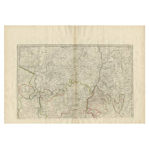
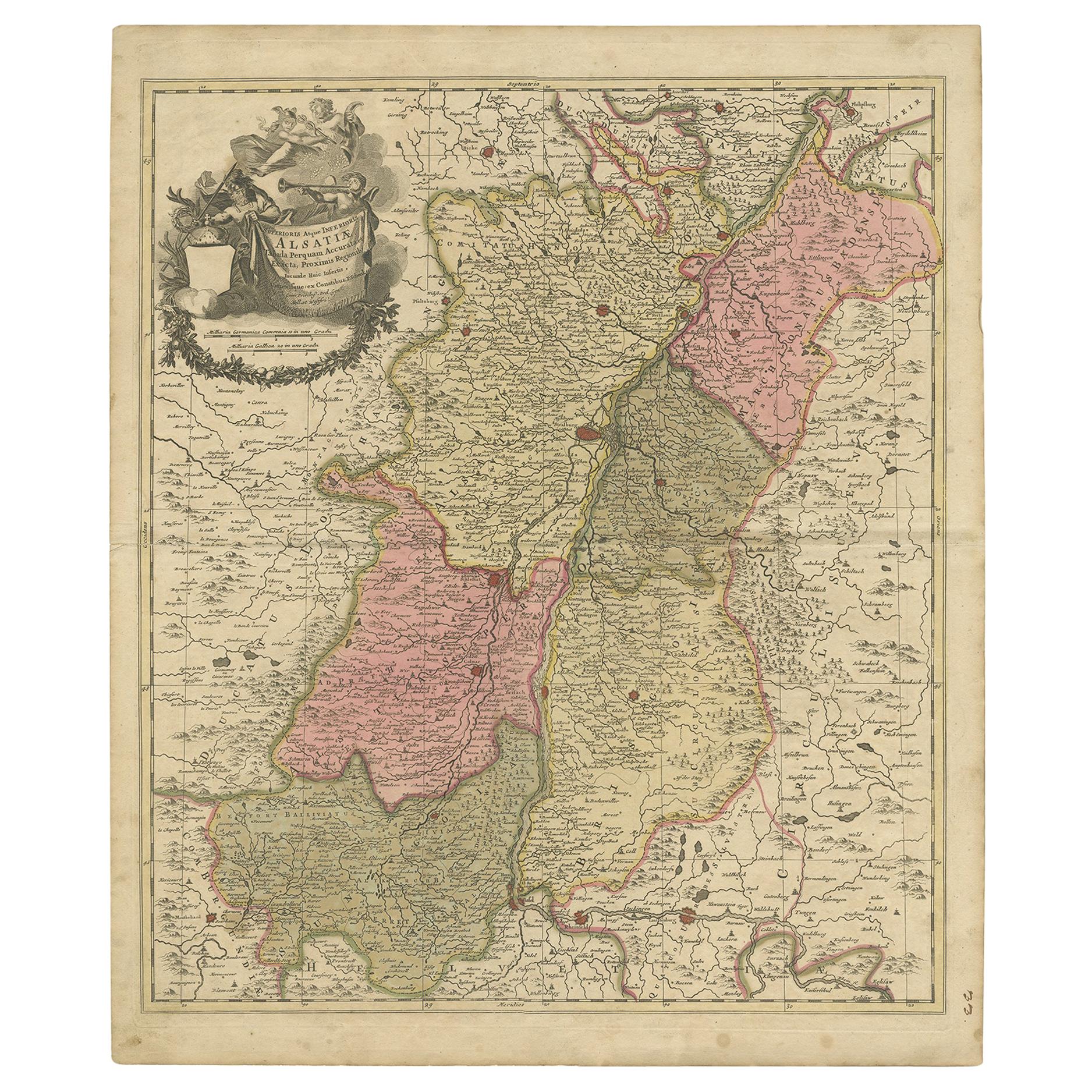
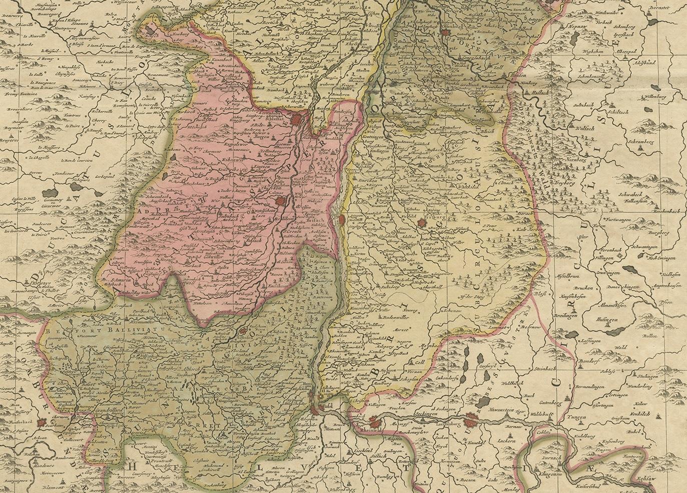
Antique Map of the Alsace Region of France by Schenk 'circa 1700'

€ 428

One of a kind: this is the sheet in the photographs. Ships from Langweer, the Netherlands.

Date
1700
Sheet size
62 × 52.5 cm (24.4 × 20.7 in)
Condition
Good
Reference
BG-12233-1

Condition

Original/contemporary hand coloring. Age-related toning and minor wear. Split on folding line, blank verso, please study images carefully.

About this sheet

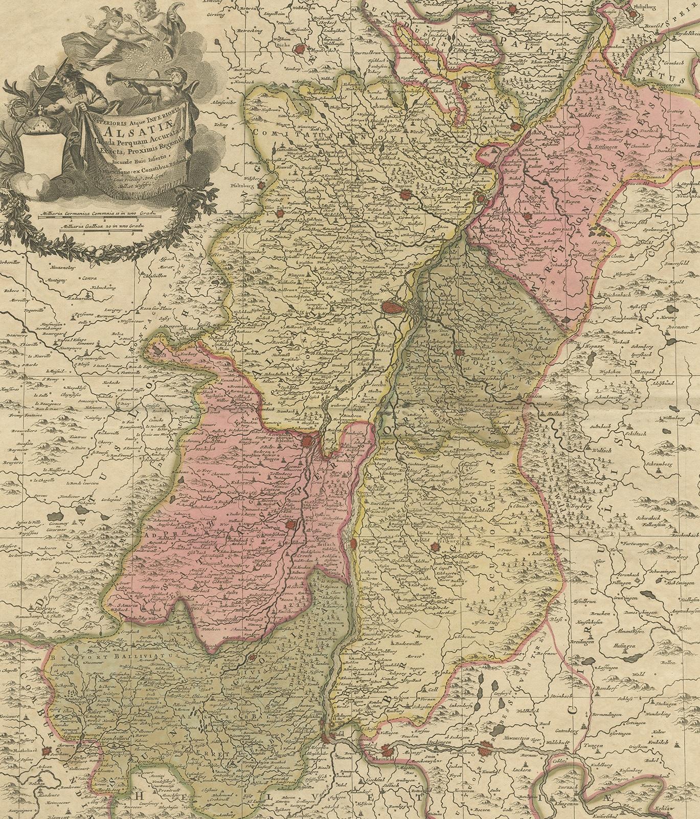
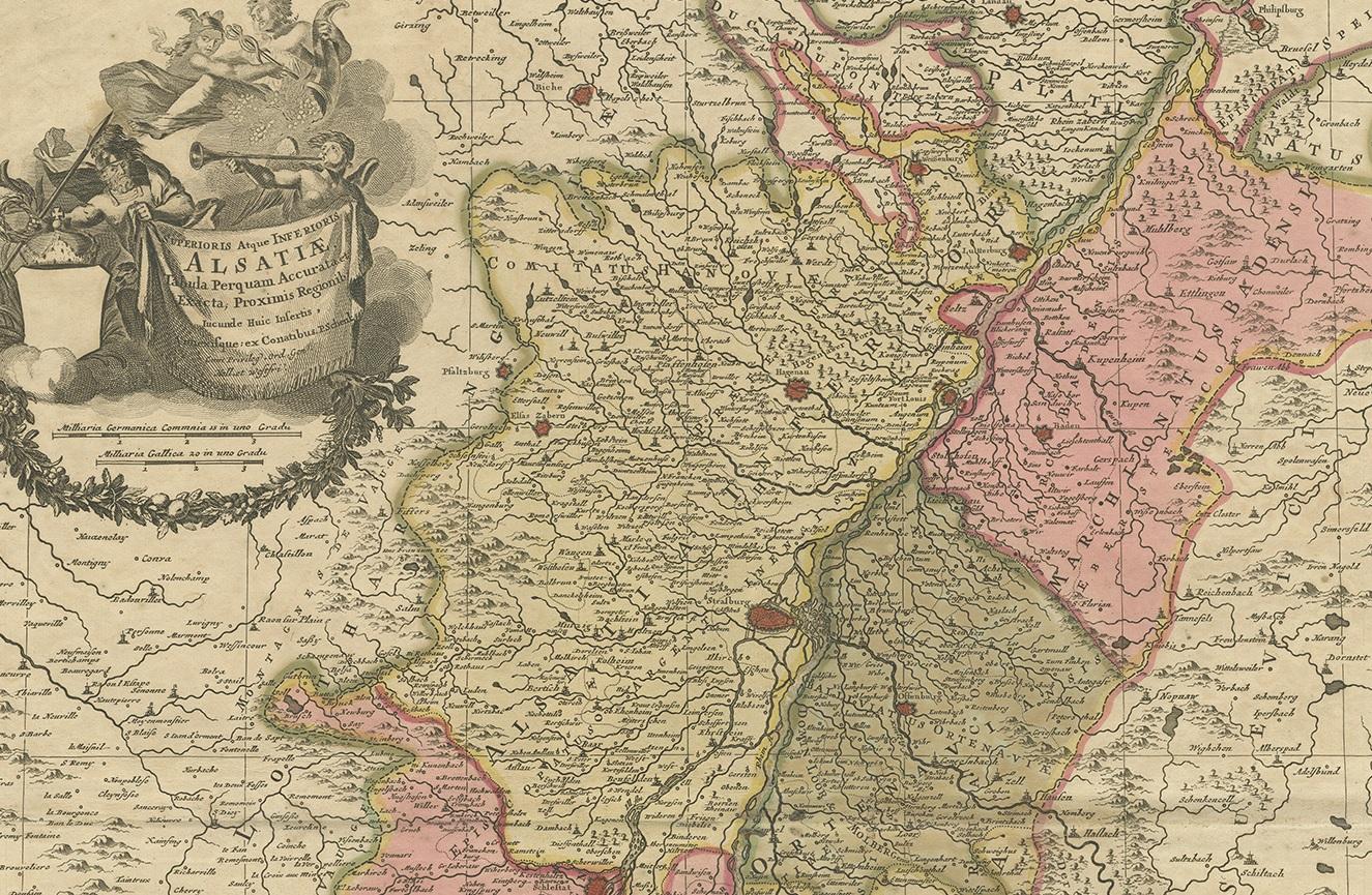
Antique map titled 'Superioris atque Inferioris Alsatiae'. Beautiful map of the Alsace region, from Basel in the south to Philipsburg in the north, centered on Strassburg. Published by P. Schenk, circa 1700.

More from France

Ask about this sheet

Antique Map of the Alsace Region of France by Schenk 'circa 1700'
1700 · Ref. BG-12233-1 · € 428
We reply by email, usually within one working day.