Maps & PrintsBartele Gallery · Langweer
Home / Antique Maps / Asia / South-East Asia / East Indies

East Indies · 19th century

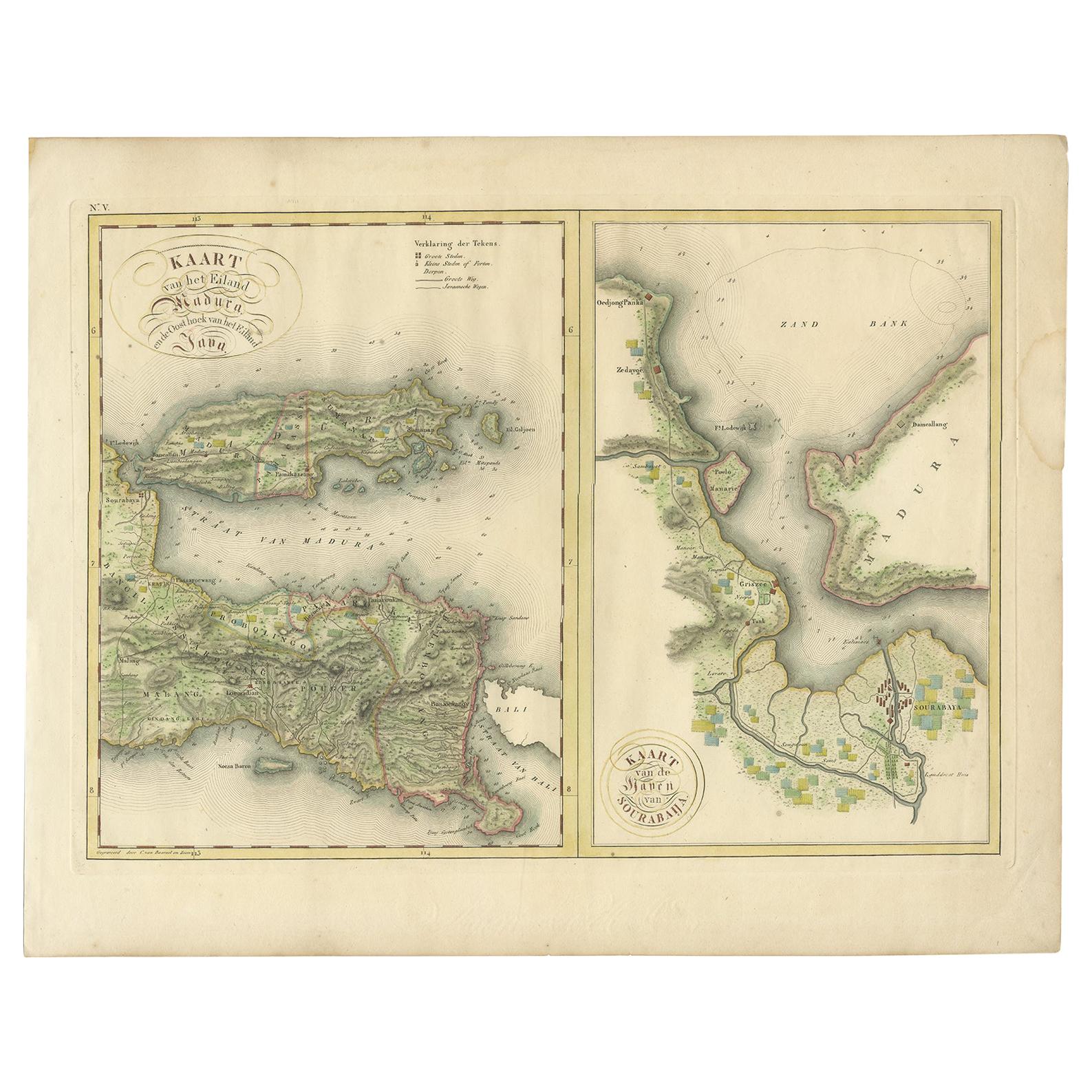
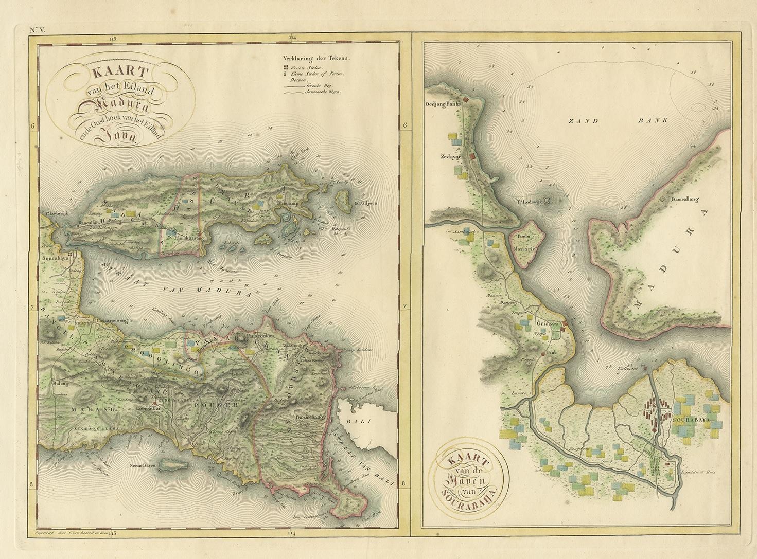
Antique Map of Madura and Surabaya by Van den Bosch, '1818'

€ 1 104

One of a kind: this is the sheet in the photographs. Ships from Langweer, the Netherlands.

Date
1818
Sheet size
46 × 58 cm (18.1 × 22.8 in)
Condition
Good
Reference
BG-06140

Condition

General age-related toning. Some wear and marginal tears. Please study images carefully.

About this sheet

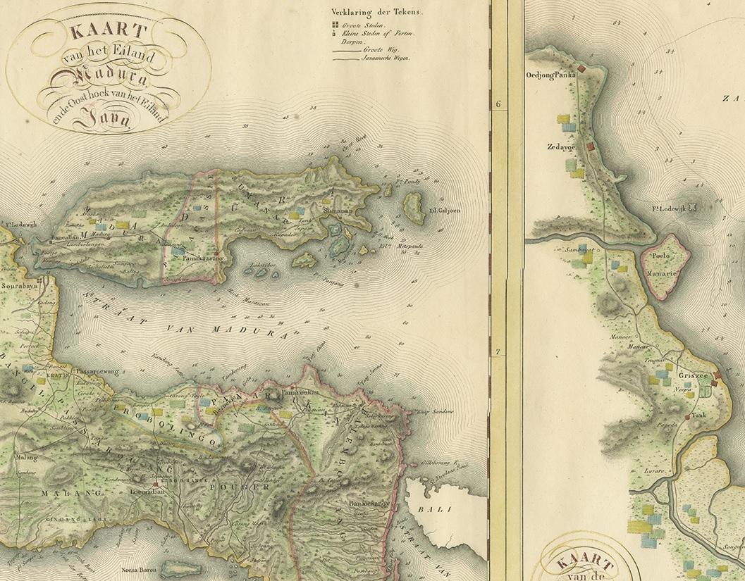
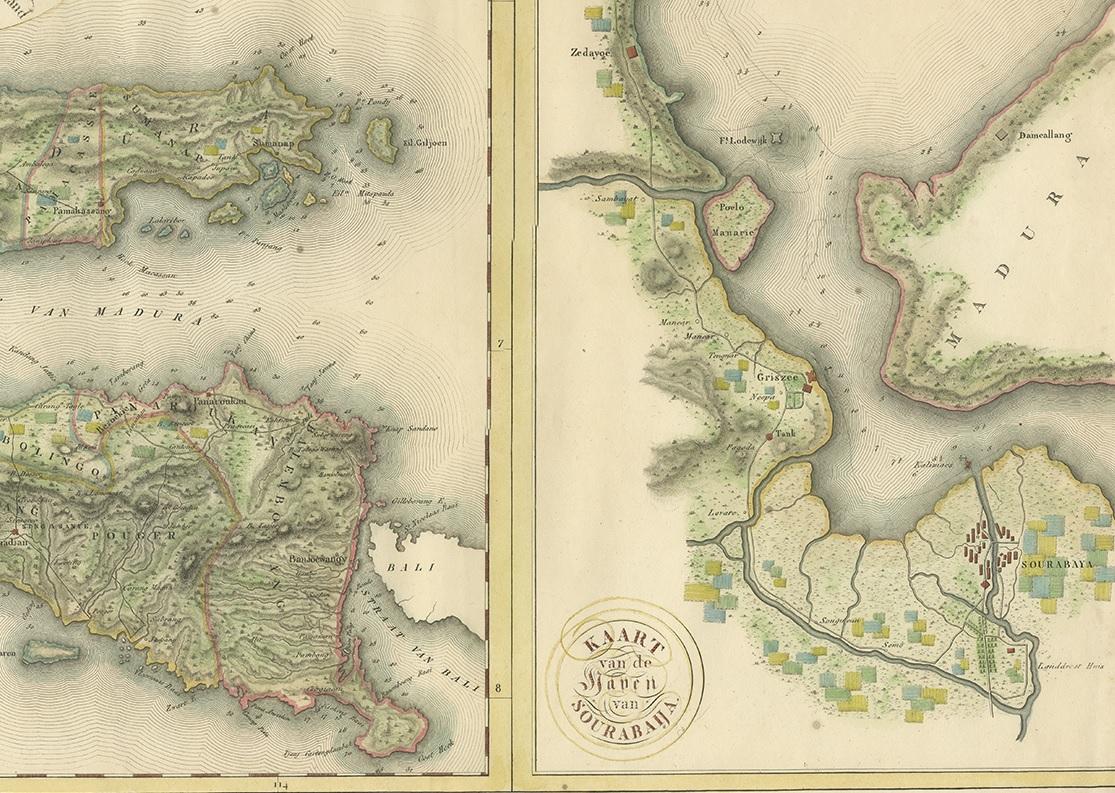
Two maps on one sheet titled 'Kaart van het Eiland Madura en de Oost hoek van het Eiland Java' and 'Kaart van de Haven van Sourabaija'. The left map shows East Java with the Island of Madura. The right map shows the harbour of Surabaya, the capital of the Indonesian province of East Java.

One of 12 maps from 'Atlas van Overzeesche bezittingen' (Atlas of Oversea Possessions) by J.S. van den Bosch. J.S. van den Bosch (1780-1844), Major General, Knight of the 3rd class of the Military William Order.

More from East Indies

Ask about this sheet

Antique Map of Madura and Surabaya by Van den Bosch, '1818'
1818 · Ref. BG-06140 · € 1 104
We reply by email, usually within one working day.