Maps & PrintsBartele Gallery · Langweer
Home / Antique Maps / America / South America

South America · 18th century

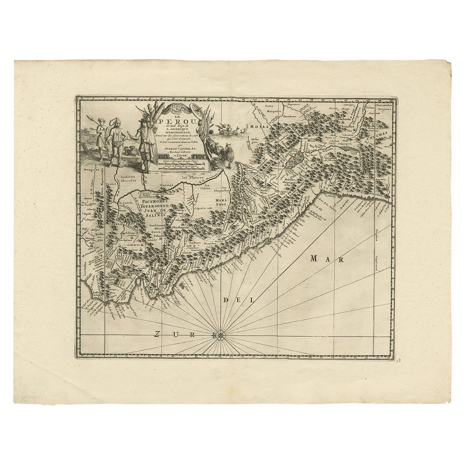
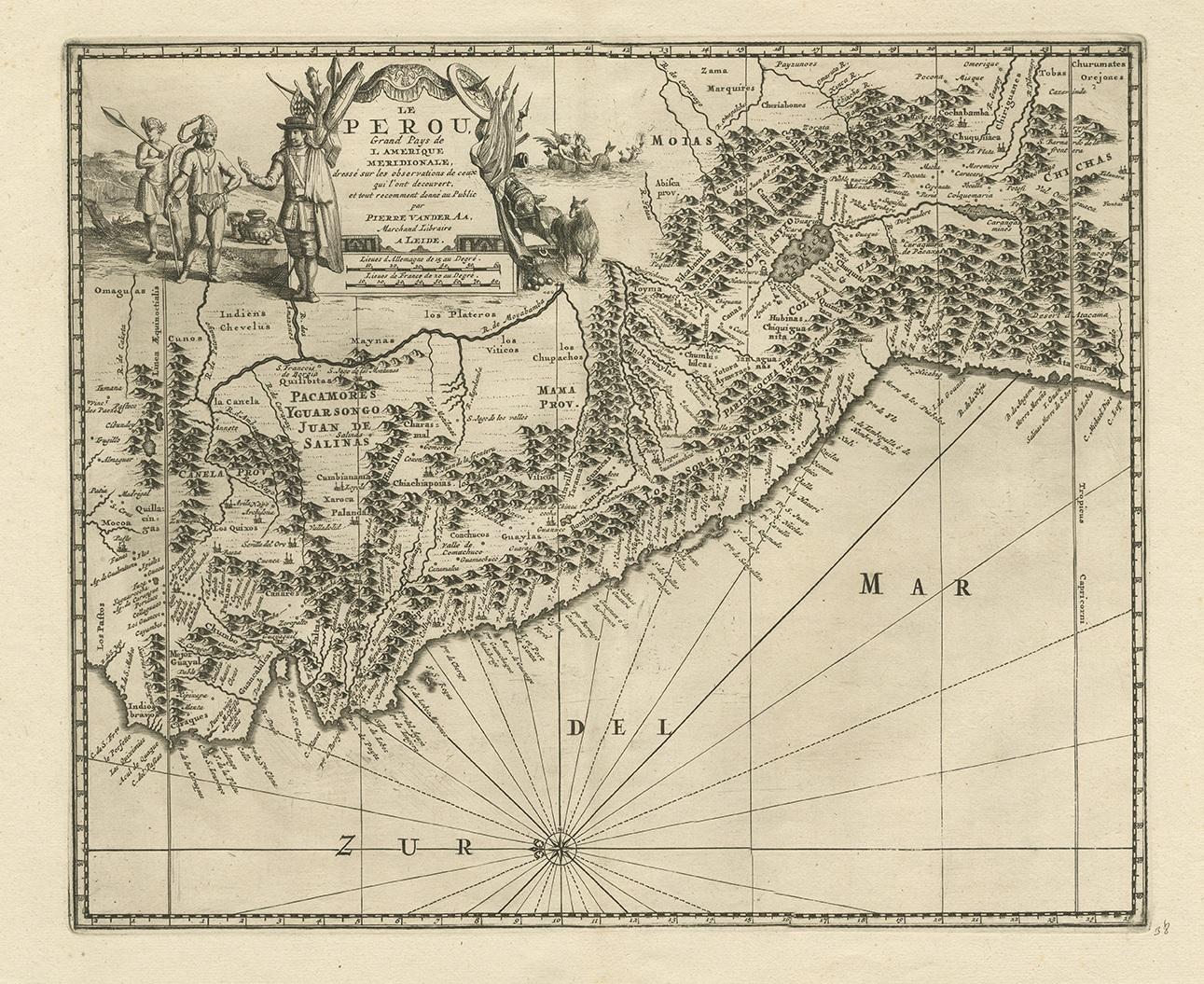
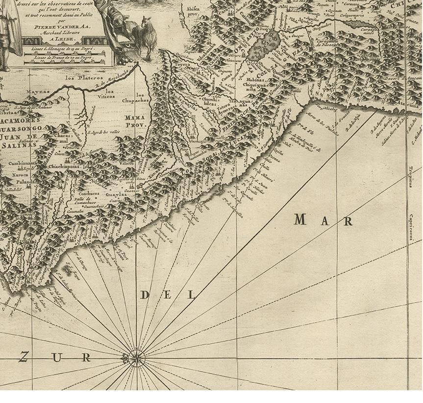
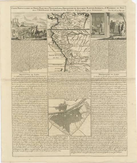
Antique Map of Peru by van der Aa, 'circa 1720'

€ 693

One of a kind: this is the sheet in the photographs. Ships from Langweer, the Netherlands.

Date
1720
Technique
Engraved
Sheet size
38 × 48.5 cm (15.0 × 19.1 in)
Condition
Good
Reference
BG-12274

Condition

Minor wear, blank verso. Few tiny wormholes to the bottom margin. Please study images carefully.
About this sheet

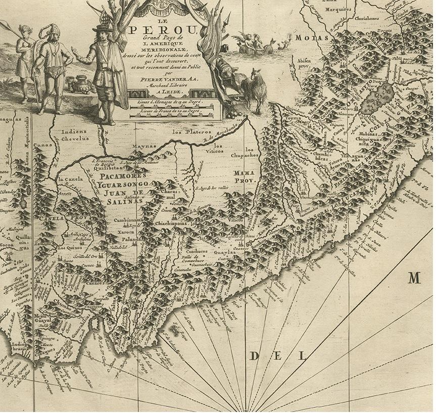
Antique map titled 'Le Perou, Grand Pays de l Amerique Meridionale (..)'. Decorative map of Peru including portions of Ecuador and northern Chile and Bolivia. It is densely filled with pictorial mountains and numerous place names along the coast. In the interior, Lake Titicaca is prominently shown as well as the Carangas Mines (silver). A lavishly decorated title cartouche features natives, fauna, mermaids and European flags and weaponry. North is oriented to the left.

More from South America

Ask about this sheet

Antique Map of Peru by van der Aa, 'circa 1720'
1720 · Ref. BG-12274 · € 693
We reply by email, usually within one working day.