About this sheet
Duval Asia Map 1663 China Japan Korea Great Wall Antique French Cartography
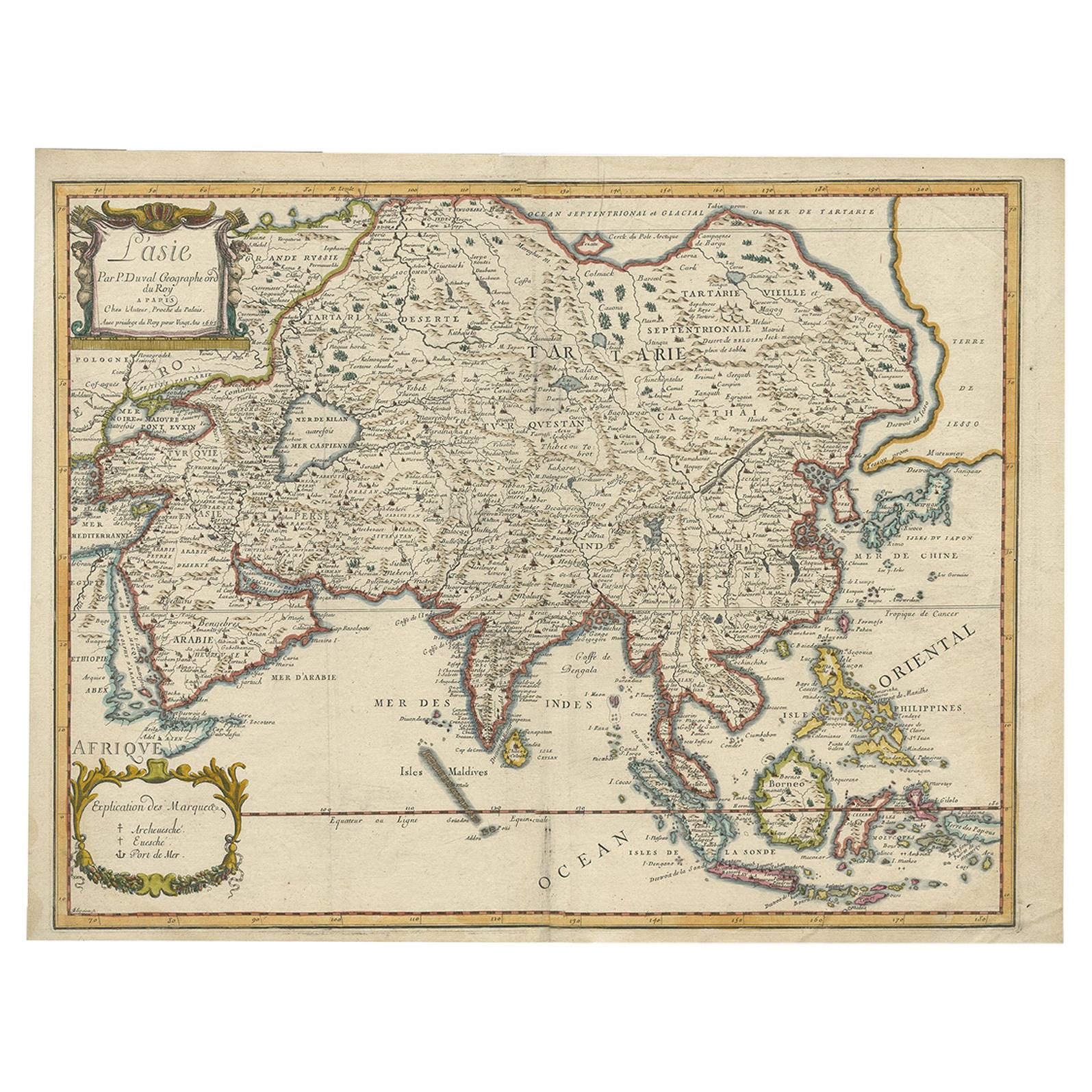
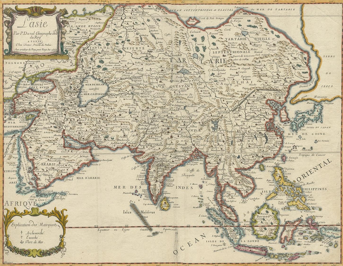
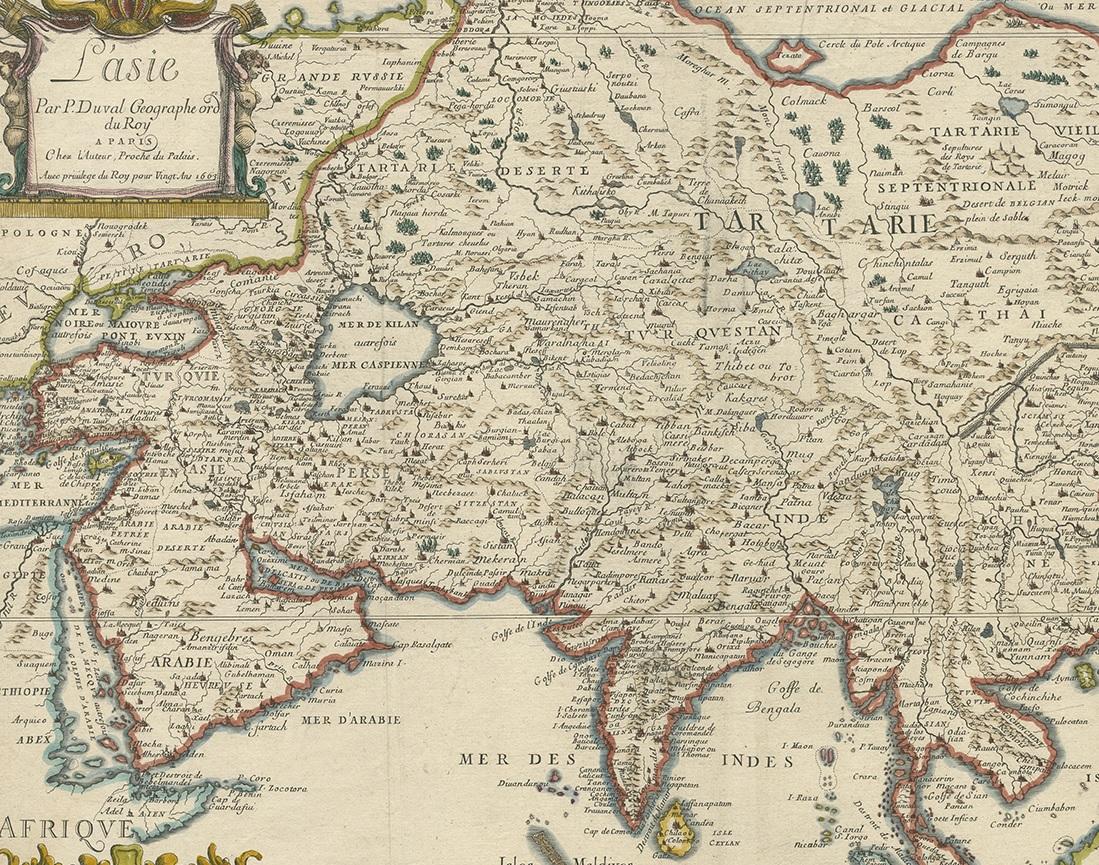
This elegant 17th-century map titled “L’Asie” is a finely executed French representation of the Asian continent by Pierre Duval, one of the foremost cartographers of Louis XIV’s France. Published in Paris in 1663, the map reflects a significant stage in European geographic knowledge, presenting Asia with increasing accuracy at a moment when global exploration, trade, and diplomatic contact were rapidly transforming Western understanding of the East.
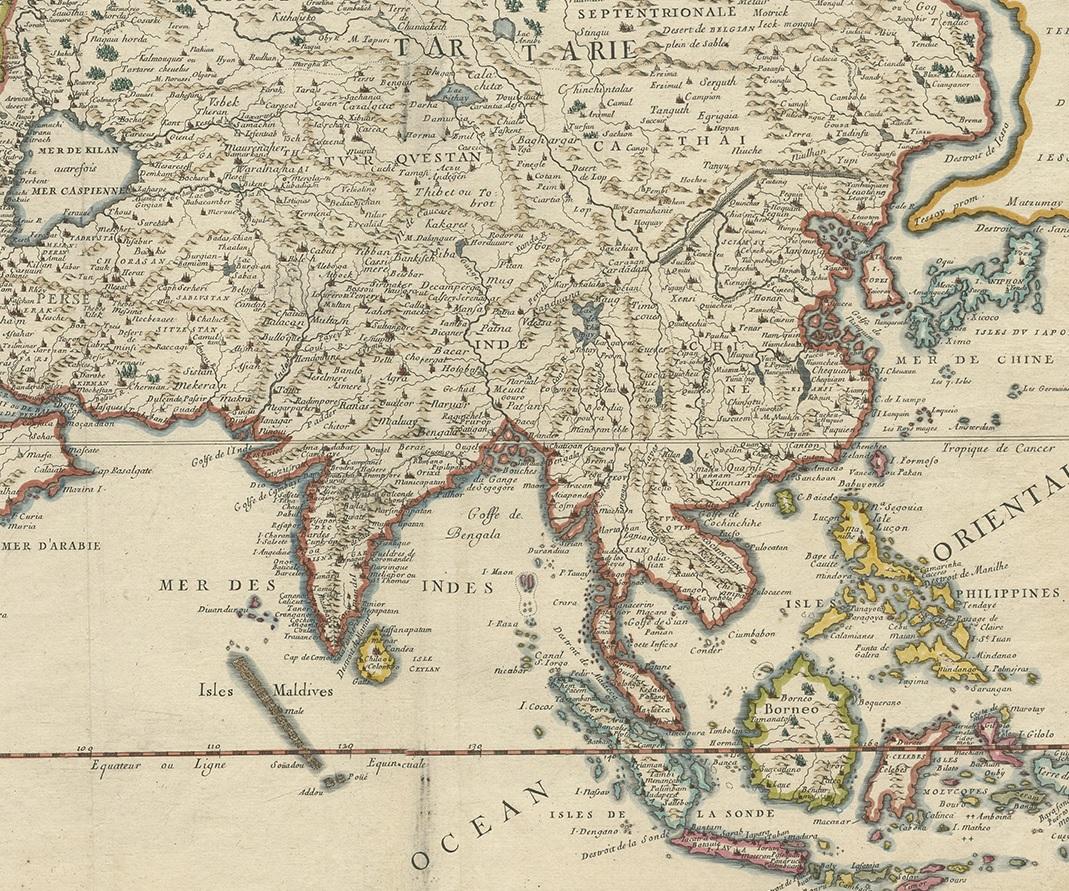
Most of the place names shown represent geographical entities that still exist today or once existed historically, giving the map strong continuity between early modern geography and the modern world. Particularly notable is the improved rendering of Japan and the Korean peninsula, both shown with greater accuracy than in earlier 16th-century maps. The lower islands of Japan are better proportioned, and Korea is clearly depicted as a peninsula rather than an island, marking an important correction in European cartography.
China dominates the interior of the continent and is richly detailed with provinces, river systems, and cities. One of the most appealing features is the visible tracing of the Great Wall of China, still a relatively rare and highly sought-after element in maps of this period. Southeast Asia, India, and the Indonesian archipelago are clearly outlined, demonstrating the influence of Dutch and Portuguese maritime sources that Duval skillfully synthesized into his French cartographic tradition.
Pierre Duval was royal geographer to the King of France and a member of the influential Sanson family of cartographers. His maps are valued for their clarity, balance, and intellectual rigor, blending scientific precision with refined decorative restraint. The cartouche and decorative elements are elegant without overpowering the geographic content, making this map especially attractive for both scholarly and decorative display.
This map is well suited for collectors of early Asian cartography, French Golden Age mapping, and historians of China, Japan, and Korea. It also works beautifully as a large decorative wall map for both classic and contemporary interiors.
Condition Report
Good antique condition. Original paper with light, even age toning. Minor handling wear and small edge imperfections consistent with a 17th-century engraving. Plate mark visible. Details remain strong and legible throughout.
Framing Tips
This map will display beautifully in a classic dark wood, black lacquer, or lightly gilded frame with a wide ivory or warm grey mat. Museum glass is recommended to protect the original paper and enhance contrast in the engraved detail.
Technique: Copperplate engraving with original hand colouring
Maker: Pierre Duval, Paris, 1663