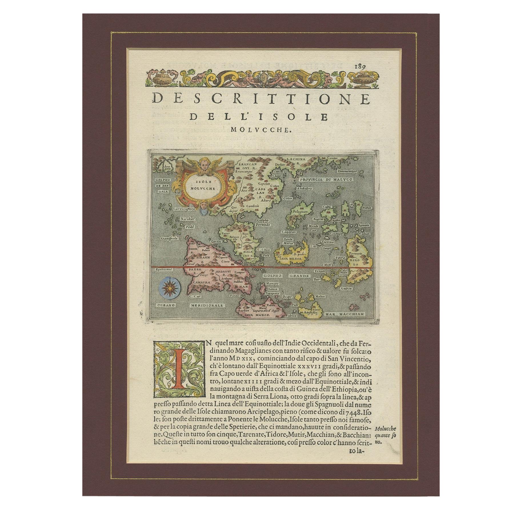
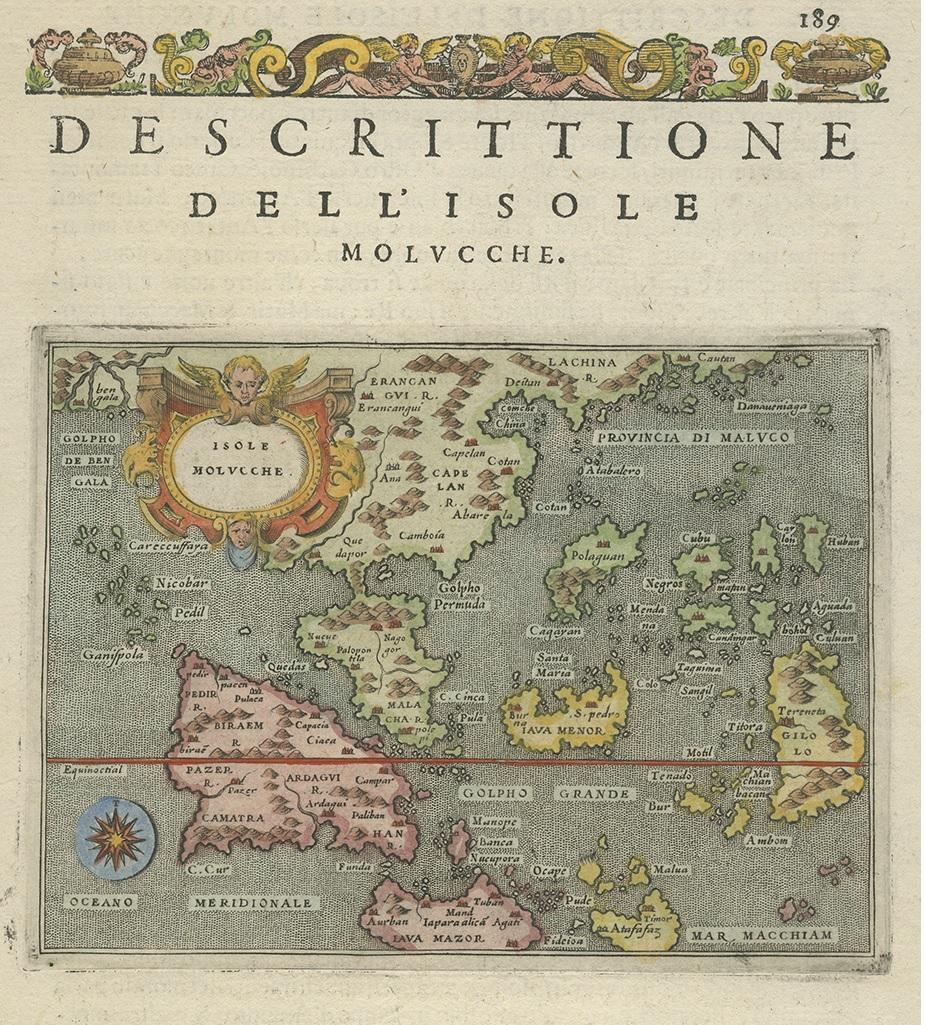
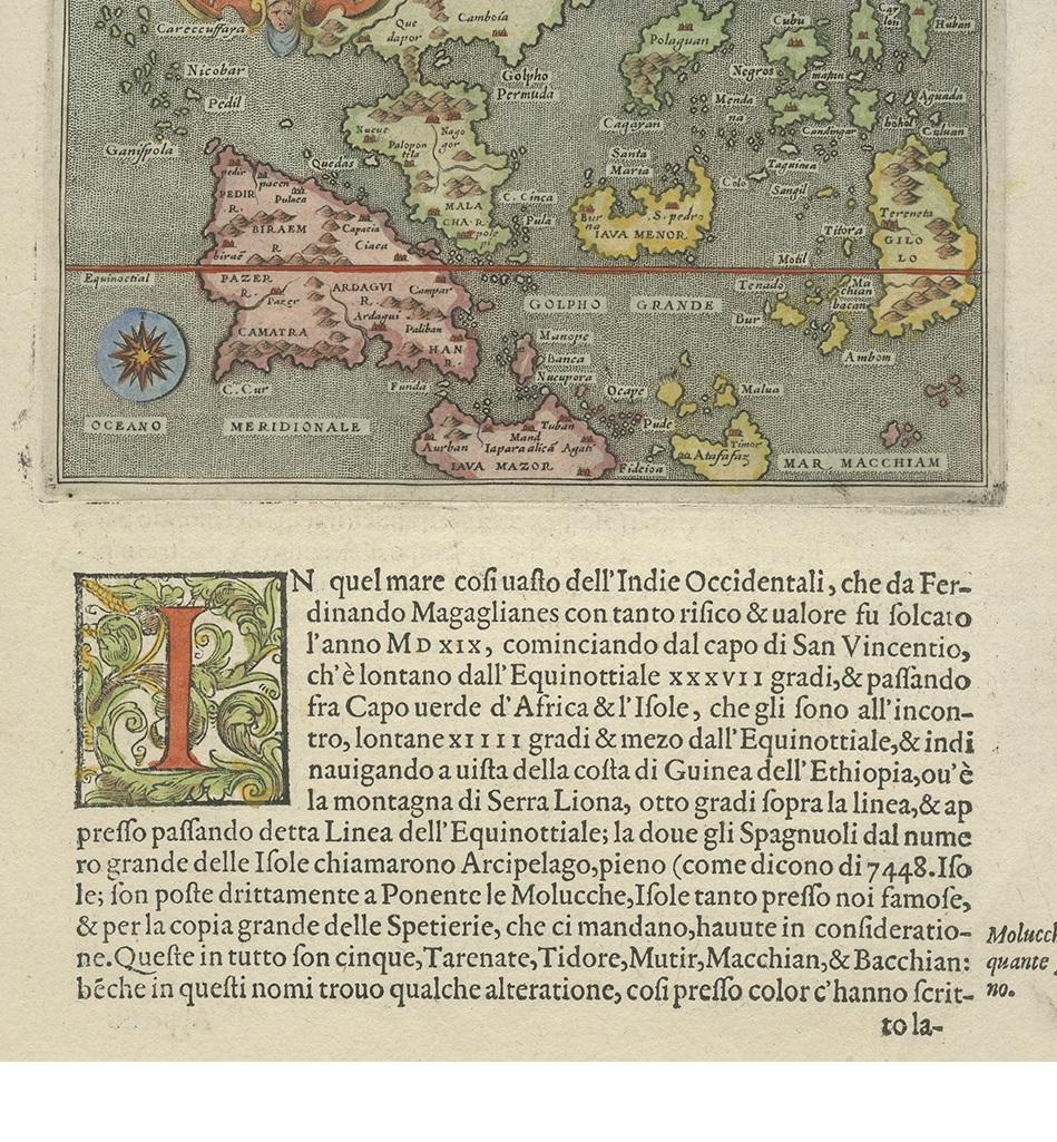
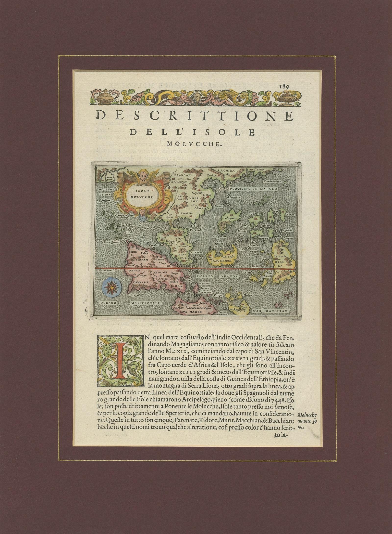
Antique Map of the Moluccas by Porcacchi, circa 1620
€ 720
One of a kind: this is the sheet in the photographs. Ships from Langweer, the Netherlands.
Date
1620
Technique
Engraved
Sheet size
37 × 27 cm (14.6 × 10.6 in)
Condition
Good
Reference
RK-1020
Condition
Good antique condition. Original paper with light overall toning consistent with age. Minor scattered spots and faint handling marks visible. No major tears or losses. Image strong and well-centered. Passe-partout included. Plate mark faintly visible.
About this sheet
Antique Map of the Moluccas in East Indies, Indonesia - Porro Venice c.1576
Description This rare and finely engraved 16th-century map titled Isole Molucche depicts the Moluccan Islands and the wider East Indies at the height of the European spice trade. The map shows an expansive geographic vision stretching from the Bay of Bengal in the west to southern China and Canton in the northeast, encompassing modern-day Indonesia, the Philippines, Indochina, and surrounding island groups. Oriented to the north, the composition reflects early European attempts to understand and control one of the most economically vital regions of the early modern world.
The map originates from the celebrated Italian atlas L’Isole più famose del mondo by Tommaso Porcacchi da Castiglione, first published in Venice in 1572. The engraving is attributed to Girolamo Porro, one of the most important Venetian map engravers of the late 16th century. This work belongs to a pioneering generation of island atlases that combined geographic science, maritime ambition, and Renaissance artistic refinement. The decorative cartouche and rich hand coloring reflect the prestige and luxury of Venetian cartography at its peak.
The Moluccas, known as the “Spice Islands,” were the world’s primary source of cloves and nutmeg, making this region the strategic target of Portuguese, Spanish, and later Dutch colonial powers. Maps such as this were not merely geographic tools but economic and political instruments that shaped the global balance of power. The surrounding seas are animated with navigation routes and island groupings that reveal how Europeans visualized long-distance maritime trade in Asia.
Offered here mounted within a tasteful passe-partout, this map presents beautifully as a stand-alone display piece. It appeals equally to collectors of early cartography, Indonesian and Southeast Asian history, maritime exploration, and European Renaissance printmaking.
Condition Report Good antique condition. Original paper with light overall toning consistent with age. Minor scattered spots and faint handling marks visible. No major tears or losses. Image strong and well-centered. Passe-partout included. Plate mark faintly visible.
Framing Tips This map is ideally suited for a classic walnut or dark ebonized frame with a soft ivory or warm grey mat to complement the aged paper tone. Museum glass is recommended to protect the hand coloring and enhance visual clarity without glare.
Technique: Copperplate engraving with original hand coloring Maker: Girolamo Porro after Tommaso Porcacchi, Venice, circa 1576