Maps & PrintsBartele Gallery · Langweer
Home / Antique Maps / Asia / South-East Asia / East Indies

East Indies · 19th century

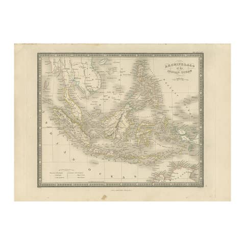
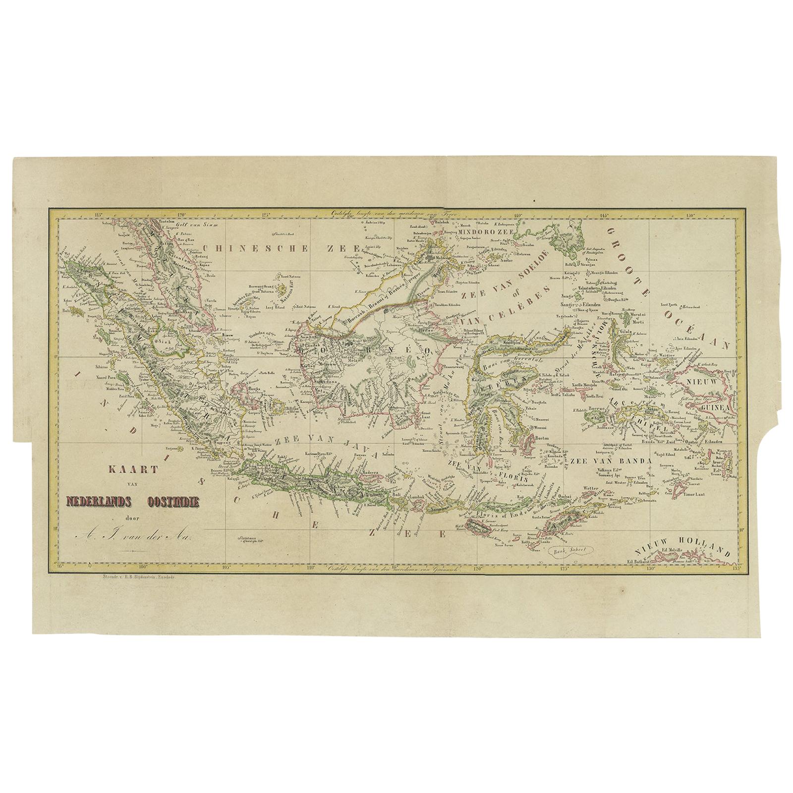
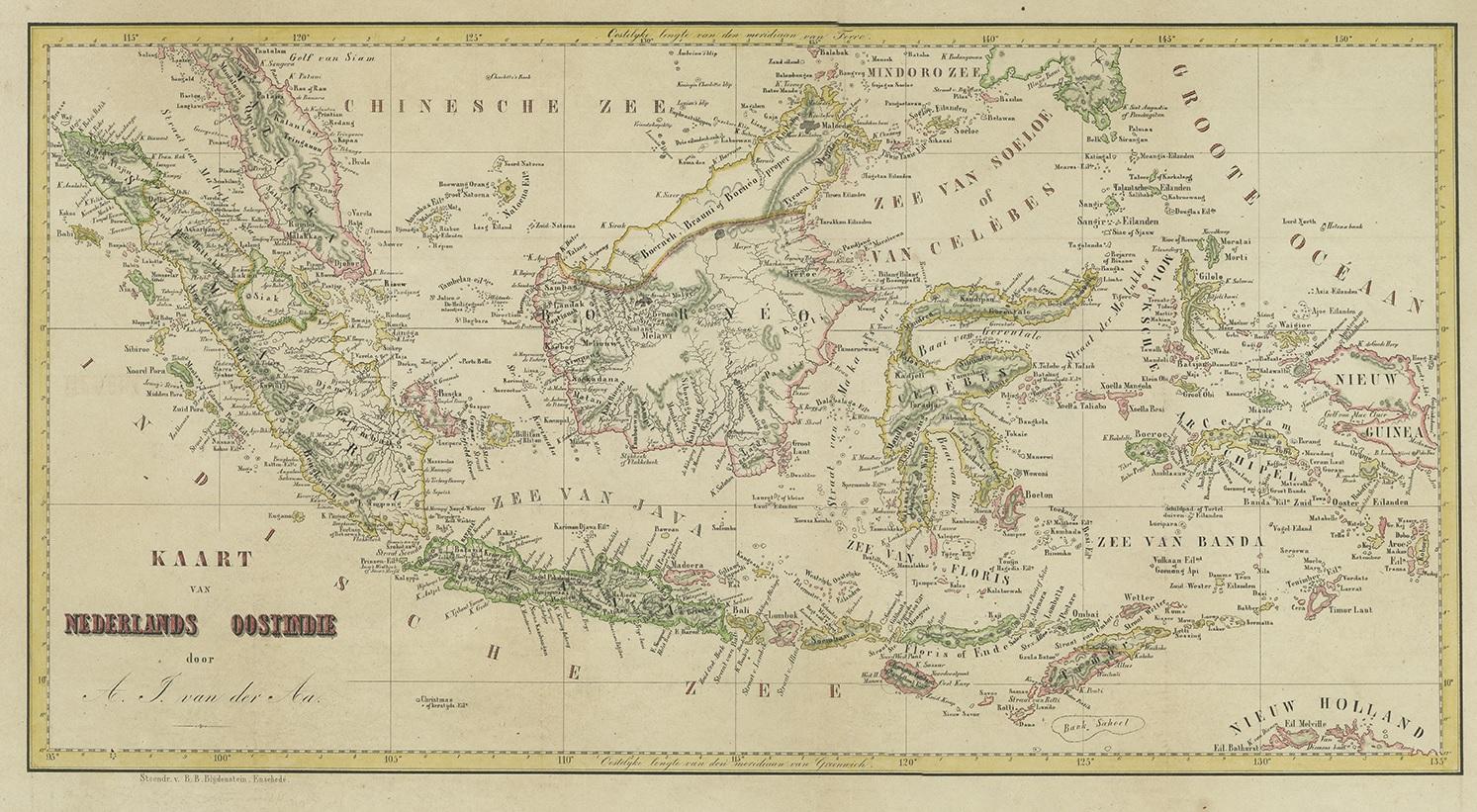
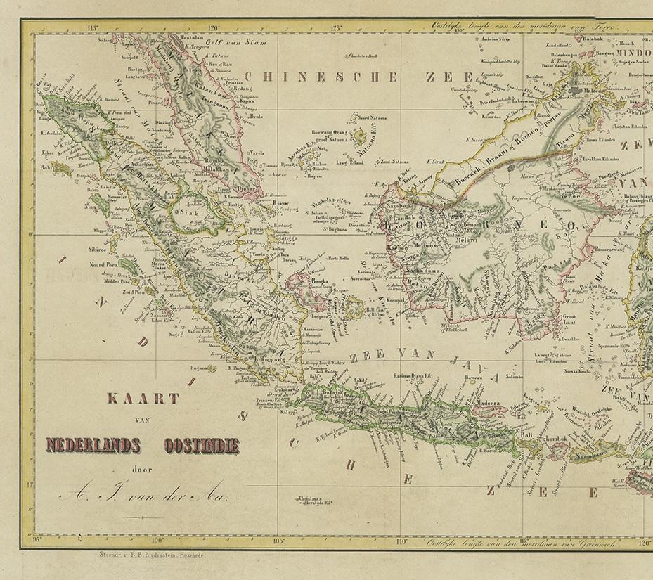
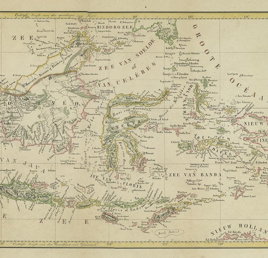
Antique Map of the East Indies by Van der Aa '1849'

€ 400

One of a kind: this is the sheet in the photographs. Ships from Langweer, the Netherlands.

Date
1849
Sheet size
36 × 57.5 cm (14.2 × 22.6 in)
Condition
Good
Reference
BG-12092

Condition

Minor structural damages. General age-related toning. Few minor defects, mostly professionally restored. Please study images carefully.
About this sheet

Antique map titled 'Kaart van Nederlands OostIndie door A.J. van der Aa'. Old map of the Dutch East Indies. This map originates from 'Nederlands Oost-Indië, of beschrijving der Nederlandsche bezittingen in Oost-Indië, voorafgegaan door een beknopt overzicht van de vestiging en uitbreiding der magt van Nedereland aldaar' by A.J. van der Aa.

More from East Indies

Ask about this sheet

Antique Map of the East Indies by Van der Aa '1849'
1849 · Ref. BG-12092 · € 400
We reply by email, usually within one working day.