Maps & PrintsBartele Gallery · Langweer
Home / Antique Maps / Asia / West Asia & the Holy Land

West Asia & the Holy Land · 18th century

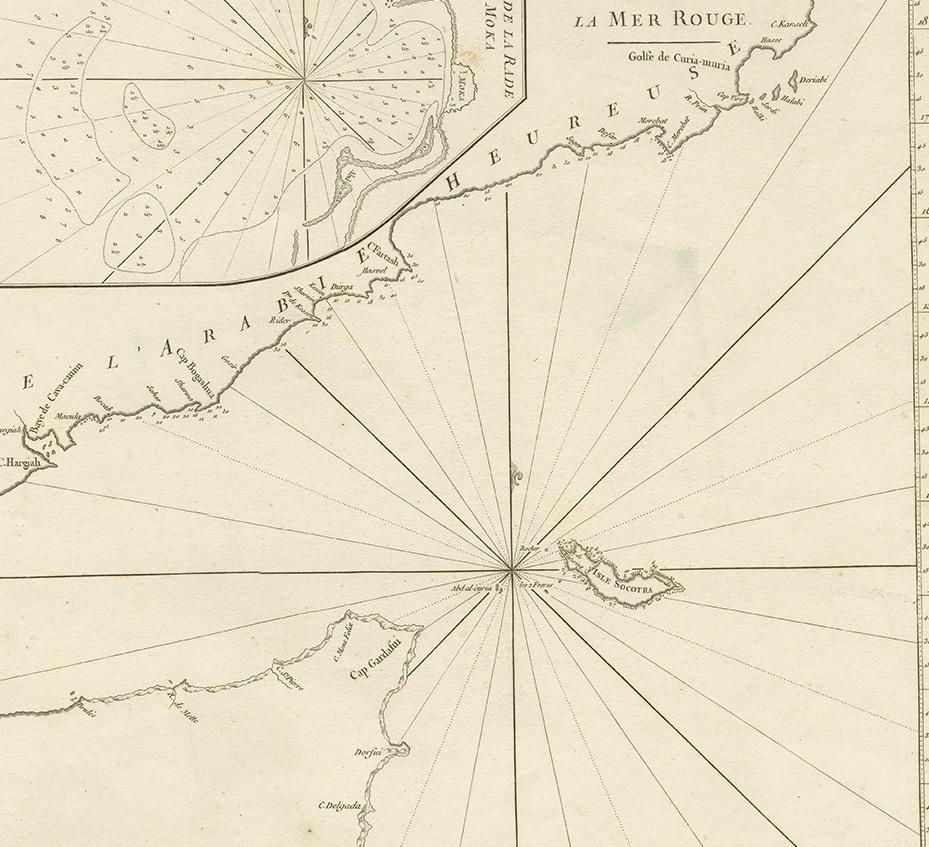
Original Antique Engraved Map of Part of the Red Sea, Arabia, 1775

€ 437

One of a kind: this is the sheet in the photographs. Ships from Langweer, the Netherlands.

Date
1775
Sheet size
39 × 55 cm (15.4 × 21.7 in)
Condition
Good
Reference
BG-00701

Condition

Please study images carefully.
About this sheet

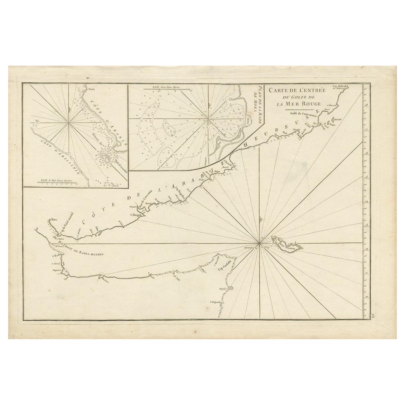
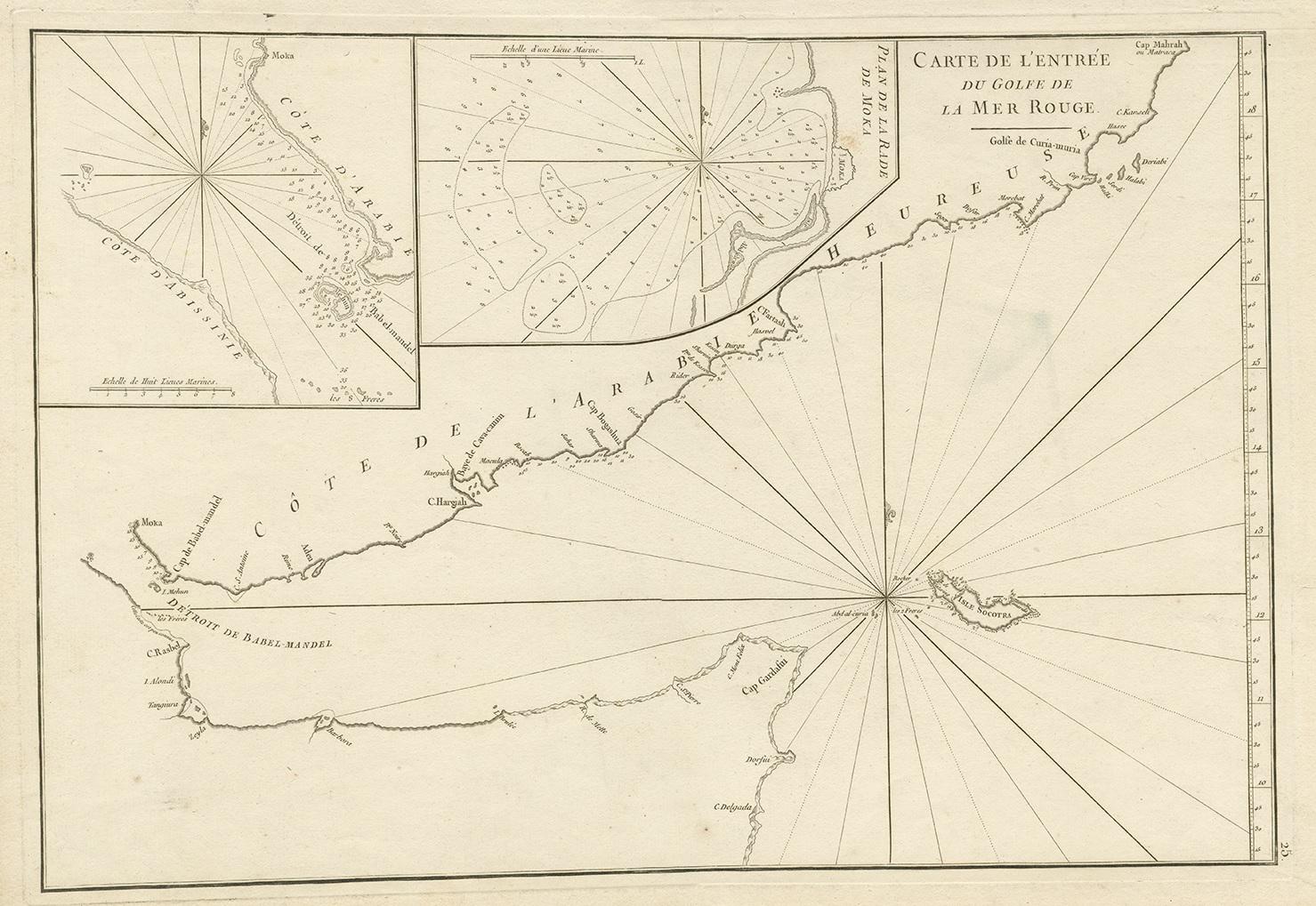
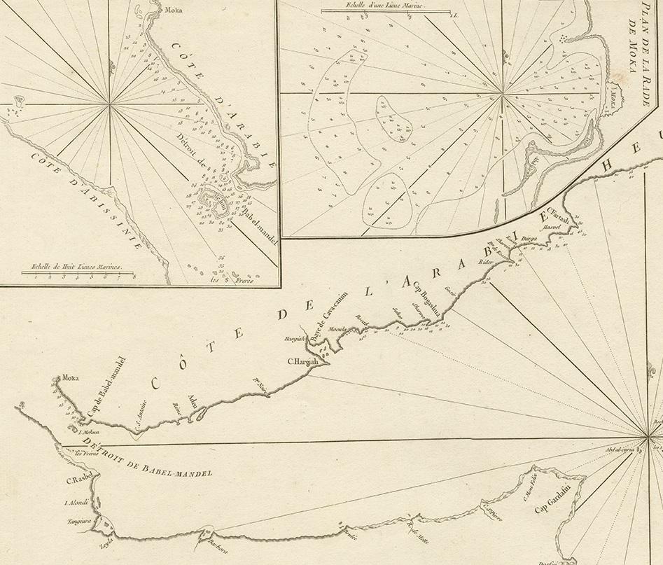
Antique map titled 'Carte de l'Entrée du Golfe de la Mer Rouge'. Uncommon sea chart of the entrance to the Red Seas as far as Mocha, with rhumb lines and soundings. Two insets of the vicinity of Mocha.

More from West Asia & the Holy Land

Ask about this sheet

Original Antique Engraved Map of Part of the Red Sea, Arabia, 1775
1775 · Ref. BG-00701 · € 437
We reply by email, usually within one working day.