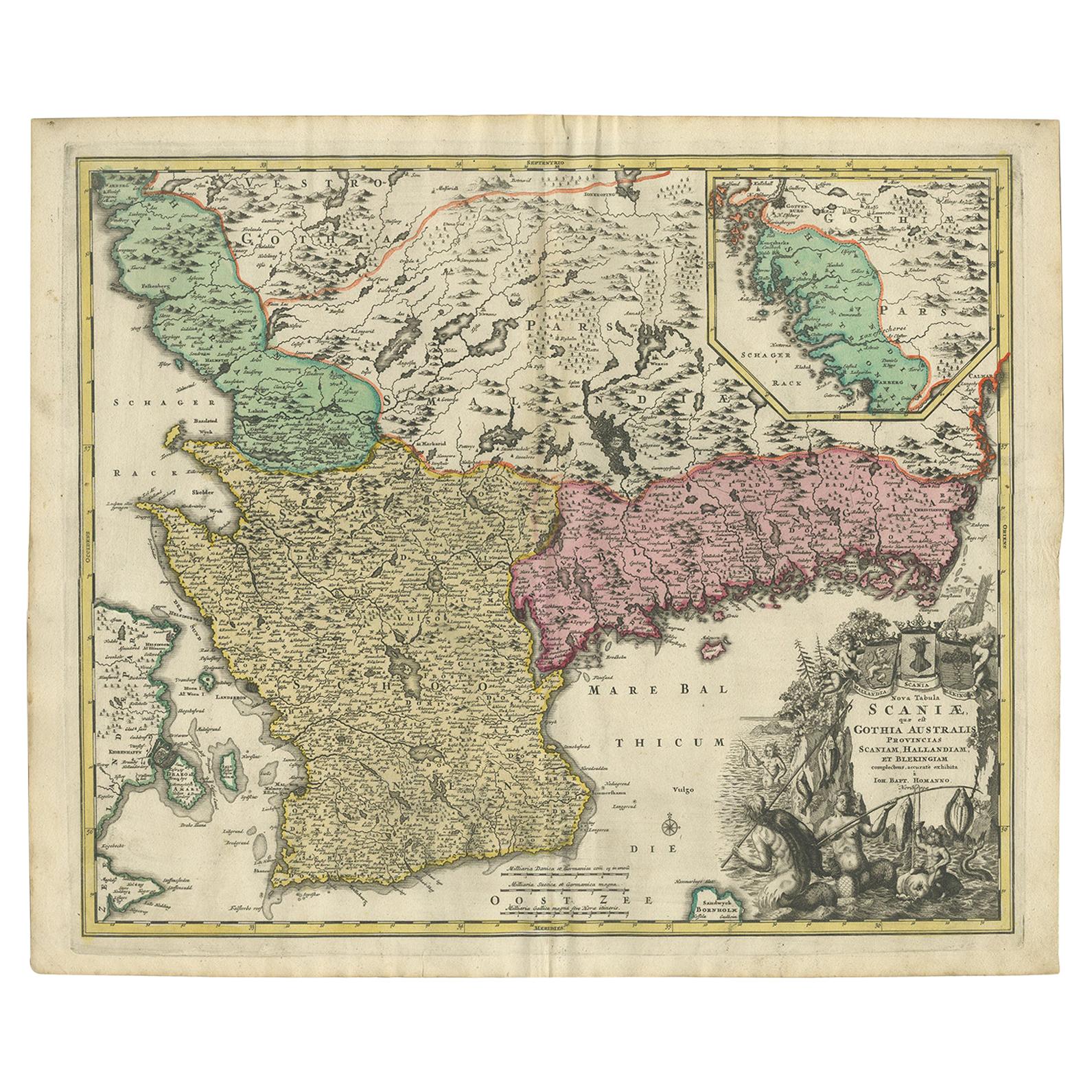
Southern Sweden Provinces Map – Homann’s ‘Nova Tabula Scaniae’, ca. 1730
€ 550
One of a kind: this is the sheet in the photographs. Ships from Langweer, the Netherlands.
Date
1730
Technique
Engraved
Sheet size
53 × 62.5 cm (20.9 × 24.6 in)
Condition
Good
Reference
BG-12242-1
Condition
Very good condition. Original hand coloring. Light overall toning consistent with age, faint centerfold as issued, and minor edge wear. Has darker border around in margins and strong paper without repairs or tears.
About this sheet
Southern Sweden Provinces Map – Homann’s ‘Nova Tabula Scaniae’, ca. 1730
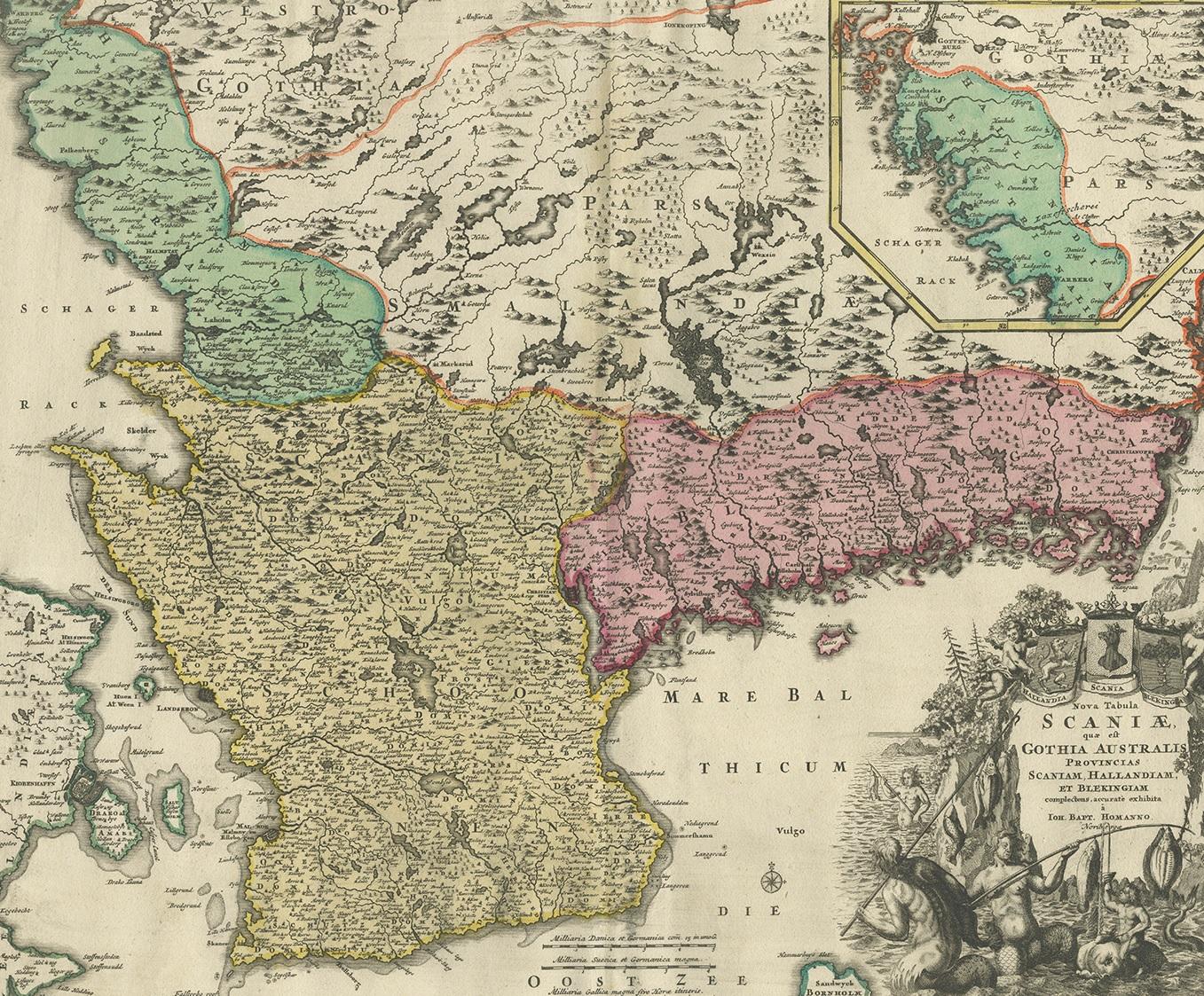
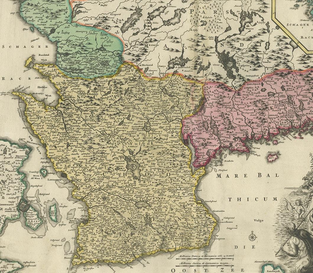
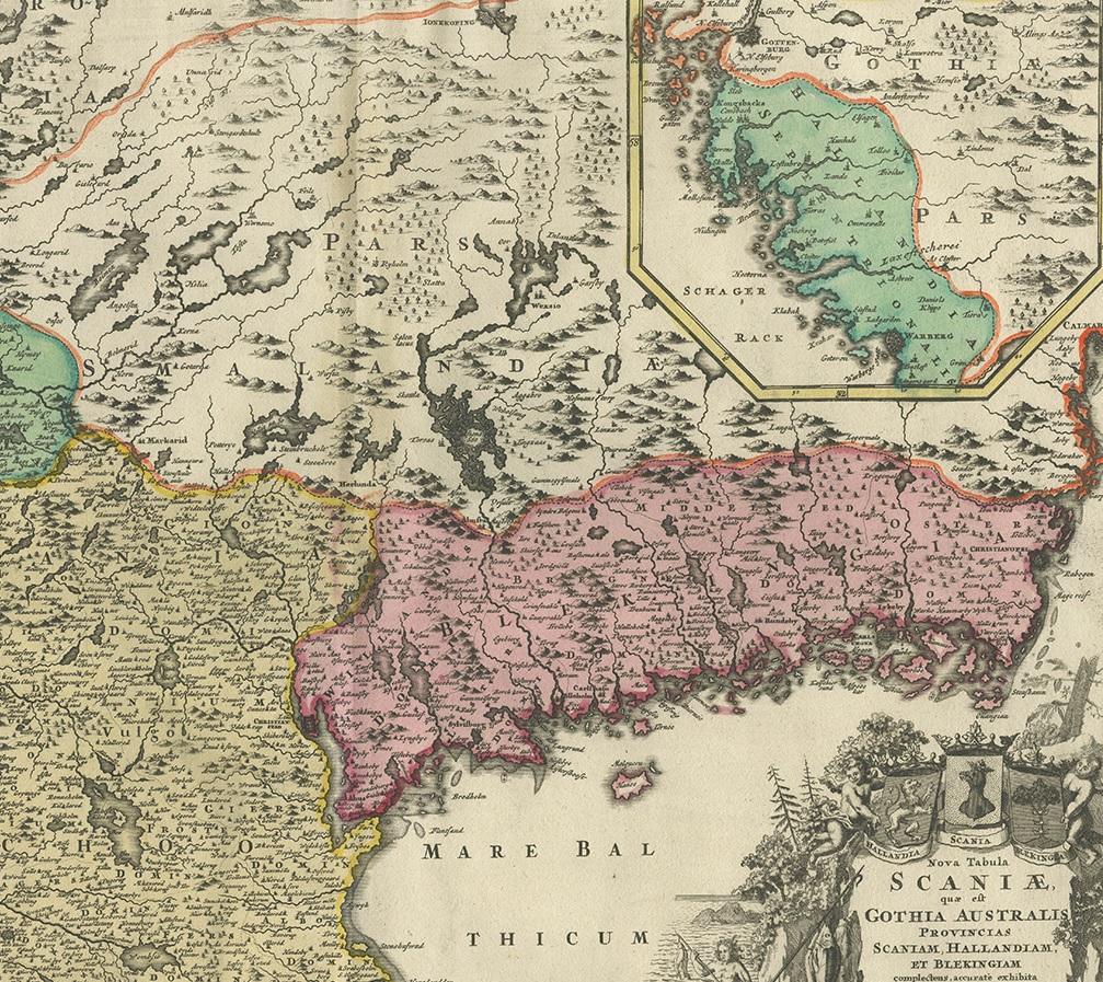
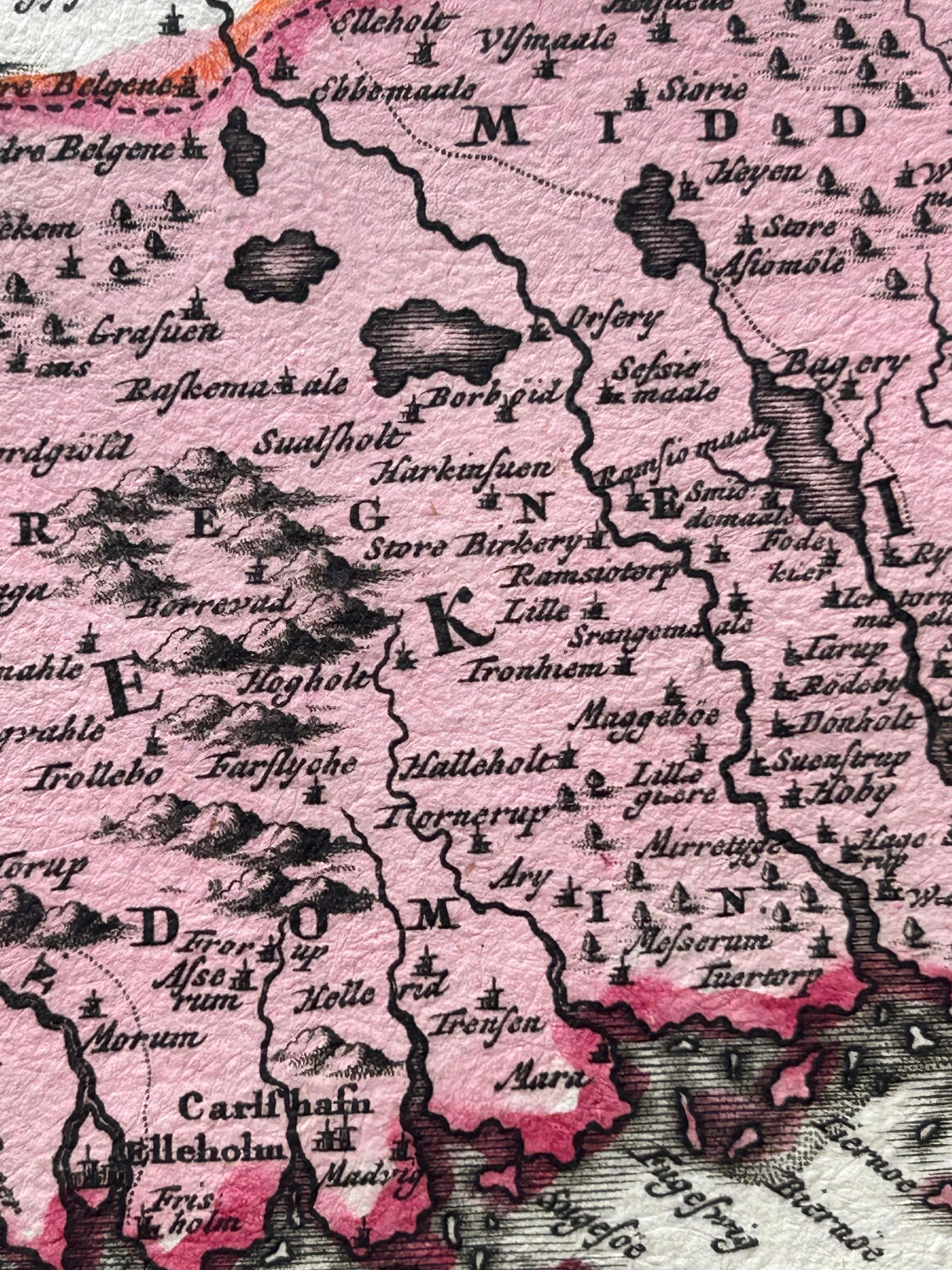
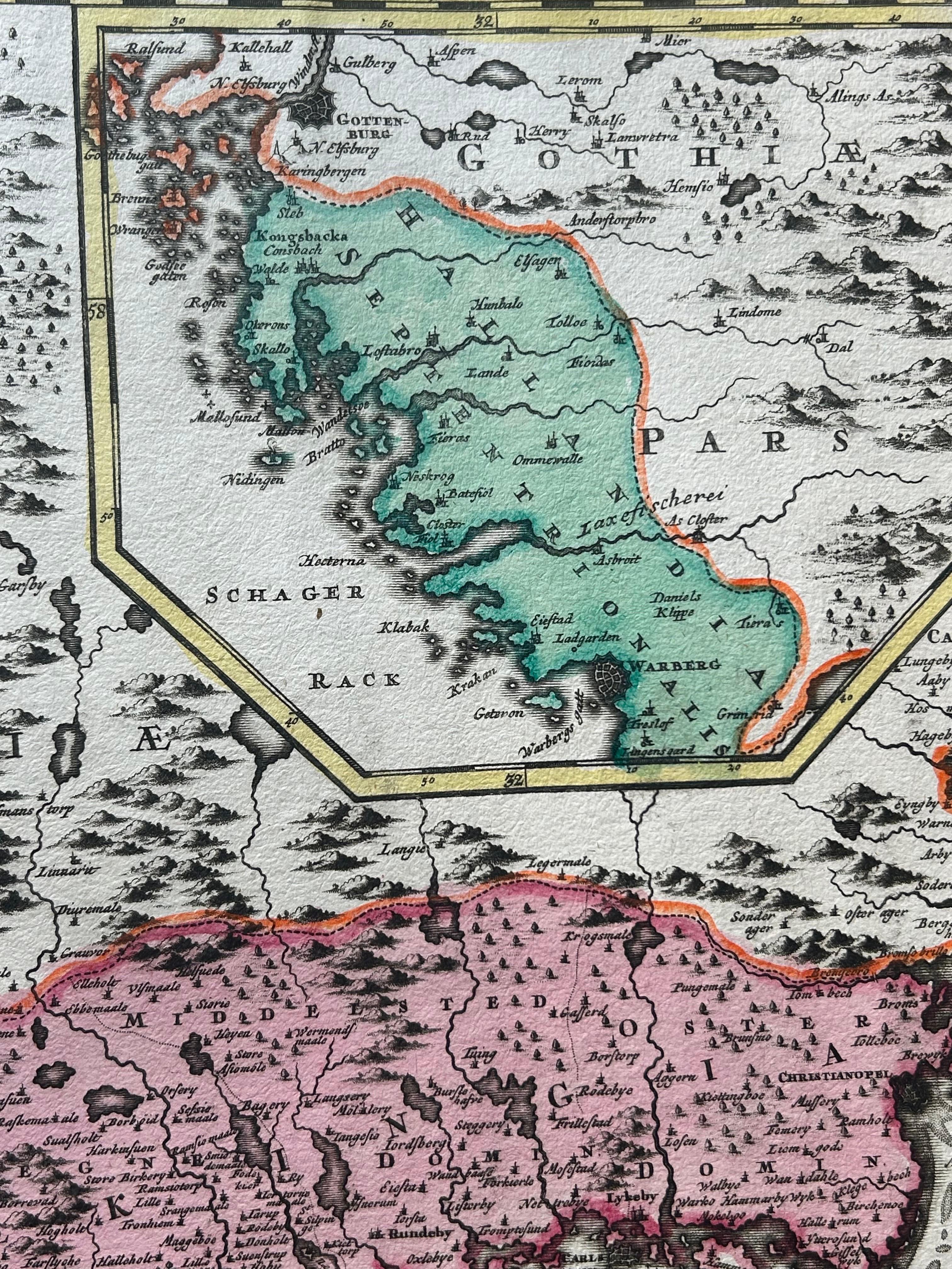
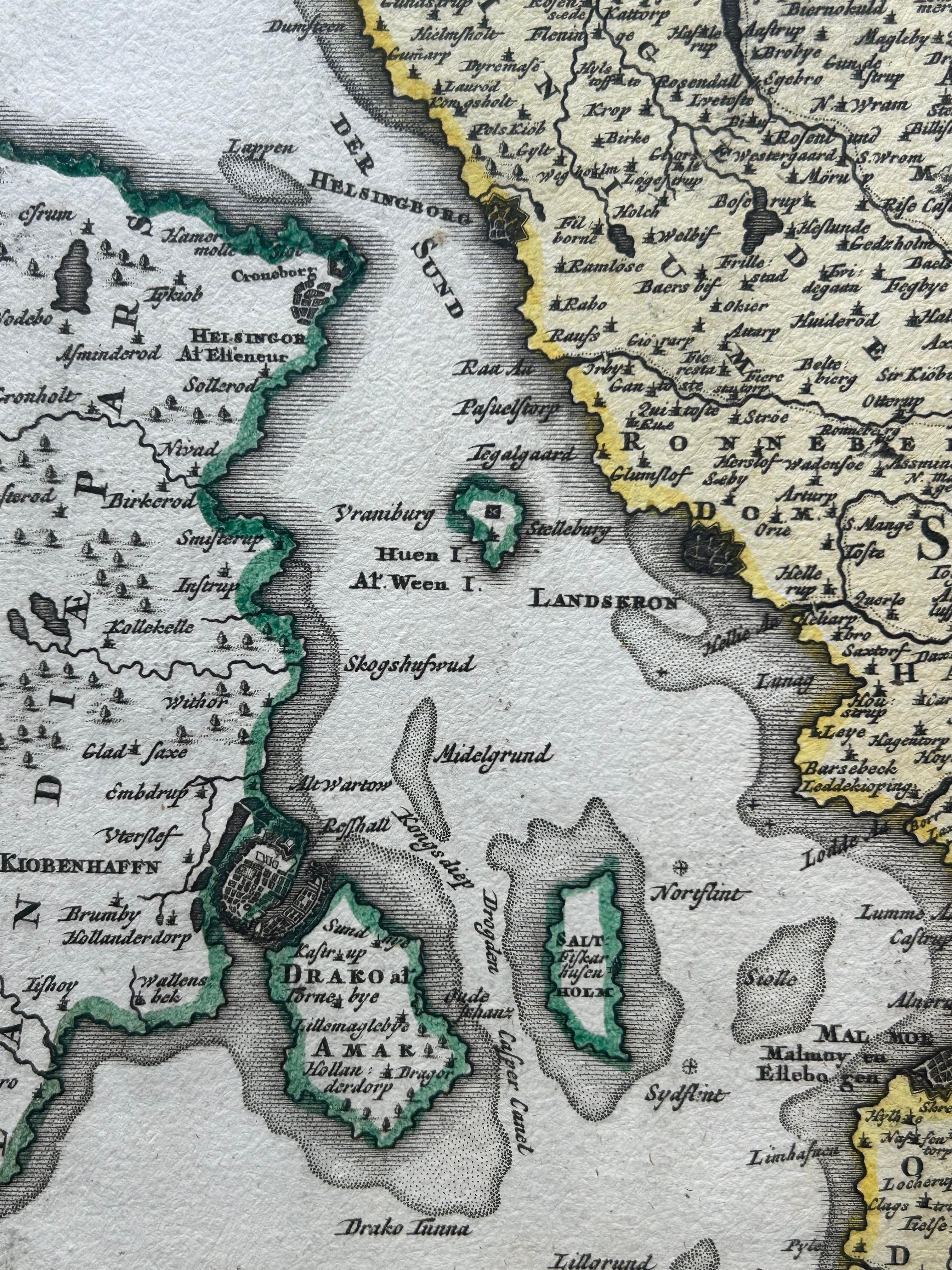
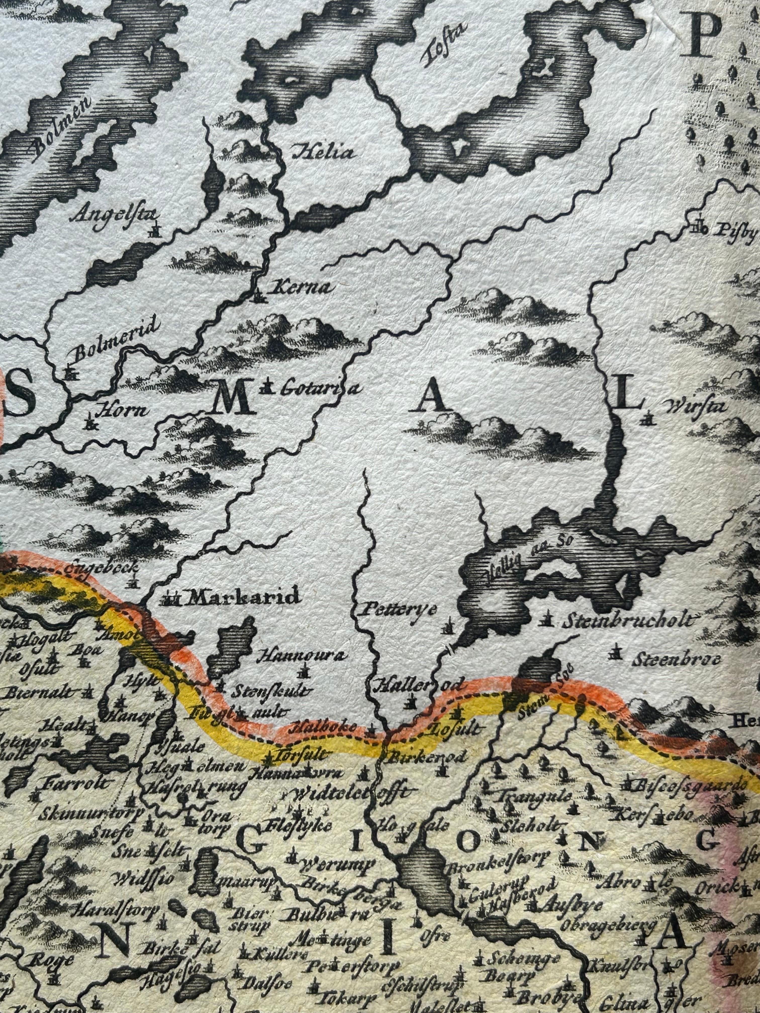
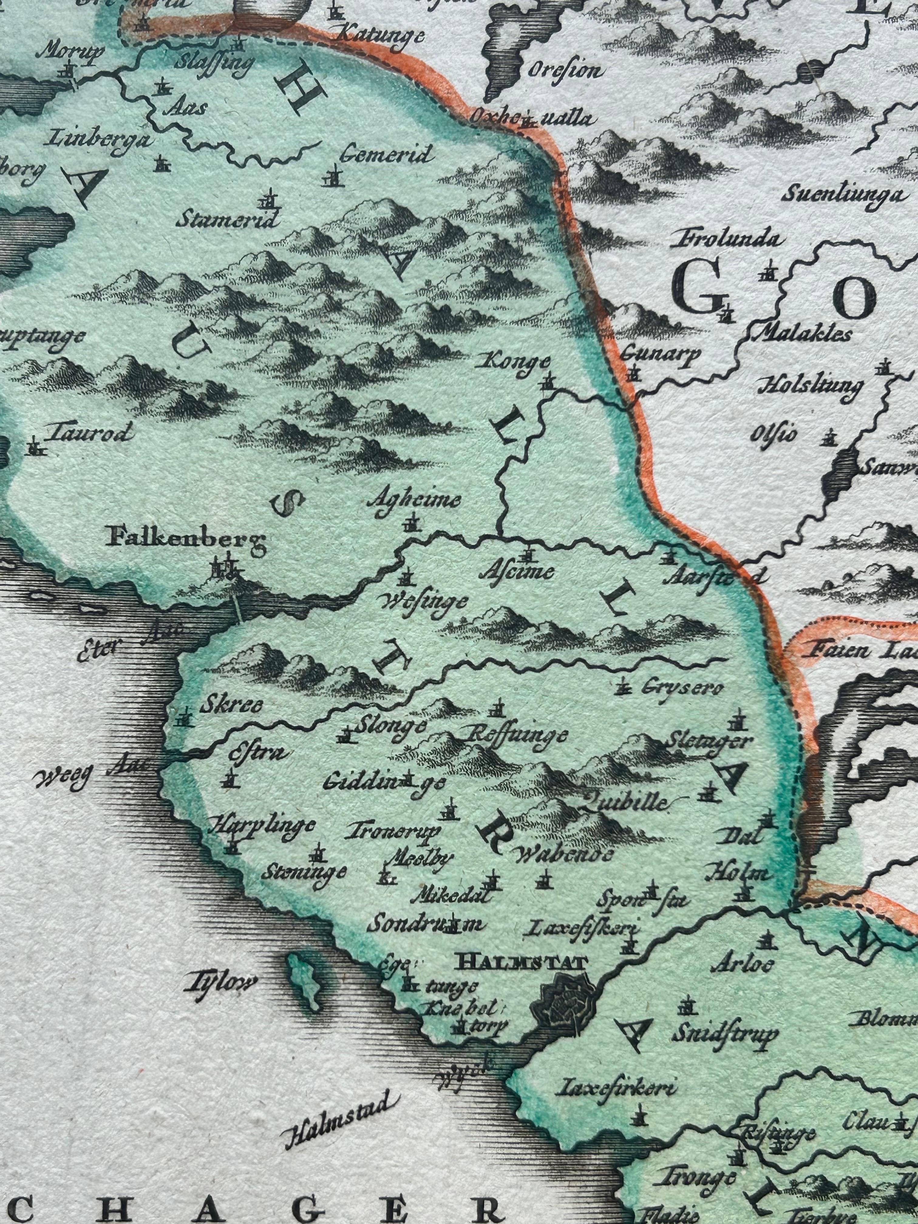
Antique map titled 'Nova Tabula Scaniae in qua sunt Scania, Blekingia et Hallandia'. This decorative map shows the southern provinces of Sweden—Scania (Schonen), Blekinge, and southern Halland—with towns such as Malmö and Karlskrona clearly marked. It includes a detailed inset map of the northern part of Halland in the upper right corner.
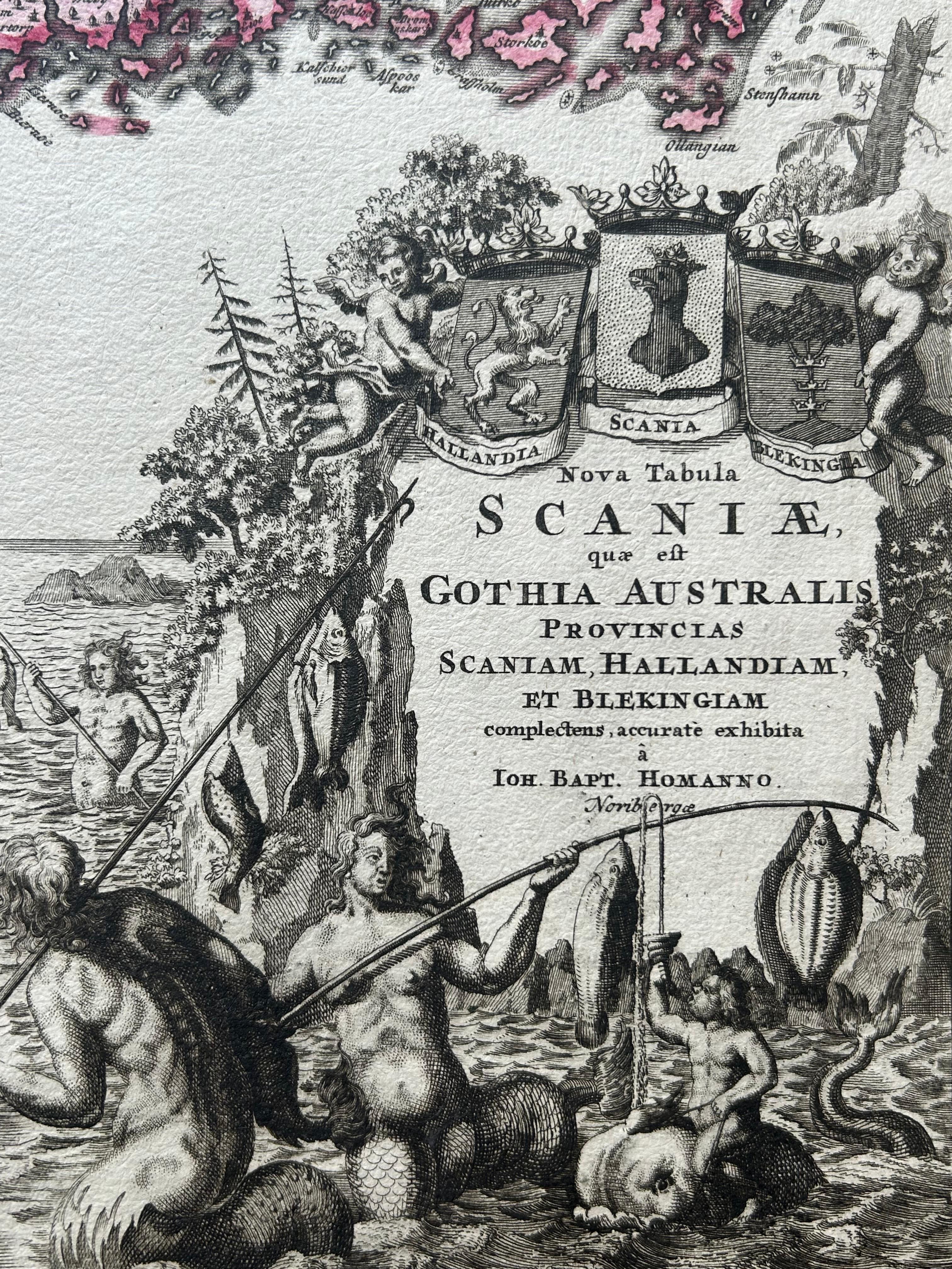
The map was published by Johann Baptist Homann, a leading German cartographer of the early 18th century, and is known for its richly engraved and artistically composed works. The title cartouche at lower right is especially striking, adorned with allegorical figures, coats of arms, and maritime motifs reflecting the importance of the region's coastal cities and naval presence.
This map captures a time when the southern part of present-day Sweden had relatively recently been ceded from Denmark to Sweden (Treaty of Roskilde, 1658), and still bore significance both politically and culturally. The precise detailing of towns, rivers, coastlines, and topographic features reveals the meticulous skill of Homann’s engravers.
Condition report: Very good condition. Original hand coloring. Light overall toning consistent with age, faint centerfold as issued, and minor edge wear. Has darker border around in margins and strong paper without repairs or tears.
Framing tips: This map pairs well with a gold or walnut-toned wooden frame. Use a soft ivory or pale grey mat to draw attention to the vivid original coloring and ornate cartouche.