Maps & PrintsBartele Gallery · Langweer
Home / Antique Maps / Asia / South Asia / India & Ceylon

India & Ceylon · 17th century

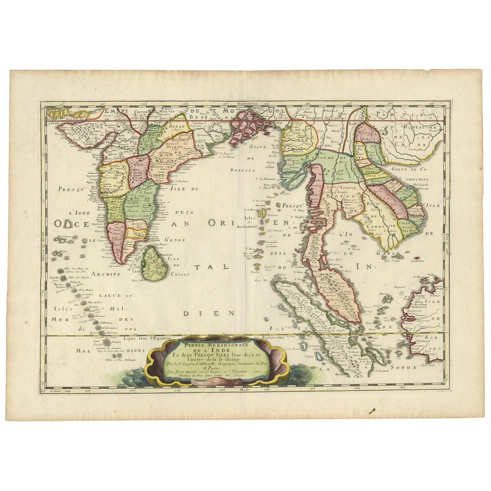
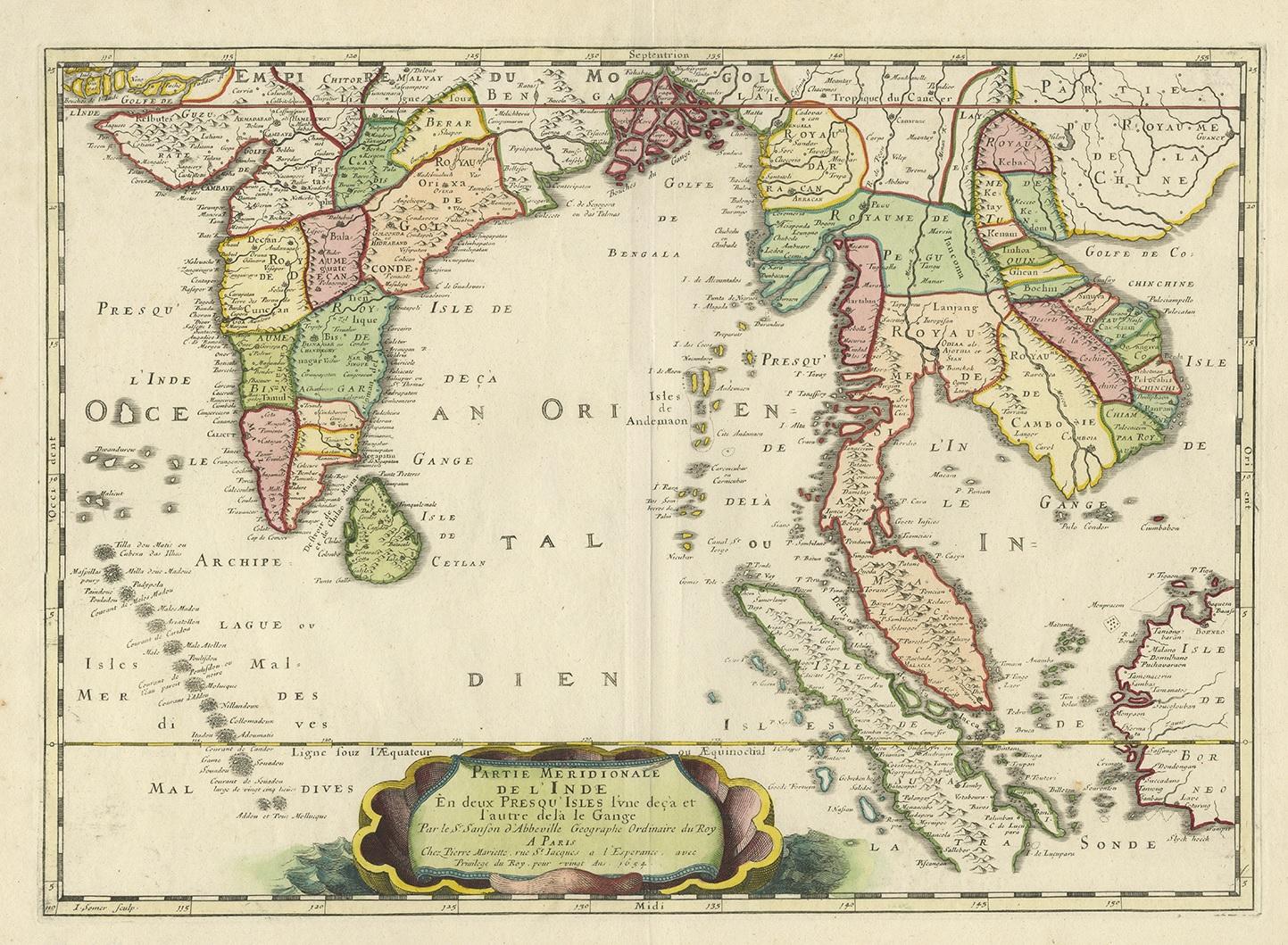
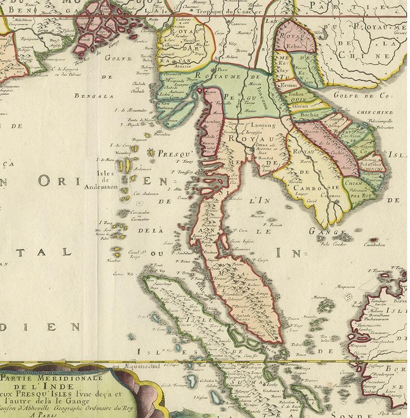
Antique Map of India and Southeast Asia by Sanson '1654'

€ 1 095

One of a kind: this is the sheet in the photographs. Ships from Langweer, the Netherlands.

Date
1654
Sheet size
45 × 60.5 cm (17.7 × 23.8 in)
Condition
Good
Reference
BGJC-364

Condition

General age-related toning, blank verso. Please study images carefully.

About this sheet

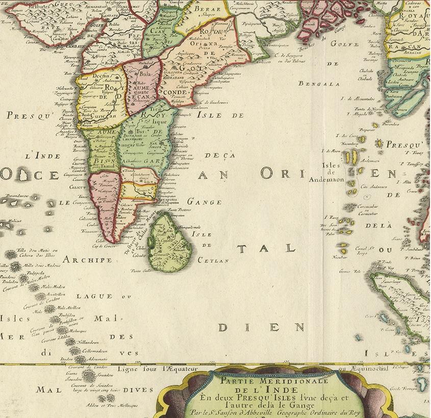
Antique map titled 'Partie Meridionale de l'Inde'. Early map of India and Southeast Asia. The map shows most of modern India, Bangladesh and Burma, the whole of Sri Lanka, Thailand, Malaysia, Laos, Cambodia, and Vietnam, and parts of Indonesia and China. First published in 1654 and issued separately, then included in Sanson's 'Atlas Les Cartes Générales de toutes parties du Monde', first issued in 1658.

More from India & Ceylon

Ask about this sheet

Antique Map of India and Southeast Asia by Sanson '1654'
1654 · Ref. BGJC-364 · € 1 095
We reply by email, usually within one working day.