
Maps & PrintsBartele Gallery · Langweer
Home / Antique Maps / Asia / East Asia / China

China

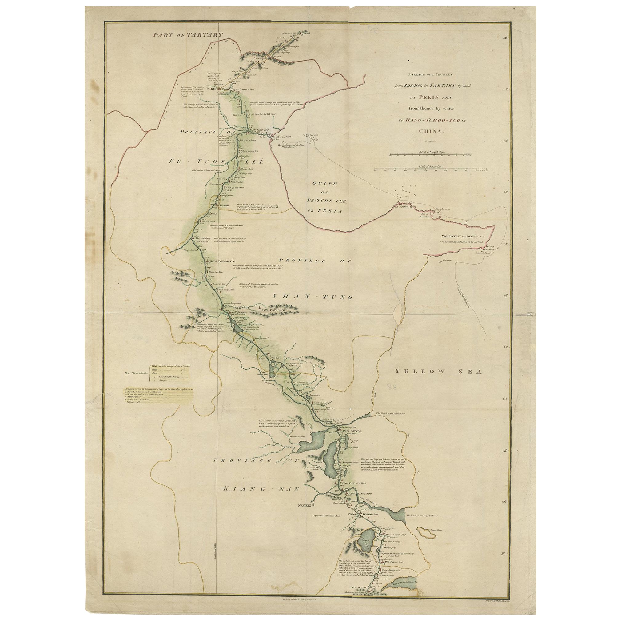
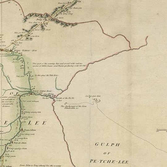
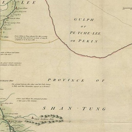
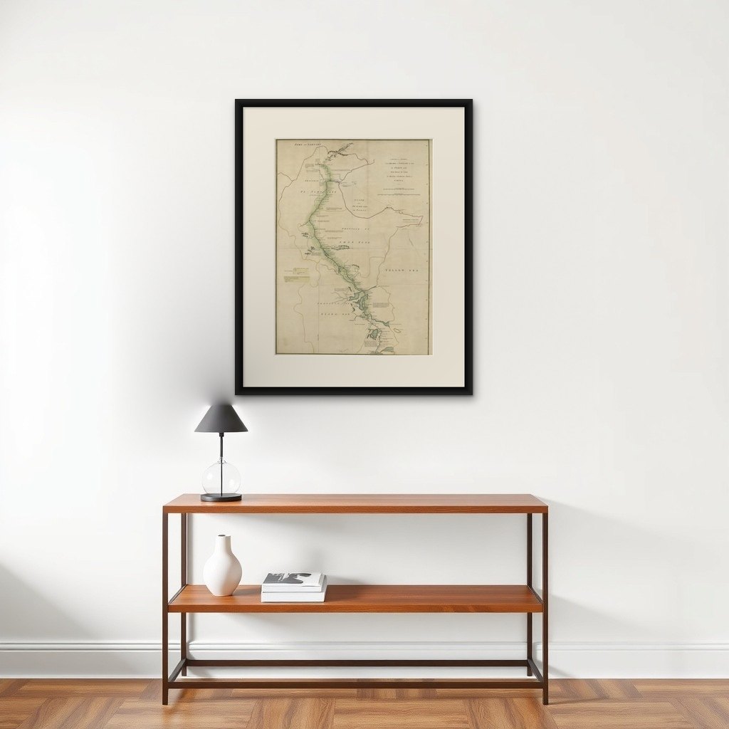
Antique Map of the Journey from Zhe-Hol in Tartary to Beijing and Hang-Tchoo Foo

€ 535

Original antique · The actual sheet photographed · Certificate of authenticity on request · Sold unframed · Worldwide shipping from € 15 (rates)

Sheet size
68 × 51 cm (26.8 × 20.1 in)
Condition
Good
Reference
BG-12096
What the condition grades mean
Excellent
Bright and clean, with no faults worth mentioning.
Very good
Only light signs of age, such as faint toning.
Good
Normal signs of age for a sheet of this period: toning, some foxing, small marks or neat old repairs.
Fair
Clear faults such as staining, tears or repairs, priced to match.

Every fault we see is written in the condition note, and the whole sheet is shown uncropped in the photos.

Condition

Minor losses. Minor structural damages. Minor fading. General age-related toning. Some defects professionally restored. Please review the images for further condition details.
About this sheet

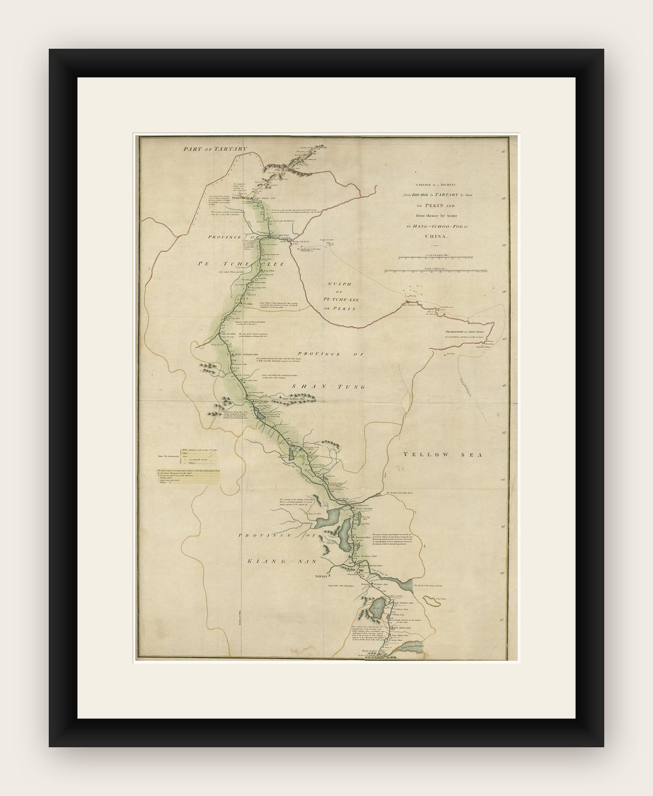
Antique map of China titled 'A Sketch of a Journey from Zhe-Hol in Tartary by land to Pekin and from thence by water to Hang-Tchoo-Foo in China'. Detailed map showing the route taken from Zhe-Hol in Tartary to Beijing and then on to Hang-Tchoo Foo. The map details George Macartney's Embassy to China, the first British embassy to that country, undertaken between 1792 and 1794. During the second half of the 18th century the British were eager to open up further trade with the Chinese Empire. Since 1757, international trade had been restricted to the port of Canton in southern China. In 1792, Prime Minister William Pitt the Younger, dispatched George Macartney, an Anglo-Irish diplomat, on a Mission to the court of the Emperor Qianlong in Beijing in an effort to gain trade concessions.

The map shows how Macartney had gone to the summer palace at Chengde (Zhe-Hol on the map), north of Beijing, to meet the Emperor. He returned to Beijing overland, before traveling south to Hangzhou (Hang-Tchoo Foo) on the Yangtze River delta via the 1000-mile Great Canal of China. Diplomatically, the Mission was a complete failure, as the Emperor proved entirely unwilling to consider trade concessions, however, the trip yielded Europeans valuable new information on China's geography and social customs.

This map originates from 'An Authentic Account of an Embassy from the King of Great Britain to the Emperor of China' by George L. Staunton.

More from China

Ask about this sheet

Antique Map of the Journey from Zhe-Hol in Tartary to Beijing and Hang-Tchoo Foo
Ref. BG-12096 · € 535
We reply by email, usually within one working day.

Your favorites

Saved in this browser. Email the list to yourself to keep it on any device.

We use your email to send this list and, only if you tick the box and confirm, for occasional new arrivals. Every email has an unsubscribe link. Bartele Gallery, the Netherlands.