Antique Maps
1,367 original sheets
Europe 3023Asia 1110Africa 236America 548Australia & Oceania 159World Maps 111Sea Charts 209Celestial Maps 22
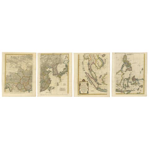
Set of Four Original Antique Maps of Asia by Bolton & Seale, circa 1770
1770 · € 7 850
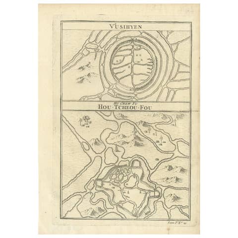
Antique Map of Wuxi and Huzhou by Prévost '1746'
1746 · € 100
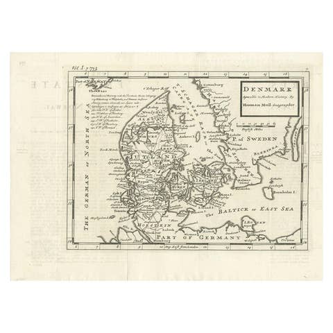
Antique Map of Denmark by Moll 'circa 1730'
1730 · € 350
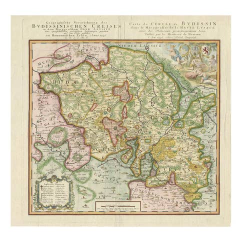
Antique Map of Oberlausitz by Homann Erben, '1746'
1746 · € 413
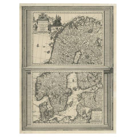
Antique Map of Scandinavia by Van der Aa 'circa 1710'
1710 · € 520
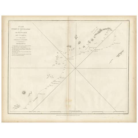
Antique Map of Part of the Korean Archipelago, 1798
1798 · € 550
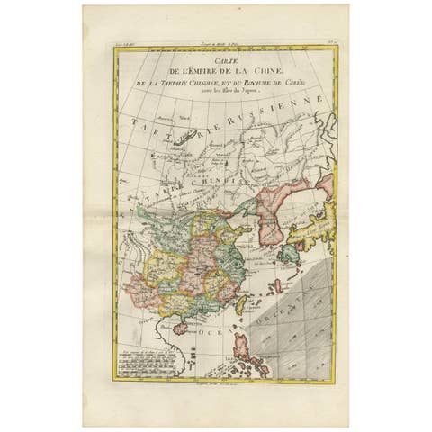
Antique Map of China, Korea, Japan and the Northern Philippines, circa 1780
1780 · € 330
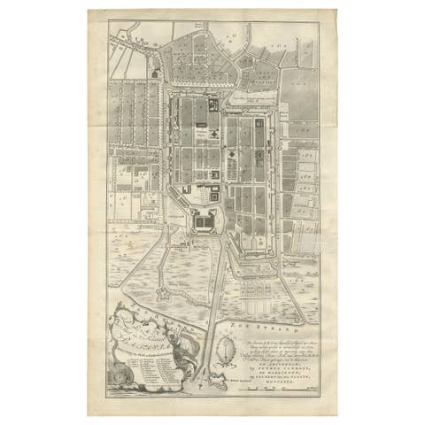
Antique Plan of Batavia by Van Krevelt, circa 1780
1780 · € 2 500
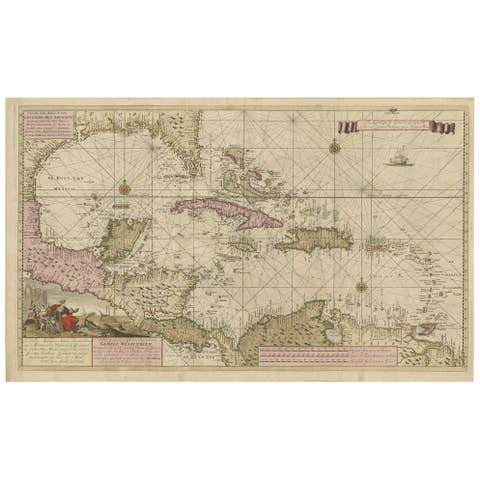
Engraving of a Map of Florida, the Gulf Coast, Caribbean & Central America, 1728
1728 · € 13 700
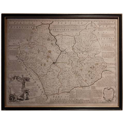
Antique Map of Leicester and Rutland by Tinney & Sayer, 'circa 1756'
1756 · € 800
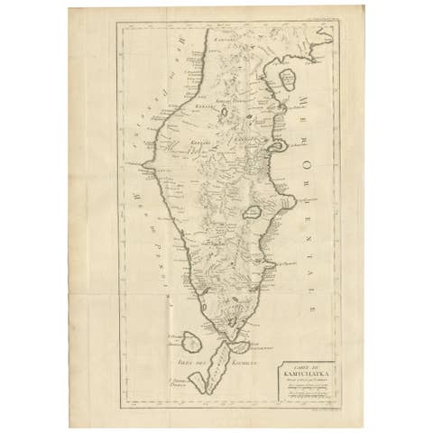
Antique Map of Kamtchatka by Didot, '1759'
1759 · € 300
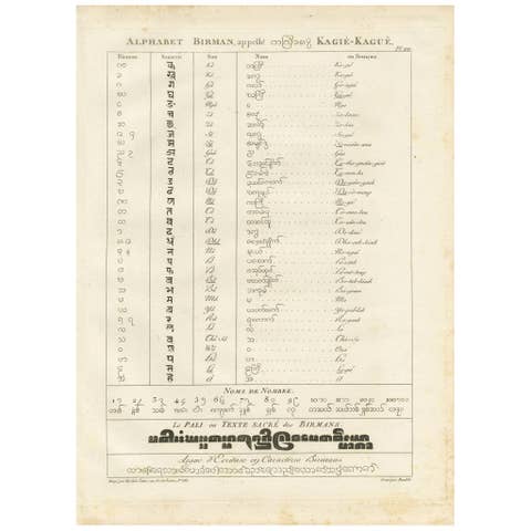
Burmese Alphabet Chart – Antique Linguistic Print from Symes' 1800 Ava Mission
1800 · € 190
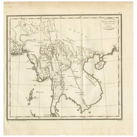
Antique Map of the Burmese Empire by Symes, '1800'
1800 · € 175
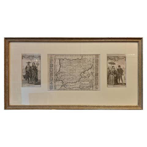
Framed Set of 2 Costume Prints and a Map of Spain and Portugal, circa 1720
1720 · € 430
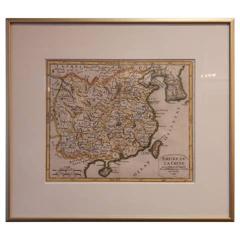
Antique Map of China Including Korea and Taiwan by Vaugondy, 1749
1749 · € 500
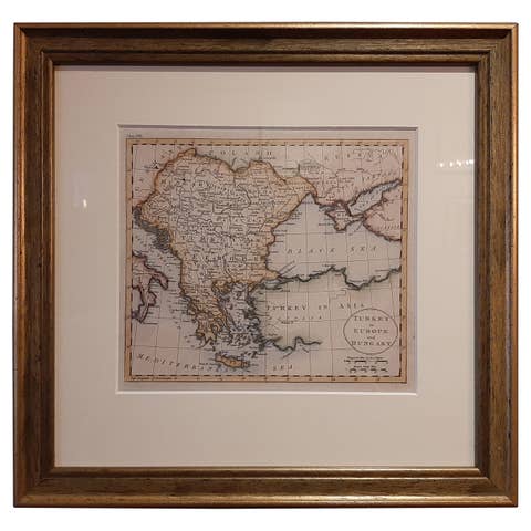
Antique Map of Turkey in Europe by J. Russell, Framed, Circa 1795
1795 · € 292

Greenland & the North Pole – Antique Northern Hemisphere Map by Tirion, c.1754
1754 · € 750
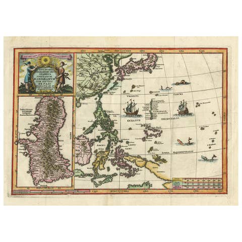
Antique Map of the Philippines and Guam by Scherer, circa 1702
1702 · € 1 800
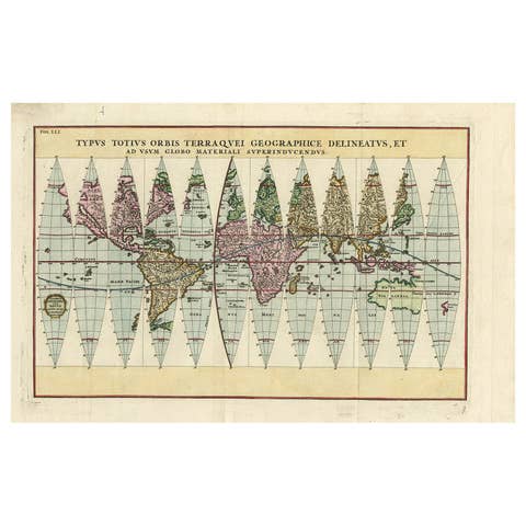
Antique Map of the World in 12 Globe Gores by Scherer, 'circa 1702'
1702 · € 2 000
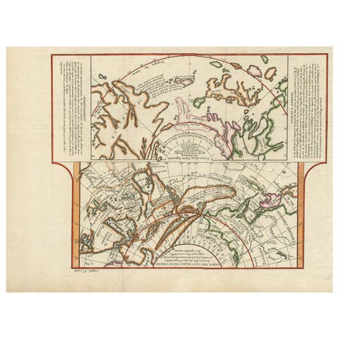
Antique Map of the West Coast of North America & North East Coast of Asia '1772'
1772 · € 650
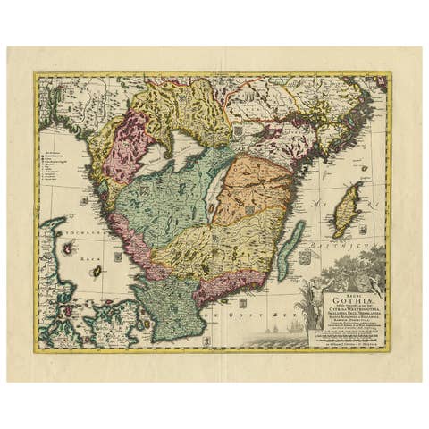
Antique Map of Southern Sweden by Covens & Mortier, 'circa 1720'
1720 · € 950
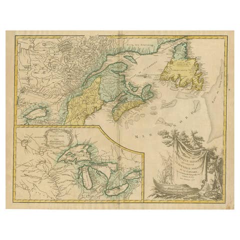
Antique Map of New England and Part of Canada by Vaugondy 'circa 1755'
1755 · € 1 750
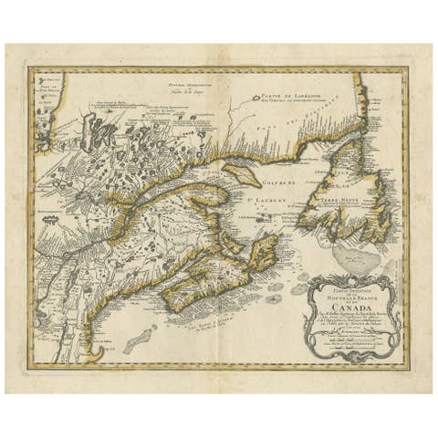
Antique Map of New England and Eastern Canada by Homann Heirs, circa 1755
1755 · € 2 000
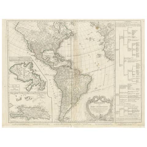
Antique Map of the Americas and West Indies by Robert de Vaugondy, 1778
1778 · € 1 500
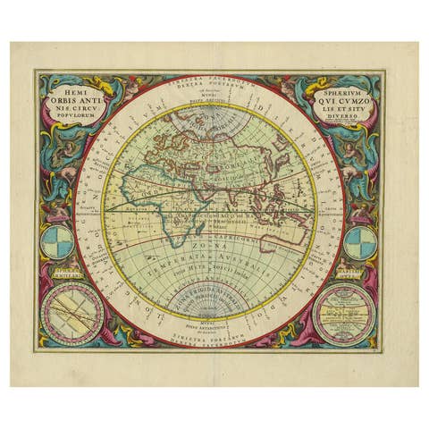
Antique Map of the Eastern Hemisphere by Valk & Chenk '1708'
1708 · € 4 500
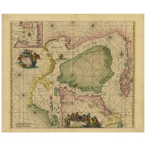
Greenland & North America – Antique Sea Chart by Frederick de Wit, 1745
1745 · € 3 500
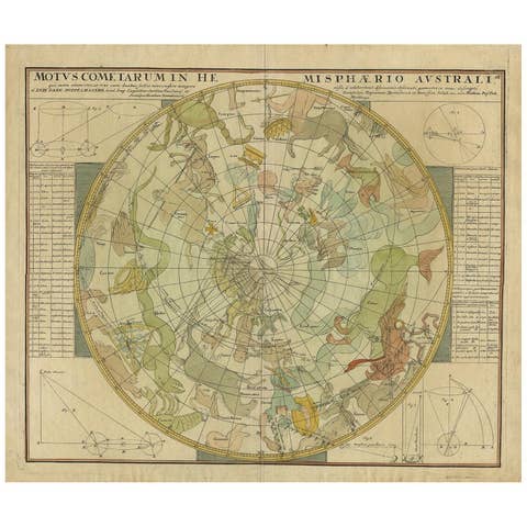
Antique Chart of the Passage of Comets in the Southern Sky, circa 1740
1740 · € 2 500
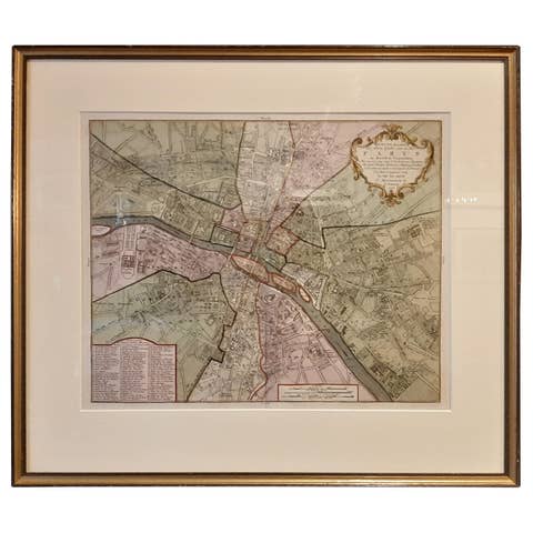
Antique Map of the City of Paris by Tirion '1763'
1763 · € 1 200
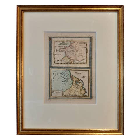
Antique Miniature Map of France and the Low Countries by Mallet, circa 1719
1719 · € 175
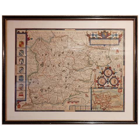
Antique Map of Essex by Overton, circa 1710
1710 · € 950
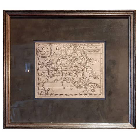
Antique Map of Asia 'in Frame, circa 1739'
1739 · € 800

Antique Map and Views of Batavia by Homann Heirs, '1733'
1733 · € 2 500

Antique Map of the Malacca and Bangka Strait by De Mannevillette '1775'
1775 · € 1 200
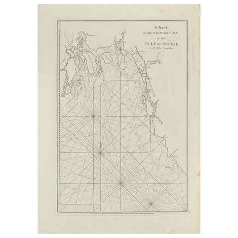
Antique Map of the Bay of Bengal Printed for Robert Sayer, 1787
1787 · € 500
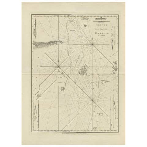
Antique Map of the Gaspar Strait by Huddart, '1788'
1788 · € 950
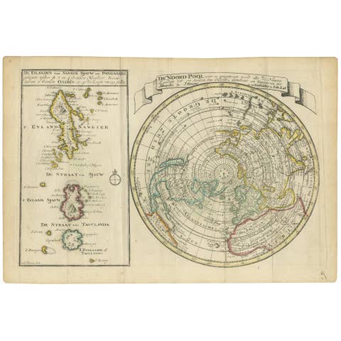
Antique Map of the North Pole & Sangihe Archipelago by Keizer & de Lat, 1788
1788 · € 500
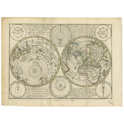
Antique Map of the World in Hemispheres by Keizer & de Lat, 1788
1788 · € 500
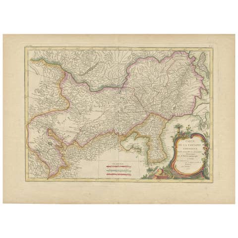
Antique Map of Korea and Southern China by Bonne '1771'
1771 · € 575
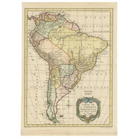
Antique Map of South America by De la Harpe '1780'
1780 · € 500
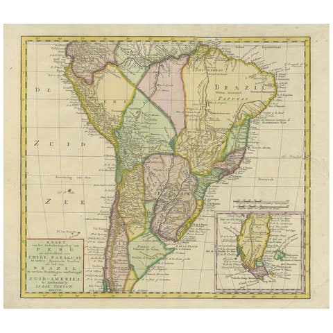
Antique Map of South America by Tirion 'circa 1765'
1765 · € 500

Original Hand-Colored Antique Map of Africa by Elwe '1792'
1792 · € 1 000
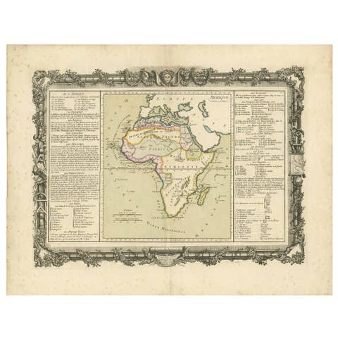
Antique Map of Africa by Claude Buy de Mornas '1761'
1761 · € 500

Antique Map of America with California as an Island by Homann '1710'
1710 · € 2 500
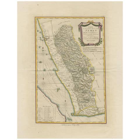
Antique Map of Yemen by Schraembl, 1789
1789 · € 900
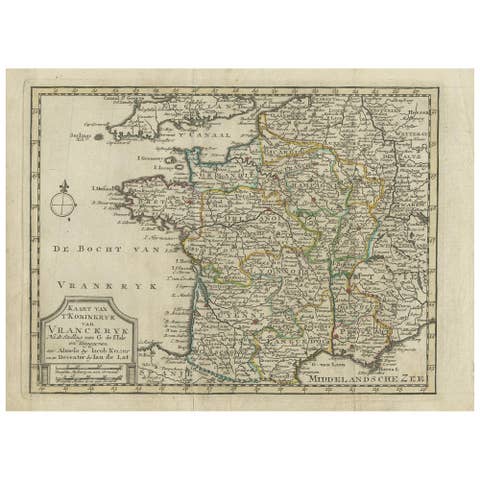
Antique Map of the Kingdom of France by Keizer & de Lat, 1788
1788 · € 350
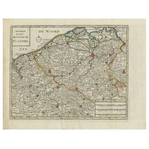
Antique Map of Flanders by Keizer & de Lat, 1788
1788 · € 350

Antique Map of the German Empire by Keizer & de Lat, 1788
1788 · € 350
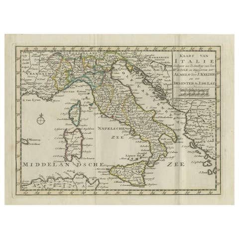
Antique Map of Italy by Keizer & de Lat, 1788
1788 · € 350