Maps & PrintsBartele Gallery · Langweer
Home / Antique Maps / Europe / South-East Europe

South-East Europe · 18th century

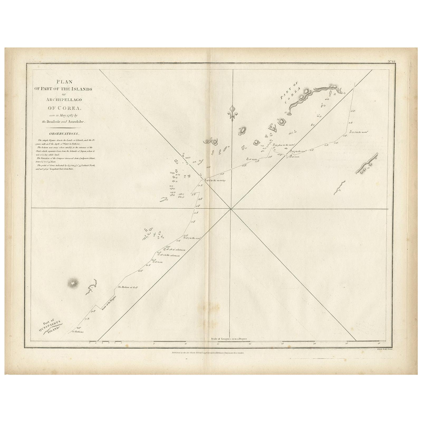
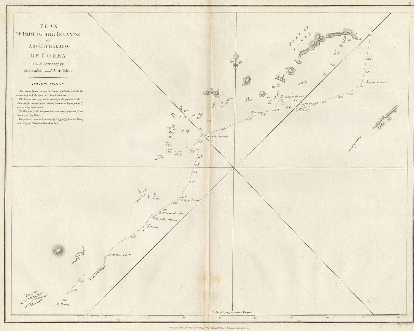
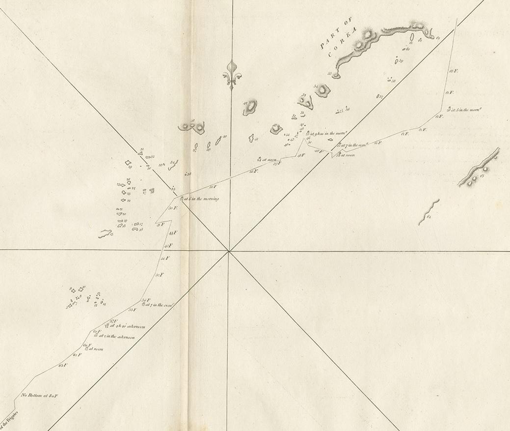
Antique Map of Part of the Korean Archipelago, 1798

€ 550

One of a kind: this is the sheet in the photographs. Ships from Langweer, the Netherlands.

Date
1798
Sheet size
44.5 × 56 cm (17.5 × 22.0 in)
Condition
Good
Reference
BG-12589

Condition

General age-related toning. Original folding line, minor wear. Please study images carefully.
About this sheet

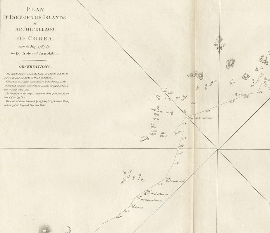
Antique map titled 'Plan of Part of the Islands or Archipellago of Corea'. This map depicts part of the Korean Archipelago and originates from Charts and Plates to La Pérouse's Voyage' by Jean Francois de Galaup La Perouse. Printed in London by G.G. & J. Robinson between 1798 and 1799.

More from South-East Europe

Ask about this sheet

Antique Map of Part of the Korean Archipelago, 1798
1798 · Ref. BG-12589 · € 550
We reply by email, usually within one working day.