Maps & PrintsBartele Gallery · Langweer
Home / Antique Maps / World Maps

World Maps · 18th century

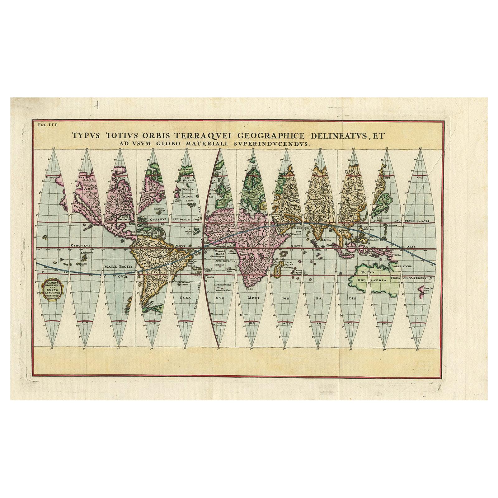
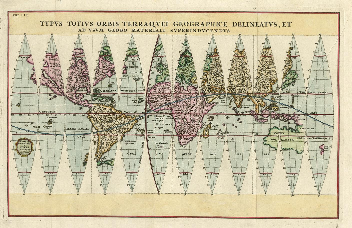
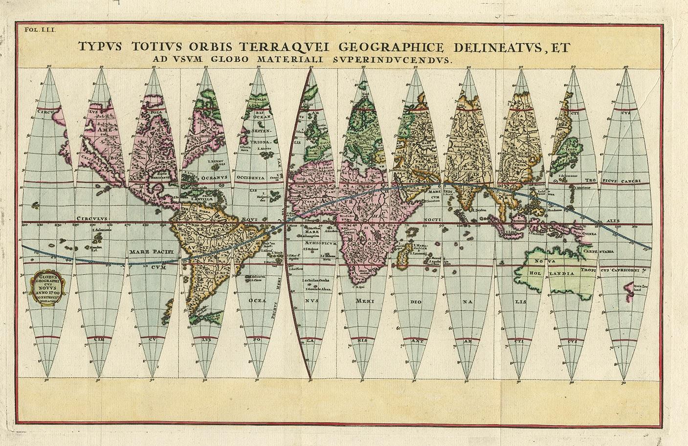
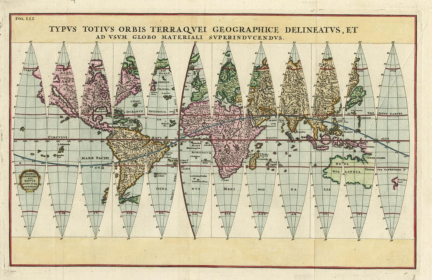
Antique Map of the World in 12 Globe Gores by Scherer, 'circa 1702'

€ 2 000

One of a kind: this is the sheet in the photographs. Ships from Langweer, the Netherlands.

Date
1702
Sheet size
27 × 41.5 cm (10.6 × 16.3 in)
Condition
Good
Reference
PCT-58788

Condition

Good, given age. A few tiny unobtrusive spots. Light diagonal crease on the right. Original folds as issued. General age-related toning and/or occasional minor defects from handling. Please study image carefully.
About this sheet

Antique map titled 'Typus Totius Orbis Terraquei Geographice Delineatus, Et Ad Usum Globo Materiali Superinducendus'. Beautiful example of Scherer's map of the World, configured in 12 globe gores. California is shown as an island. Fascinating Northwest Passage treatment. Excellent detail in Australia and a nice bit of New Zealand shown, along with a curious oversized Tierra Del Fuego. Published by H. Scherer, circa 1702.

More from World Maps

Ask about this sheet

Antique Map of the World in 12 Globe Gores by Scherer, 'circa 1702'
1702 · Ref. PCT-58788 · € 2 000
We reply by email, usually within one working day.