Maps & PrintsBartele Gallery · Langweer
Home / Antique Maps / Asia / South Asia / India & Ceylon

India & Ceylon · 18th century

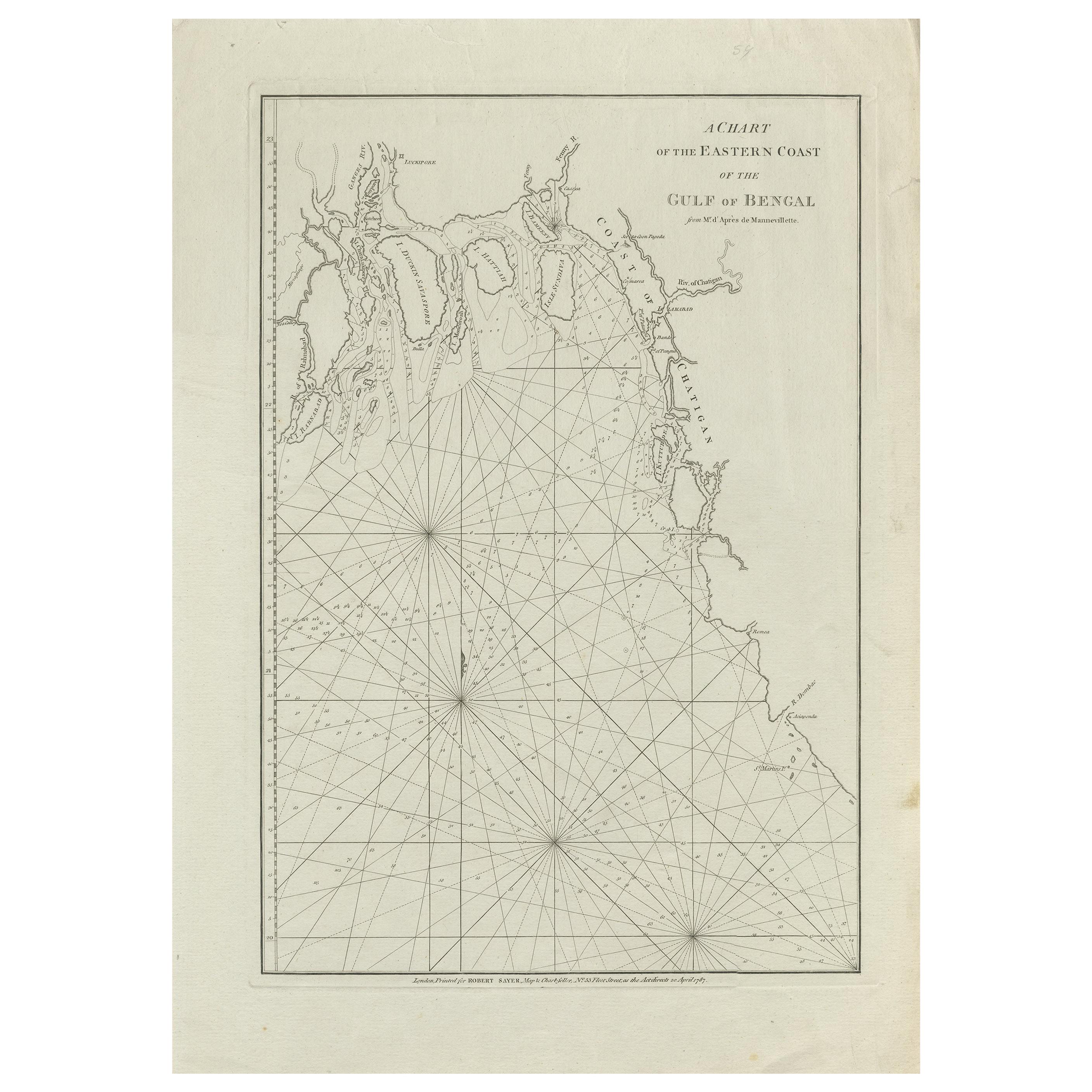
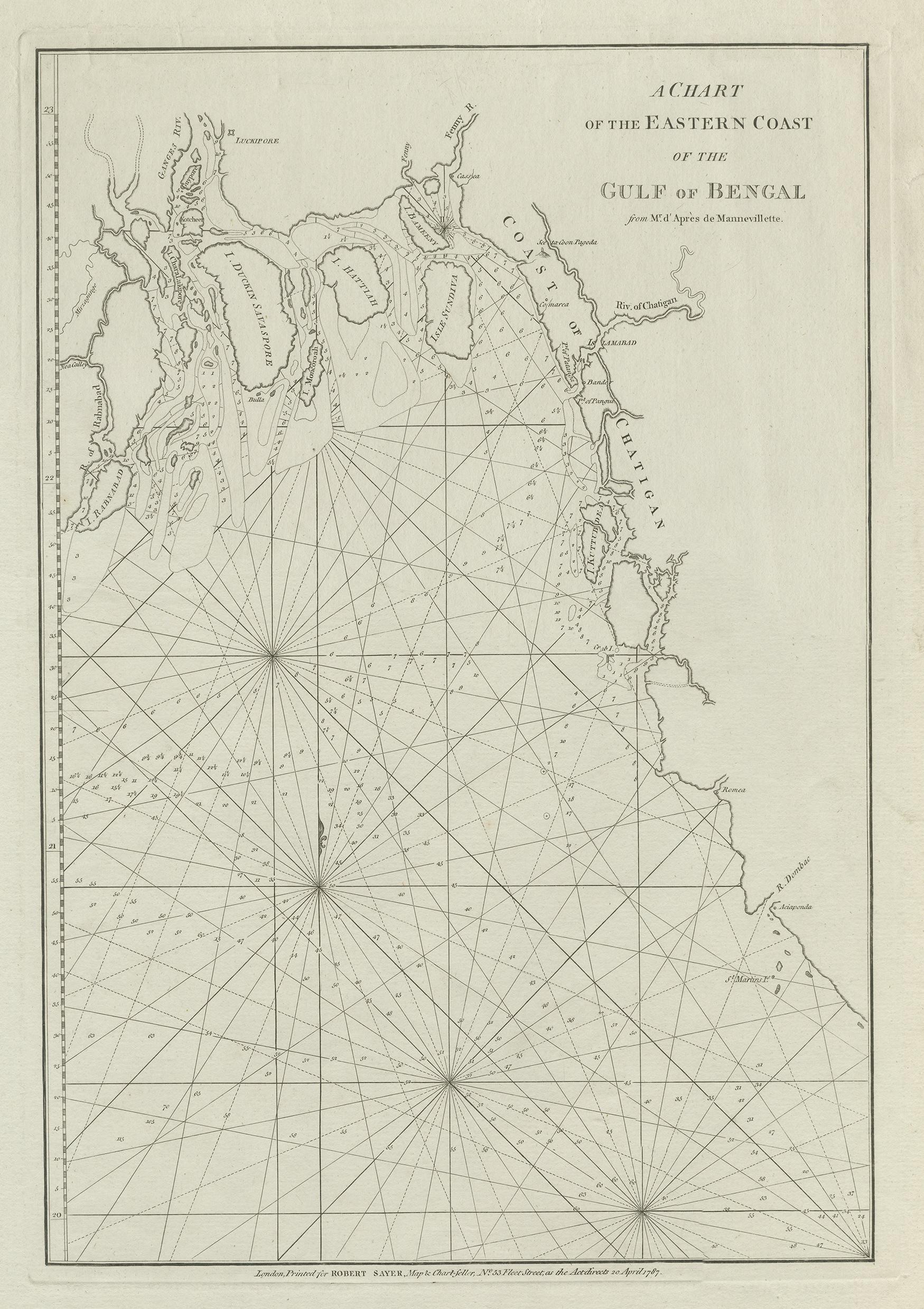
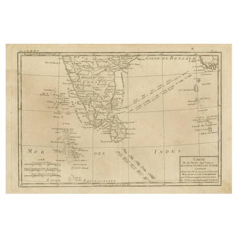
Antique Map of the Bay of Bengal Printed for Robert Sayer, 1787

€ 500

One of a kind: this is the sheet in the photographs. Ships from Langweer, the Netherlands.

Date
1787
Sheet size
57.5 × 40.5 cm (22.6 × 15.9 in)
Condition
Good
Reference
BG-12766-2

Condition

General age-related toning. Large vertical crease. Minor wear, blank verso. Please study image carefully.

About this sheet

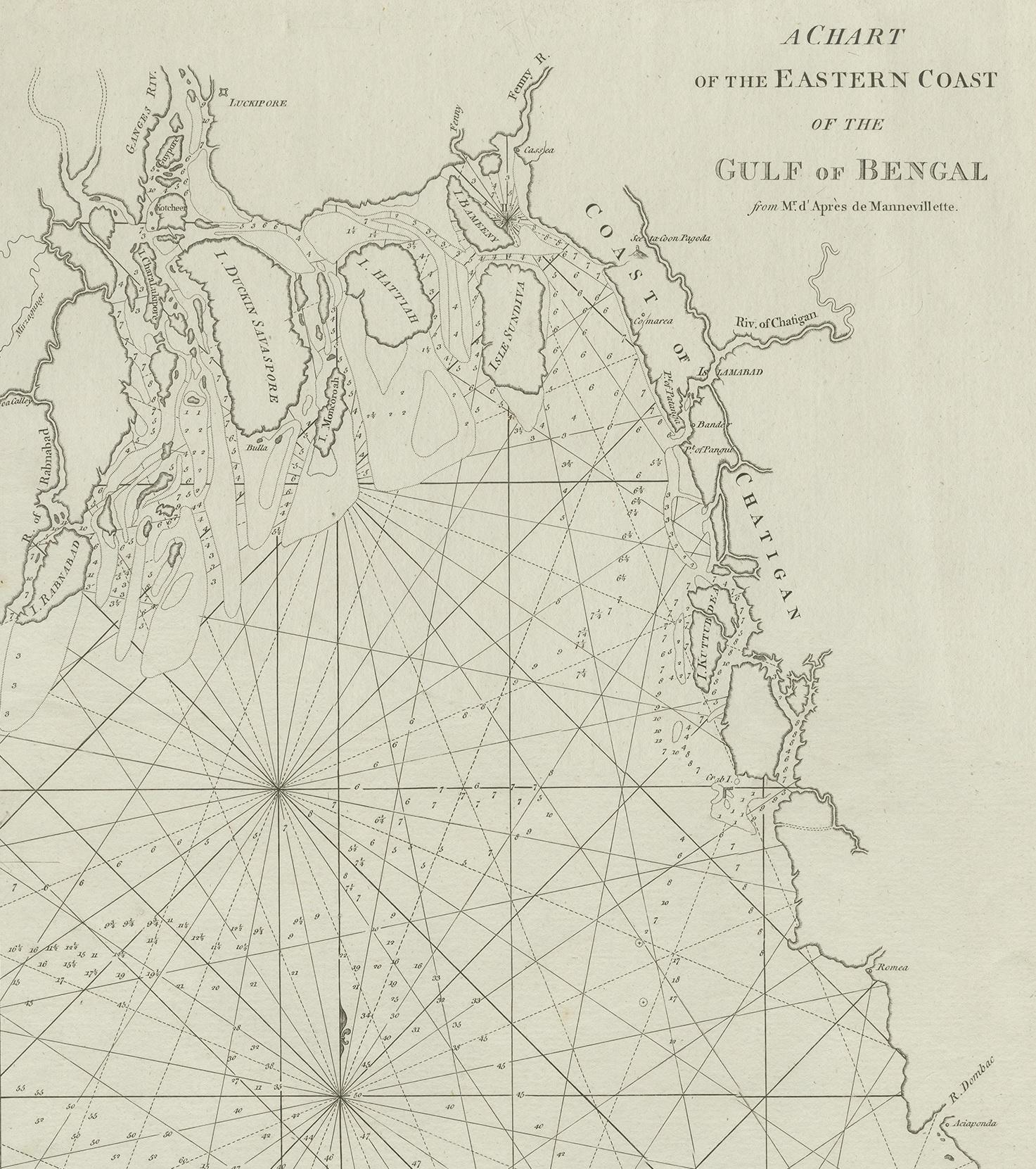
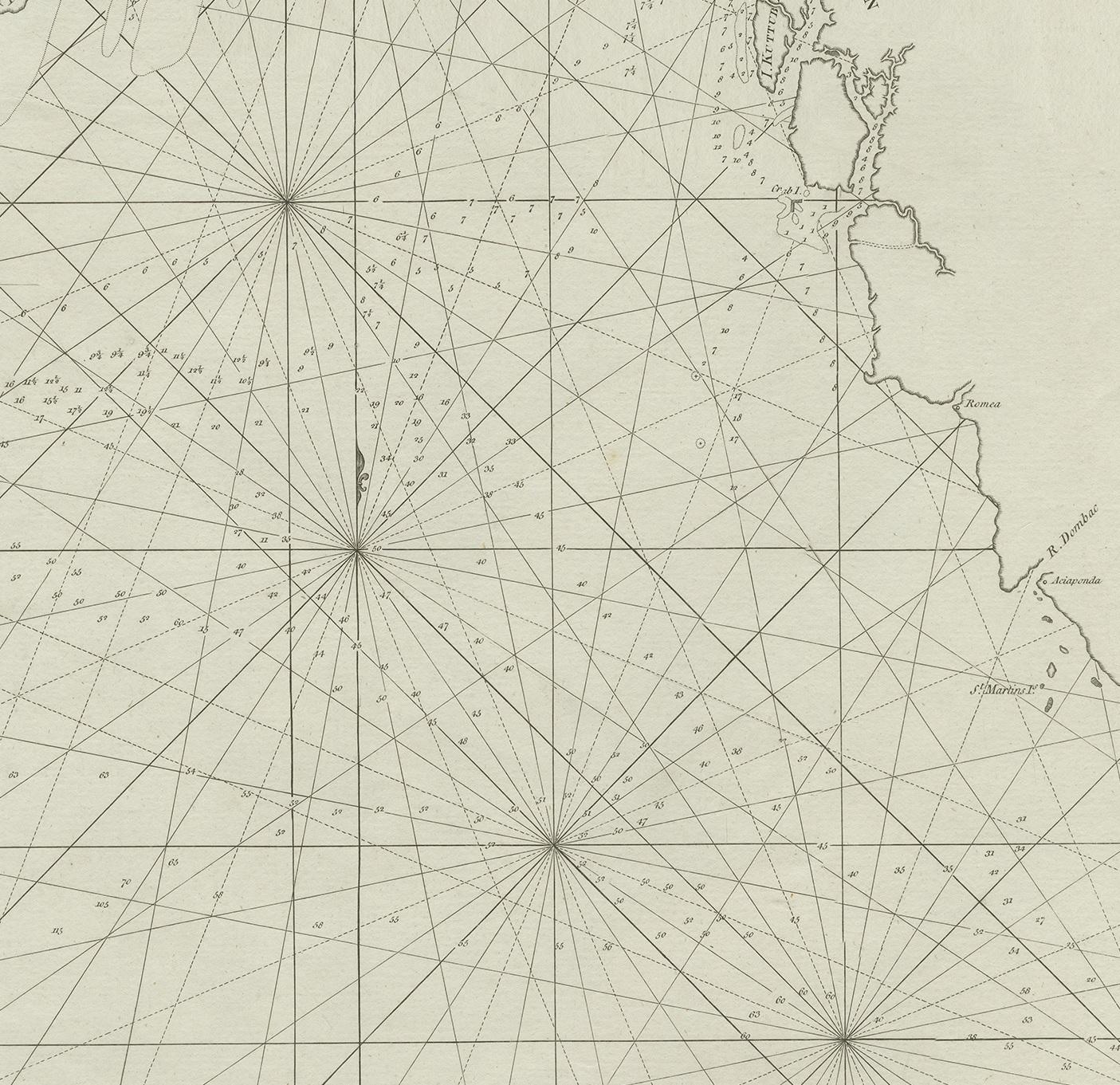
Antique map titled 'A Chart of the Eastern Coast of the Gulf of Bengal'. Original antique map of the Bay of Bengal. The Bay of Bengal is the northeastern part of the Indian Ocean, bounded on the west and northwest by India, on the north by Bangladesh, and on the east by Myanmar and the Andaman and Nicobar Islands of India. Printed for Robert Sayer, 1787.

More from India & Ceylon

Ask about this sheet

Antique Map of the Bay of Bengal Printed for Robert Sayer, 1787
1787 · Ref. BG-12766-2 · € 500
We reply by email, usually within one working day.