Maps & PrintsBartele Gallery · Langweer
Home / Antique Maps / Asia / South-East Asia

South-East Asia · 18th century

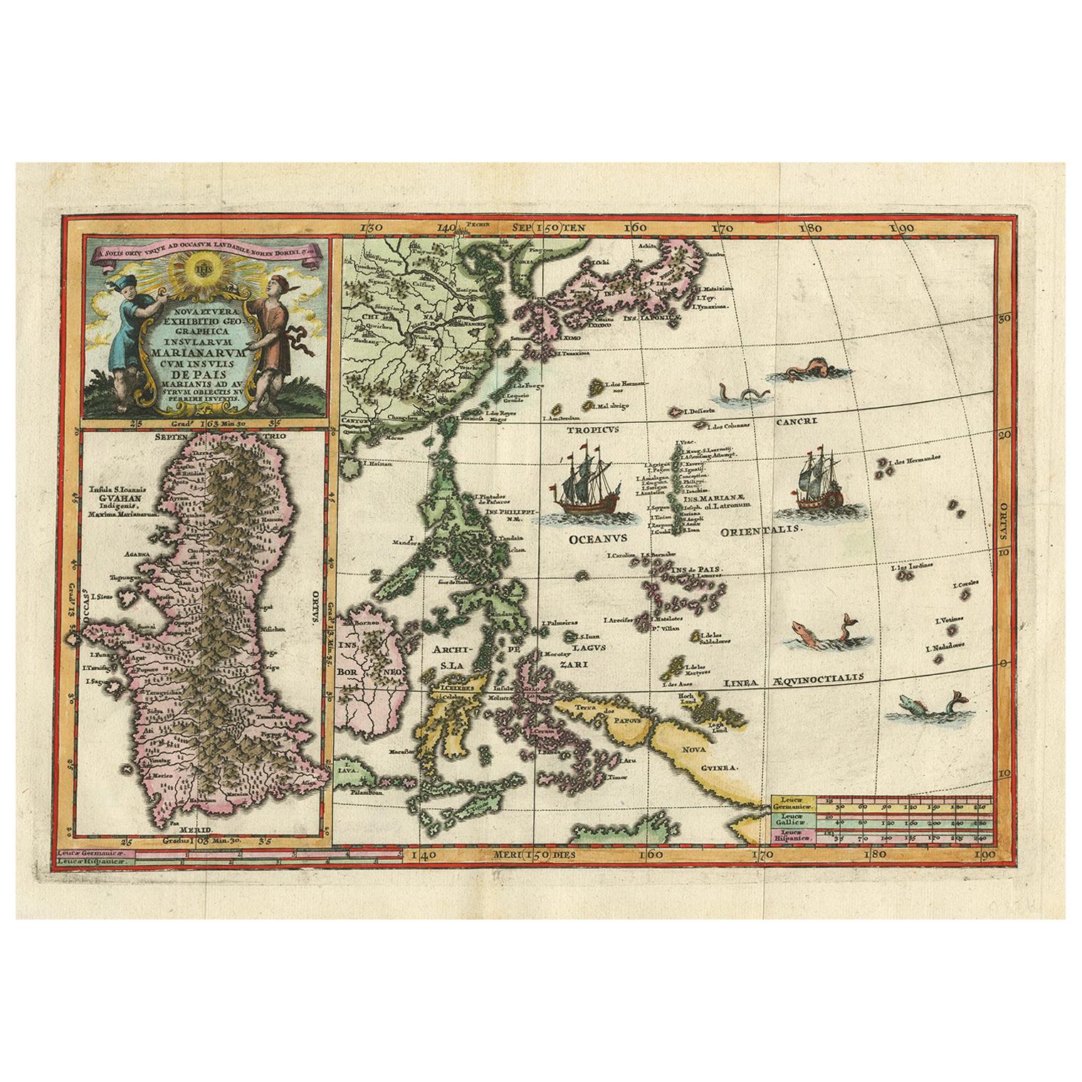
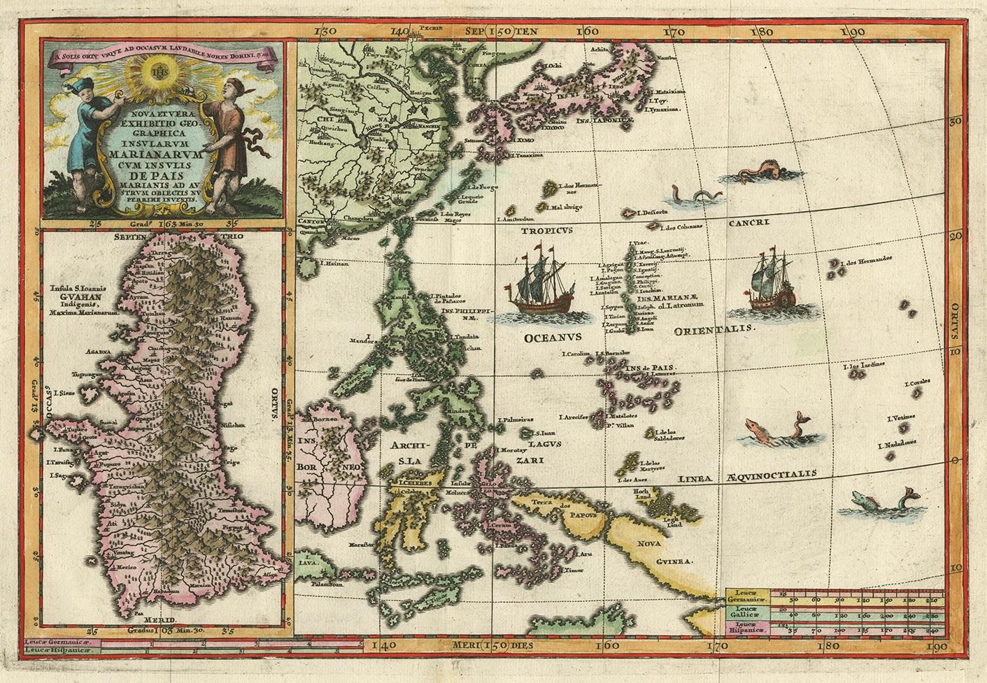
Antique Map of the Philippines and Guam by Scherer, circa 1702

€ 1 800

One of a kind: this is the sheet in the photographs. Ships from Langweer, the Netherlands.

Date
1702
Sheet size
27.3 × 39.8 cm (10.7 × 15.7 in)
Condition
Good
Reference
PCT-59203

Condition

Good, given age. Diagonal crease upper left. Original folds as issued. General age-related toning and/or occasional minor defects from handling. Please study images carefully.
About this sheet

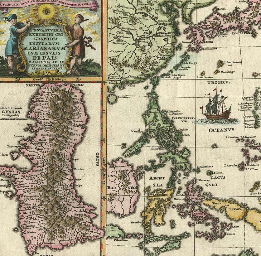
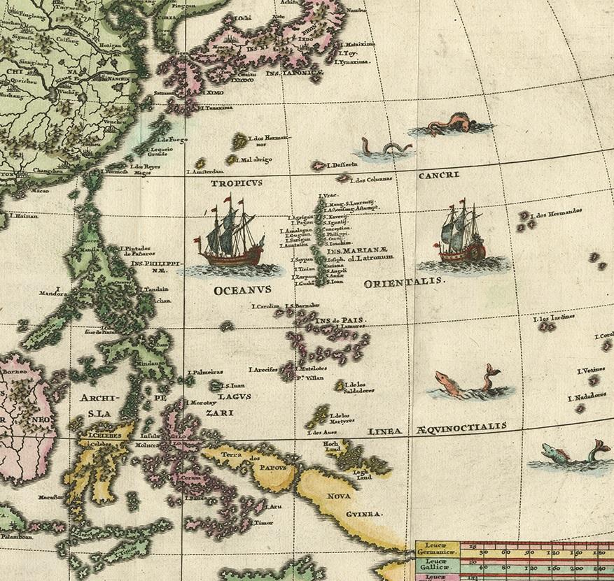
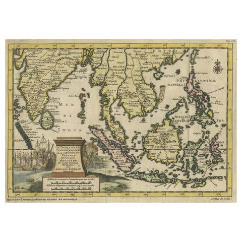
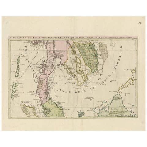
Antique map titled 'Nova et Vera Exhibitio Geographica Insularum Marianarum (..)'. Rare and very attractive map of the Mariana Islands, Philippines, Korea, Japan and Indonesia with an inset of the island Guam. Published by H. Scherer, circa 1702.

More from South-East Asia

Ask about this sheet

Antique Map of the Philippines and Guam by Scherer, circa 1702
1702 · Ref. PCT-59203 · € 1 800
We reply by email, usually within one working day.