Maps & PrintsBartele Gallery · Langweer
Home / Antique Maps / Asia / Asia as a Whole

Asia as a Whole · 18th century

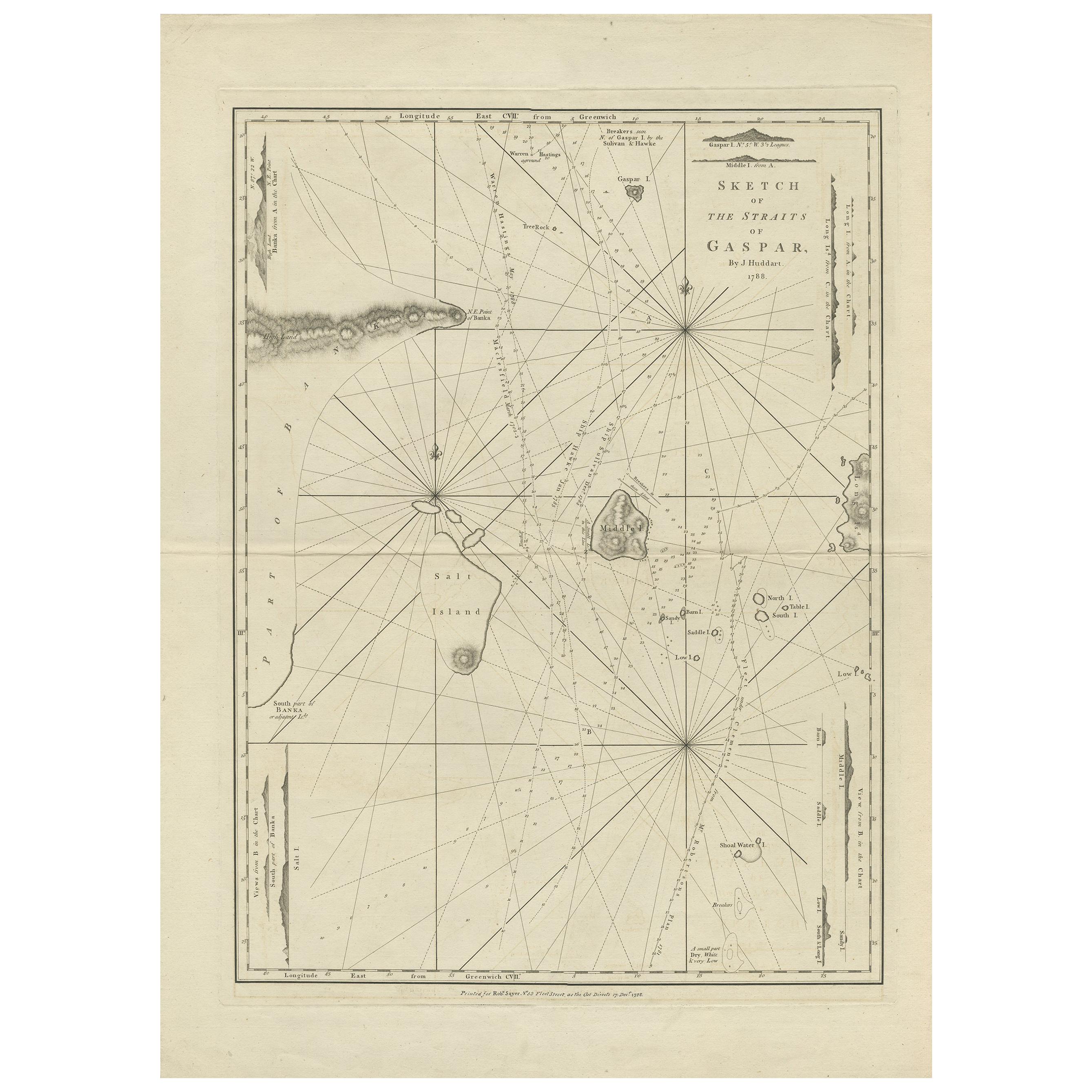
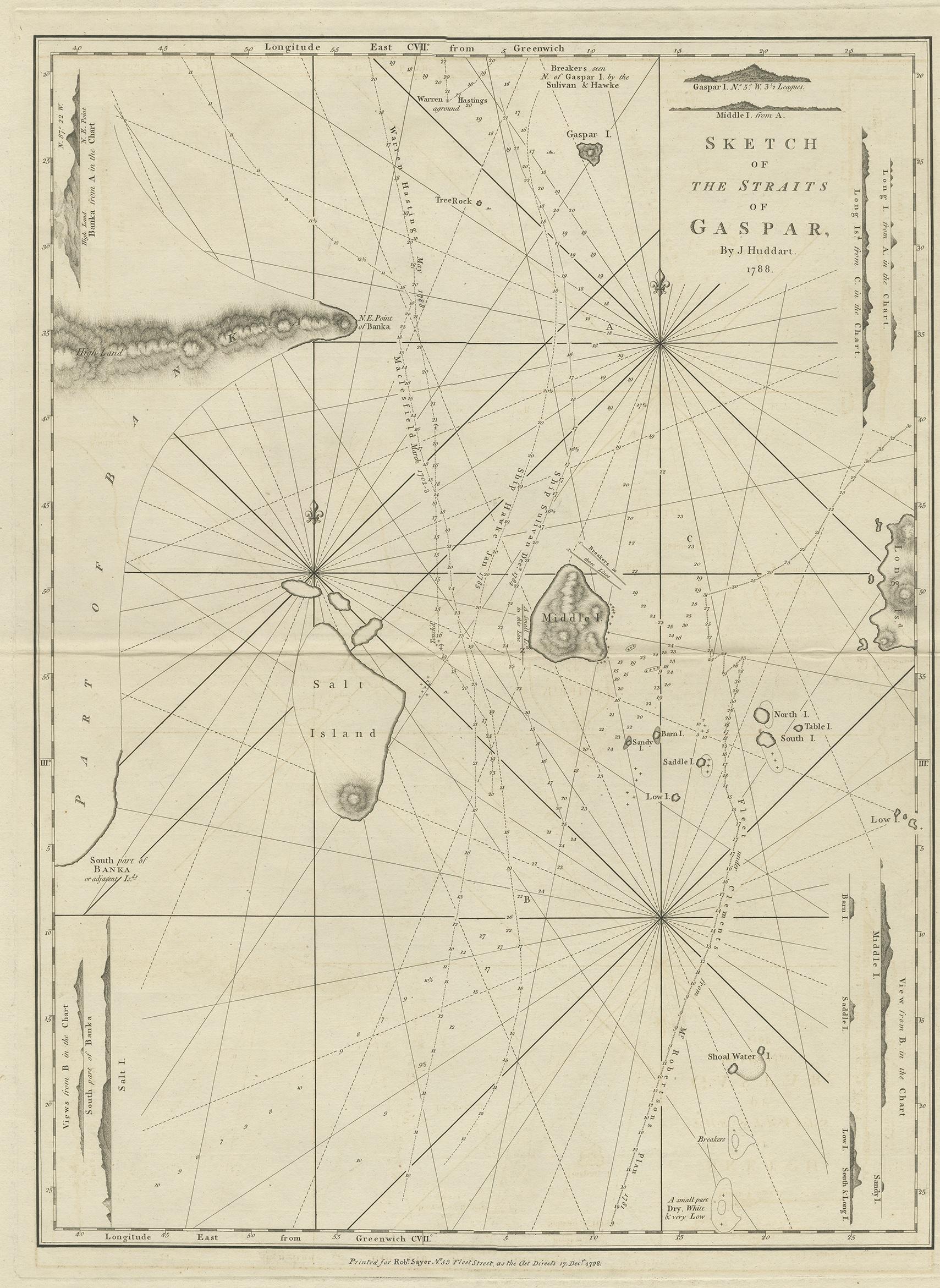
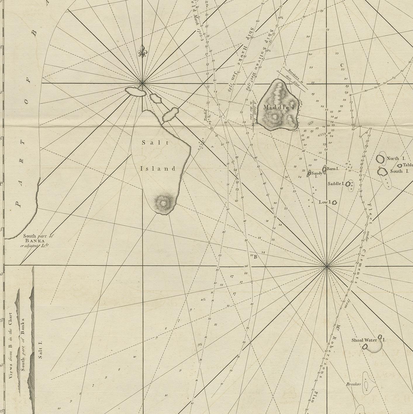
Antique Map of the Gaspar Strait by Huddart, '1788'

€ 950

One of a kind: this is the sheet in the photographs. Ships from Langweer, the Netherlands.

Date
1788
Sheet size
78 × 56.5 cm (30.7 × 22.2 in)
Condition
Good
Reference
BG-12764

Condition

Central horizontal fold as issued, minor offsetting and surface dirt, possibly erroneous manuscript ink annotation to lower edge that reads 'Printed for Robert Sayer (..)'. Minor wear, blank verso. Please study images carefully.
About this sheet

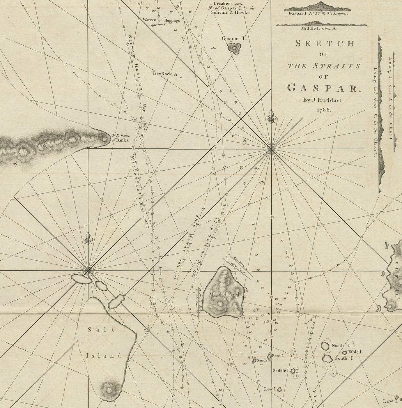
Antique map titled 'Sketch of the Straits of Gaspar'. Detailed sea chart of the Gaspar Strait, showing part of the Island of Banca on the east coast of Sumatra just to the south of Singapore. The Gaspar Strait is a strait separating the Indonesian islands Belitung and Bangka and connecting the Java Sea to the South China Sea. Also includes Salt Island, Middle Island and part of Long Island. Originates from 'East India Pilot' by Laurie & Whittle. Engraved by J. Huddart, 1788.

More from Asia as a Whole

Ask about this sheet

Antique Map of the Gaspar Strait by Huddart, '1788'
1788 · Ref. BG-12764 · € 950
We reply by email, usually within one working day.