Antique Map and Views of Batavia by Homann Heirs, '1733'
€ 2 500
One of a kind: this is the sheet in the photographs. Ships from Langweer, the Netherlands.
Date
1733
Sheet size
51 × 61 cm (20.1 × 24.0 in)
Condition
Good
Reference
BG-12723
Condition
General age-related toning. Original folding line, few worm holes outside image. Minor wear, blank verso. Please study images carefully.
About this sheet
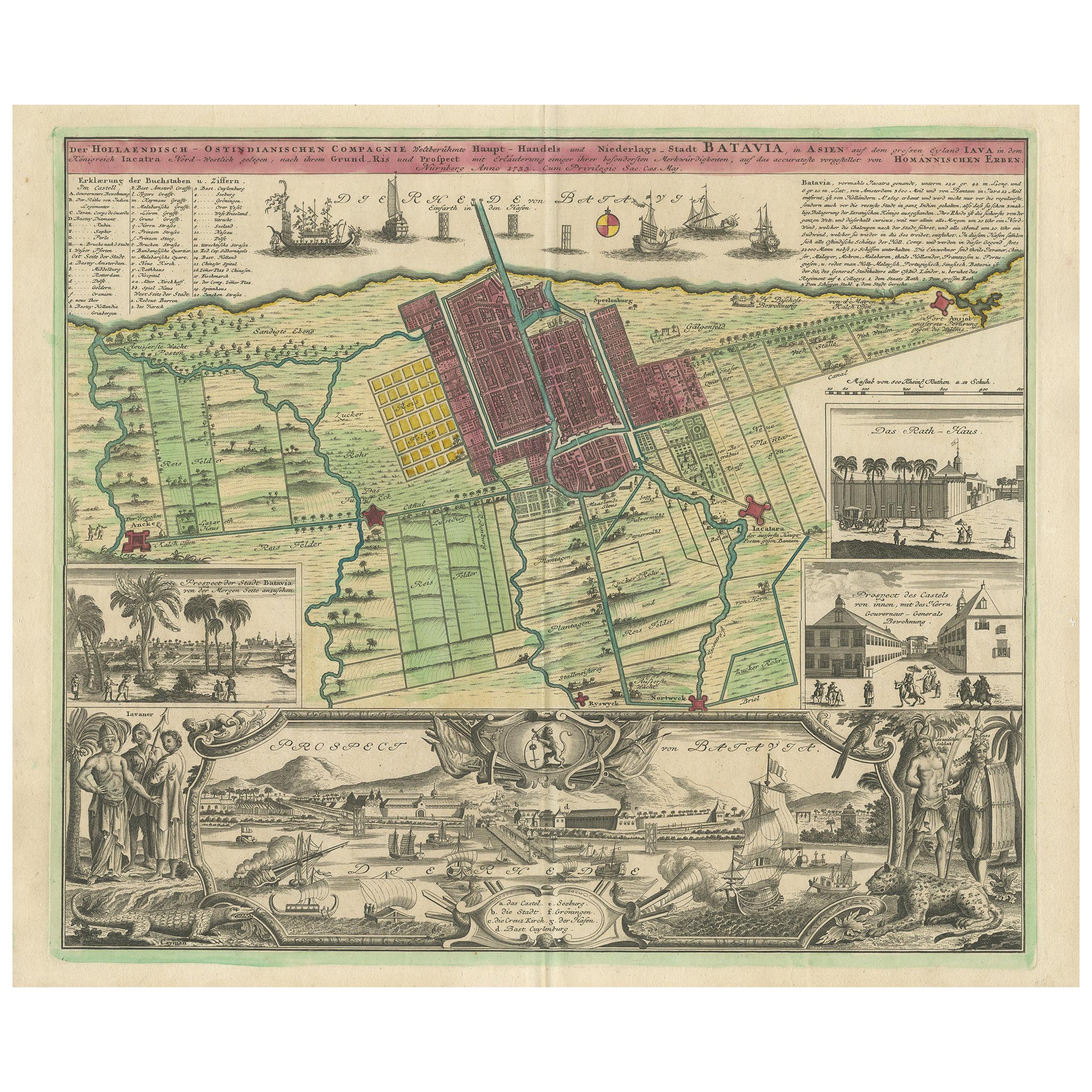
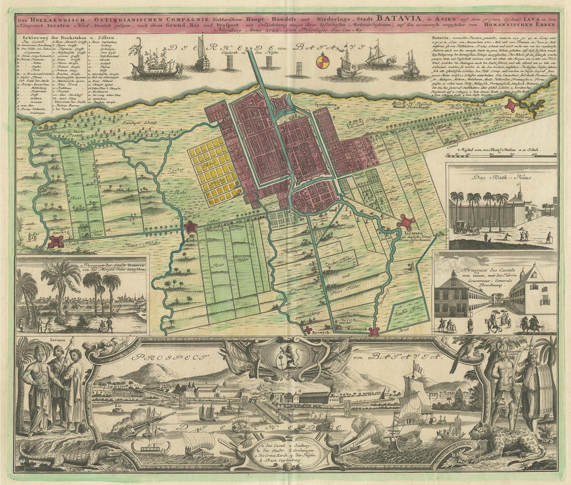
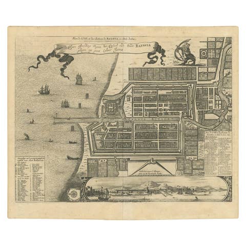
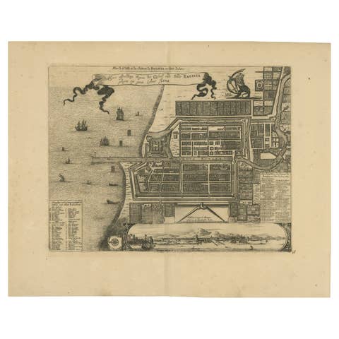
Antique map titled 'Der Hollaendisch-Ostindianischen Compagnie weltberuhmte Haupt-Handels und Niederlags-Stadt Batavia, in Asien auf dem grossen Eyland Iava in dem konigreich Iacatra nord-westlich gelegen, nach ihrem grund-ris und prospect mit erlauterung einiger ihrer besondersten merkwurdigkeiten / auf das accurateste vorgestellet von Homannischen Erben'.
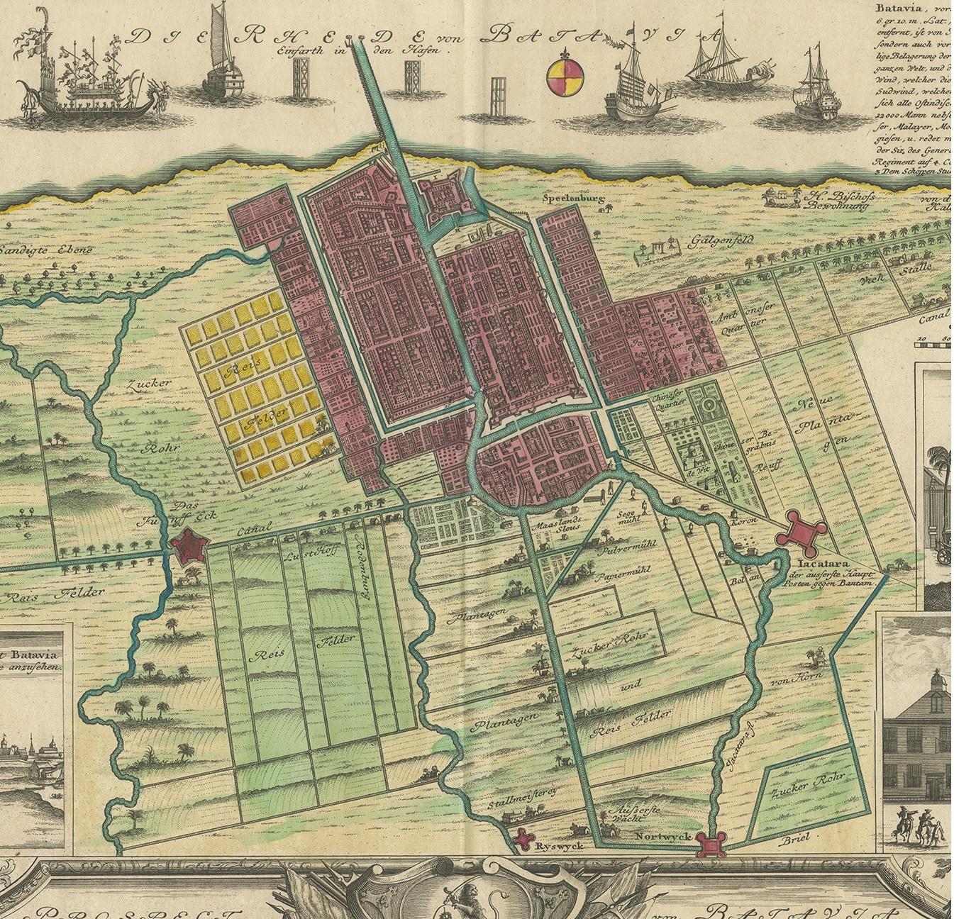
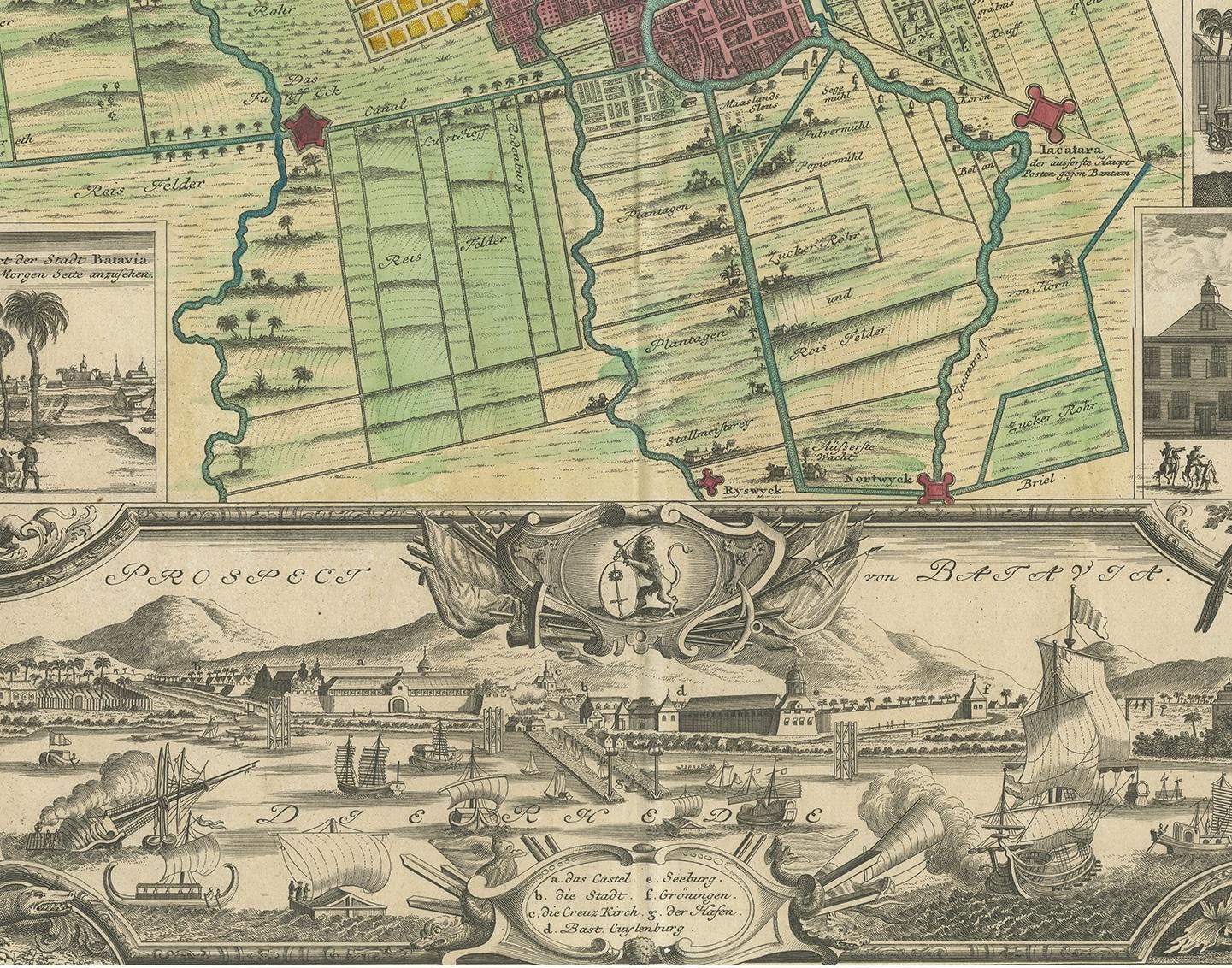
Beautiful plan and views of Batavia, Jakarta, Indonesia. The various types of land use are shown, along with a comprehensive index and a text concerning the history of the city. Along the top, decorative galleons are shown, along with anchorage points. At the bottom is a large view of the fortified city from the water, along with smaller views of VOC Governor General's residence and the town hall.
Published by Homann Heirs, 1733. Homann Heirs was a German publishing firm that enjoyed a major place in the European map market throughout the 18th century. Founded in 1702 by Johann Baptist Homann, the business passed to his son, Christoph, upon Johann’s death in 1724. Christoph died in 1730, aged only 27, and the firm was inherited by subsequent Homann Heirs. This altered the name of the company, which was known as Homann Erben, or Homann Heirs. The firm continued in business until 1848.