Maps & PrintsBartele Gallery · Langweer
Home / Antique Maps / World Maps

World Maps · 18th century

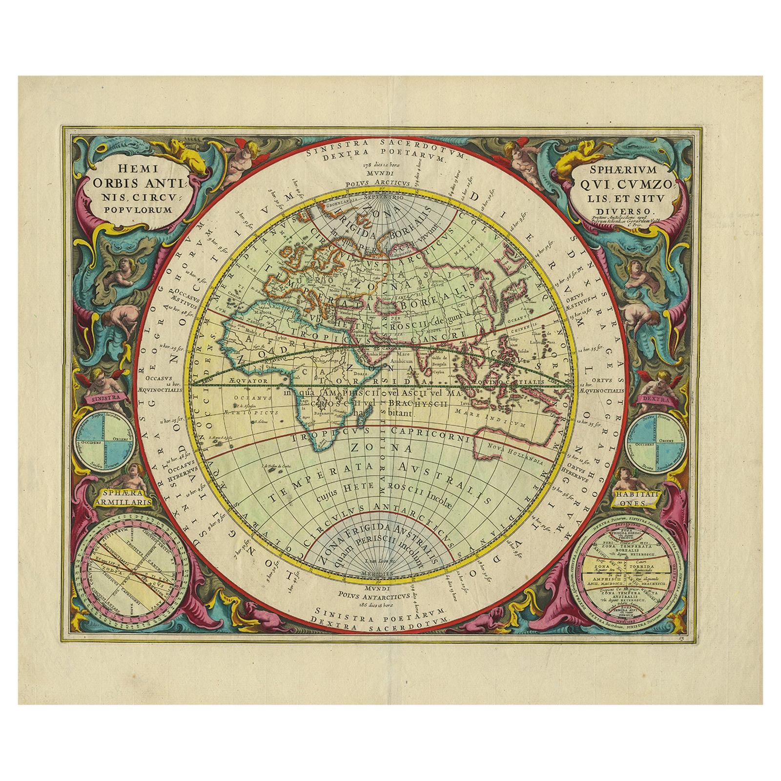
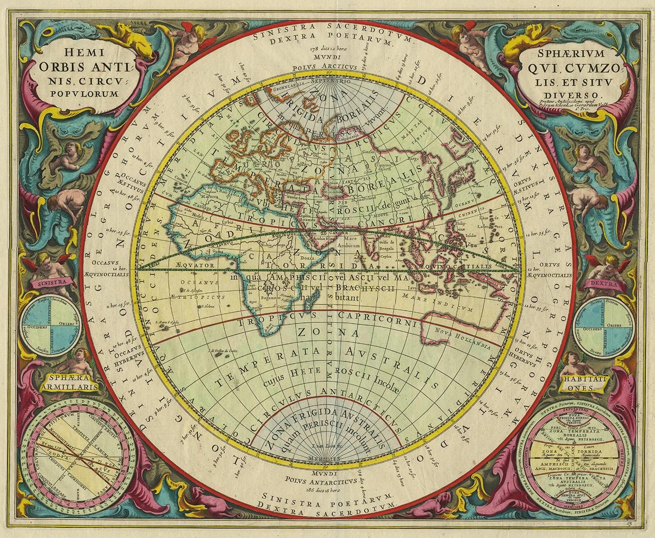
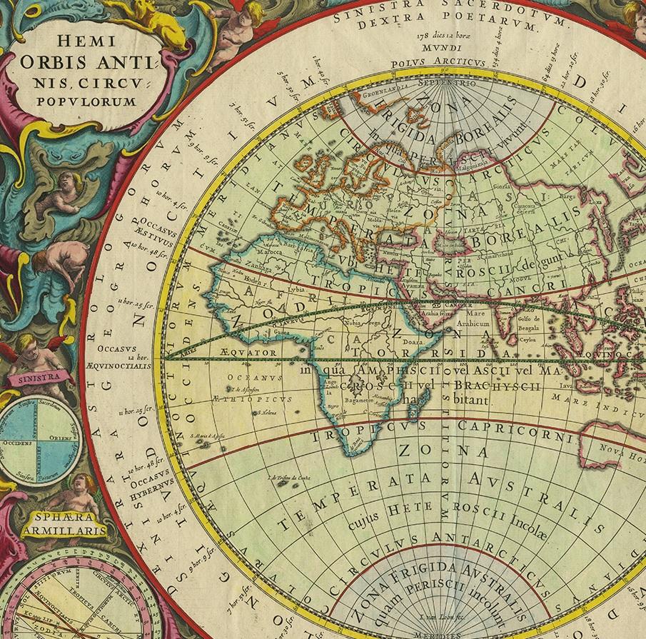
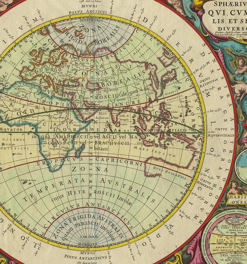
Antique Map of the Eastern Hemisphere by Valk & Chenk '1708'

€ 4 500

One of a kind: this is the sheet in the photographs. Ships from Langweer, the Netherlands.

Date
1708
Technique
Engraved
Sheet size
52.5 × 62 cm (20.7 × 24.4 in)
Condition
Good
Reference
PCT-58794

Condition

Good, given age. Some light crinkles. Original folds as issued. General age-related toning and/or occasional minor defects from handling. Please study images carefully.
About this sheet

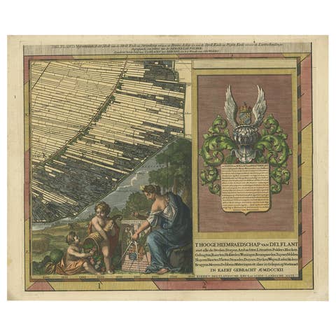
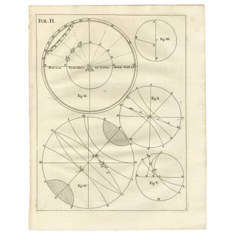
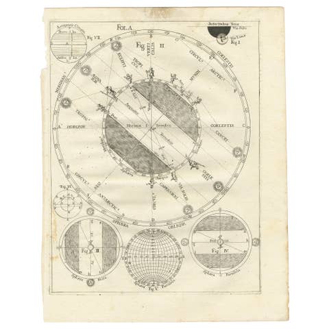
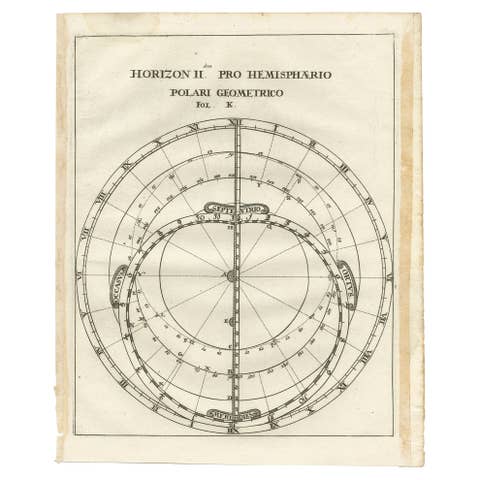
Antique map titled 'Hemispherium Orbis Antiqui, Cumzonis Circulis, Et Sity populorum Diverso'. Decorative example of Andreas Cellarius's map of the Eastern Hemisphere, illustrating with climatic zones ranging from Frigida Borealis to Torrida, with planetary details superimposed. The elaborate border includes fine scrollwork, numerous putti, and additional diagrams showing armillary spheres and climatic zones. Andreas Cellarius was born in 1596 in Neuhausen and educated in Heidelberg. He emigrated to Holland in the early 17th century and 1637 moved to Hoorn, where he became the rector of the Latin School. Cellarius' best known work is his Harmonia Macrocosmica, first issued in 1660 by Jan Jansson, as a supplement to Jansson's Atlas Novus. The work consists of a series of Celestial Charts begun by Cellarius in 1647 and intended as part of a two volume treatise on cosmography, which was never issued. Cellarius' charts are the most soughtafter of celestial charts, blending the striking imagery of the golden age of Dutch Cartography with contemporary scientific knowledge. The present examples come from the Valk & Schenk edition of Cellarius' atlas, which is unchanged from the 1661 edition.

More from World Maps

Ask about this sheet

Antique Map of the Eastern Hemisphere by Valk & Chenk '1708'
1708 · Ref. PCT-58794 · € 4 500
We reply by email, usually within one working day.