Maps & PrintsBartele Gallery · Langweer
Home / Antique Maps / Asia / West Asia & the Holy Land

West Asia & the Holy Land · 18th century

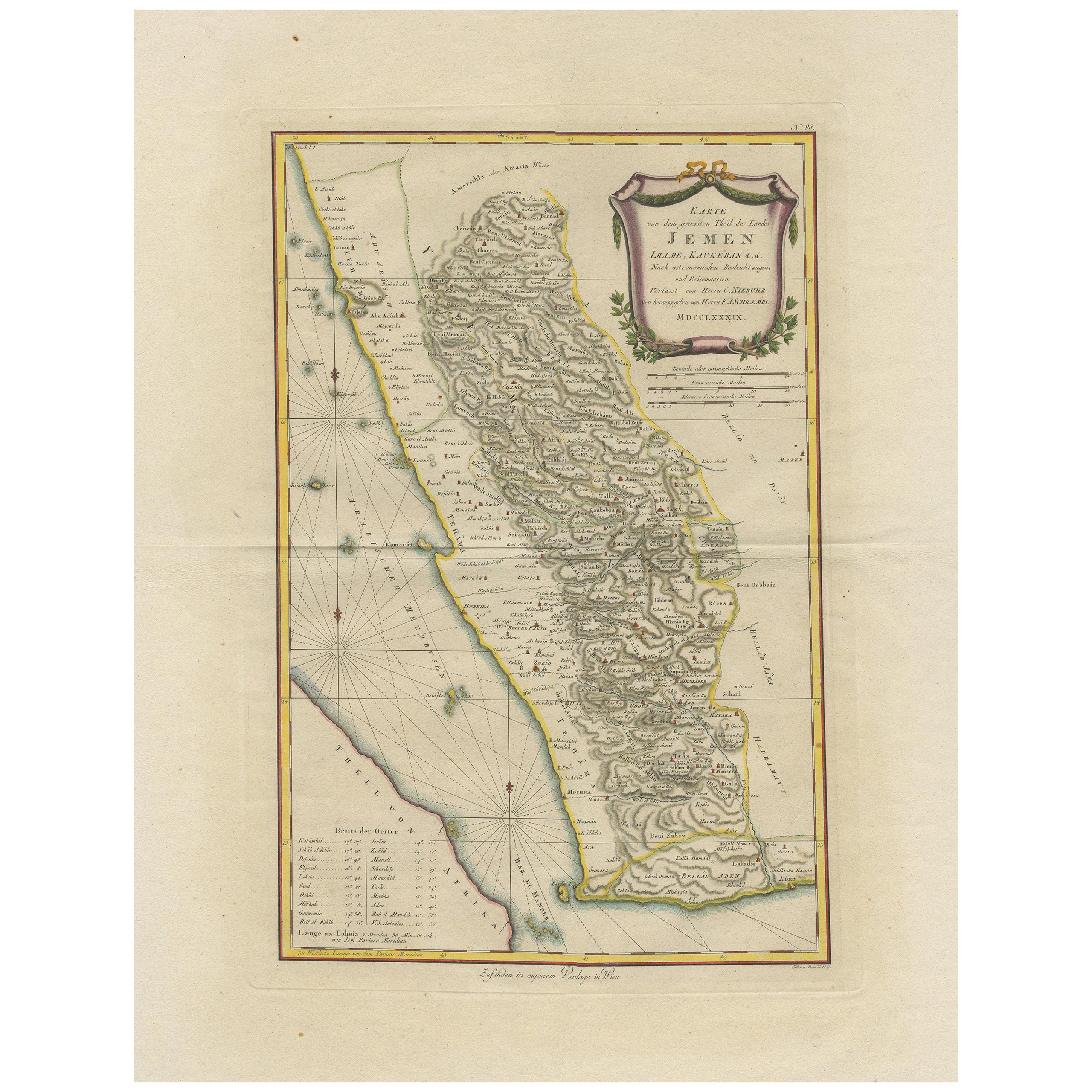
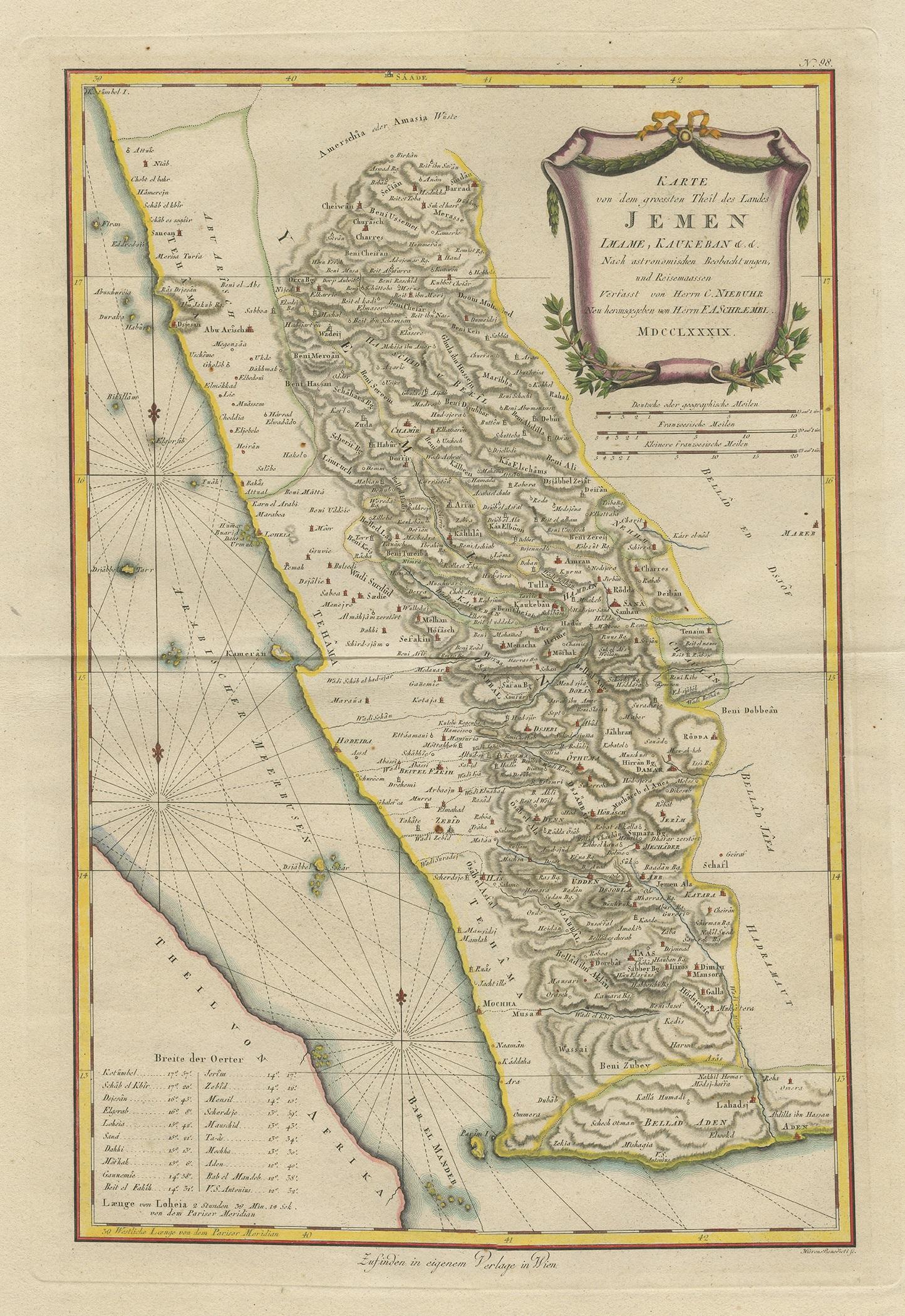
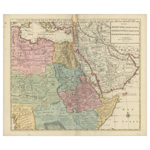
Antique Map of Yemen by Schraembl, 1789

€ 900

One of a kind: this is the sheet in the photographs. Ships from Langweer, the Netherlands.

Date
1789
Sheet size
78 × 59 cm (30.7 × 23.2 in)
Condition
Good
Reference
BG-12747

Condition

Great condition, beautiful original/contemporary hand coloring. Original folding line. General age-related toning, blank verso. Please study images carefully.

About this sheet

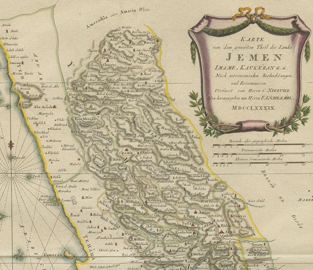
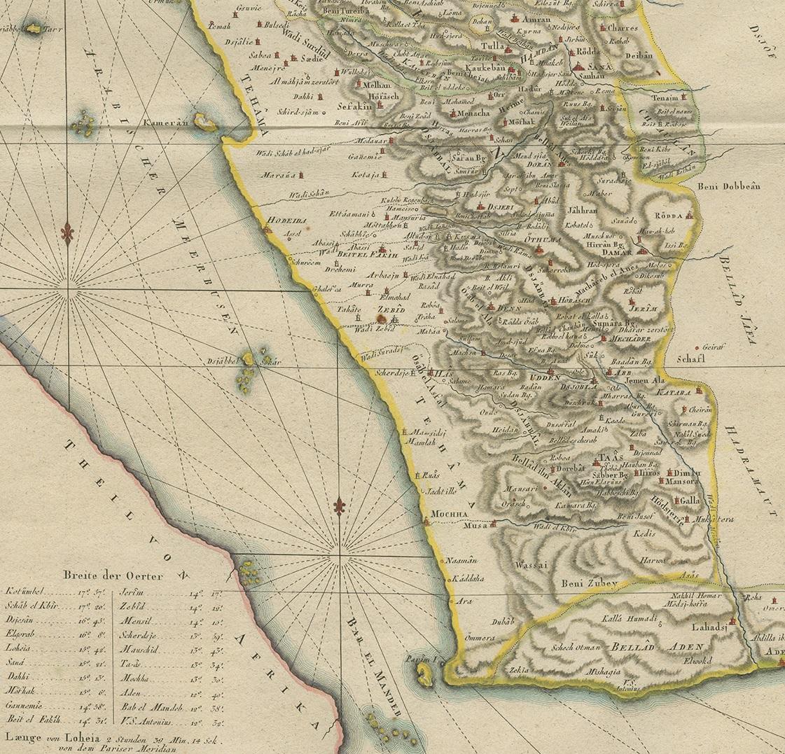
Antique map titled 'Karte von dem groessten Theil des Landes Jemen'. Original map of Yemen, this map is the first printed map specifically of Yemen, and the earliest map based on actual exploration of this region. It is derived from data collected by the German mathematician Carsten Niebuhr. It covers from what is now the western part of Yemen and the southwestern extents of Saudi Arabia. This map originates from the 'Allgemeiner Grosser Atlas' by Franz Anton Schraembl. Published, 1789.

More from West Asia & the Holy Land

Ask about this sheet

Antique Map of Yemen by Schraembl, 1789
1789 · Ref. BG-12747 · € 900
We reply by email, usually within one working day.