Maps & PrintsBartele Gallery · Langweer
Home / Antique Maps / World Maps

World Maps · 18th century

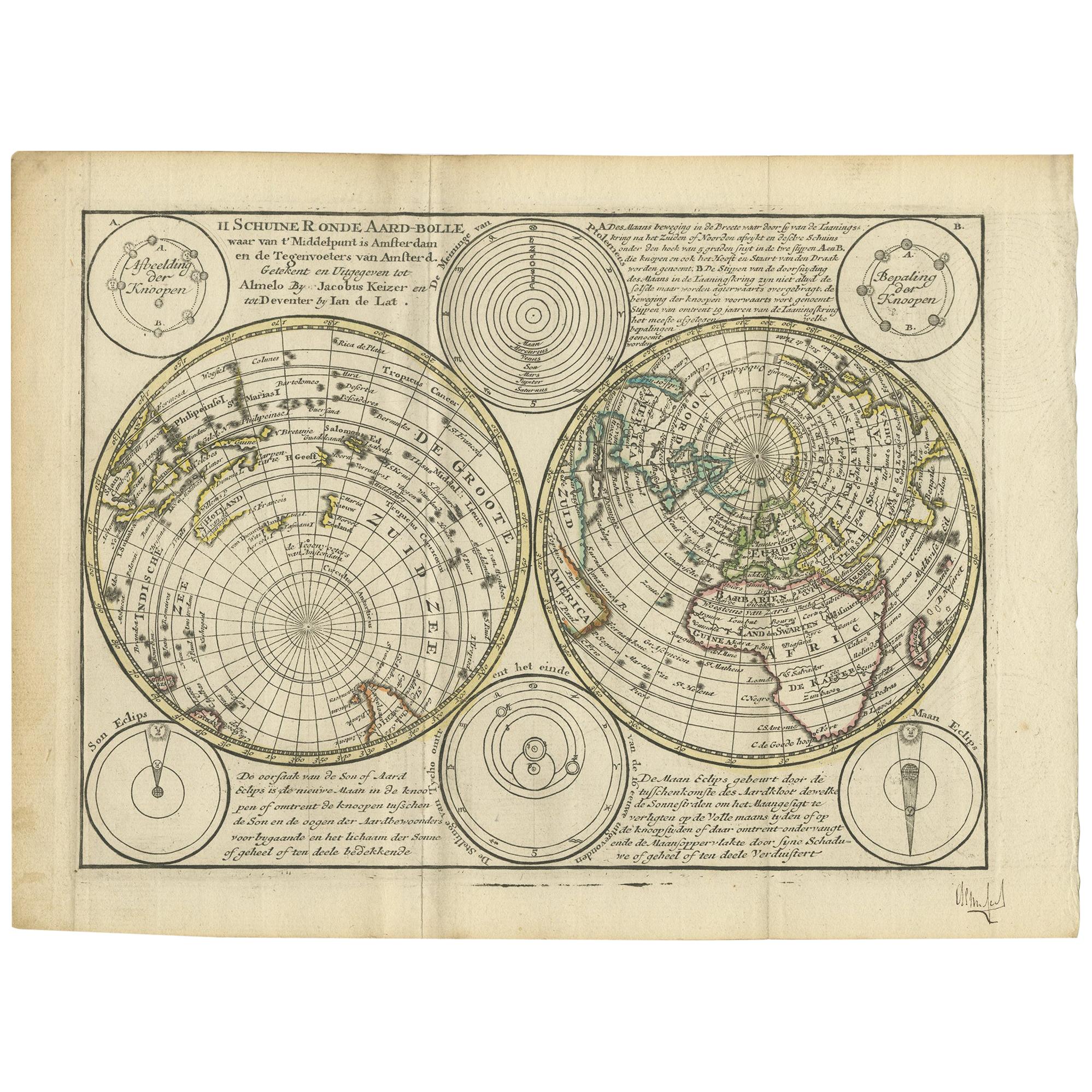
Antique Map of the World in Hemispheres by Keizer & de Lat, 1788

€ 500

One of a kind: this is the sheet in the photographs. Ships from Langweer, the Netherlands.

Date
1788
Sheet size
20.5 × 28 cm (8.1 × 11.0 in)
Condition
Good
Reference
BG-12829-2

Condition

General age-related toning. Original folding lines. Original/contemporary hand coloring, blank verso. Minor wear, please study image carefully.
About this sheet

Antique map titled 'Schuine Ronde Aard-Bolle waar van 't Middelpunt is Amsterdam (..)'. Interesting double hemisphere world map on polar projections. In North America, there is a large Island of California. Australia and New Zealand are shown with incomplete coastlines. The map contains six smaller astronomical spheres with Ptolemaic and Brahe solar systems in the cusps of the hemispheres.

This map originates from 'Nieuwe Natuur- Geschied- en Handelkundige Zak- en Reisatlas' by Gerrit Brender à Brandis. Published by J. Keizer and I. de Lat, 1788.

More from World Maps

Ask about this sheet

Antique Map of the World in Hemispheres by Keizer & de Lat, 1788
1788 · Ref. BG-12829-2 · € 500
We reply by email, usually within one working day.