Maps & PrintsBartele Gallery · Langweer
Home / Antique Maps / Asia / South-East Asia / East Indies

East Indies · 18th century

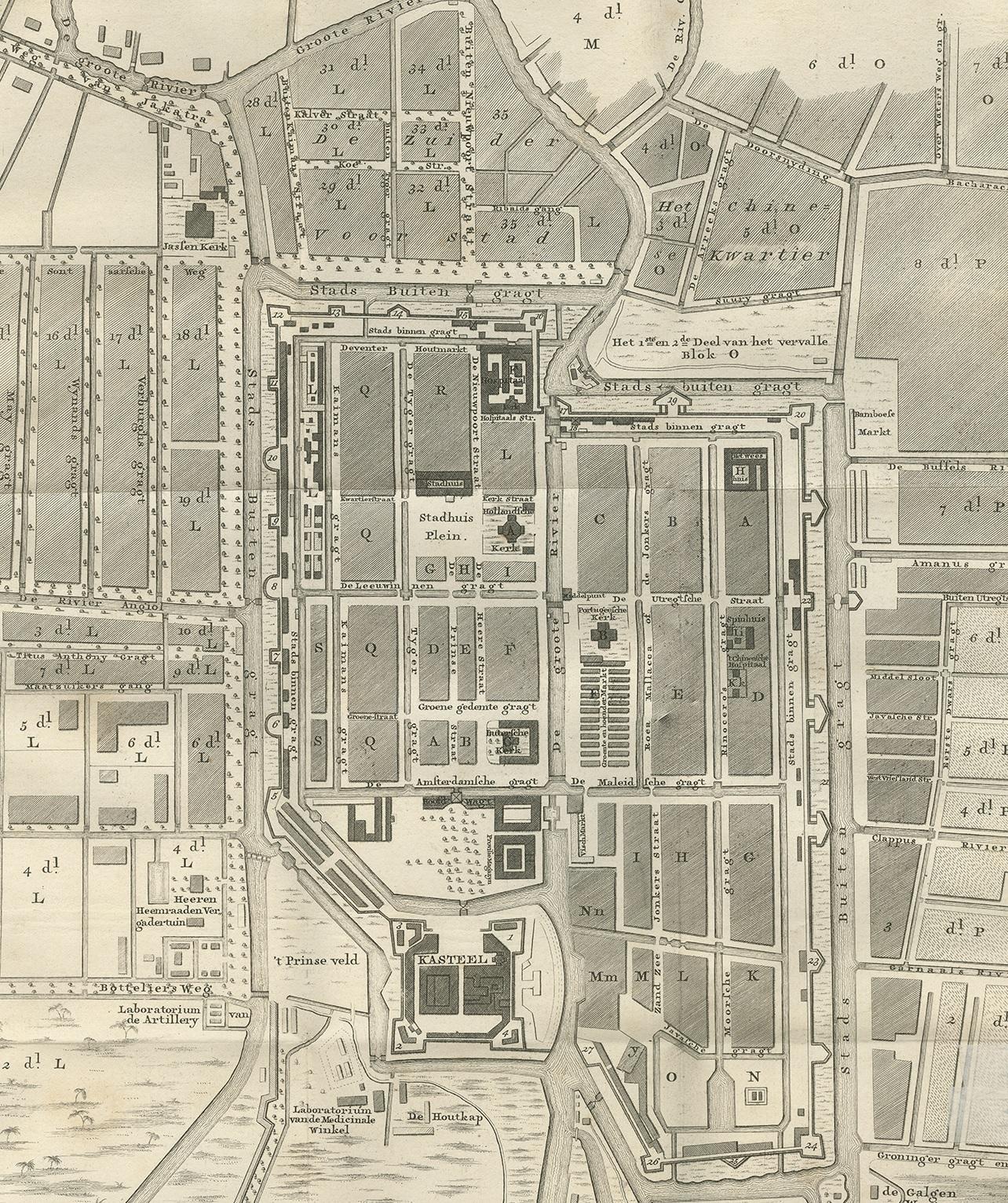
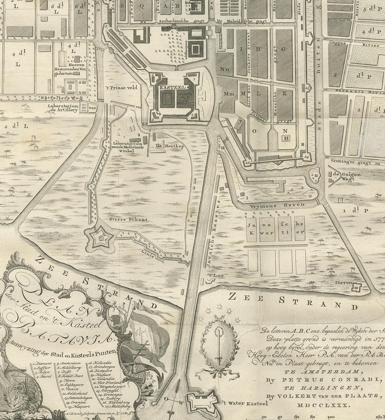
Antique Plan of Batavia by Van Krevelt, circa 1780

€ 2 500

One of a kind: this is the sheet in the photographs. Ships from Langweer, the Netherlands.

Date
1780
Technique
Engraved
Sheet size
69 × 45 cm (27.2 × 17.7 in)
Condition
Good
Reference
BGRN-257

Condition

Original folding lines, with a few small repairs. General age-related toning. Minor wear, blank verso. Please study images carefully.
About this sheet

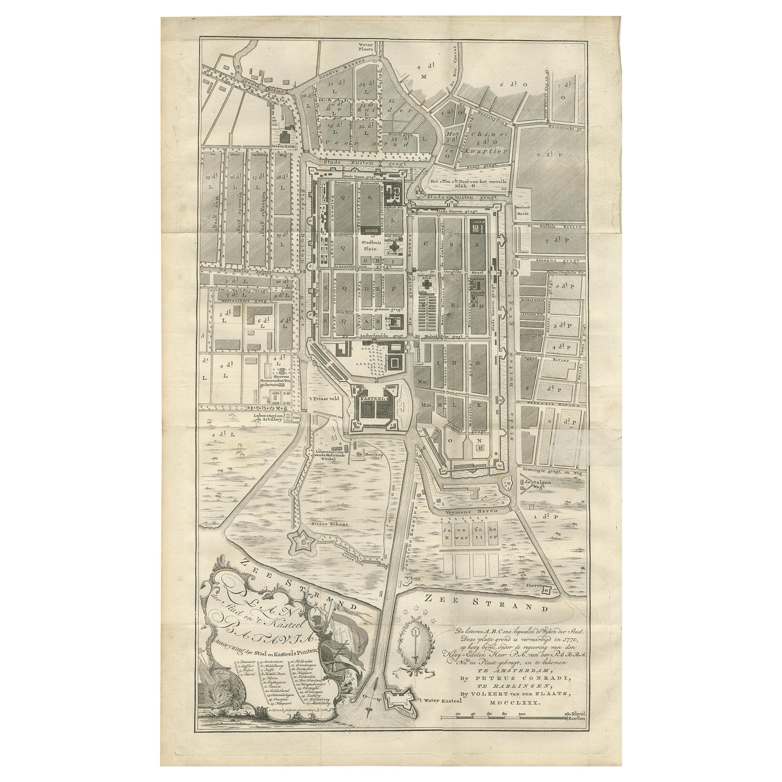
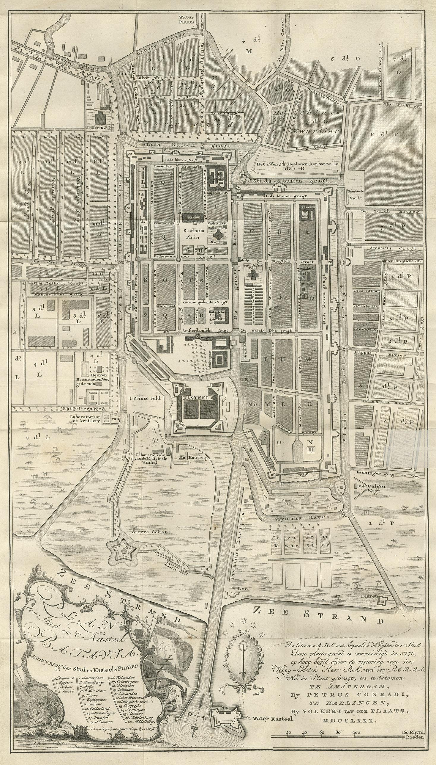
Antique map titled 'Plan der Stad en 't Kasteel Batavia'. A very rare late 18th century detailed plan of Batavia, Indonesia, with an alpha-numeric key showing the main areas and buildings (only the numeric key is shown in the plan legend). The plan was engraved by A. van Krevelt of Amsterdam in 1780 and published by Peter Conradi in circa 1780.

More from East Indies

Ask about this sheet

Antique Plan of Batavia by Van Krevelt, circa 1780
1780 · Ref. BGRN-257 · € 2 500
We reply by email, usually within one working day.