Maps & PrintsBartele Gallery · Langweer
Home / Antique Maps / Africa

Africa · 18th century

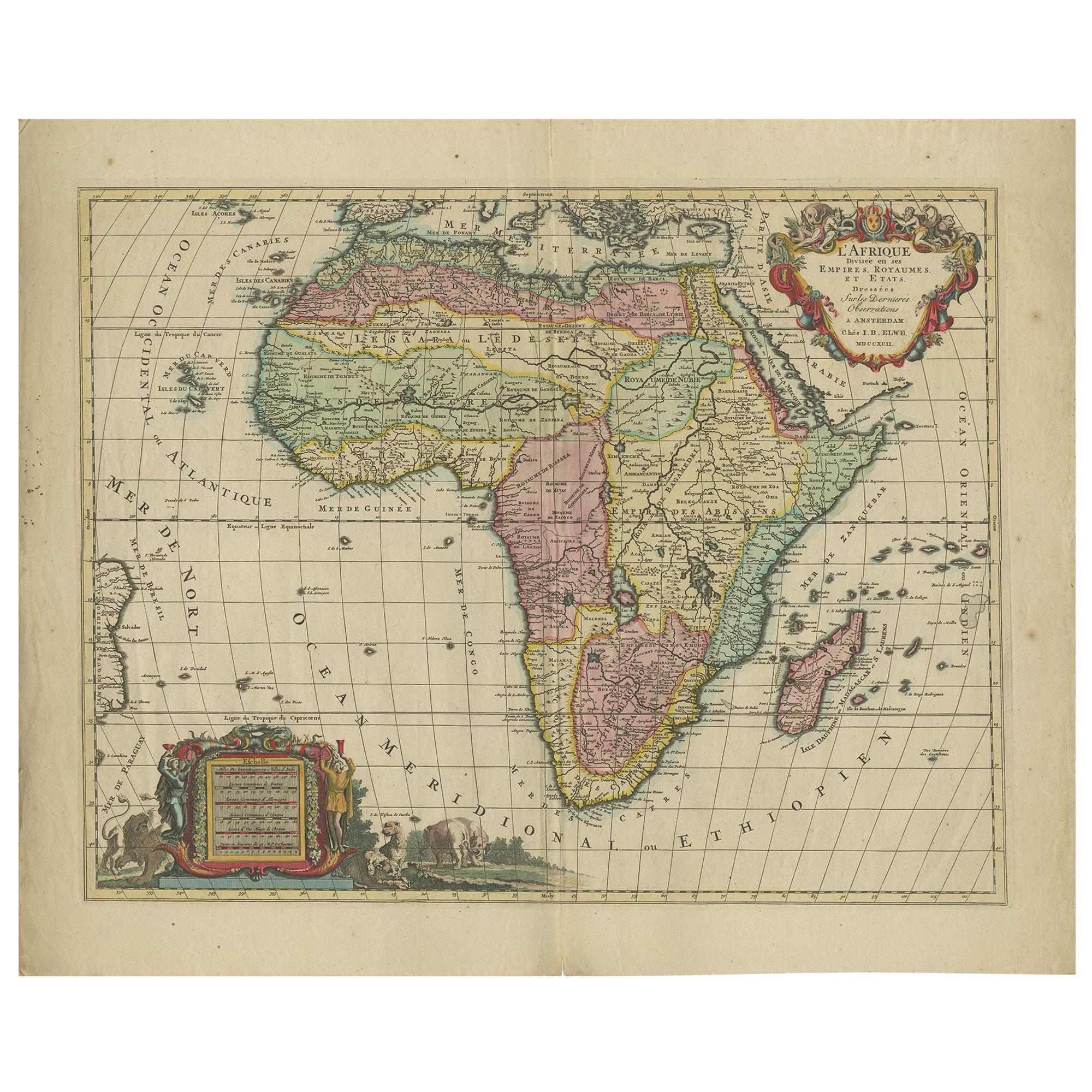
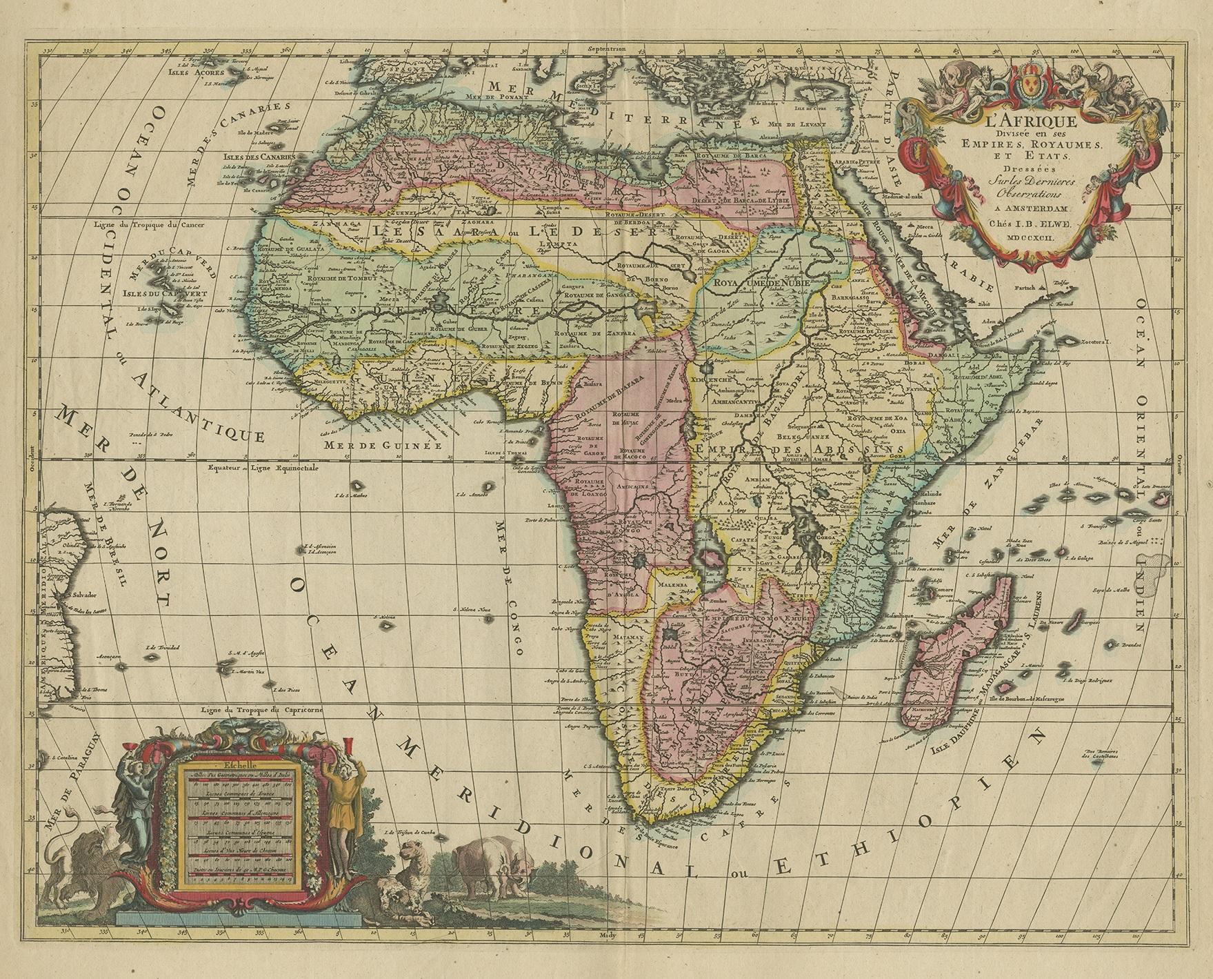
Original Hand-Colored Antique Map of Africa by Elwe '1792'

€ 1 000

One of a kind: this is the sheet in the photographs. Ships from Langweer, the Netherlands.

Date
1792
Sheet size
55 × 68 cm (21.7 × 26.8 in)
Condition
Good
Reference
BG-12813-1

Condition

Partly original/contemporary hand coloring. General age-related toning, original folding line. Minor wear and small splits on folding lines. Few small holes affecting image. Blank verso. Please study images carefully.
About this sheet

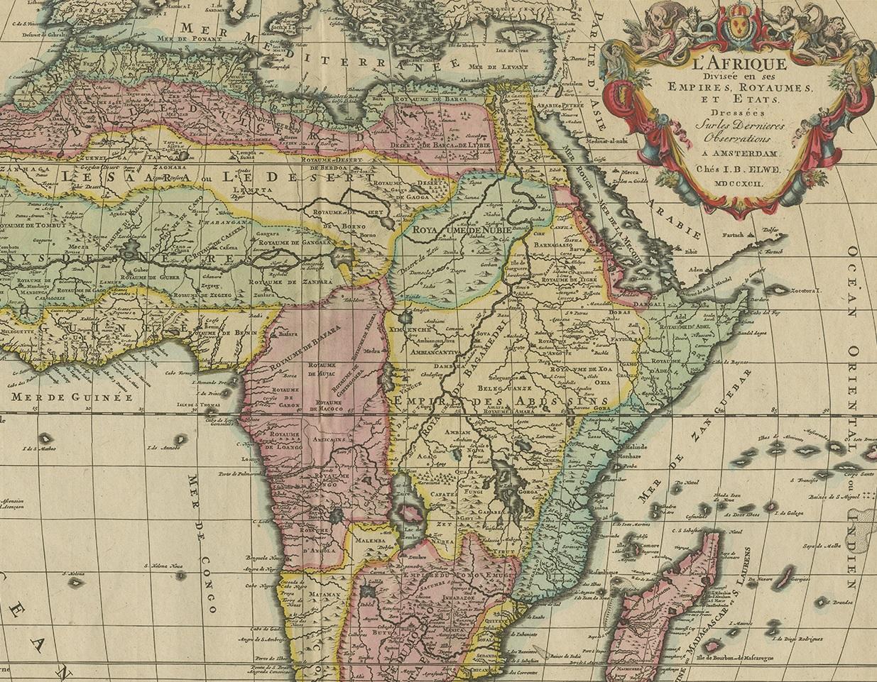
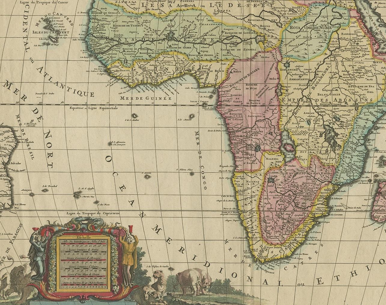
Antique map titled 'l'Afrique Divisée en ses Empires, Royaumes, et Etats'. Decorative large map of Africa. The cartography is typical for the 17th century with the Nile originating in two large lakes below the equator. The River Zaire (Congo) also arises from Lake Zaire. The Kingdom of Monomotapa is shown with its capital on the Rio de Spirito Santa, and Vigiti Magna is also depicted. The map is richly embellished, also in the 17th century style, with two elaborate cartouches featuring allegorical figures and wild animals. Published by J.B. Elwe, 1792.

More from Africa

Ask about this sheet

Original Hand-Colored Antique Map of Africa by Elwe '1792'
1792 · Ref. BG-12813-1 · € 1 000
We reply by email, usually within one working day.