Sea Charts · 18th century
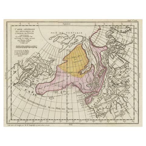
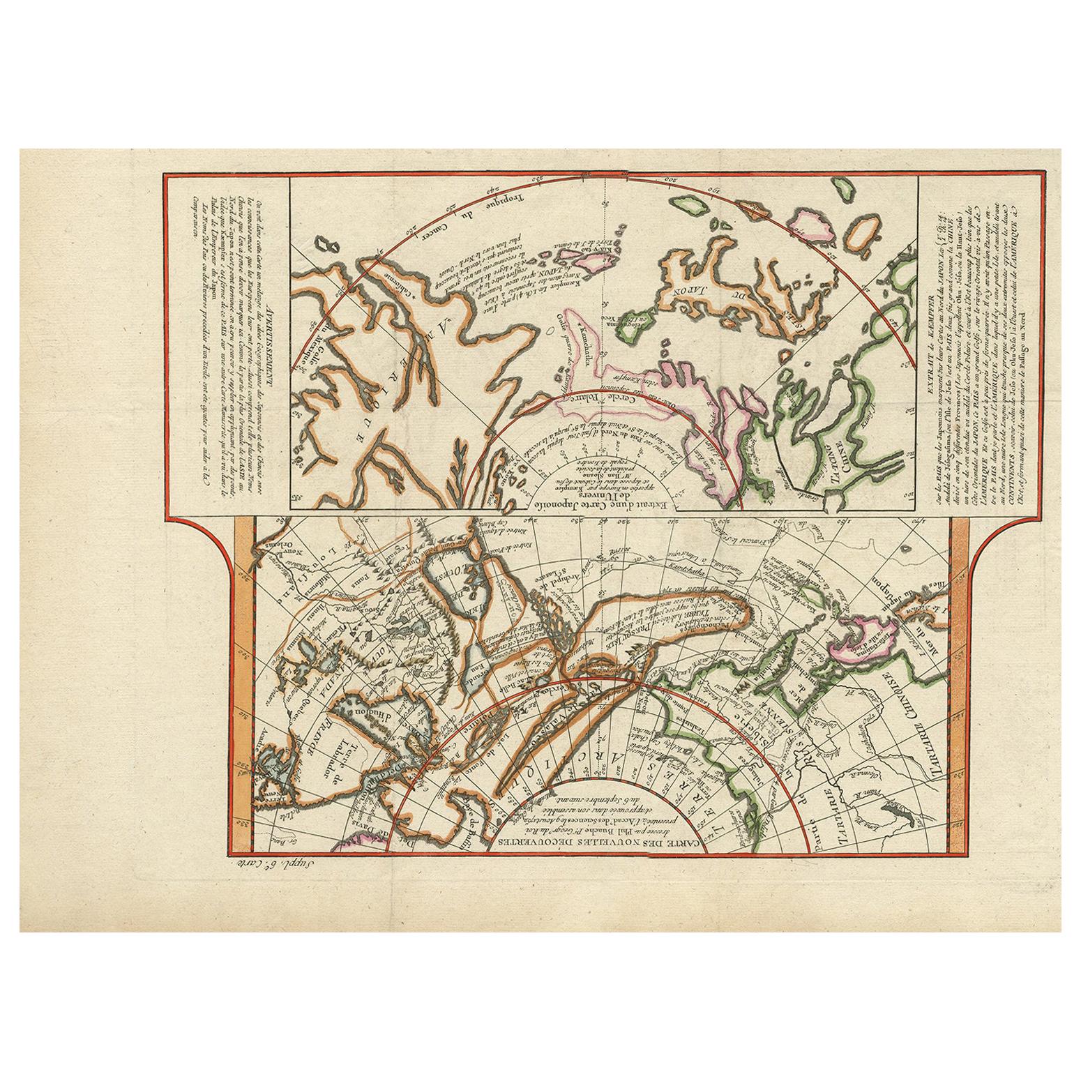
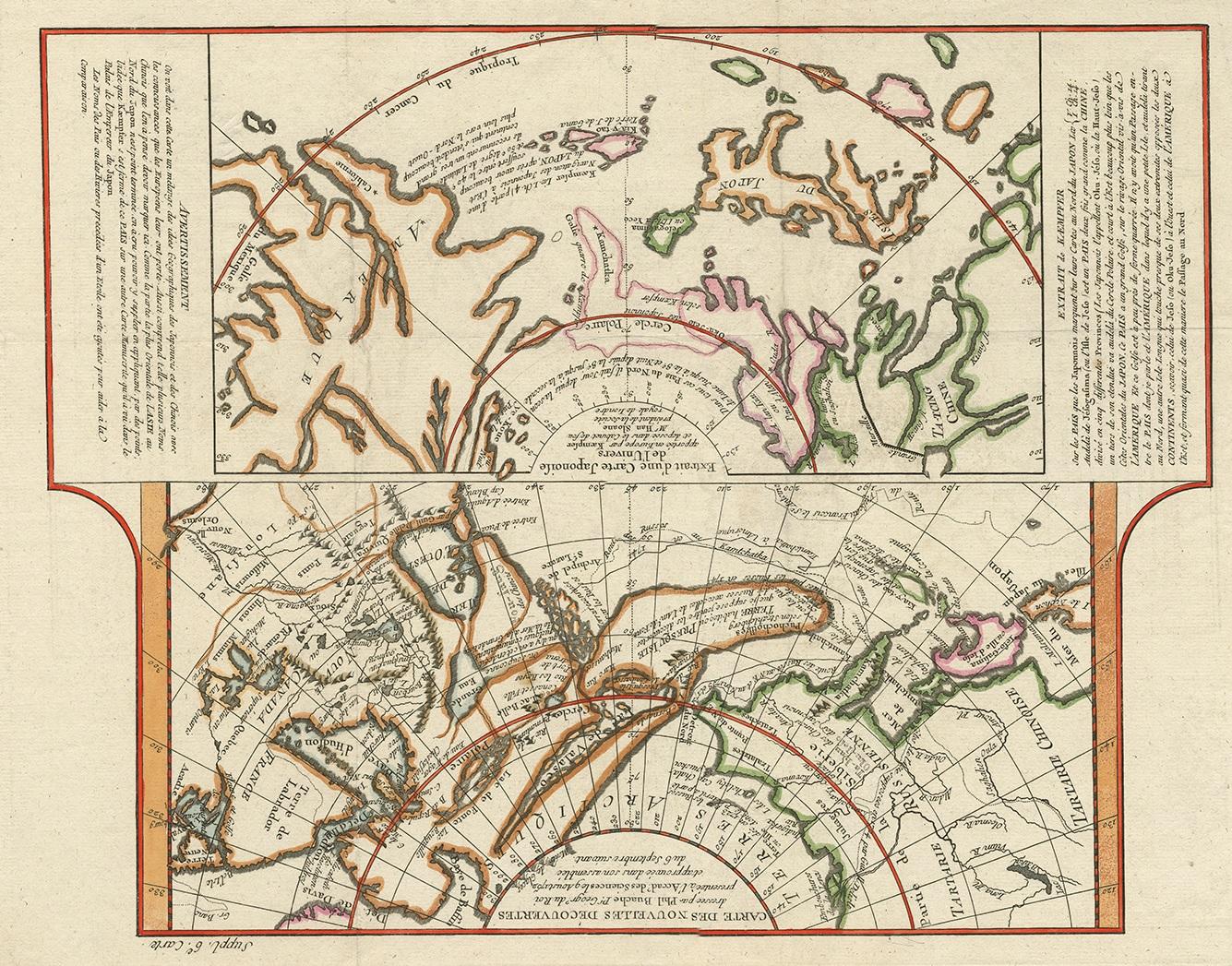
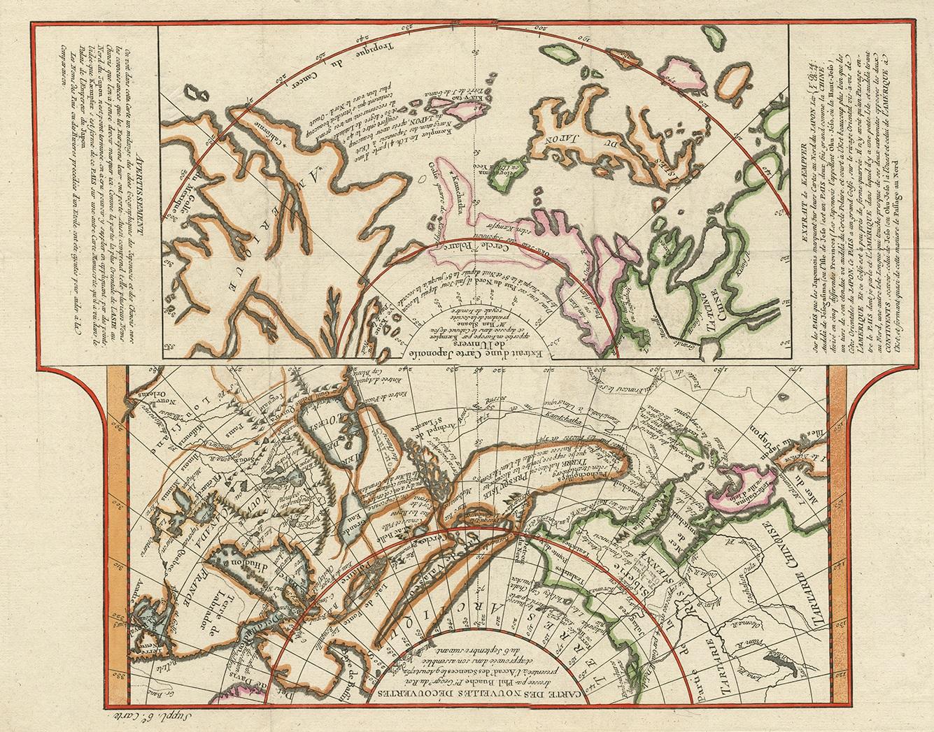
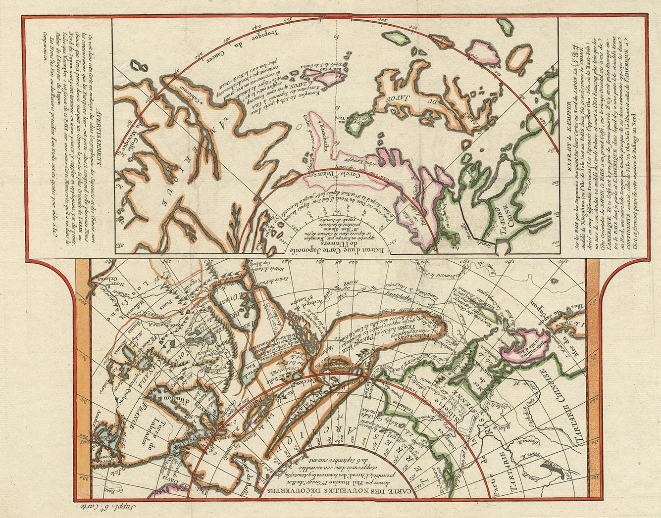
Antique Map of the West Coast of North America & North East Coast of Asia '1772'
€ 650
One of a kind: this is the sheet in the photographs. Ships from Langweer, the Netherlands.
- Date
- 1772
- Sheet size
- 35 × 47.7 cm (13.8 × 18.8 in)
- Condition
- Good
- Reference
- PCT-58789
Condition
Good, given age. Tiny hole in image; backed and only visble on verso. Original folds as issued. General age-related toning and/or occasional minor defects from handling. Please study images carefully.