Maps & PrintsBartele Gallery · Langweer
Home / Antique Maps / Europe

Europe · 18th century

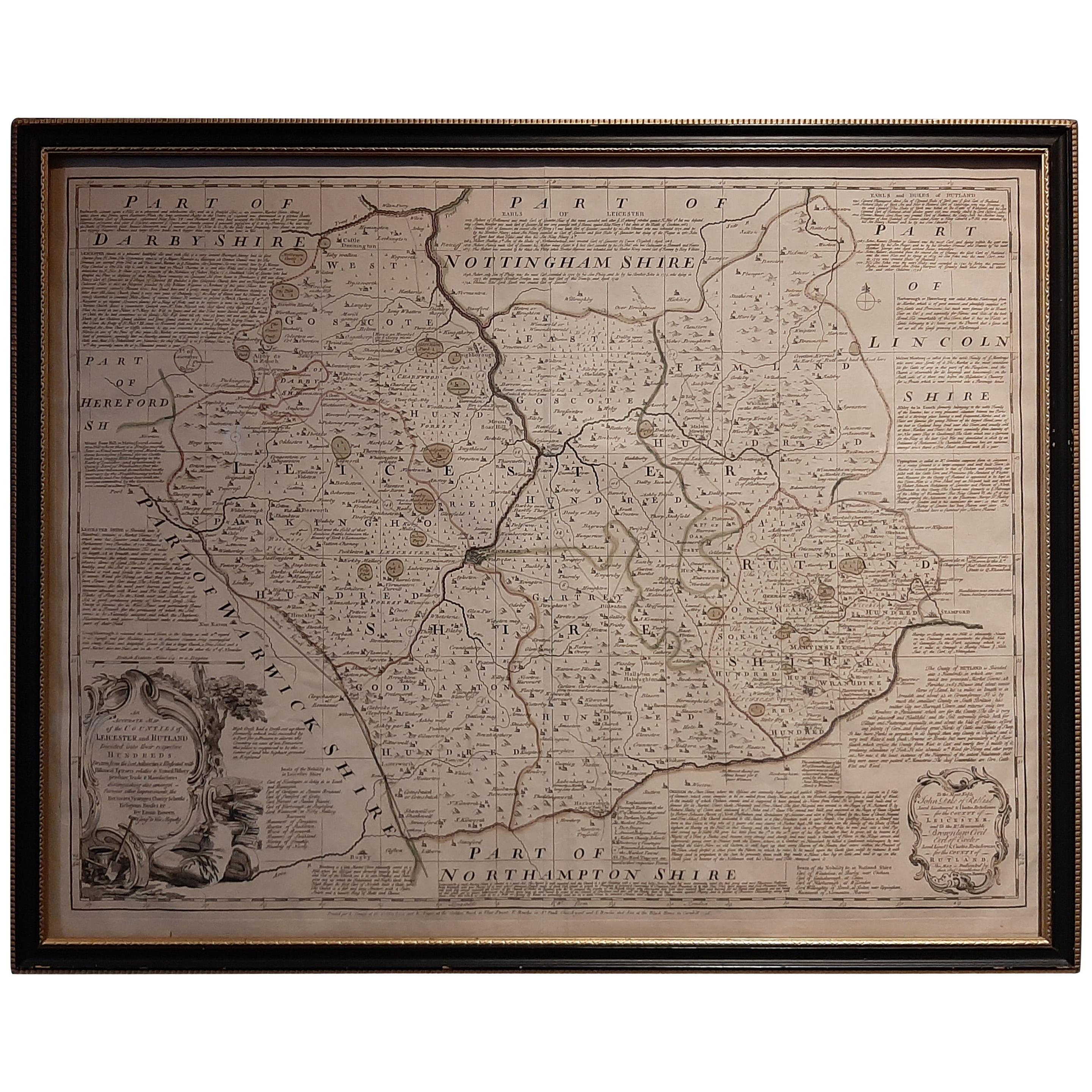
Antique Map of Leicester and Rutland by Tinney & Sayer, 'circa 1756'

€ 800

One of a kind: this is the sheet in the photographs. Ships from Langweer, the Netherlands.

Date
1756
Sheet size
61.5 × 76.5 cm (24.2 × 30.1 in)
Condition
Good
Reference
BGJC-356

Condition

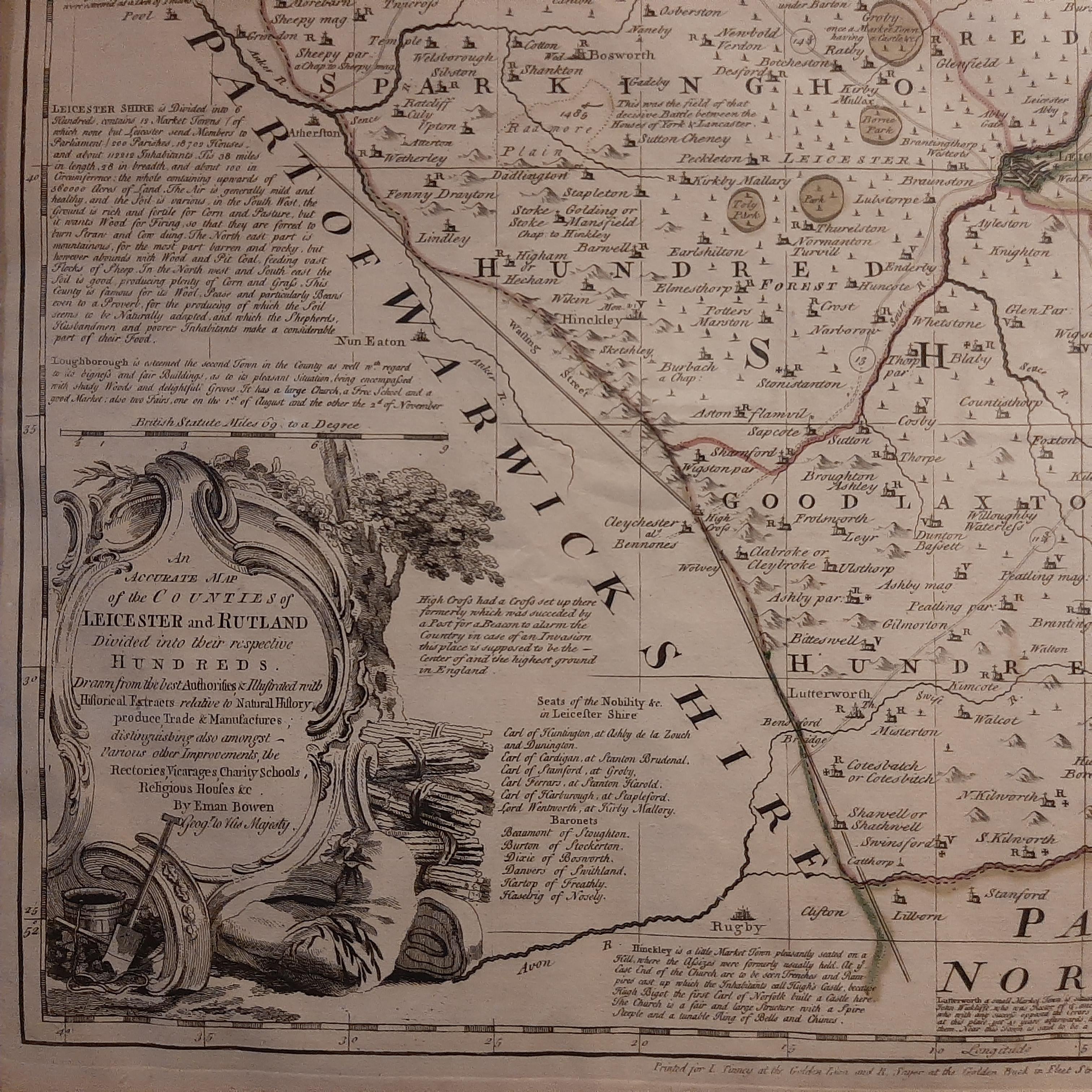
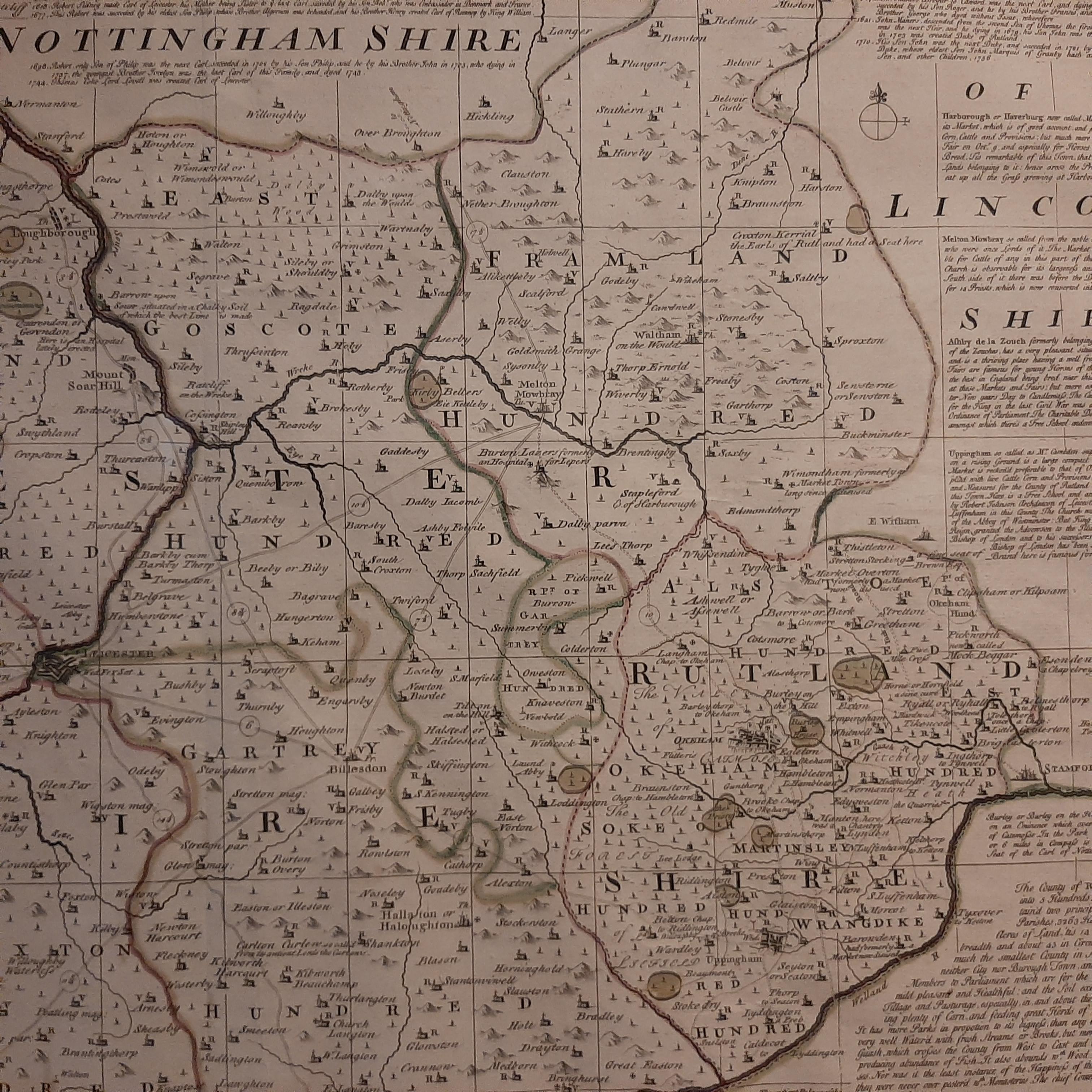
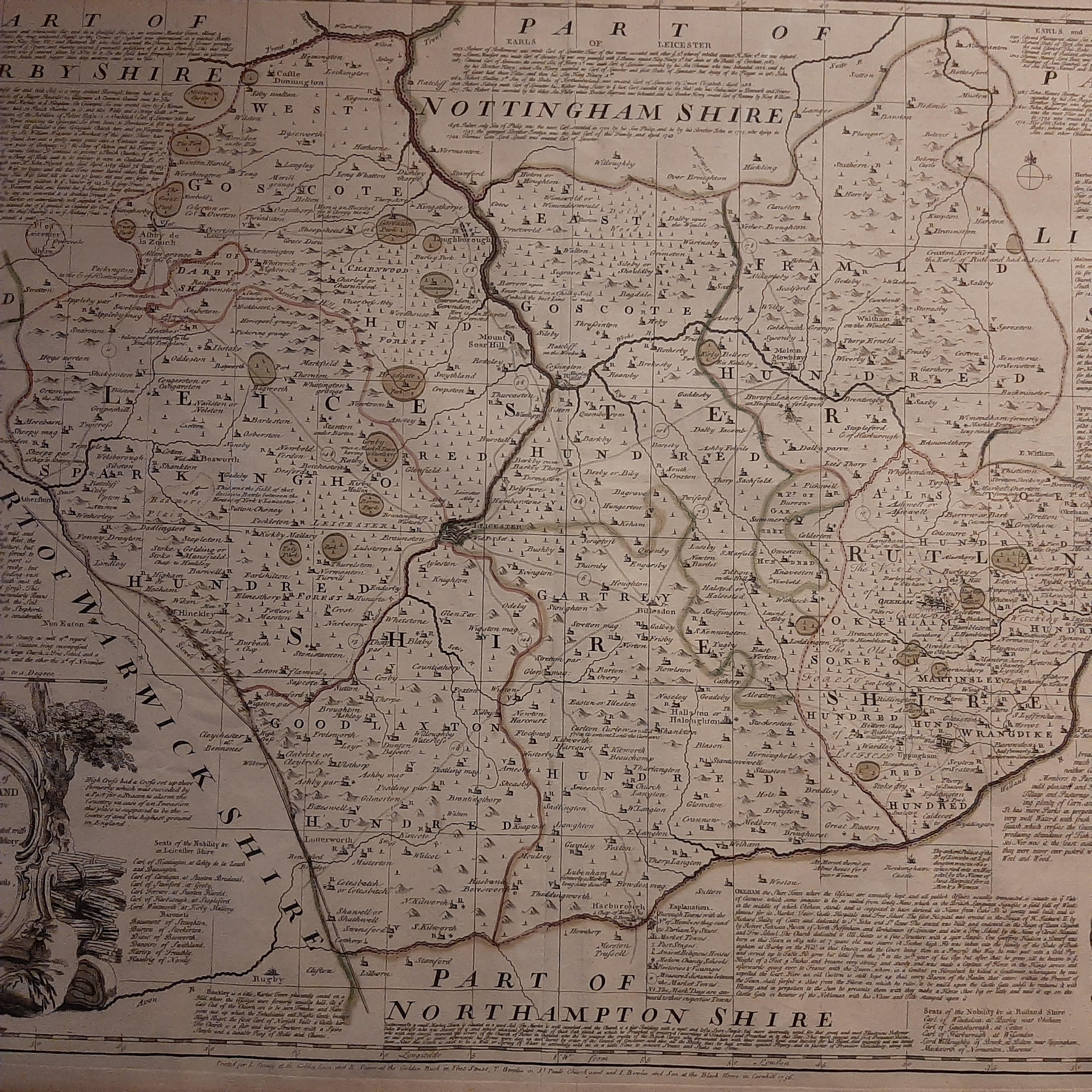
General age-related toning, minor wear. Original folding line. Frame included, lightly used. Please study images carefully.
About this sheet

Antique map titled 'An Accurate Map of the Counties of Leicester and Rutland (..)'. Large map of Leicester and Rutland with dedications to the Most Noble John Duke of Rutland, and to the Rt. Honorable Brownlow Cecil, Earl of Exeter. Published by Tinney & Sayer, circa1756.

Frame included. We carefully pack our framed items to ensure safe shipping.

More from Europe

Ask about this sheet

Antique Map of Leicester and Rutland by Tinney & Sayer, 'circa 1756'
1756 · Ref. BGJC-356 · € 800
We reply by email, usually within one working day.