Maps & PrintsBartele Gallery · Langweer
Home / Antique Maps / Europe / Western Europe / France

France · 18th century

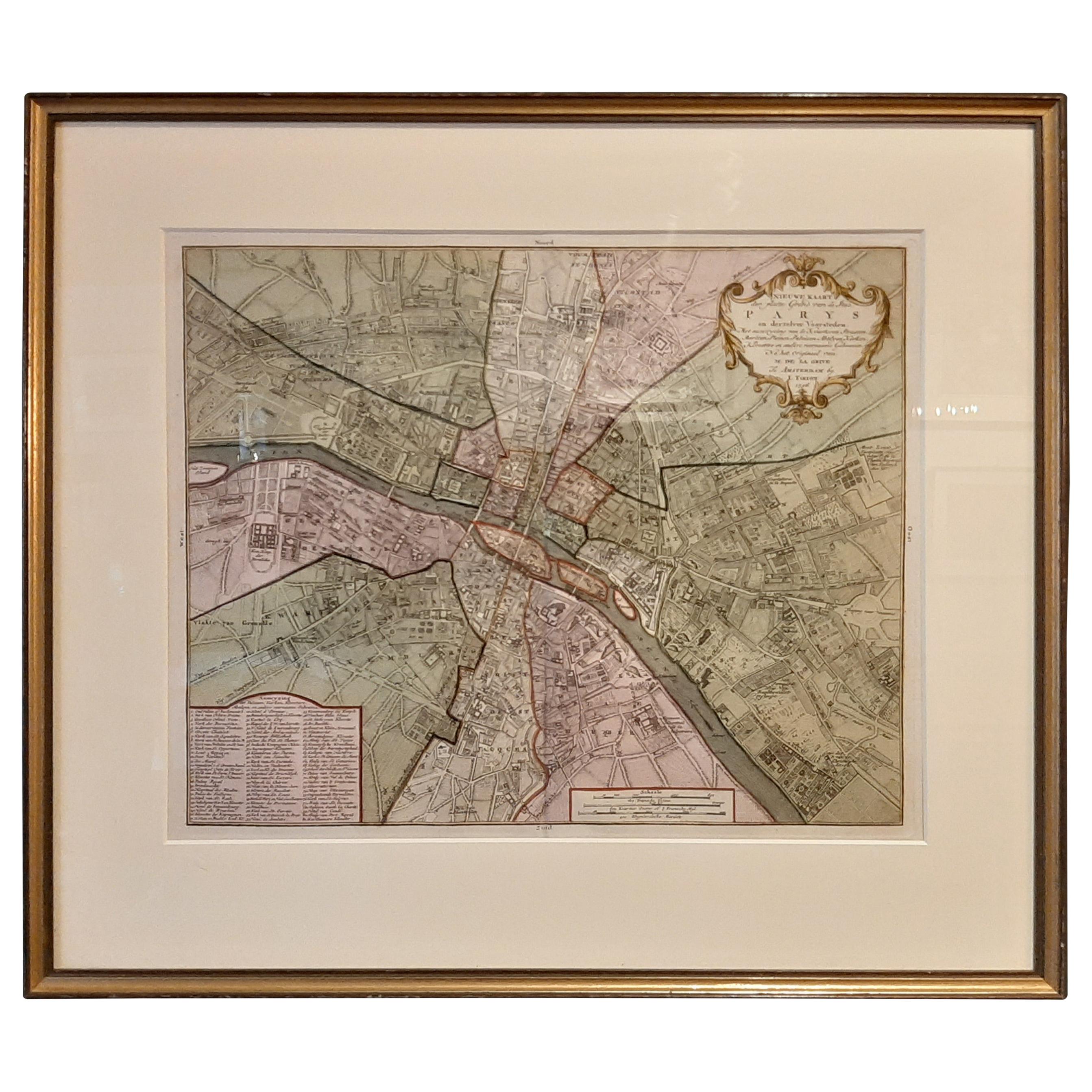
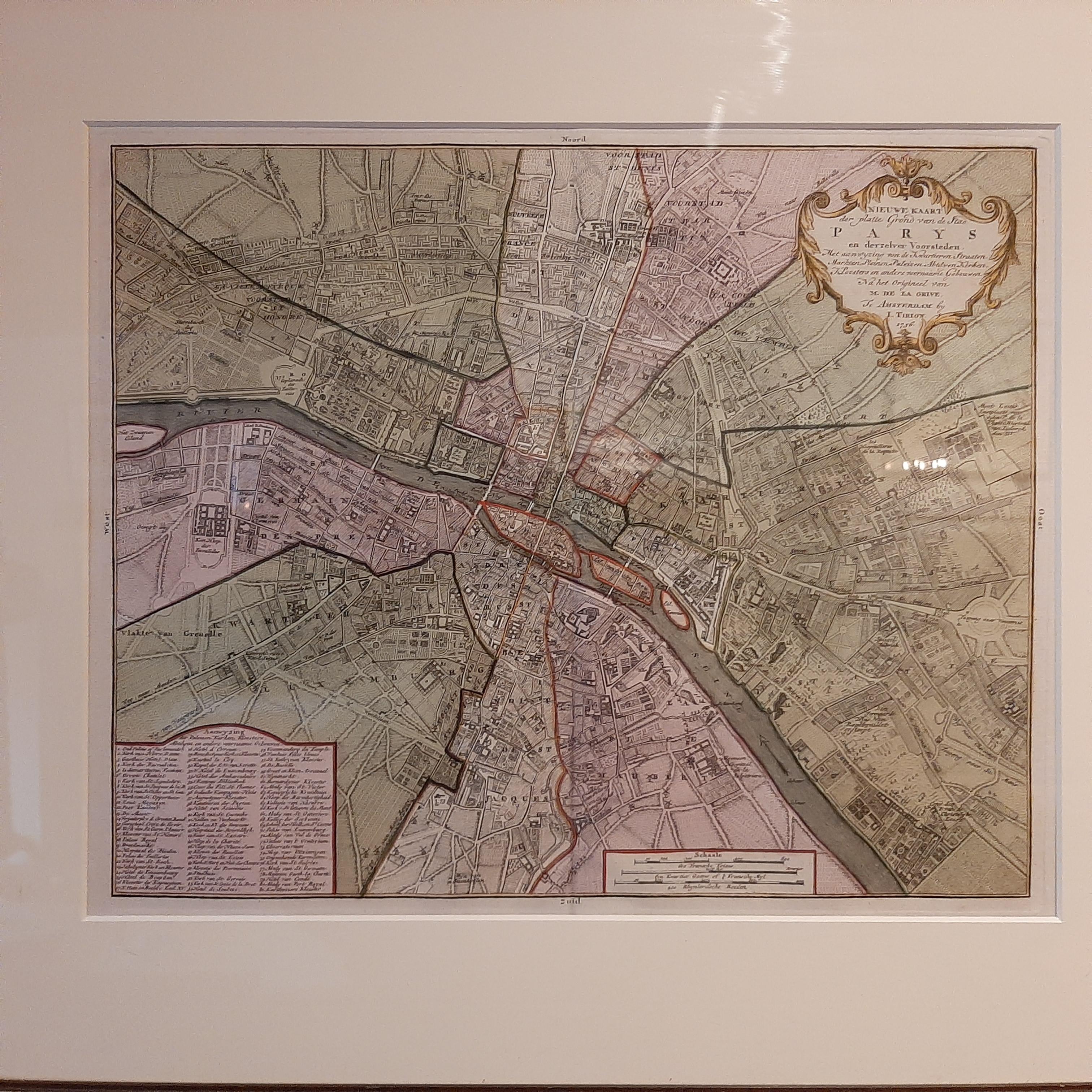
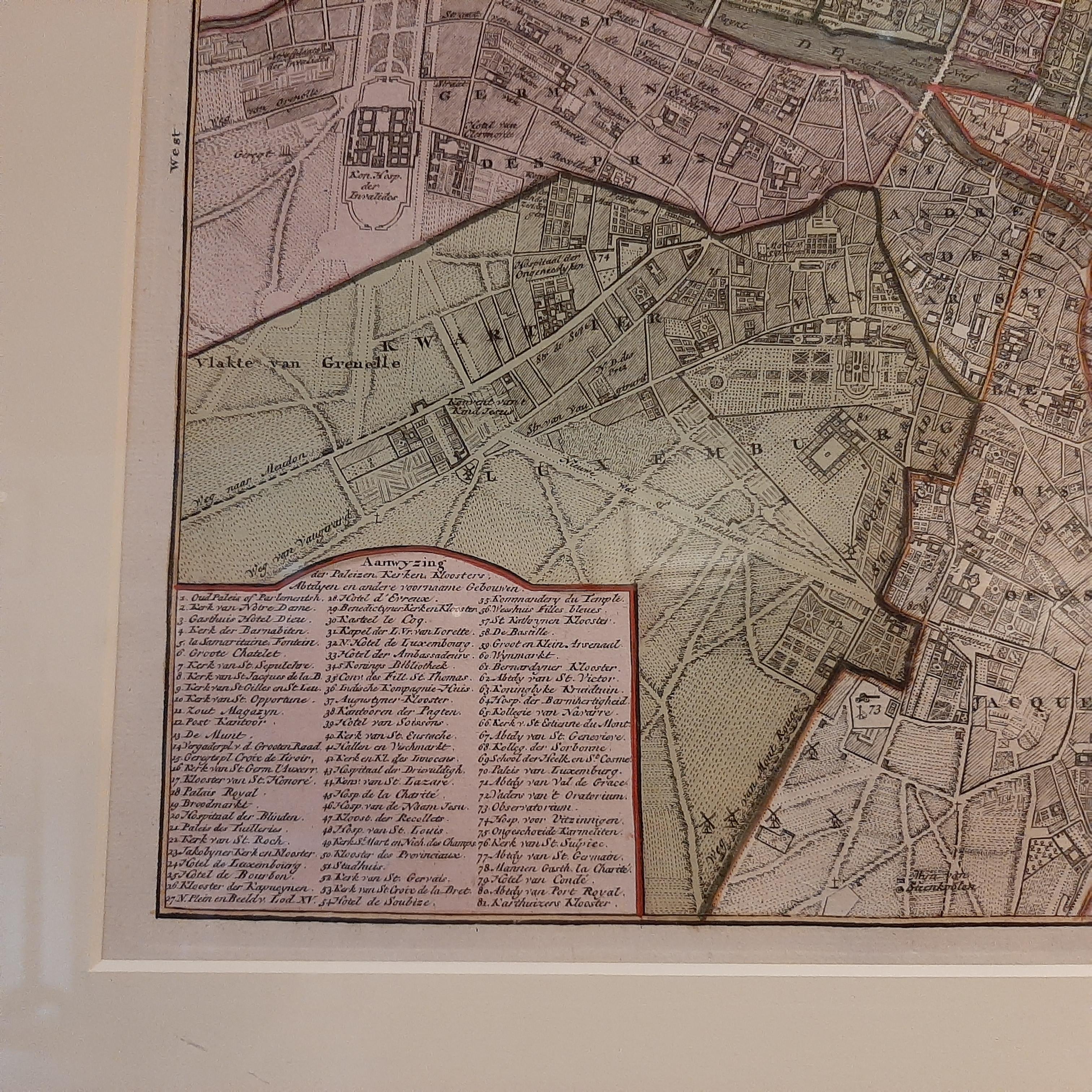
Antique Map of the City of Paris by Tirion '1763'

€ 1 200

One of a kind: this is the sheet in the photographs. Ships from Langweer, the Netherlands.

Date
1763
Sheet size
47 × 53 cm (18.5 × 20.9 in)
Condition
Good
Reference
BG-03751

Condition

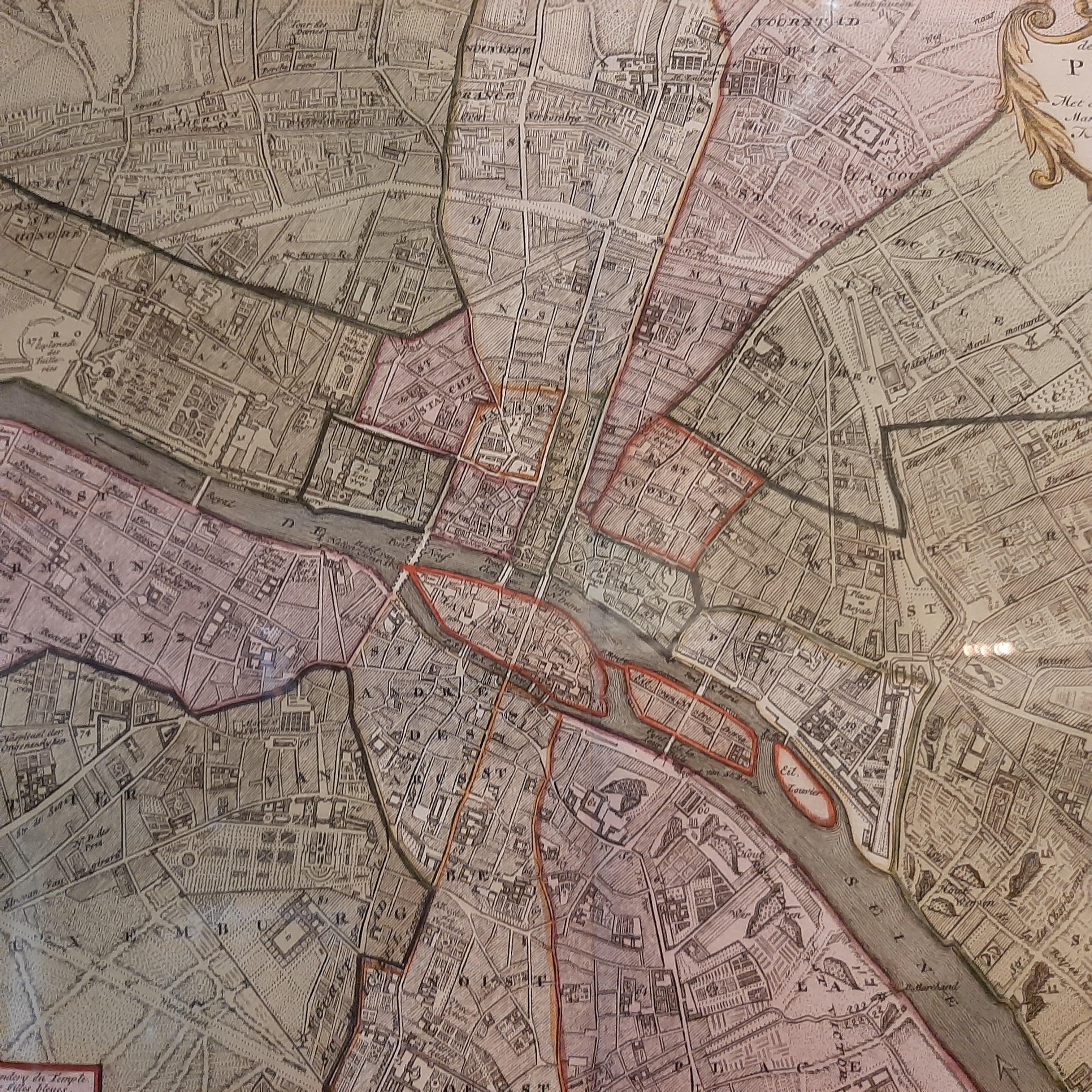
Beautiful hand coloring. Map is in great condition, absolutely stunning. Frame included, lightly used. Please study images carefully.

About this sheet

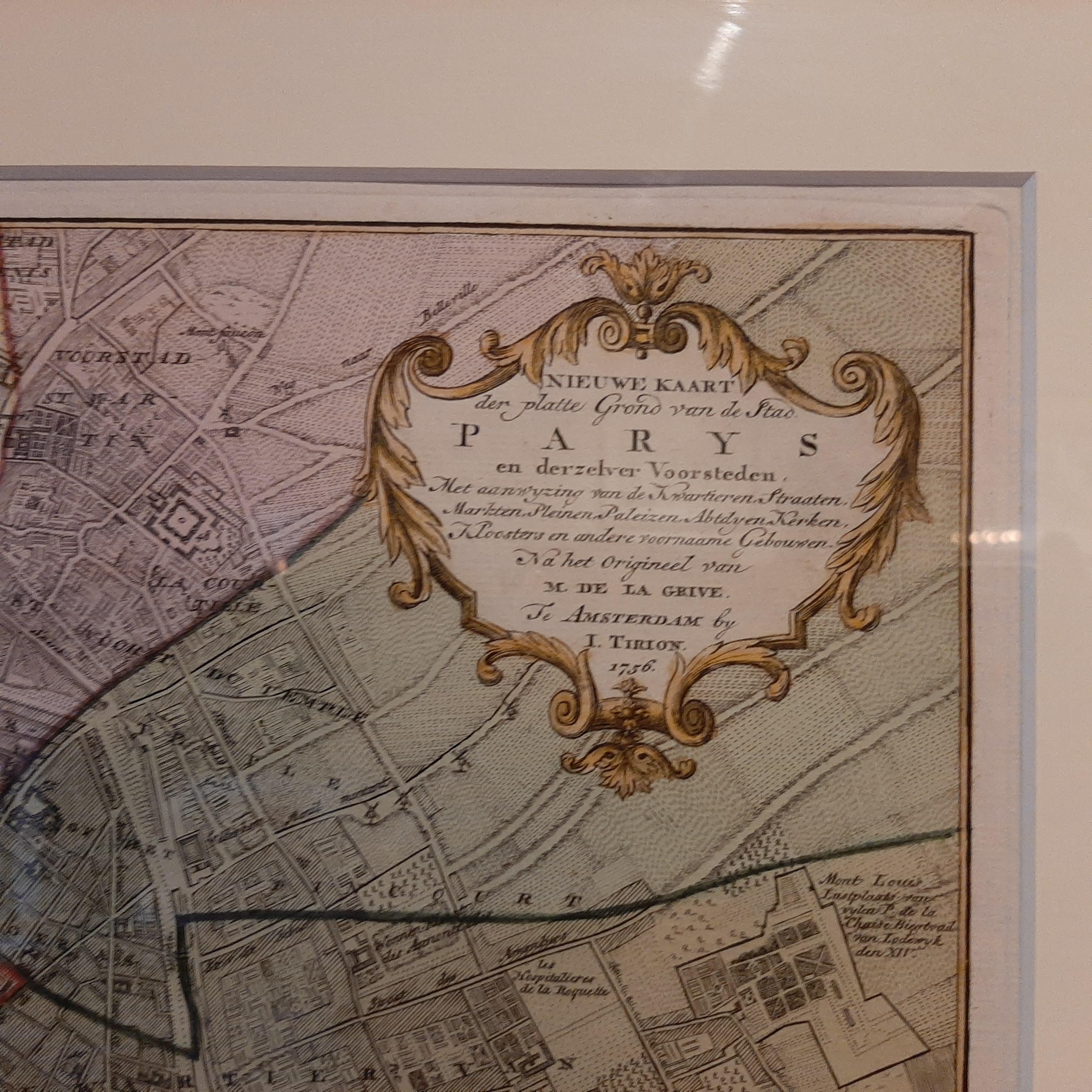
Antique map titled 'Nieuwe Kaart der platte Grond van de Stad Parys (..)'. Beautiful city plan of Paris, France. This map originates from 'Nieuwe en Beknopte Hand-Atlas, bestaande in eene Verzameling van eenige der algemeenste en nodigste Landkaarten by I. Tirion.

Frame included. We carefully pack our framed items to ensure safe shipping.

More from France

Ask about this sheet

Antique Map of the City of Paris by Tirion '1763'
1763 · Ref. BG-03751 · € 1 200
We reply by email, usually within one working day.