Maps & PrintsBartele Gallery · Langweer
Home / Antique Maps / Sea Charts

Sea Charts · 18th century

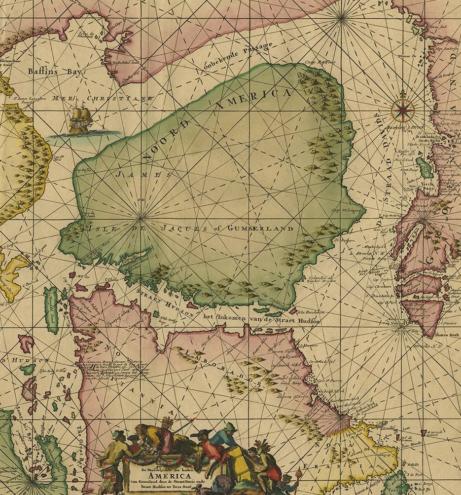
Greenland & North America – Antique Sea Chart by Frederick de Wit, 1745

€ 3 500

One of a kind: this is the sheet in the photographs. Ships from Langweer, the Netherlands.

Date
1745
Technique
Engraved
Sheet size
54.5 × 66 cm (21.5 × 26.0 in)
Condition
Good
Reference
PCT-59809

Condition

Beautiful original/contemporary hand coloring. Original folding line. Minor wear and toning. Small hole outside image. Please study images carefully.
About this sheet

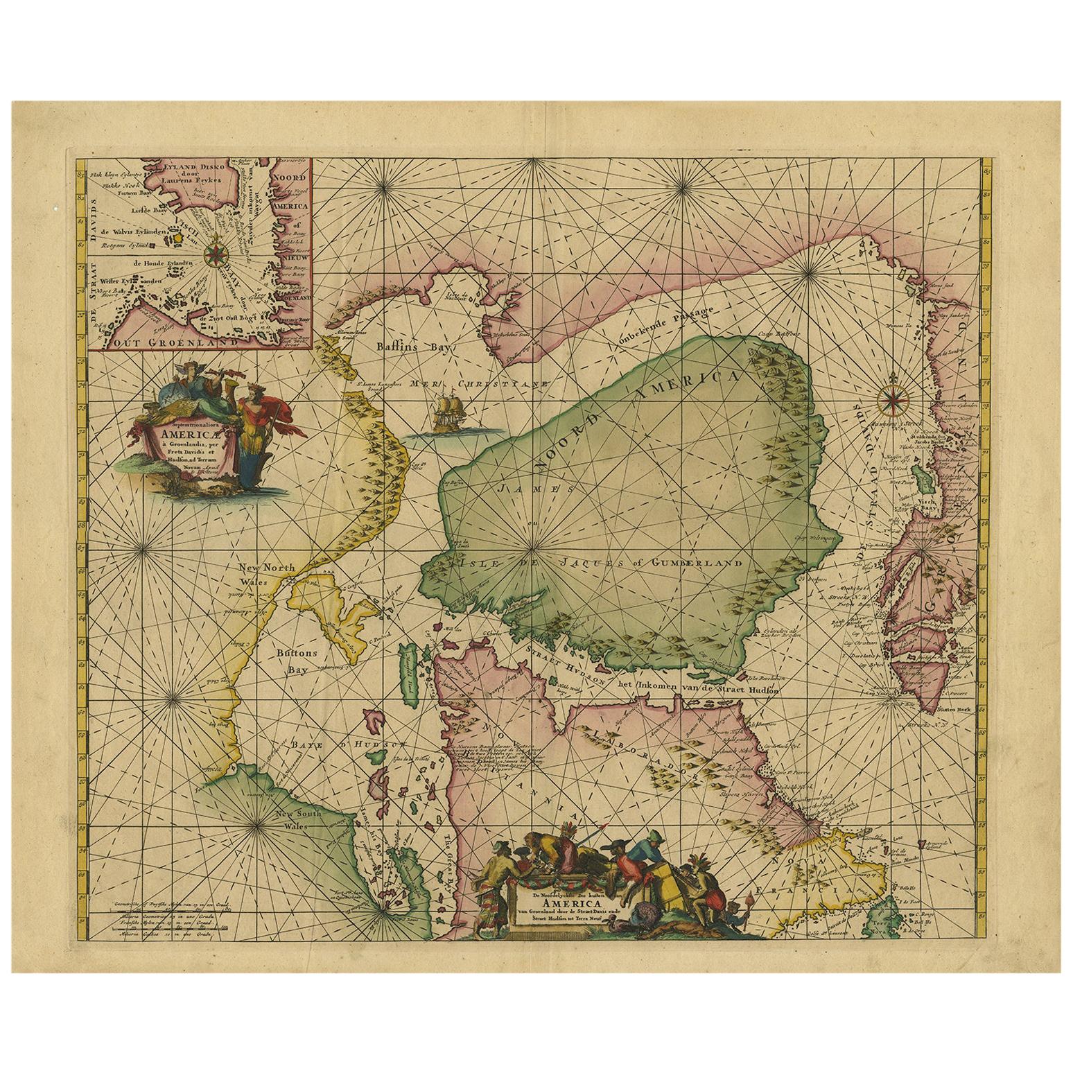
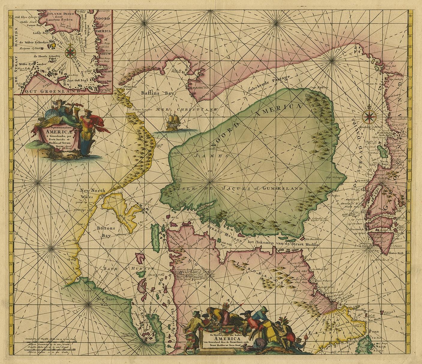
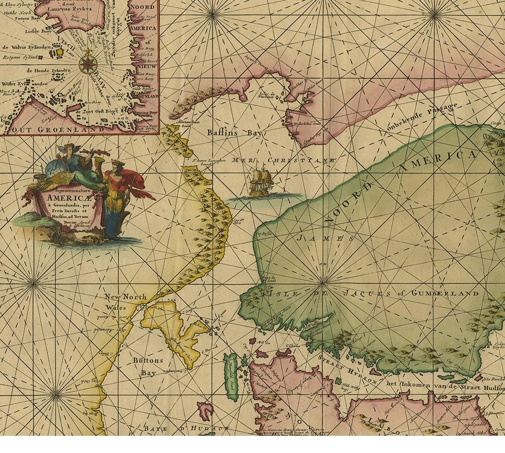
Antique map titled 'Septemtrionaliora Americae a Groenlandia (..)'. Sea chart of the northern waters of North America, including the coast of Labrador and part of New Foundland, the west coast of Greenland, Davis Strait, via a non-existent passage to Baffin Bay and via Hudson Strait to Hudson Bay. The inset gives a more detailed chart of the fishing grounds at Disko Bay on the Greenland coast. This chart was originally engraved by Frederick de Wit for his 1675 Atlas; it was revised for the 1745 edition of Otten's Sea Atlas ['Atlas van de Zeevaart'].

More from Sea Charts

Ask about this sheet

Greenland & North America – Antique Sea Chart by Frederick de Wit, 1745
1745 · Ref. PCT-59809 · € 3 500
We reply by email, usually within one working day.