Maps & PrintsBartele Gallery · Langweer
Home / Antique Maps / Europe / South-East Europe

South-East Europe · 18th century

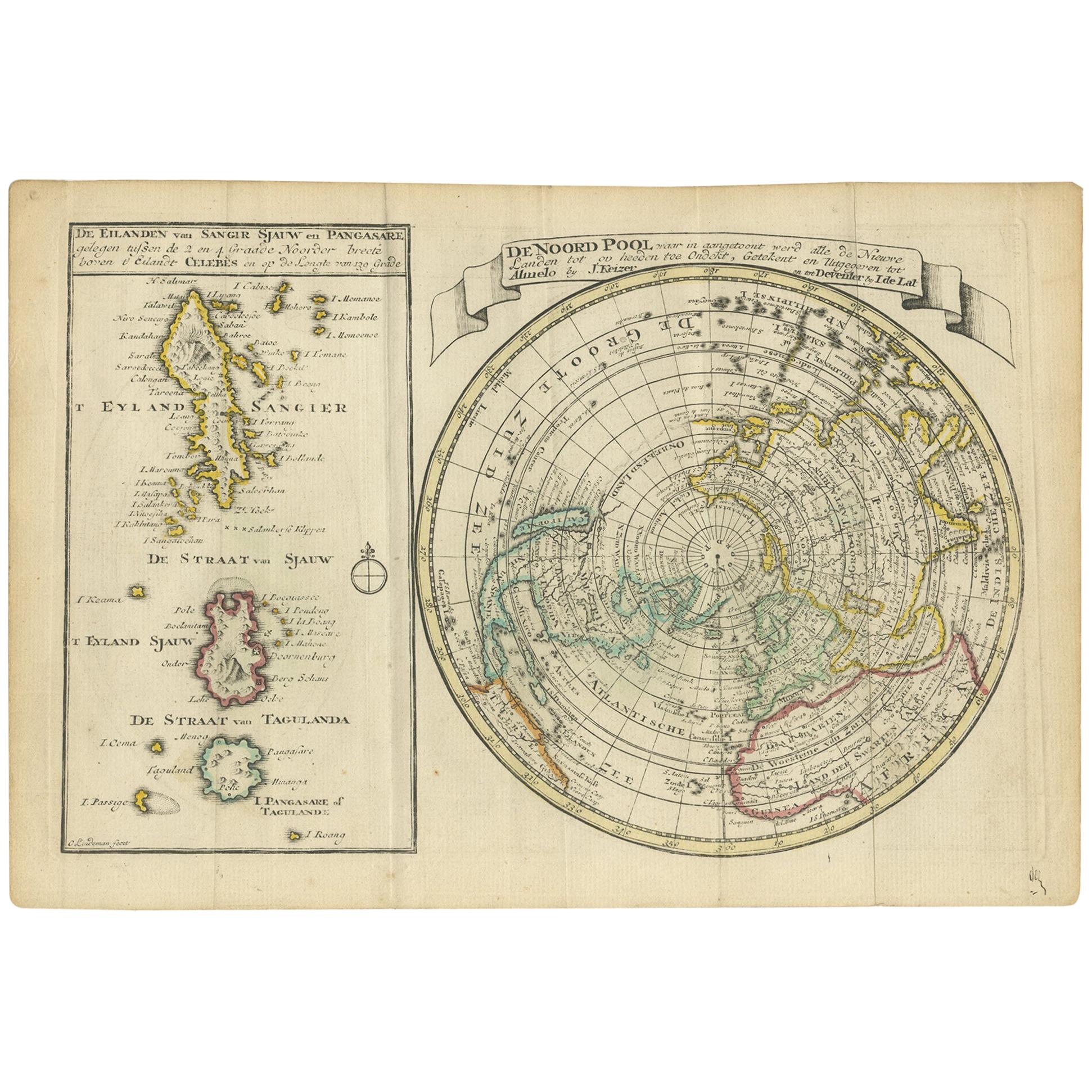
Antique Map of the North Pole & Sangihe Archipelago by Keizer & de Lat, 1788

€ 500

One of a kind: this is the sheet in the photographs. Ships from Langweer, the Netherlands.

Date
1788
Sheet size
20.5 × 30 cm (8.1 × 11.8 in)
Condition
Good
Reference
BG-12829-1

Condition

General age-related toning. Original folding lines. Original/contemporary hand coloring, blank verso. Minor wear, please study image carefully.
About this sheet

Antique map titled 'De Noord Pool waar in aangetoont werd alle de Nieuwe Landen (..) - De Eilanden van Sangir Sjauw en Pangasare (..)'. Interesting map that includes a map of the North Pole featuring the island of California with a narrow isthmus near the center of its eastern coast, and a faint coastline labeled, Onbekend Land, nearly connecting Asia and North America. A second map that takes up nearly a third of the sheet covers the volcanic islands of the Sangihe Archipelago in Indonesia.

This map originates from 'Nieuwe Natuur- Geschied- en Handelkundige Zak- en Reisatlas' by Gerrit Brender à Brandis. Published by J. Keizer and I. de Lat, 1788.

More from South-East Europe

Ask about this sheet

Antique Map of the North Pole & Sangihe Archipelago by Keizer & de Lat, 1788
1788 · Ref. BG-12829-1 · € 500
We reply by email, usually within one working day.