Maps & PrintsBartele Gallery · Langweer
Home / Antique Maps / Europe

Europe · 18th century

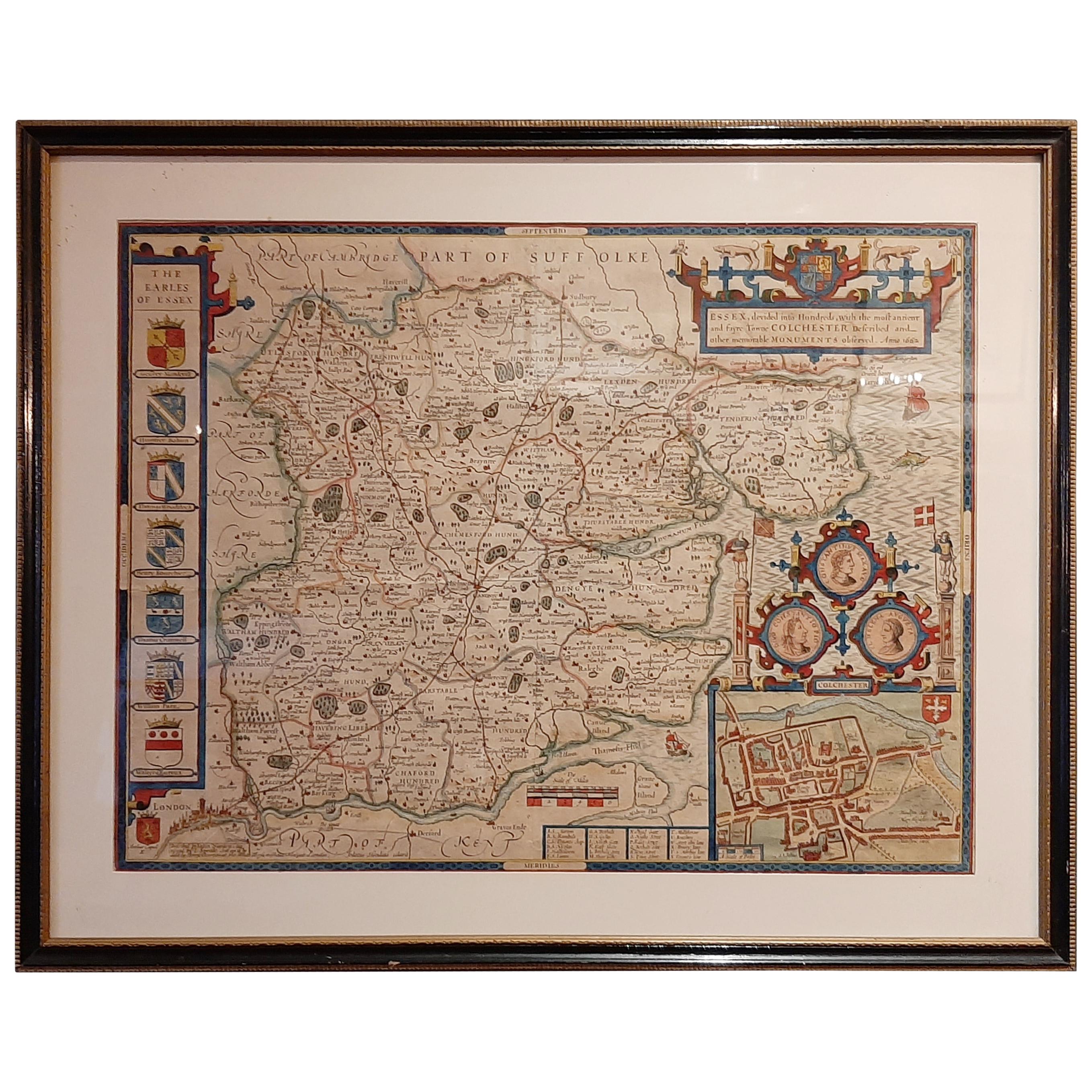
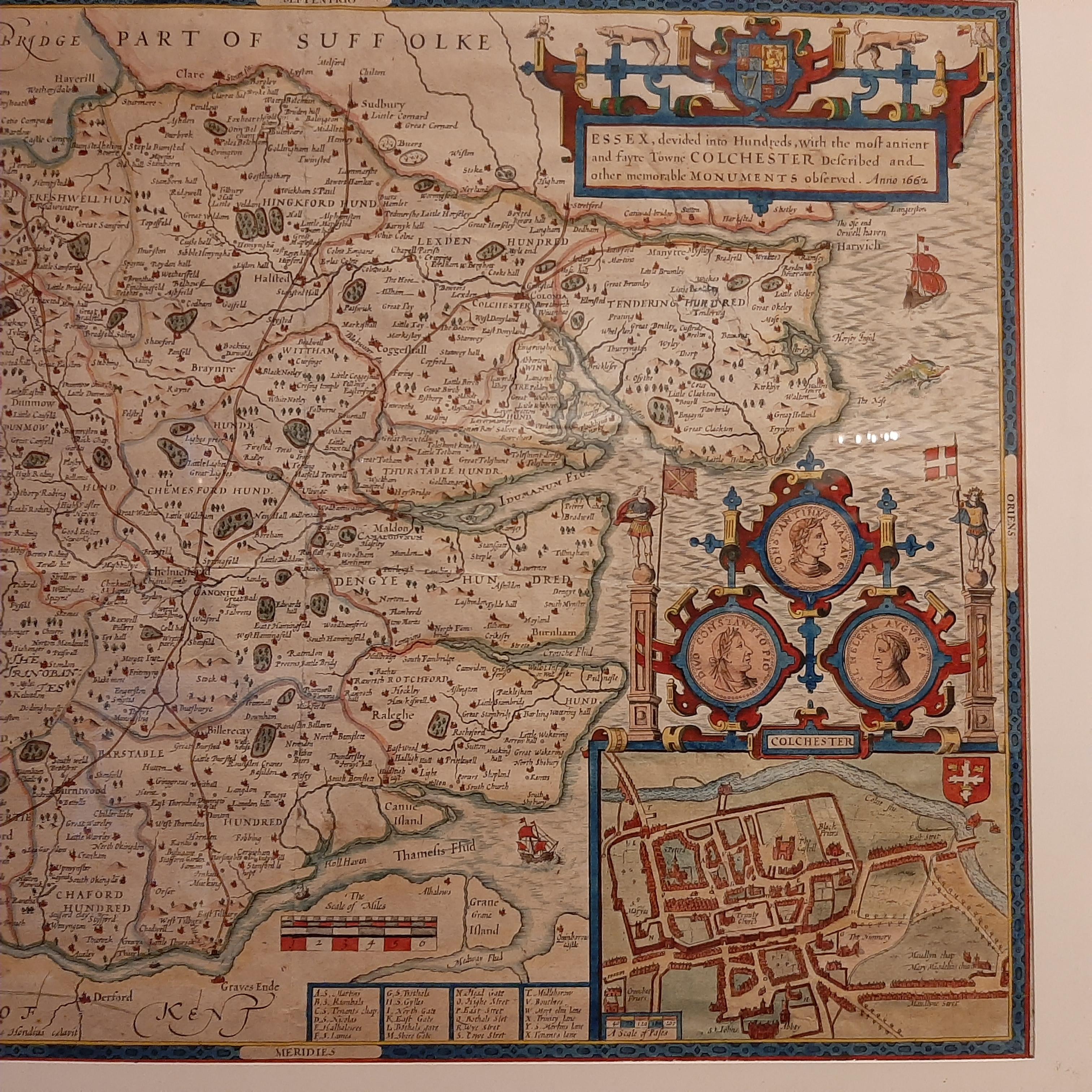
Antique Map of Essex by Overton, circa 1710

€ 950

One of a kind: this is the sheet in the photographs. Ships from Langweer, the Netherlands.

Date
1710
Sheet size
49.5 × 62 cm (19.5 × 24.4 in)
Condition
Good
Reference
BGJC-357

Condition

General age-related toning, shows a few repaired tears. Minor wear. Frame lightly used, few small defects. Please study images carefully.
About this sheet

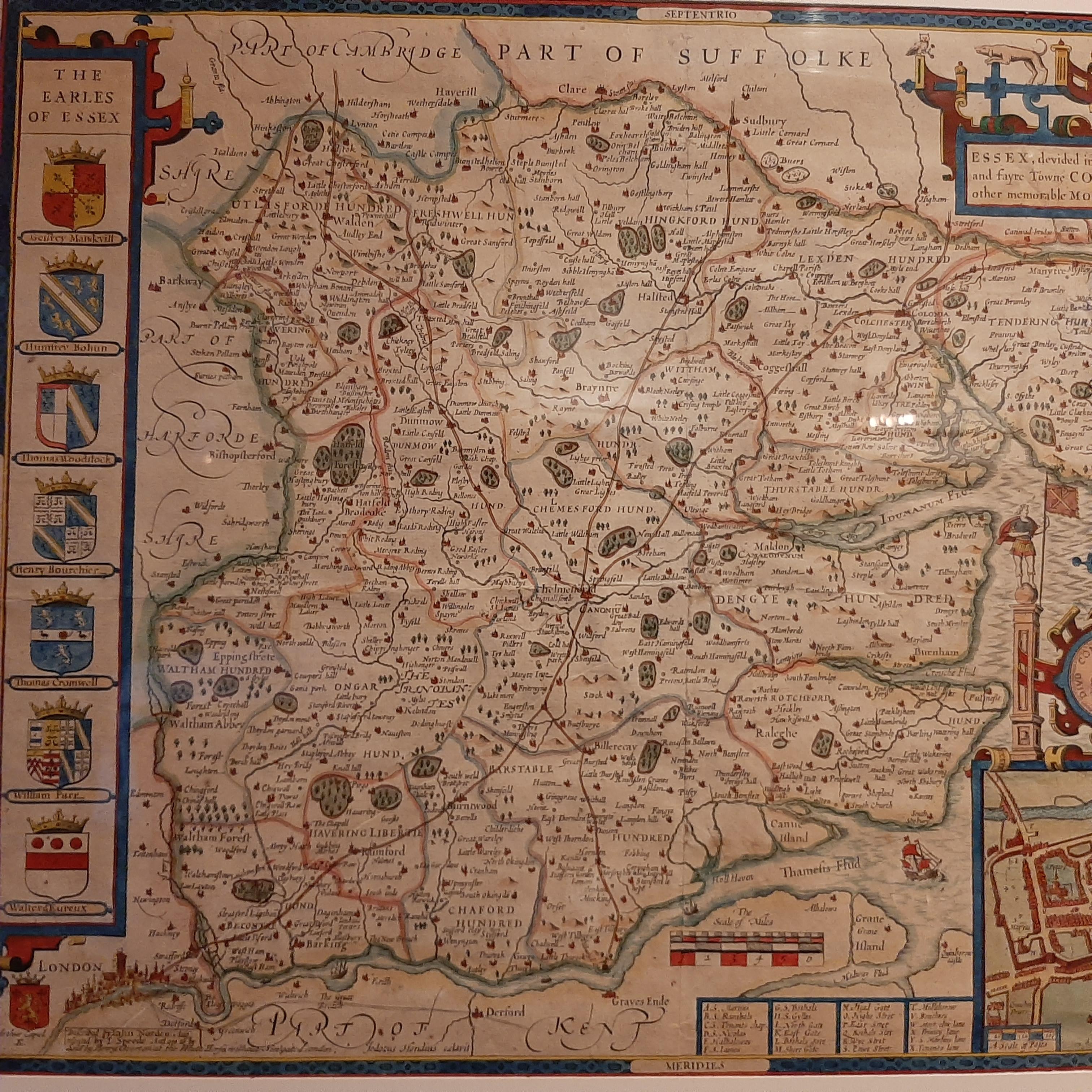
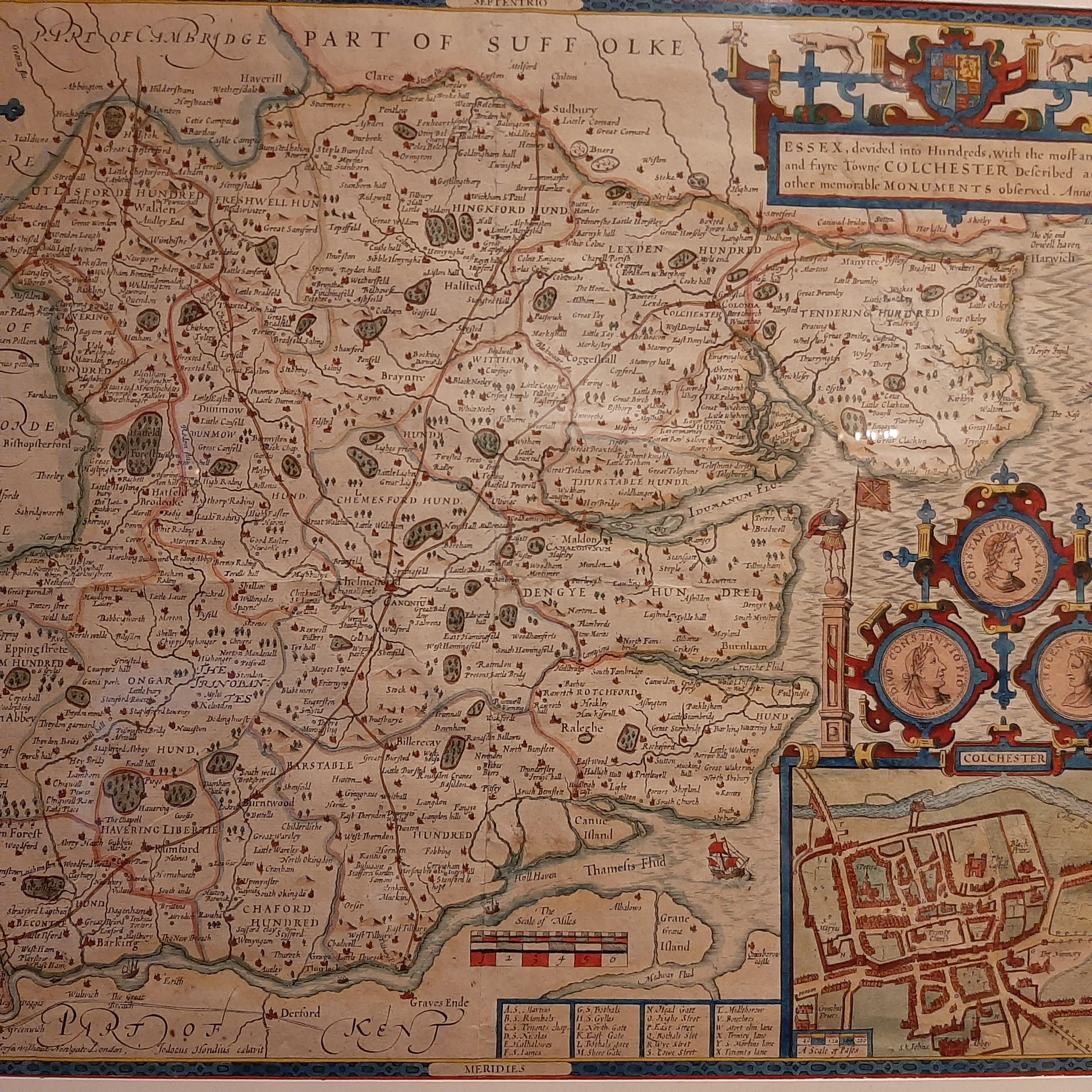
Antique map titled 'Essex, devided into Hundreds, with the most antient and fayre Towne Colchester (..)'. Map of Essex, England. Includes an inset town plan of Colchester. Published by Henry Overton, circa 1710.

Frame included. We carefully pack our framed items to ensure safe shipping.

More from Europe

Ask about this sheet

Antique Map of Essex by Overton, circa 1710
1710 · Ref. BGJC-357 · € 950
We reply by email, usually within one working day.