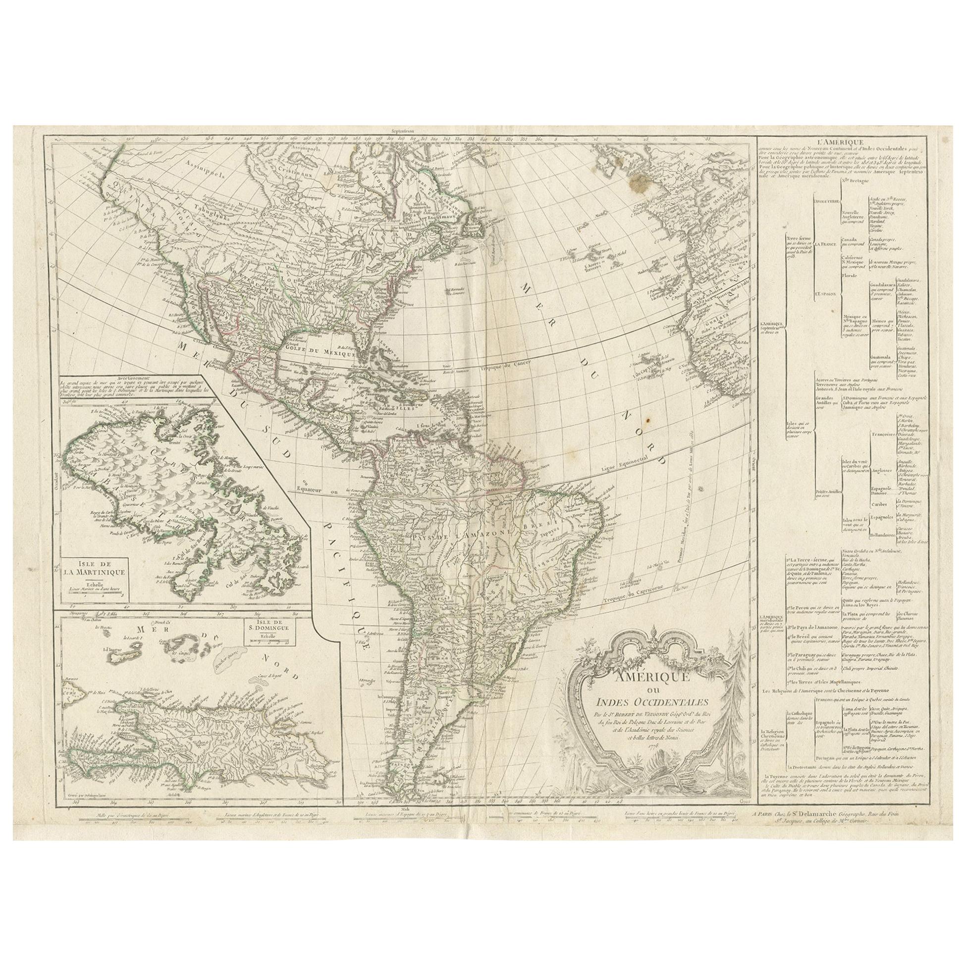
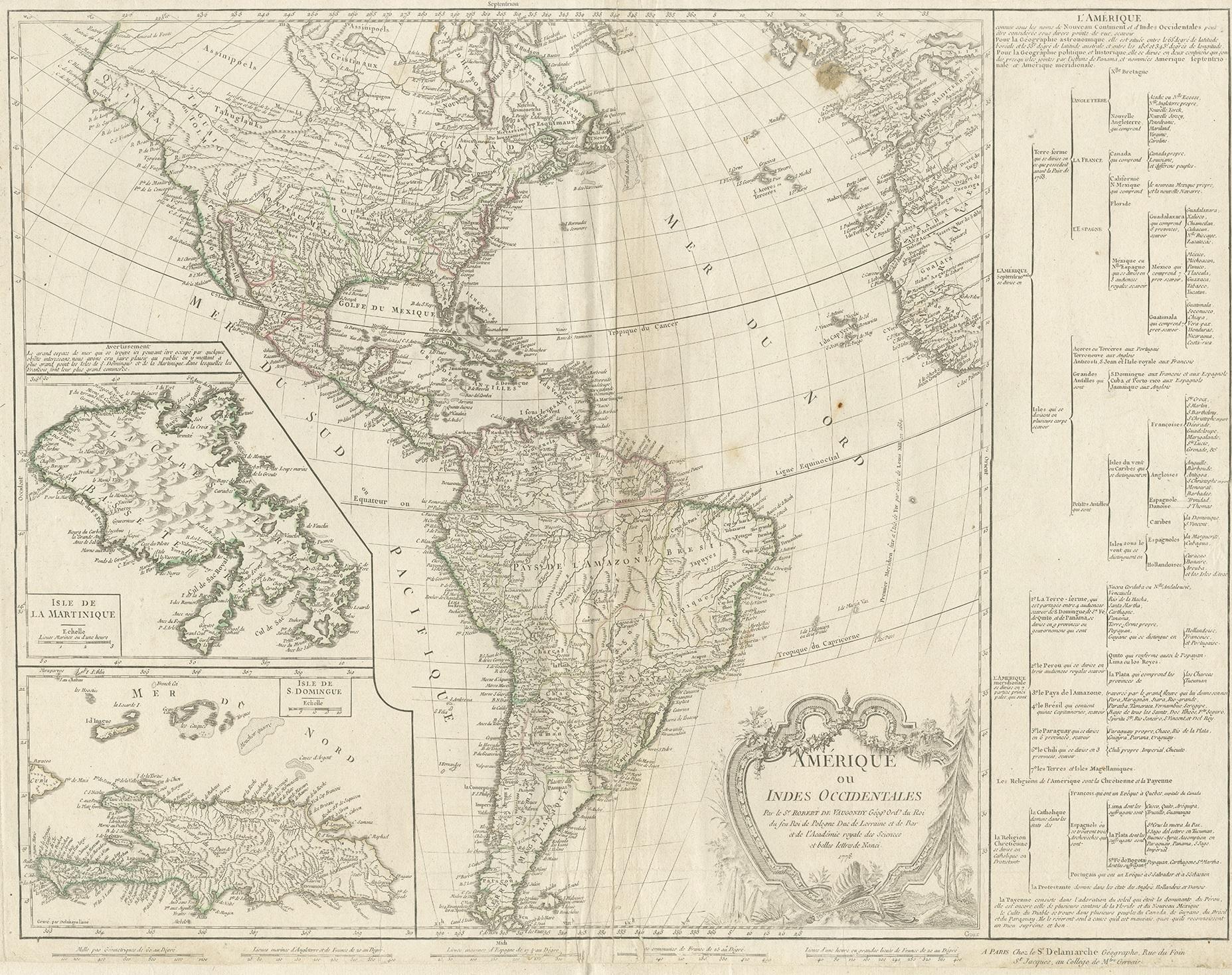
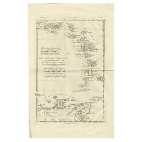
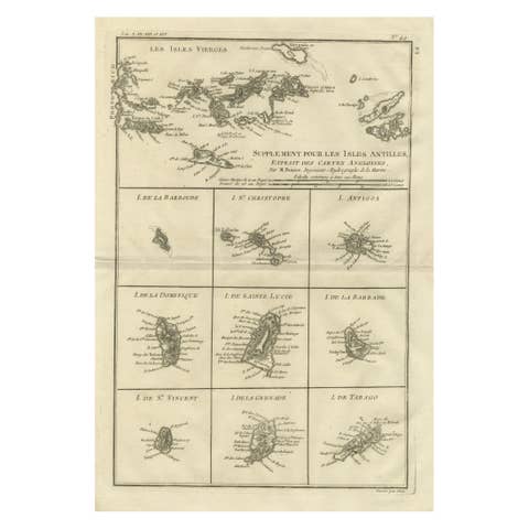
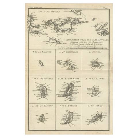
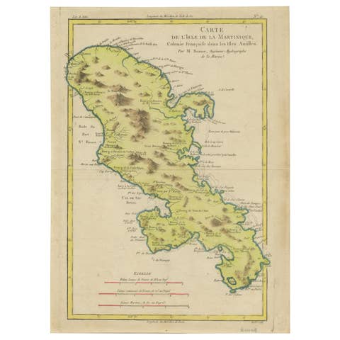
Antique Map of the Americas and West Indies by Robert de Vaugondy, 1778
€ 1 500
One of a kind: this is the sheet in the photographs. Ships from Langweer, the Netherlands.
Date
1778
Technique
Engraved
Sheet size
53 × 70 cm (20.9 × 27.6 in)
Condition
Fair
Reference
PCT-37326
Condition
Replacements made: Good condition overall. The map has light vertical folding, as issued, with some minor restoration along the centerfold. Faint spotting may be present, especially in the upper areas. Paper remains stable, and the impressions are clear and legible. Repaired: General age related toning and light staining. Worm holes at lower middle fold and bottom margin; paper separation lower middle fold, backed by identical paper. Irregular paper edges, chipped with small tears, backed by identical paper. General age related toning and light staining. Shows some creasing and wear. Please study images carefully.
About this sheet
Antique Map of the Americas and West Indies by Robert de Vaugondy, 1778
This detailed antique map titled "Amérique ou Indes Occidentales" was published in 1778 by the renowned French cartographer Robert de Vaugondy. It offers a richly informative and speculative depiction of the Americas just before the era of scientific mapping brought about by the voyages of Captain Cook. Drawn during the Age of Enlightenment, this map captures both the growing accuracy of geographic knowledge and the persistence of long-held myths and theories about unexplored regions.
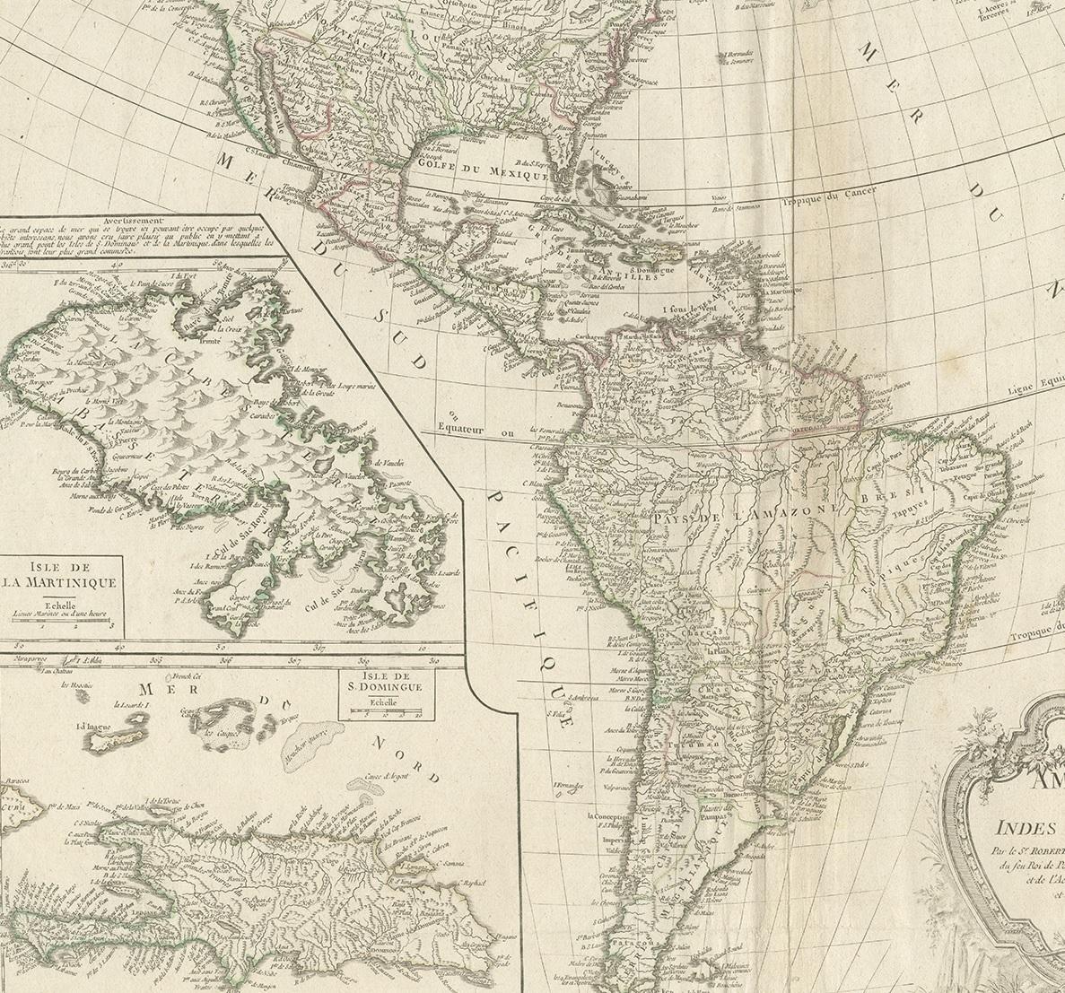
The map displays North and South America in full, accompanied by two large insets of Martinique and Saint-Domingue (now Haiti). These inset maps are finely engraved, showing settlements, rivers, fortifications, and coastal details, reflecting France's strong colonial and economic interest in the Caribbean during the 18th century.
A particularly intriguing aspect of the map is the treatment of the Pacific Northwest. The coastline is dramatically extended to the west, with numerous mythical rivers running from the Pacific inland. Among these is the legendary "Rivière de l’Ouest" (River of the West), a long-theorized water route connecting the Pacific Ocean to the interior of the continent, eventually joining the Mississippi River. These speculative waterways reflect the enduring influence of reports from explorers such as Admiral De Fonte and Martin d’Aguilar. In the southwestern part of North America, more hypothetical branches of these rivers wind across regions yet to be fully explored or mapped.
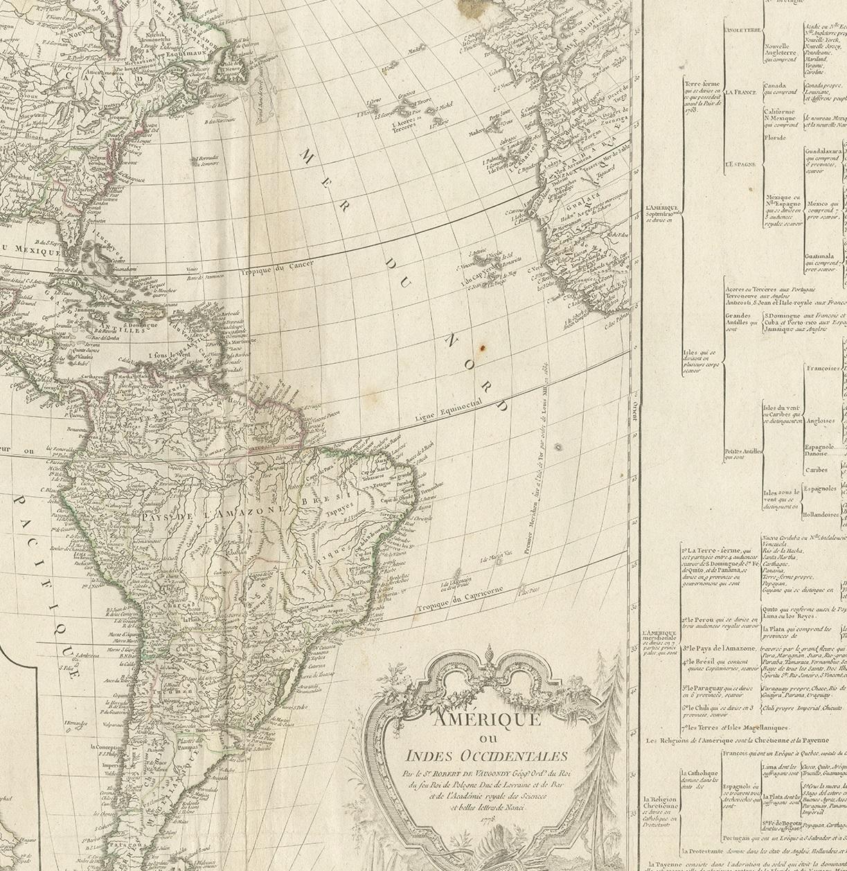
In addition to geographic detail, the map includes a genealogical chart on the right-hand side, outlining colonial possessions and political divisions among the European powers in the Americas. This gives the map both a geographic and colonial administrative dimension, offering valuable insight into how Europe viewed and structured the New World in the late 18th century.
Condition report: Good condition overall. The map has light vertical folding, as issued, with some minor restoration along the centerfold. Faint spotting may be present, especially in the upper areas. Paper remains stable, and the impressions are clear and legible. Insets are sharply rendered.
Framing tips: Given the refined black-and-white engraving and touches of hand-coloring, a dark walnut or black wood frame would complement the piece well. An ivory or antique white mat will help draw focus to the map's fine lines and cartouches. Use museum glass to protect the paper and preserve the crisp detailing. This map is a strong decorative and scholarly piece, ideal for display in libraries, studies, offices, or history-themed interiors.