Maps & PrintsBartele Gallery · Langweer
Home / Antique Maps / Europe / Western Europe / United Kingdom & Ireland

United Kingdom & Ireland · 18th century

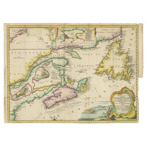
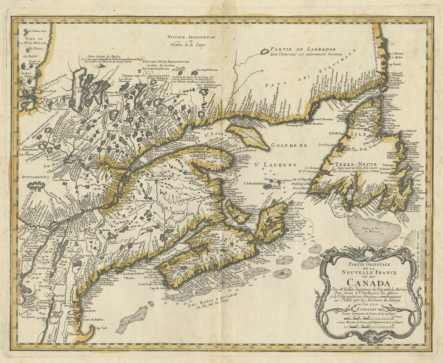
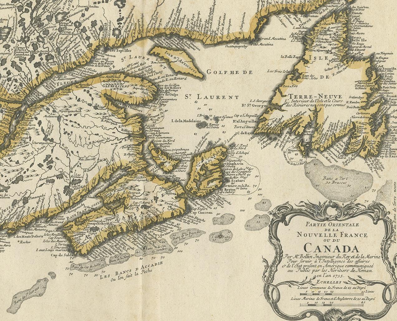
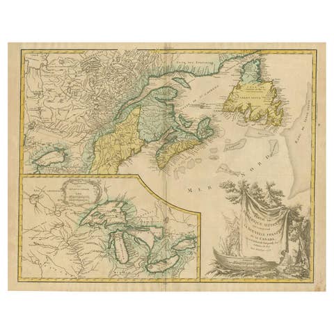
Antique Map of New England and Eastern Canada by Homann Heirs, circa 1755

€ 2 000

One of a kind: this is the sheet in the photographs. Ships from Langweer, the Netherlands.

Date
1755
Technique
Engraved
Sheet size
53.5 × 61.5 cm (21.1 × 24.2 in)
Condition
Good
Reference
PCT-56384

Condition

Good, given age. Original middle fold, as issued. Some light soiling and foxing mostly near middle fold and in margins. General age-related toning and/or occasional minor defects from handling. Please study images carefully.
About this sheet

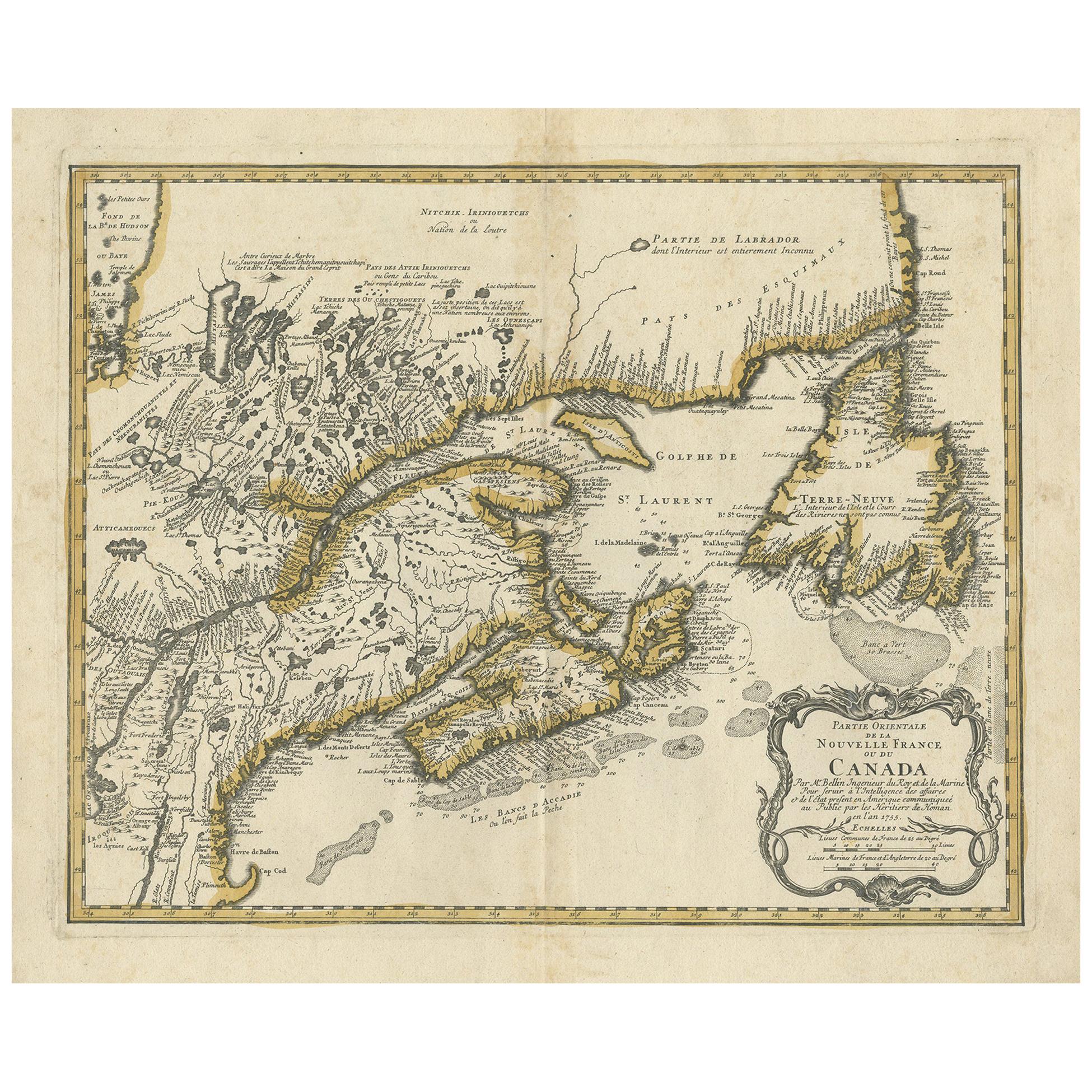
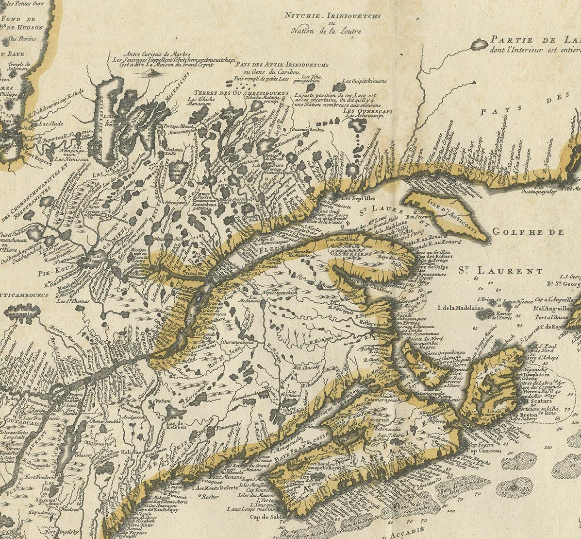
Antique map titled 'Partie Orientale de la Nouvelle France ou du Canada (..)'. Original antique map of New England and Eastern Canada made after J.N. Bellin. The map extends from Lake Ontario, the St. Lawrence River and Cape Cod in the South to Hudson Bay, Cape Rond and Newfoundland in the Northeast. Published by Homann Heirs, circa 1755.

More from United Kingdom & Ireland

Ask about this sheet

Antique Map of New England and Eastern Canada by Homann Heirs, circa 1755
1755 · Ref. PCT-56384 · € 2 000
We reply by email, usually within one working day.