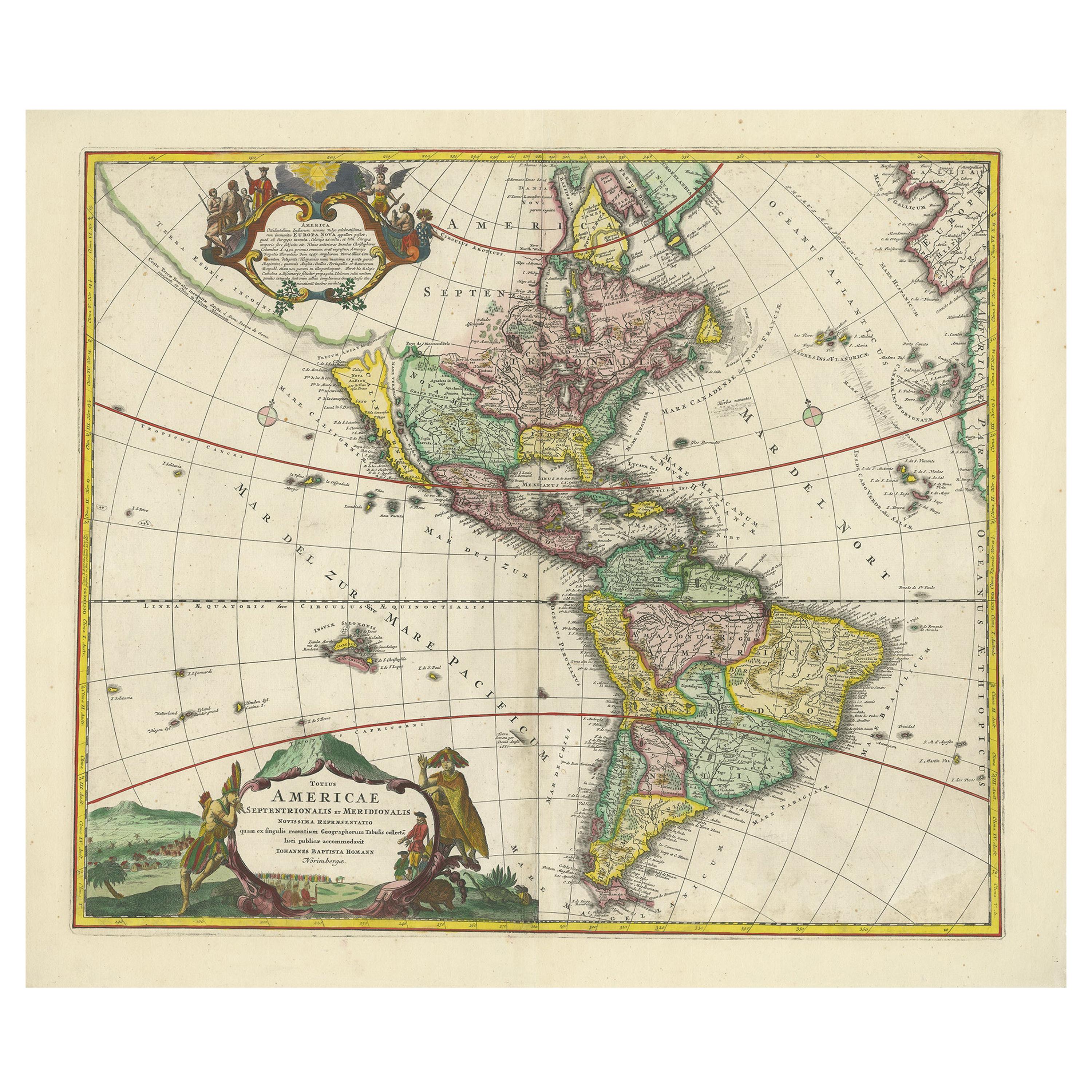
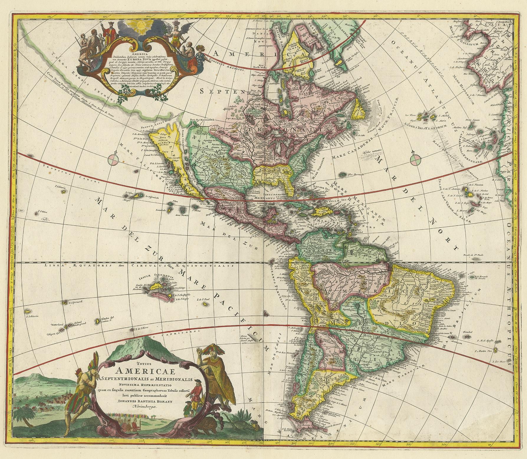
Antique Map of America with California as an Island by Homann '1710'
€ 2 500
One of a kind: this is the sheet in the photographs. Ships from Langweer, the Netherlands.
Date
1710
Sheet size
56 × 66 cm (22.0 × 26.0 in)
Condition
Good
Reference
BG-12815
Condition
Repaired: Repair on folding line. General age-related toning. Professionally restored on folding line and plate marks. Minor wear, blank verso. Please study images carefully.
About this sheet
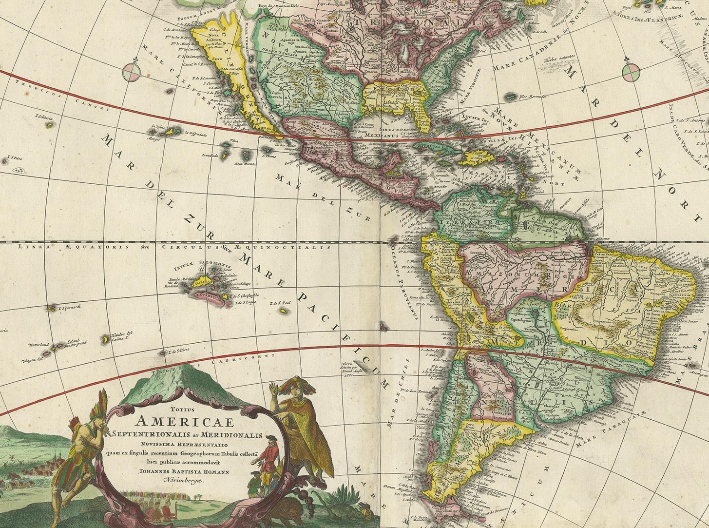
This antique map, titled "Totius Americae Septentrionalis et Meridionalis," represents a significant cartographic piece from 1710 by Johann Baptist Homann. Here's a description of this remarkable map:
- Title: Totius Americae Septentrionalis et Meridionalis (...) - Date: Published in 1710 by Johann Baptist Homann. This map is a first edition of Johann Baptiste Homann's map of America, and it is notable for several cartographic features and historical representations:
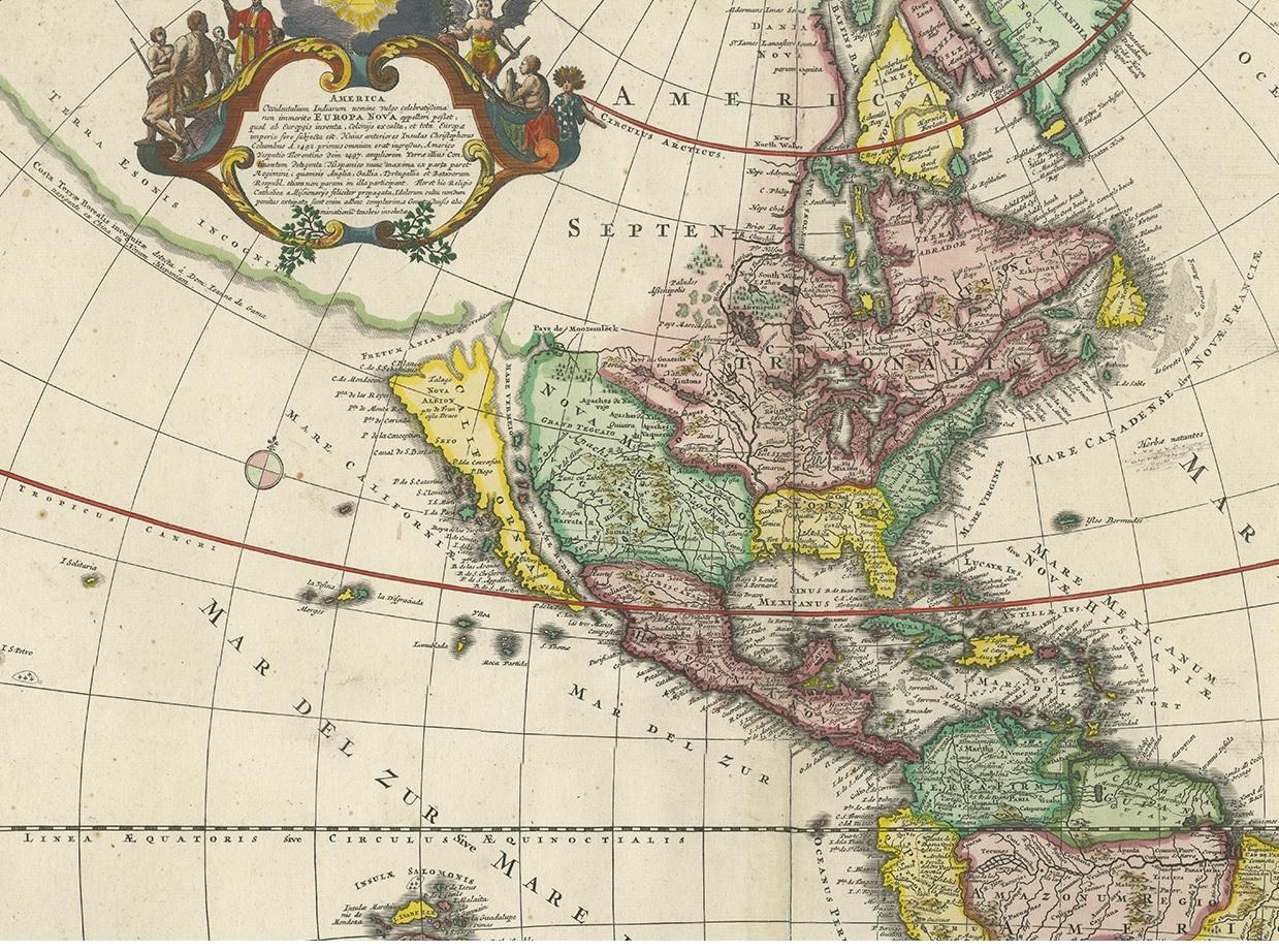
1. California as an Island: One of the most distinctive features of this map is the depiction of California as an island. This was a common misconception among cartographers of the time and persisted for several years before being corrected.
2. Straits of Anian: The map shows the Straits of Anian, which were believed to be a potential Northwest Passage, forming a connection between California and the mythical Terra Esonis. This representation reflects the curiosity and exploration of the era when the geography of North America was still being explored and understood.
3. Pays de Moozemleck: East of the Straits of Anian, you can see the "Pays de Moozemleck," a toponym that remained relatively consistent in Homann's maps of America. Despite changes in the depiction of California, this landmark remained largely unchanged, resulting in a somewhat perplexing shift from a coastal to a seemingly landlocked position.
4. Great Lakes and Mississippi River: The map provides detailed information about the Great Lakes and the course of the Mississippi River. The representation of the Mississippi River reflects the explorations conducted by early French Jesuits, with its sources extending farther north than on maps produced a few decades earlier.
5. Le Moyne's Mythical Lake: In the southeastern United States, you can observe a lake with a mystical quality. This lake is associated with Le Moyne's earlier explorations and remained on maps as a reference point.
This antique map offers valuable insights into the evolving understanding of the American continent during the early 18th century. It captures the geographical knowledge, myths, and exploratory spirit of the era and is a significant piece of cartographic history.