maps-prints.com
✦
Black Friday Sale
Friday 20 to Monday 30 November: up to 30% off original antique maps and prints
The terms
- Up to 30% off selected original antique maps and prints. Every piece is an original, printed in its own time; none is a reproduction.
- The sale runs from Friday 20 November to Monday 30 November. Sale prices shown here apply from Friday 20 November; until then pieces are sold at their regular price.
- Free FedEx shipping on qualifying orders placed on our own websites: USA, Canada, UK and Europe over $500 / €450; rest of the world over $750 / €675. Smaller orders pay our normal shipping rate.
- Orders placed from 15 to 30 November ship from 1 December, in time for Christmas. Our shipping partner is InXpress.
- Each piece is unique, so the sale is while stock lasts.
Collection:AllAmericanSea chartsMilitaryNatural historyFashionArchitectureBotanicalSacredEast Indies
Sale prices apply from Friday 20 November. Save the pieces you like with the heart and come back on Friday.
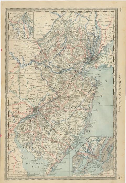 New Jersey Antique Map – The Garden State, Railroads & Counties, c.1888
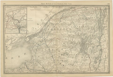 Antique Map of Northern New York – Rand McNally, circa 1888
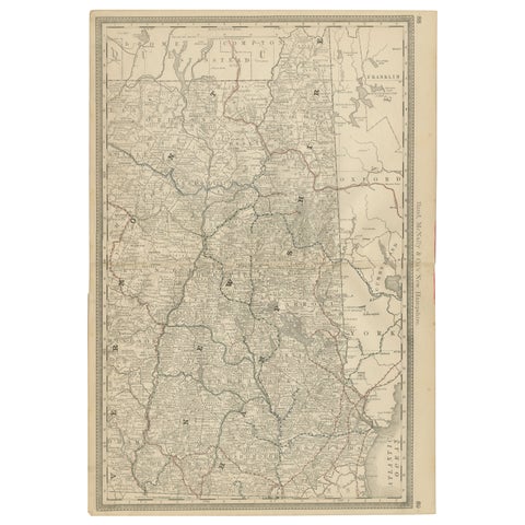 New Hampshire Antique Railroad Map c.1888 – Granite State Counties & Cities
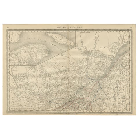 Quebec Antique Railroad Map c.1888 – La Belle Province, Cities & Towns
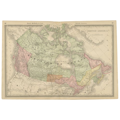 Canada Antique Railroad Map c.1888 – British America, Cities & Regions
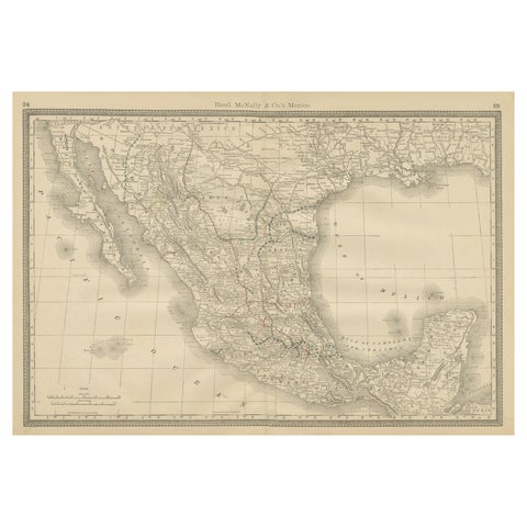 Mexico Antique Railroad Map c.1888 – Cities, States & Land of the Aztecs
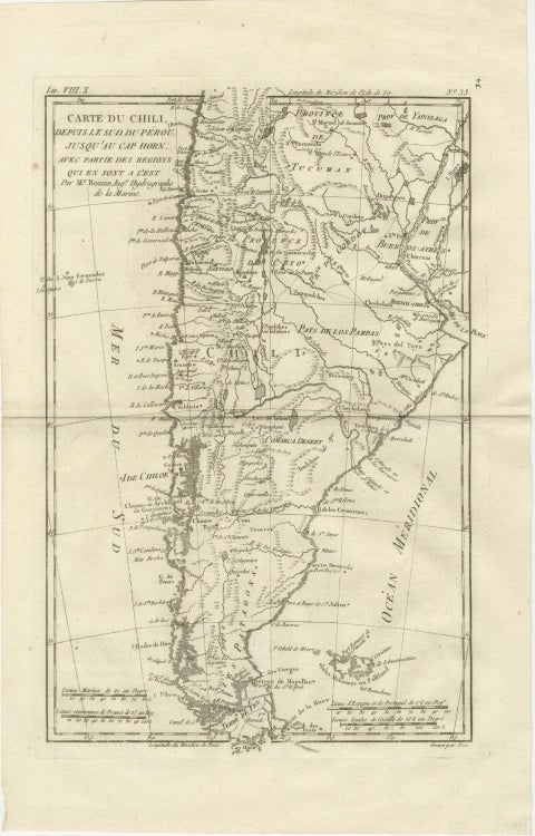 Chile from Peru to Cape Horn – Enlightenment Map by Rigobert Bonne, c.1780
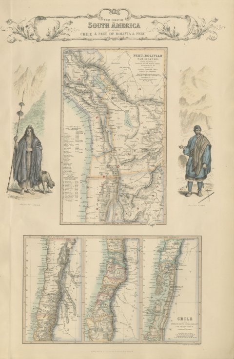 Antique Map of the West Coast of South America with Costume Figures, circa 1860
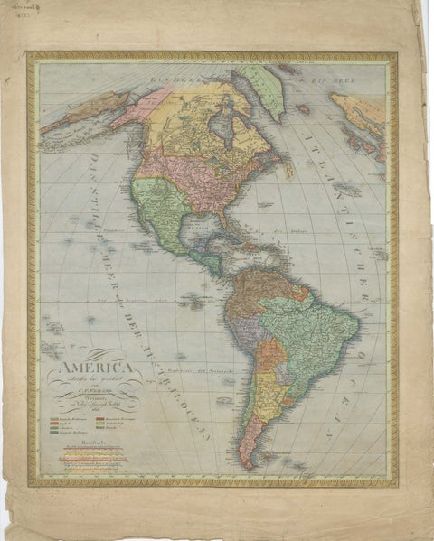 Large Antique Map of North & South America by Weiland, 1826
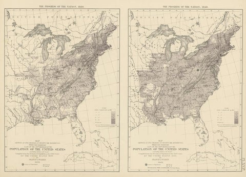 Pl. 16A Antique Chart of the US Population 1830-1840 by Walker, 1874
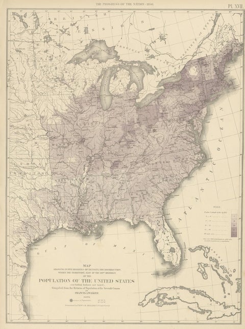 Pl. 17 Antique Chart of the US Population 1850 by Walker, 1874
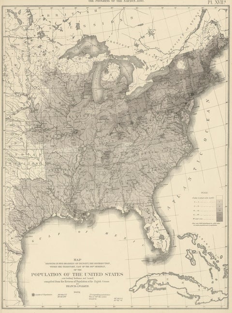 Pl. 17A Antique Chart of the US Population 1860 by Walker, '1874'
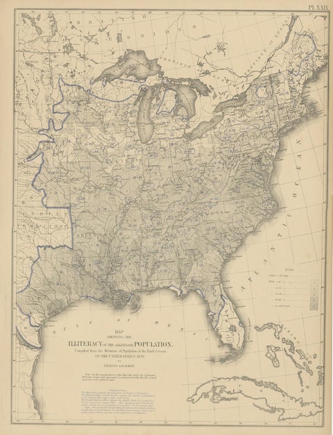 Pl. 29 Antique Chart of the US Illiteracy in 1870, '1874'
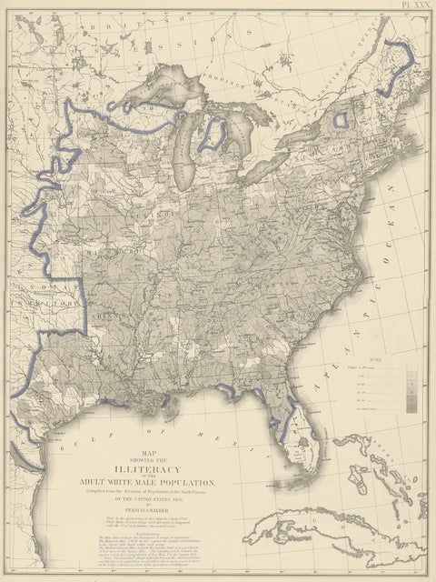 Antique Chart of the US Adult Male Illiteracy in 1870, '1874'
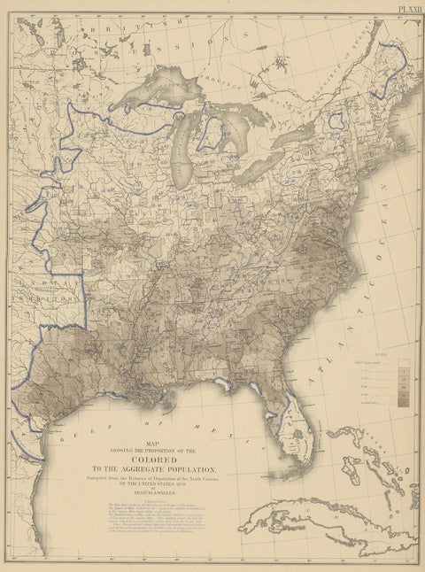 Pl. 22 Antique Chart of the US Colored Population Proportion in 1870, '1874'
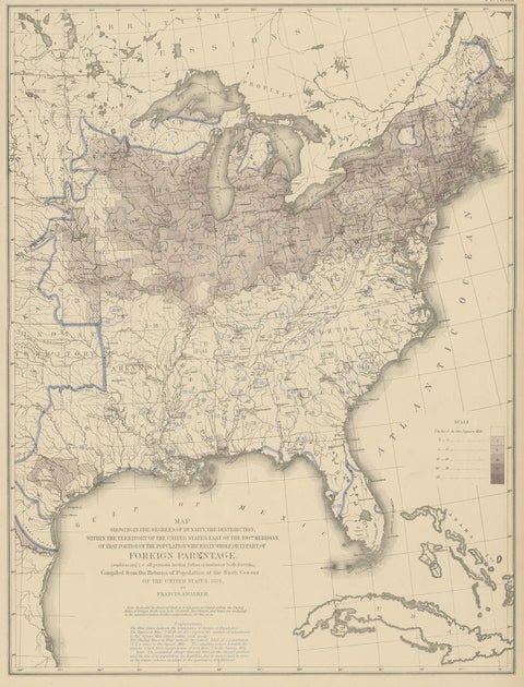 Pl. 23 Antique Chart of the US Foreign Parentage in 1870, '1874'
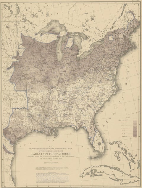 Antique Chart of the US Foreign Parentage Proportion in 1870, '1874'
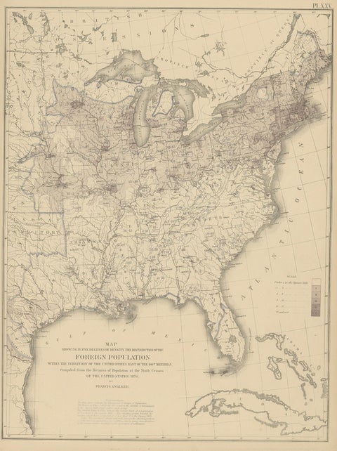 Pl. 25 Antique Chart of the US Foreign Population in 1870, '1874'
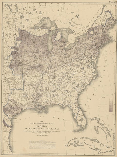 Pl. 26 Antique Chart of the US Foreign Population Proportion in 1870, '1874'
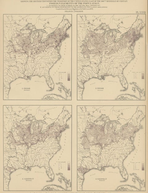 Antique Chart of the US Irish and German Population in 1870, '1874'
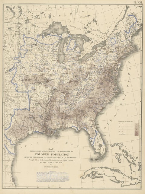 Pl. 21 Antique Chart of the US Colored Population Density in 1870, '1874'
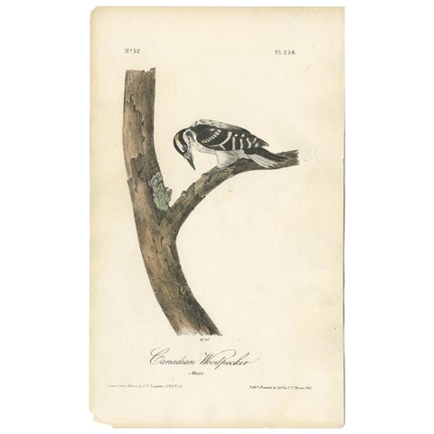 Antique Bird Print of the Canadian Woodpecker by Audubon, c.1840
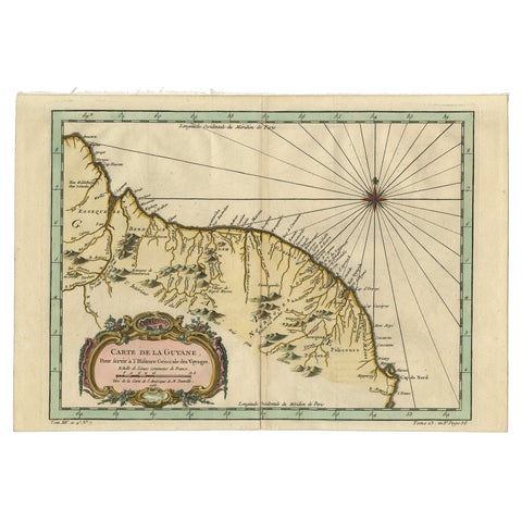 Old Map of Guyana, Suriname and French Guiana with Paramaribo and Cayenne, c1760
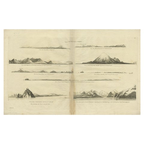 Antique Map of the West Coast of America with Island Views, ca.1784
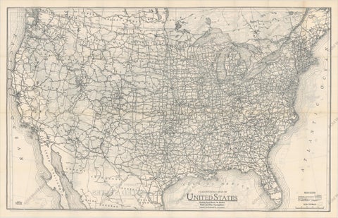 Old Map of the American Railroad Network and All Weather Roads on Verso, 1931
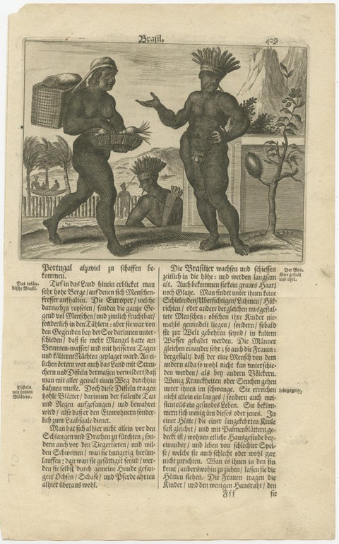 Daily Life in Brazil in the early 17th Century on a Copper Engraving by Montanus
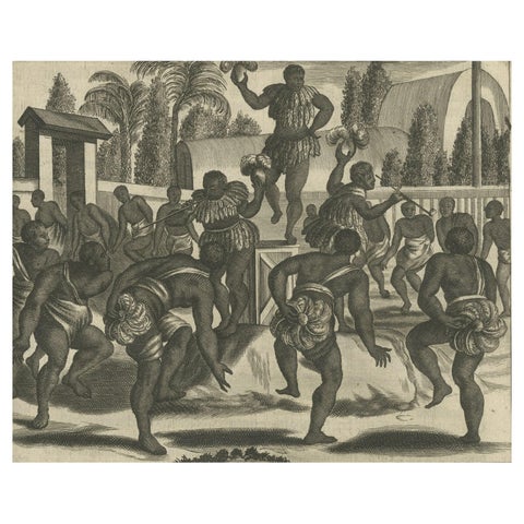 Ritual Dance in Brazil in the 17th Century on a Copper Engraving by Montanus
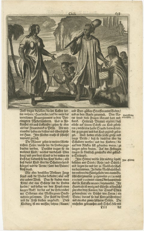 Scenes from 17th Century Chile: A Glimpse of Early Indigenous Cultures, 1673
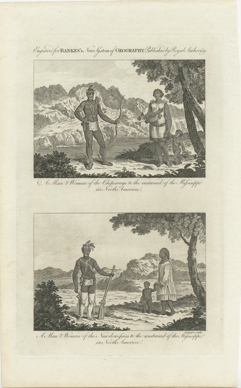 Engraved Representations of North American Tribes around the Mississippi, 1787
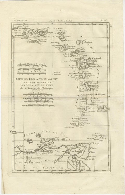 Caribbean & Lesser Antilles – Enlightenment Map by Rigobert Bonne, c.1780
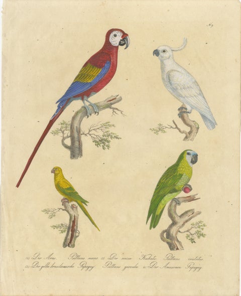 Macaw, Cockatoo & Amazon Parrots, Brodtmann Hand-Colored Lithograph, 1816
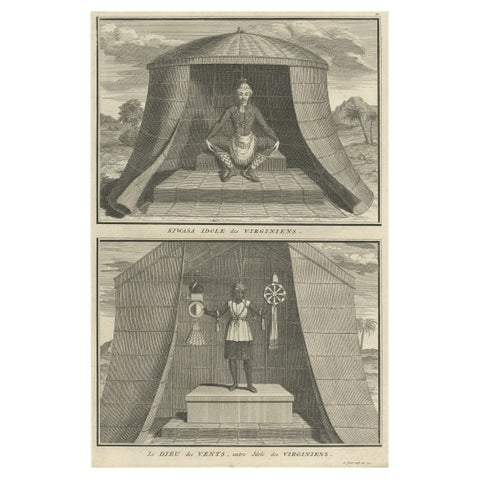 Engraving of Idols of Secotam Village in Virginia 'or now North Carolina', 1721
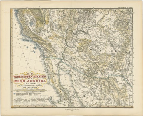 Antique Map of Part of the United States Including Lower California & Arizona
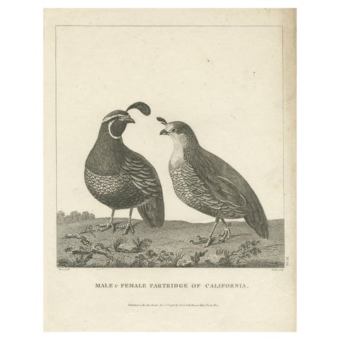 Antique Print of a Male and Female Partridge of California
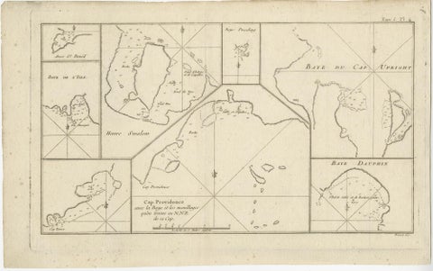 Antique Map of Cape Providence & St. David’s Cove – Strait of Magellan, 1774
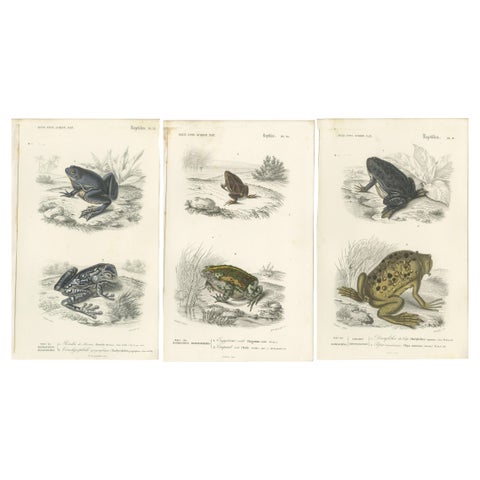 Set of 3 Antique Prints of Frogs and Toads
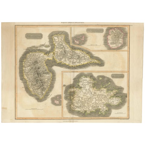 Large Antique Map of Guadeloupe and Antigua with Adjacent Isles, 19th Century
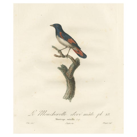 1807 American Redstart Illustration - 'Le Moucherolle doré mâle' Old Bird Print
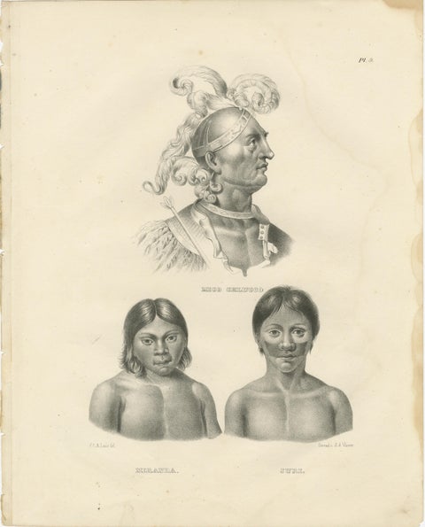 Portraits of Mico Chlucco, Miranda, and Juri by Karl Joseph Brodtmann, 1836
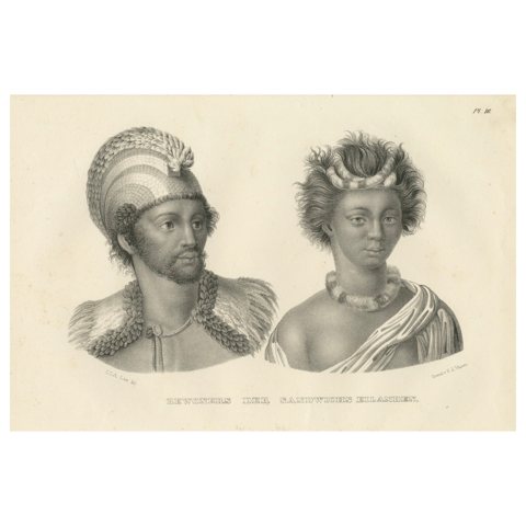 Inhabitants of the Sandwich Islands (Hawaii) by Brodtman, 1835
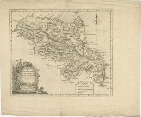 18th Century Original Dutch Map of Martinique in The West Indies by Isaak Tirion
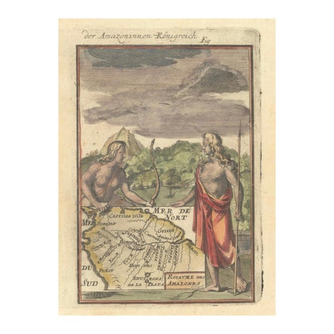 1684 Mallet Map of Amazon River & Kingdom of Amazons – Hand Colored, Miniature
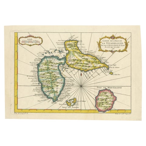 1758 Bellin Map of Guadeloupe and Marie-Galante – Caribbean Islands
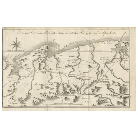 Antique Map of the Environs of Cap-Français, Saint-Domingue, c.1760
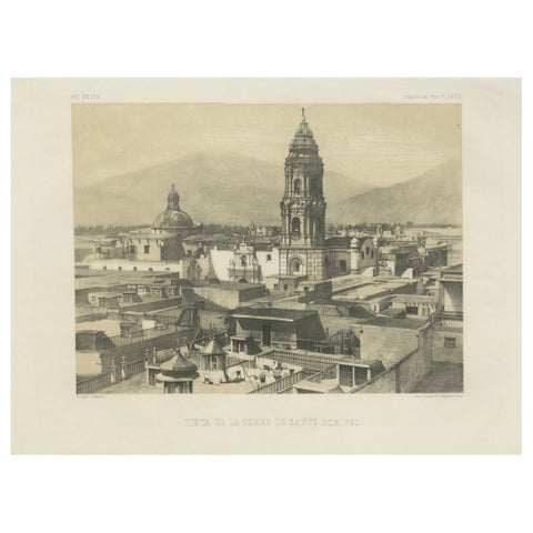 Santo Domingo Tower Lima Peru – Antique Lithograph c.1865
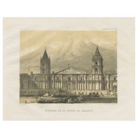 Cathedral of Arequipa Peru – Antique Architectural Lithograph c.1865
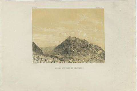 Peru Mining Mountain of Hualgayoc – Antique Lithograph, 1865
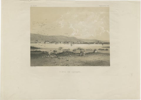 Iquique Peru (Now Chile) – Antique Coastal City Lithograph c.1865
Sharing the sale? Download the Black Friday banners.