1758 Bellin Map of Guadeloupe and Marie-Galante – Caribbean Islands
€ 440
One of a kind: this is the sheet in the photographs. Ships from Langweer, the Netherlands.
Date
1758
Sheet size
25.1 × 35.8 cm (9.9 × 14.1 in)
Condition
Excellent
Reference
BG-13618-19
Condition
Excellent condition. Strong and clean impression on fine laid paper with wide margins. Original hand coloring in outline and wash, highlighting coastlines and cartouches. Minor age toning at edges; verso blank.
About this sheet
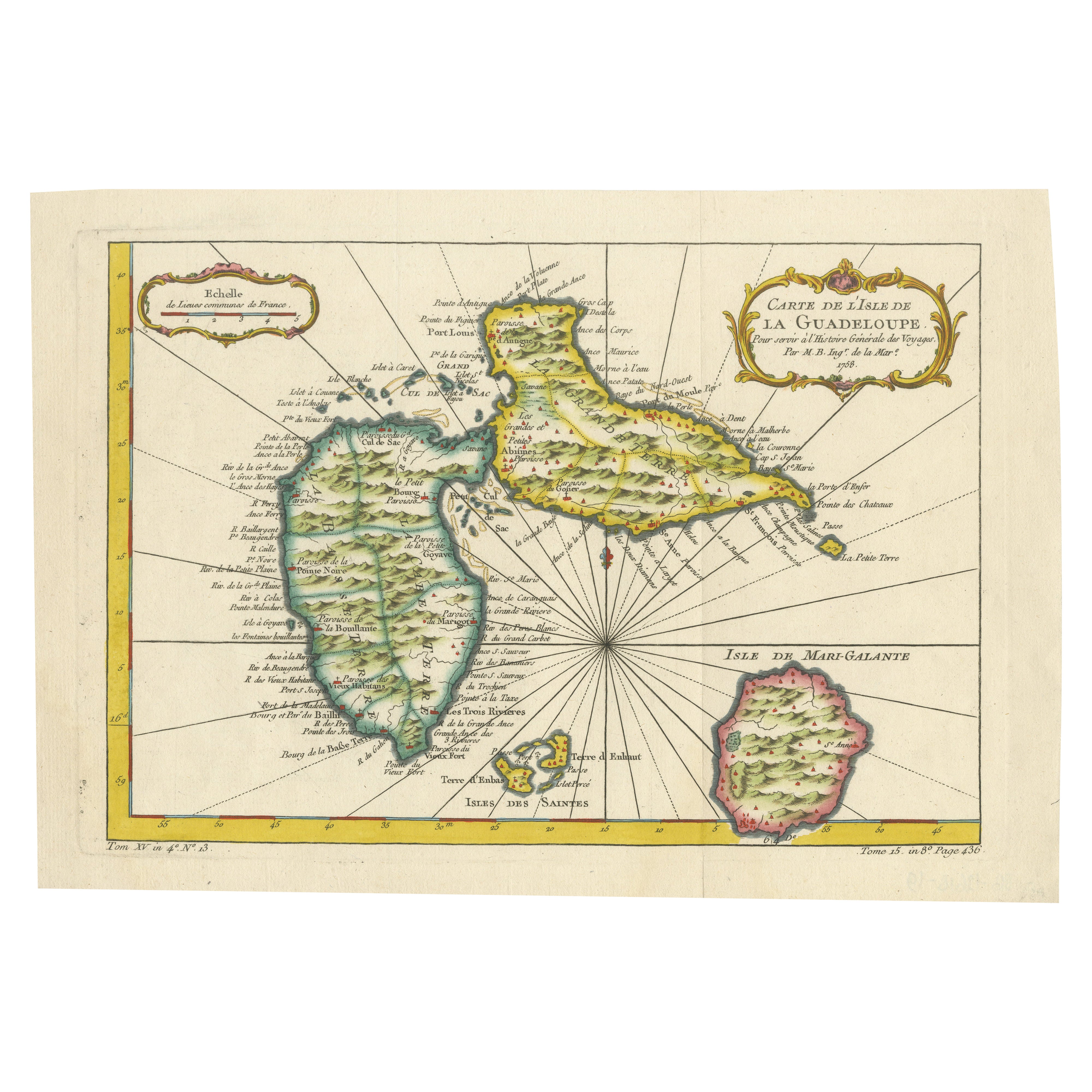
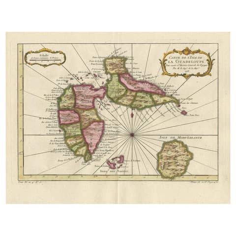
1758 Bellin Map of Guadeloupe and Marie-Galante – Caribbean Islands
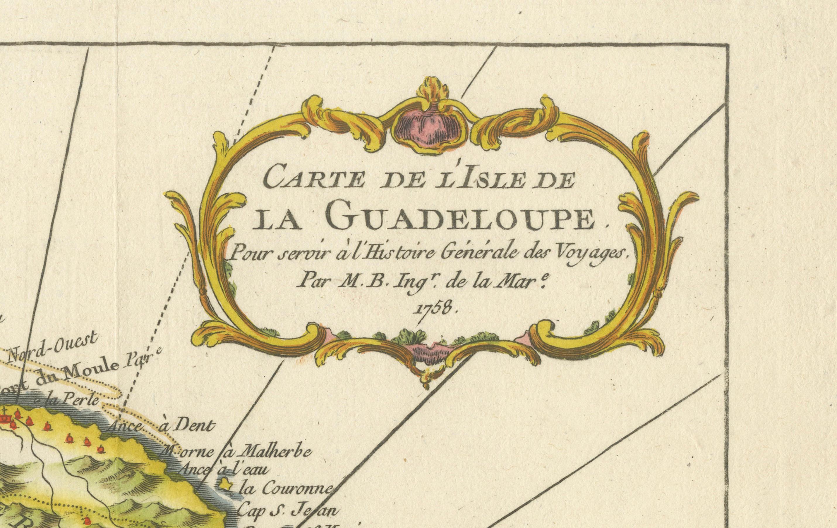
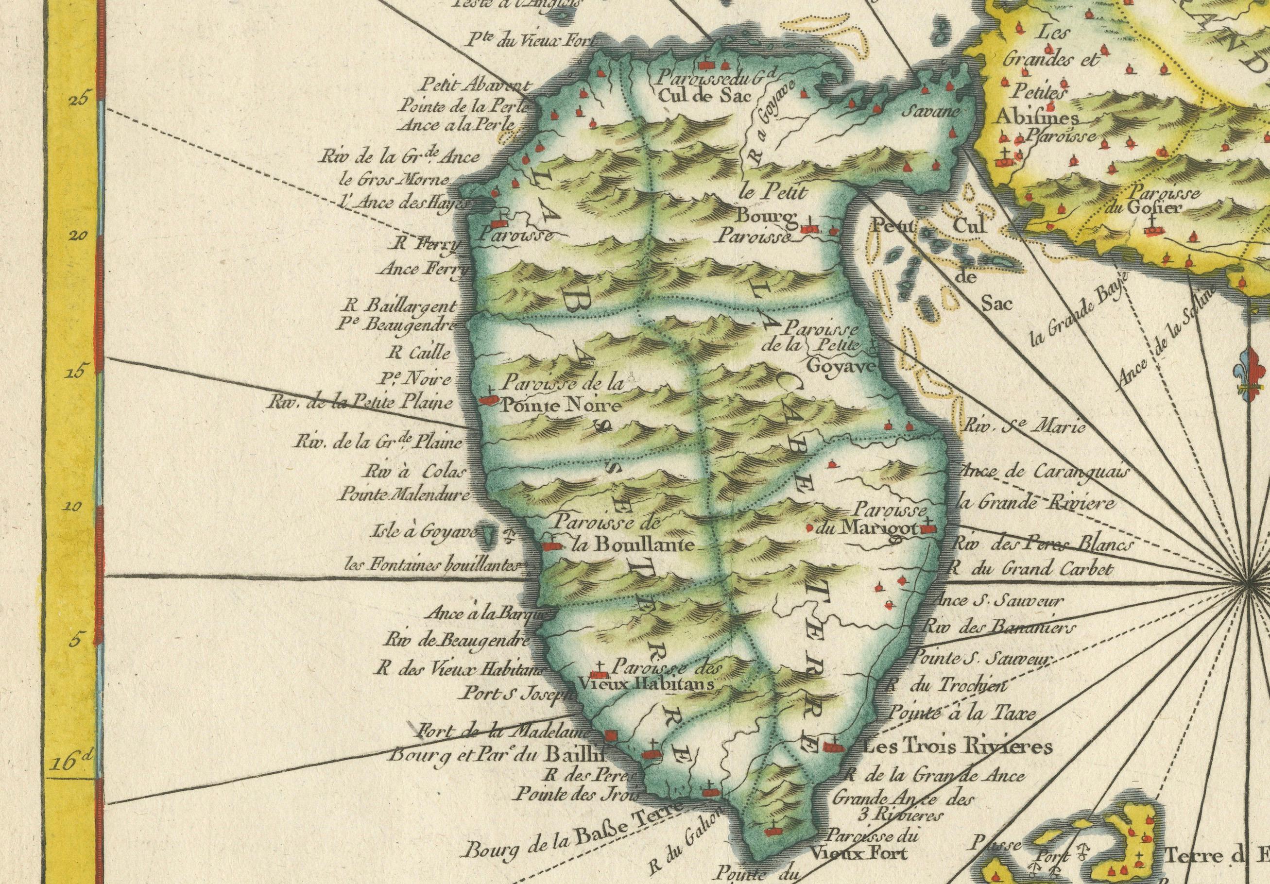
Original antique map titled Carte de l’Isle de la Guadeloupe by Jacques Nicolas Bellin, engraved for the *Histoire Générale des Voyages*, published in Paris in 1758.
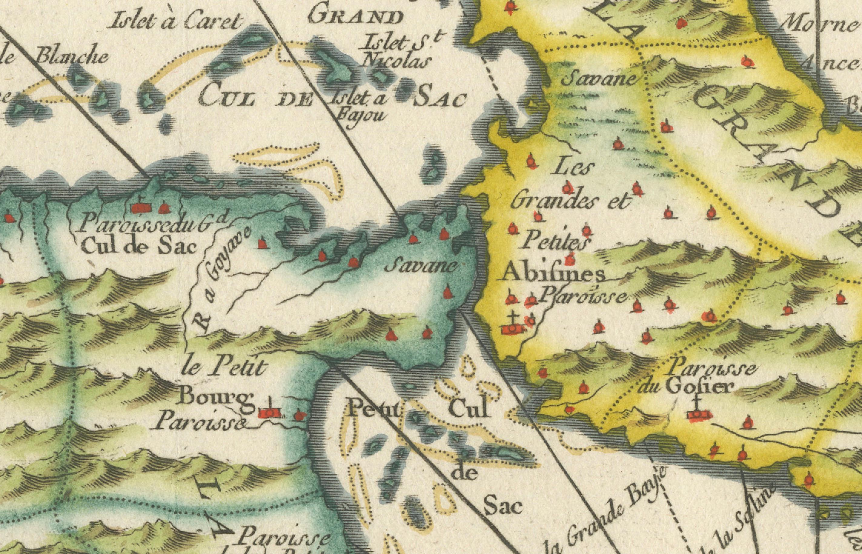
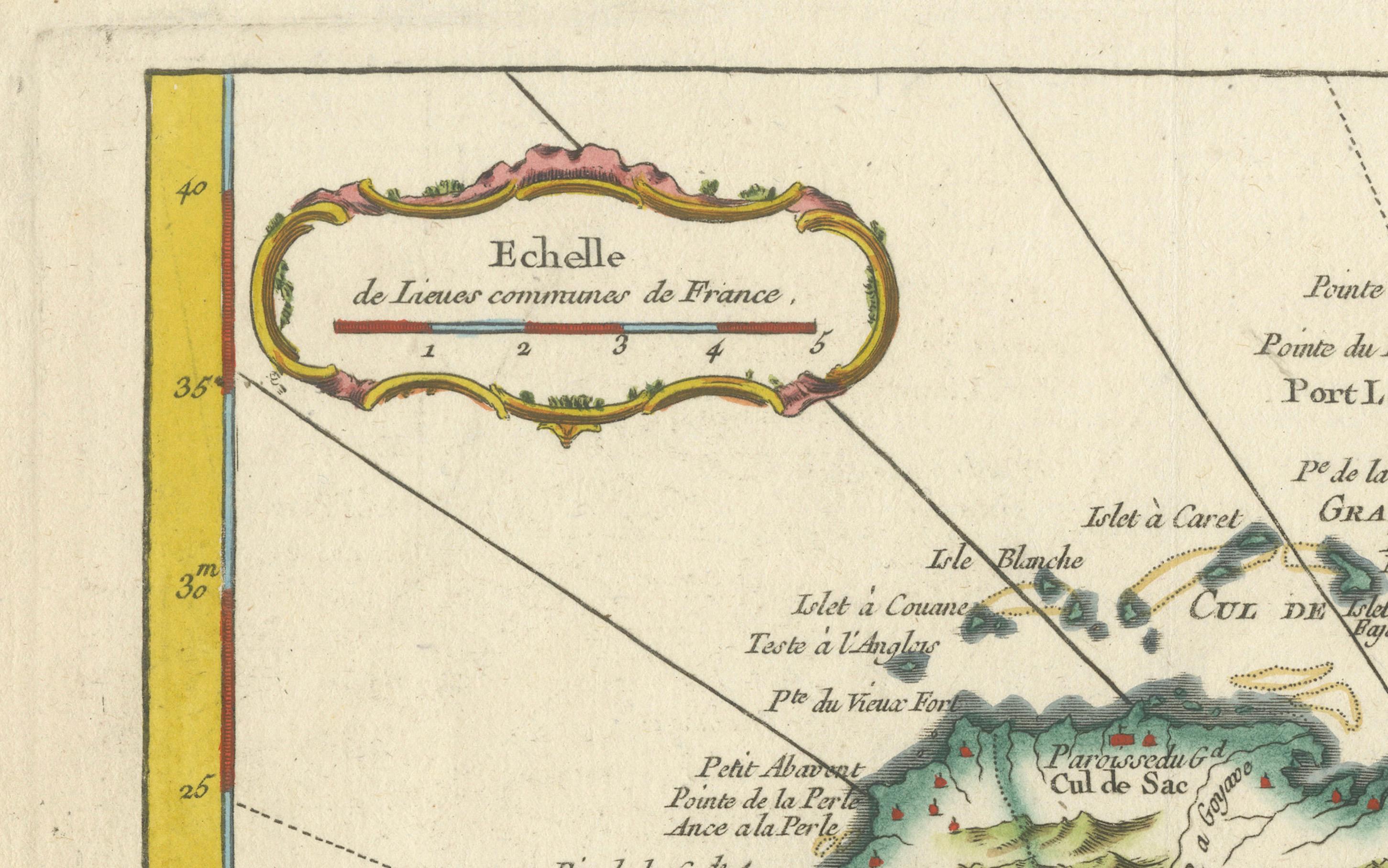
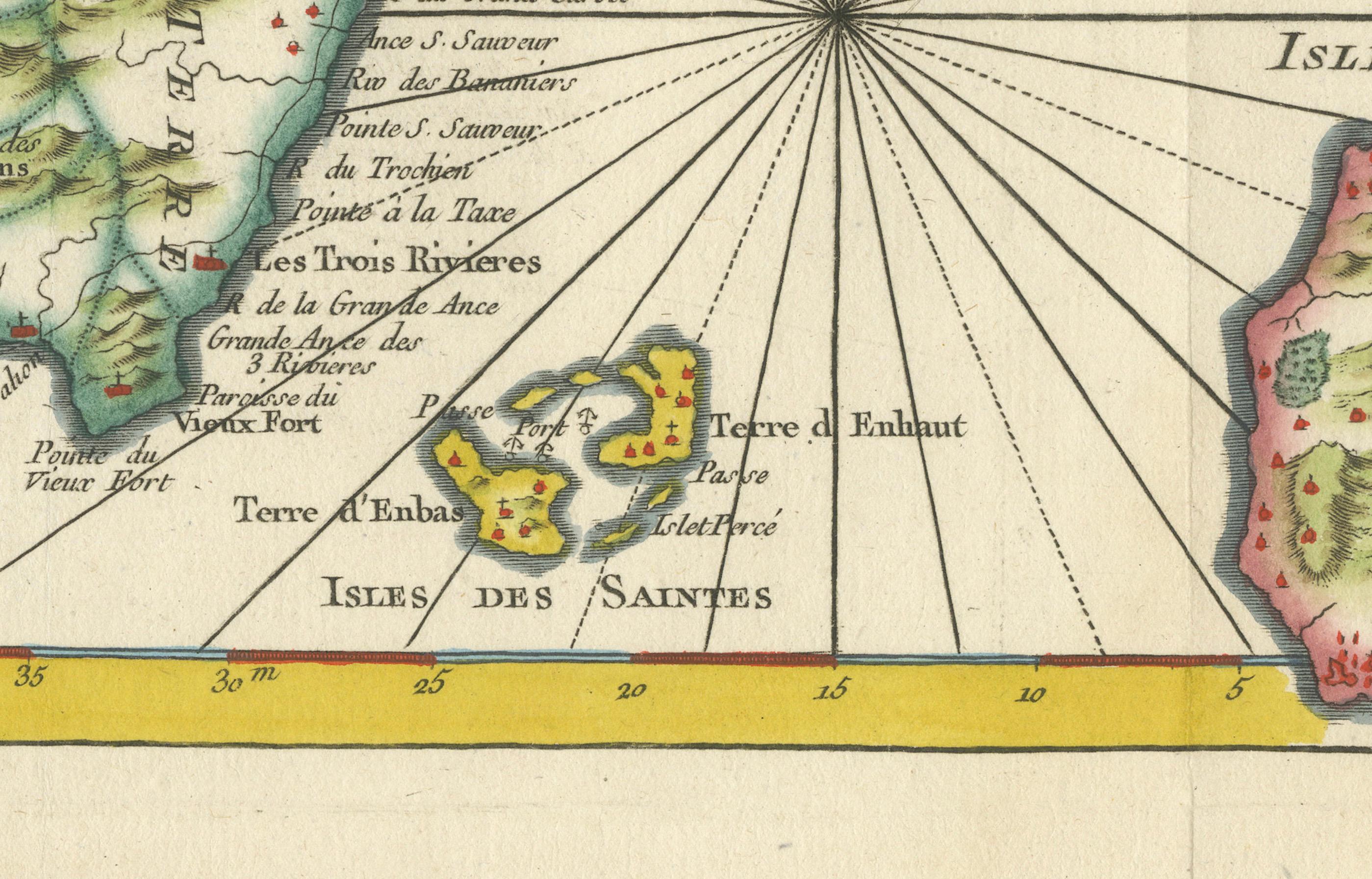
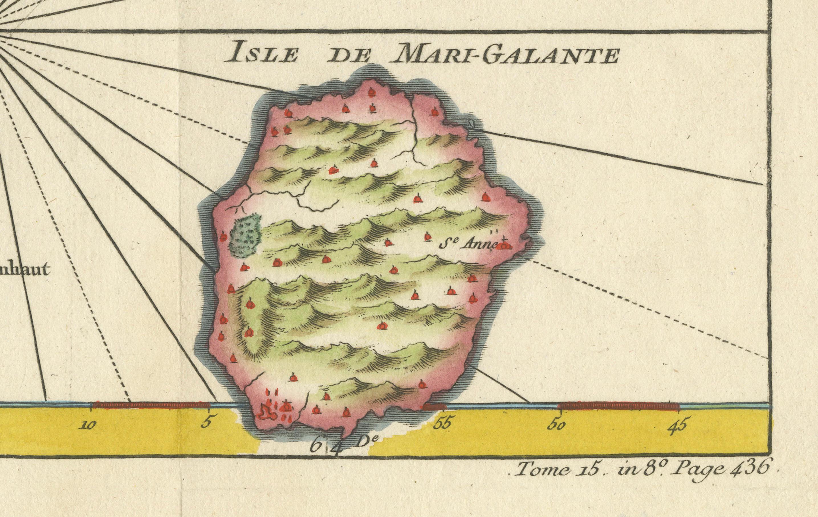
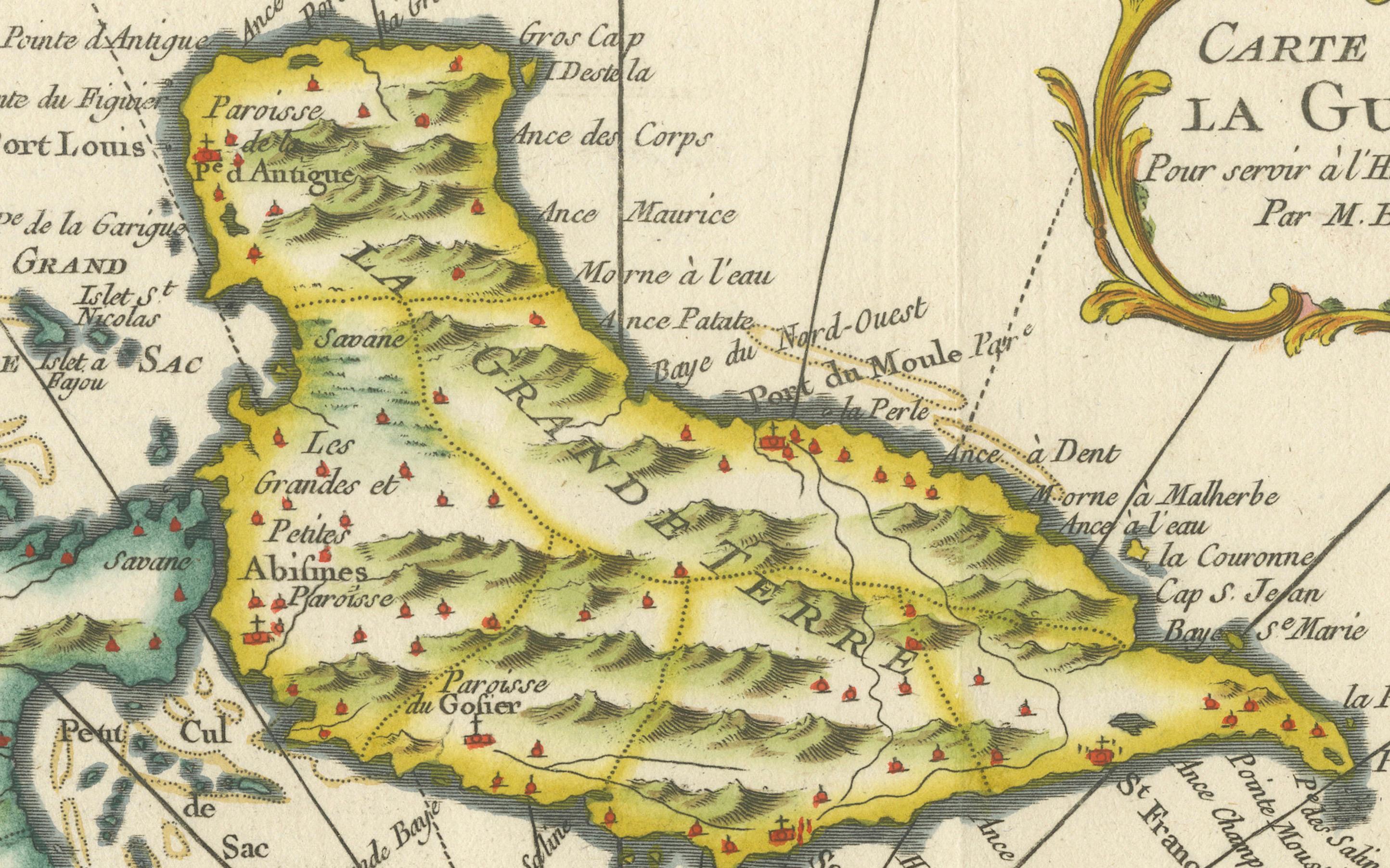
This finely engraved copperplate map depicts the French Caribbean island of Guadeloupe, showing its distinctive butterfly-shaped division into Basse-Terre and Grande-Terre. The surrounding smaller islands include Marie-Galante (bottom right) and Les Saintes. The map details numerous place names, parishes, rivers, bays, mountains, and anchorages. A decorative rococo title cartouche graces the upper right corner, complemented by a scale bar cartouche in the upper left.
Jacques Nicolas Bellin (1703-1772) served as Hydrographer to the King and was one of the most prominent French cartographers of the 18th century, producing maps noted for their accuracy, elegance, and clarity. This map was created for the influential *Histoire Générale des Voyages* by Abbé Prévost.
Condition report: Excellent condition. Strong and clean impression on fine laid paper with wide margins. Original hand coloring in outline and wash, highlighting coastlines and cartouches. Minor age toning at edges; verso blank.
Framing suggestion: Frame with a classic gold or dark wood moulding and a neutral cream archival mat to emphasize the fine engraving and delicate color washes. Museum glass is recommended to preserve this 18th-century Caribbean map.