Black Friday starts Friday 20 November: up to 30% off, plus free FedEx shipping on qualifying orders →
Orders placed from 15 to 30 November ship from 1 December, in time for Christmas. Our shipping partner: InXpress.
Maps & PrintsBartele Gallery · Langweer
Home / Antique Maps / America / Central America & Caribbean

Central America & Caribbean

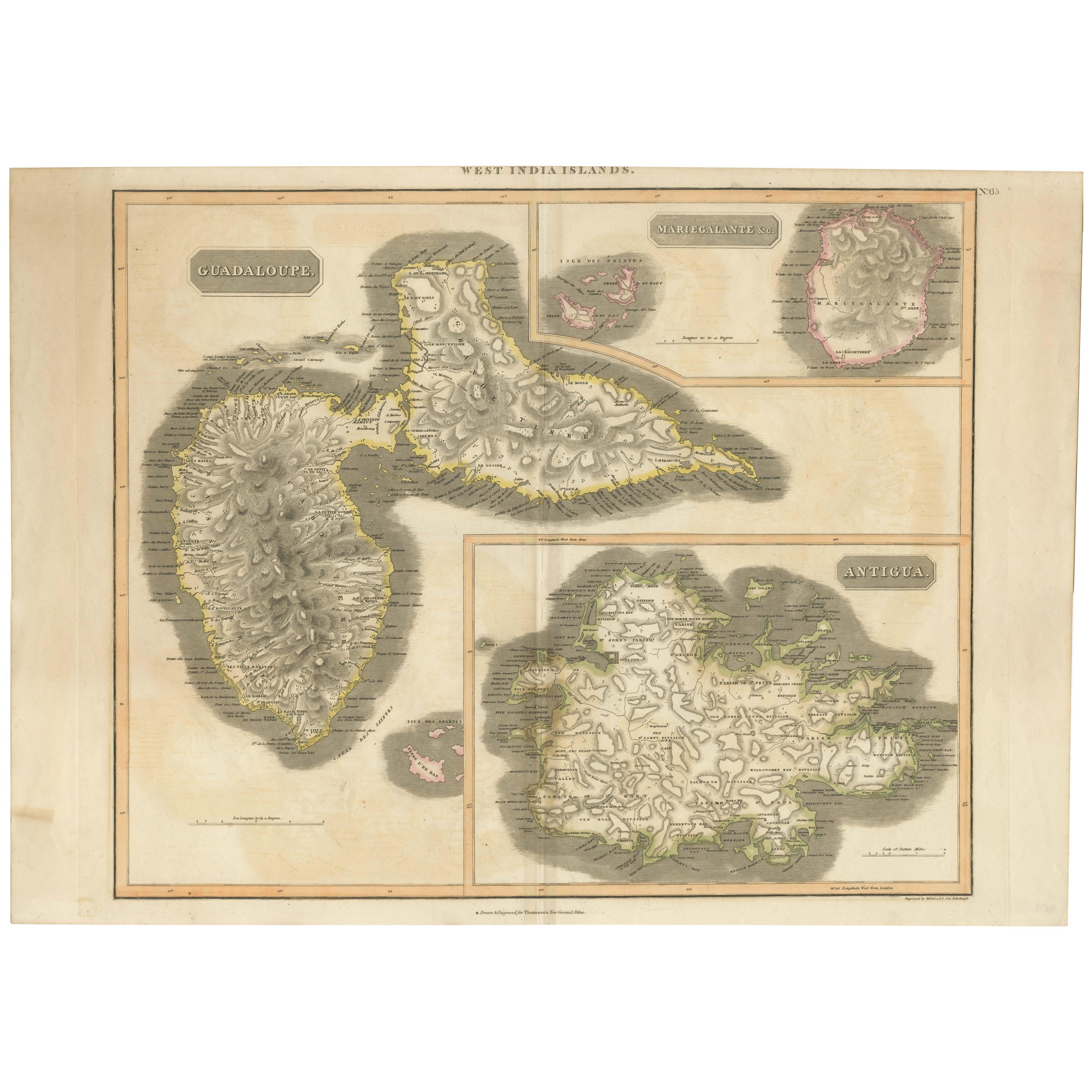
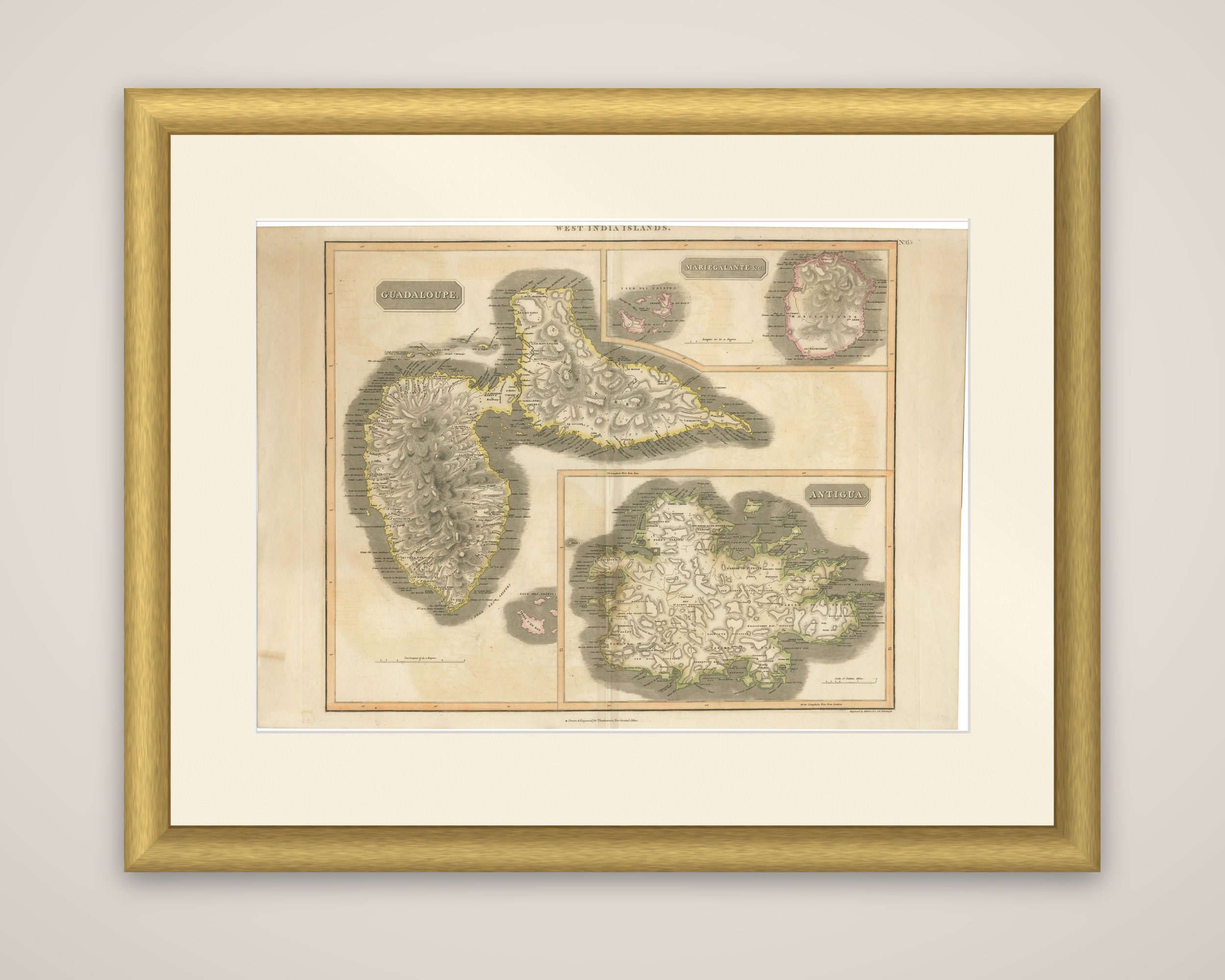
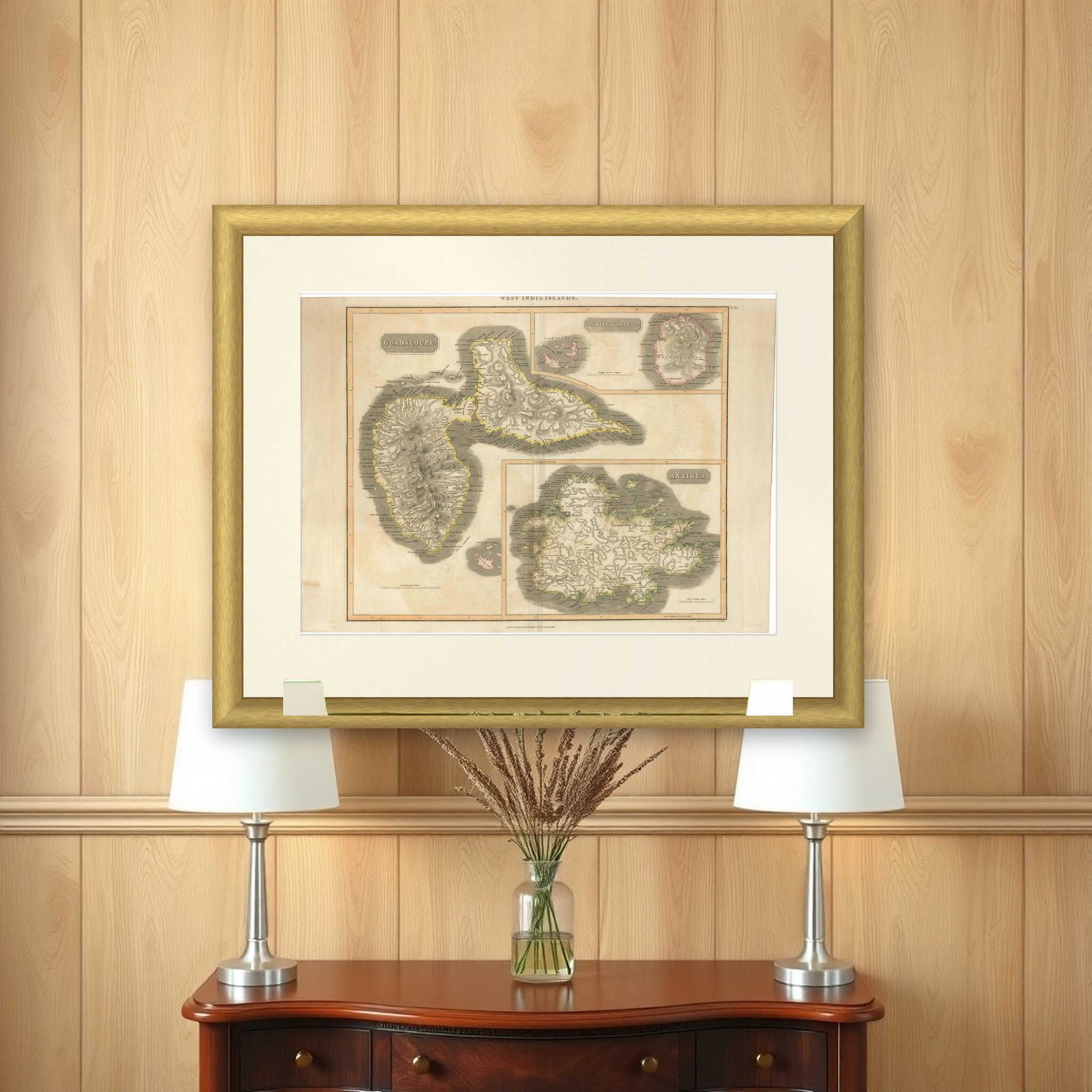
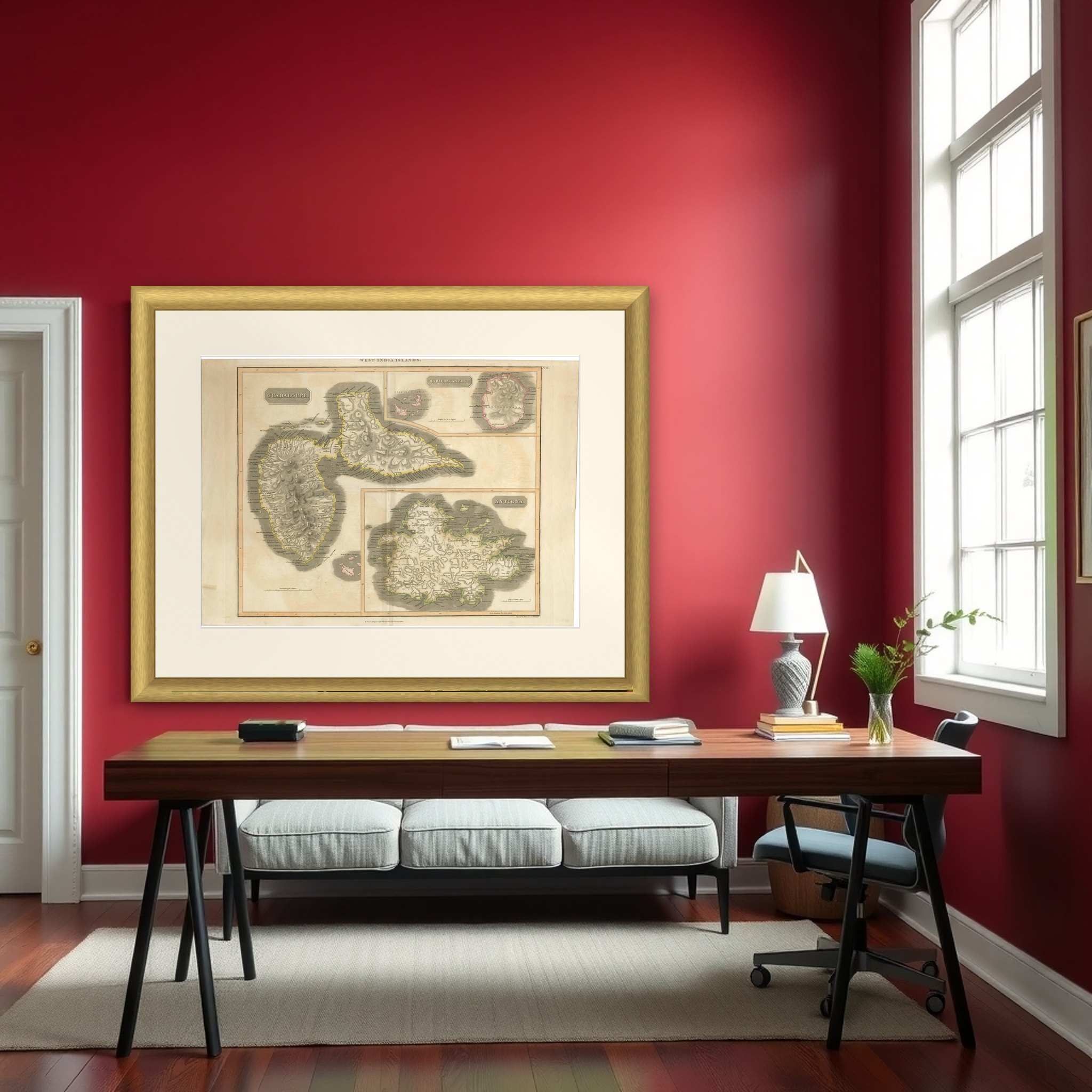
Large Antique Map of Guadeloupe and Antigua with Adjacent Isles, 19th Century

€ 440

Original antique · The actual sheet photographed · Certificate of authenticity on request · Sold unframed · Worldwide shipping from € 15 (rates)

Sheet size
53.5 × 74.5 cm (21.1 × 29.3 in)
Condition
Good
Reference
BG-31618-3
What the condition grades mean
Excellent
Bright and clean, with no faults worth mentioning.
Very good
Only light signs of age, such as faint toning.
Good
Normal signs of age for a sheet of this period: toning, some foxing, small marks or neat old repairs.
Fair
Clear faults such as staining, tears or repairs, priced to match.

Every fault we see is written in the condition note, and the whole sheet is shown uncropped in the photos.

Condition

Good condition considering its age. The paper showing signs of aging and foxing that contribute to its antique character. The yellowish offset, folds and creases are typical of maps that were used or stored in atlases.
About this sheet

Guadeloupe and Antigua on one sheet, an original copper engraving by John Thomson from his New General Atlas, published in Edinburgh around 1817, with hand color. The sheet is headed "West India Islands" at the top.

Guadeloupe fills the left side in a title panel, drawn in its two halves, Basse-Terre with its volcanic mountain mass on the west and the flatter Grande-Terre on the east, with the narrow channel between them. A smaller inset at the upper right shows Marie-Galante with the nearby islets, and a larger inset at the lower right shows Antigua with its deeply indented coast. A tiny islet group is drawn at lower left near the Guadeloupe coast. Mountains are shaded in fine hachure, coastal waters in gray wash, and place names run around the shorelines. Each island has its own scale of miles.

Thomson's atlas, issued in parts in Edinburgh, was known for the clarity of its engraving and the neat outline color of its maps.

More from Central America & Caribbean

Ask about this sheet

Large Antique Map of Guadeloupe and Antigua with Adjacent Isles, 19th Century
Ref. BG-31618-3 · € 440
We reply by email, usually within one working day.

Your favorites

Saved in this browser. Email the list to yourself to keep it on any device.

We use your email to send this list and, only if you tick the box and confirm, for occasional new arrivals. Every email has an unsubscribe link. Bartele Gallery, the Netherlands.

Powered by SiteKeys