Original antique · The actual sheet photographed · Certificate of authenticity on request · Sold unframed · Worldwide shipping from € 15 (rates)
Date
1780
Sheet size
41 × 26 cm (16.1 × 10.2 in)
Condition
Good
Reference
BG-14105-37
What the condition grades mean
Excellent
Bright and clean, with no faults worth mentioning.
Very good
Only light signs of age, such as faint toning.
Good
Normal signs of age for a sheet of this period: toning, some foxing, small marks or neat old repairs.
Fair
Clear faults such as staining, tears or repairs, priced to match.
Every fault we see is written in the condition note, and the whole sheet is shown uncropped in the photos.
Condition
Good antique condition. Light age toning and minor handling wear consistent with 18th-century copperplate engraving. Original centerfold as issued. Clean impression with strong legibility; margins ample for framing.
About this sheet
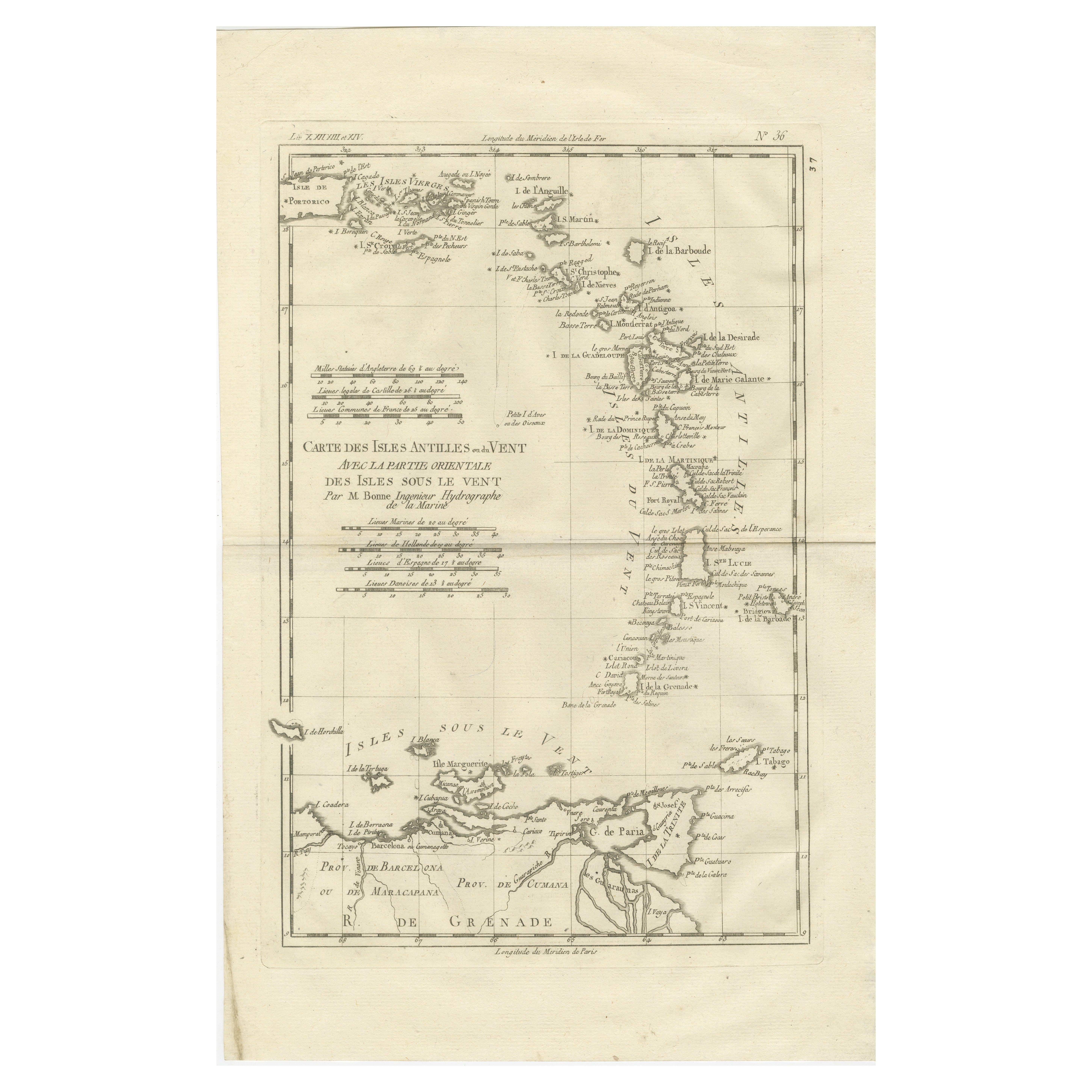
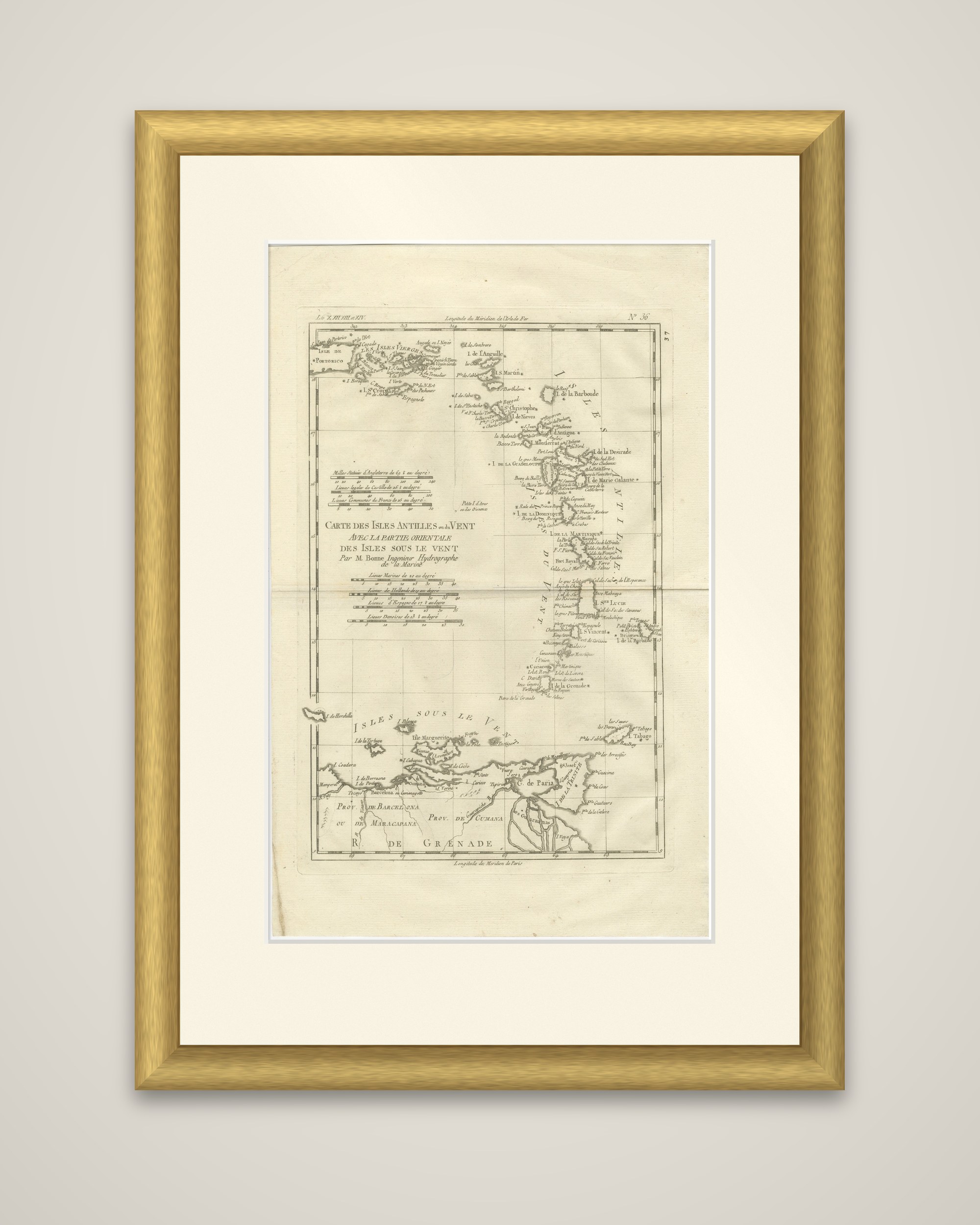
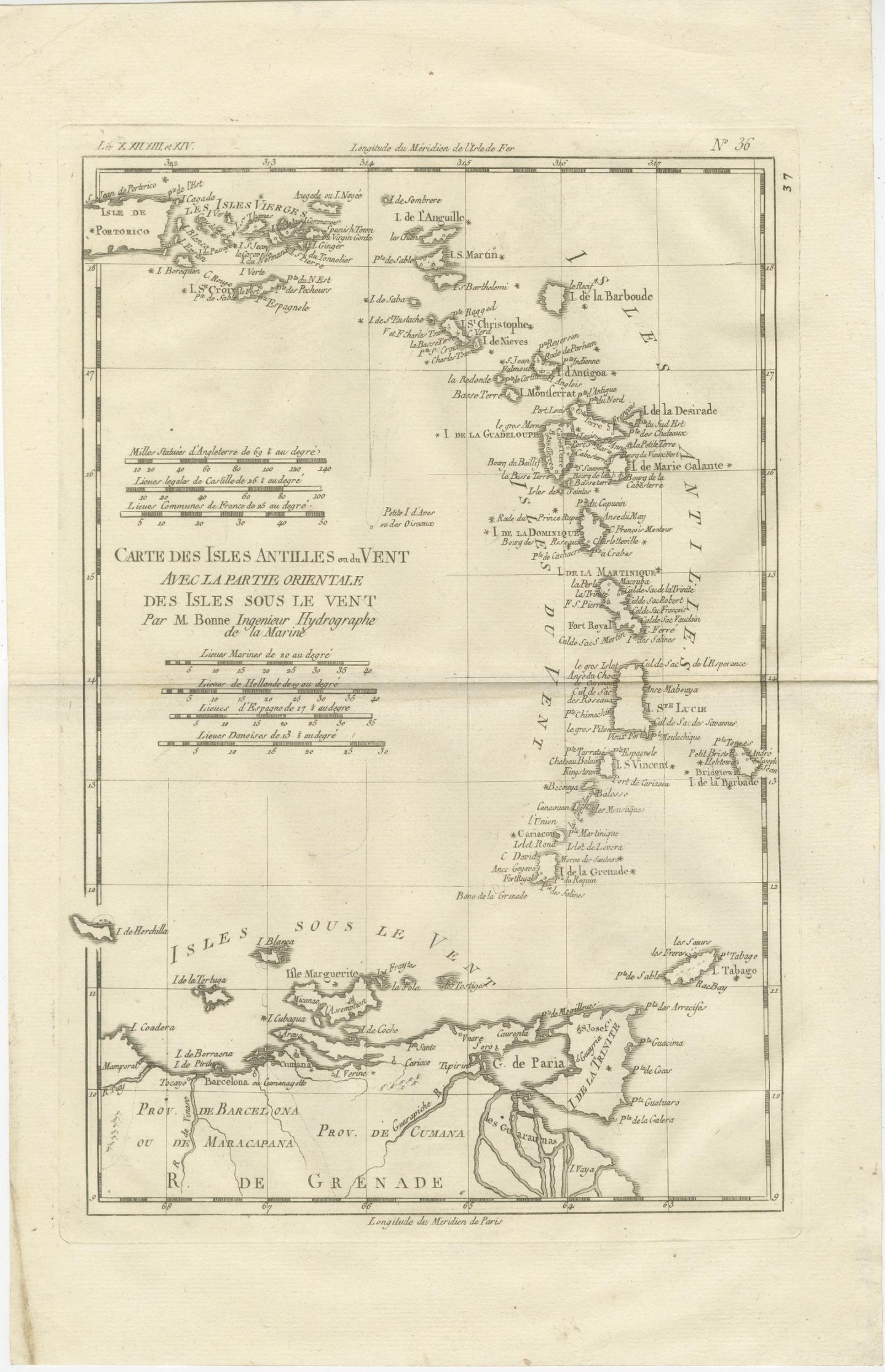
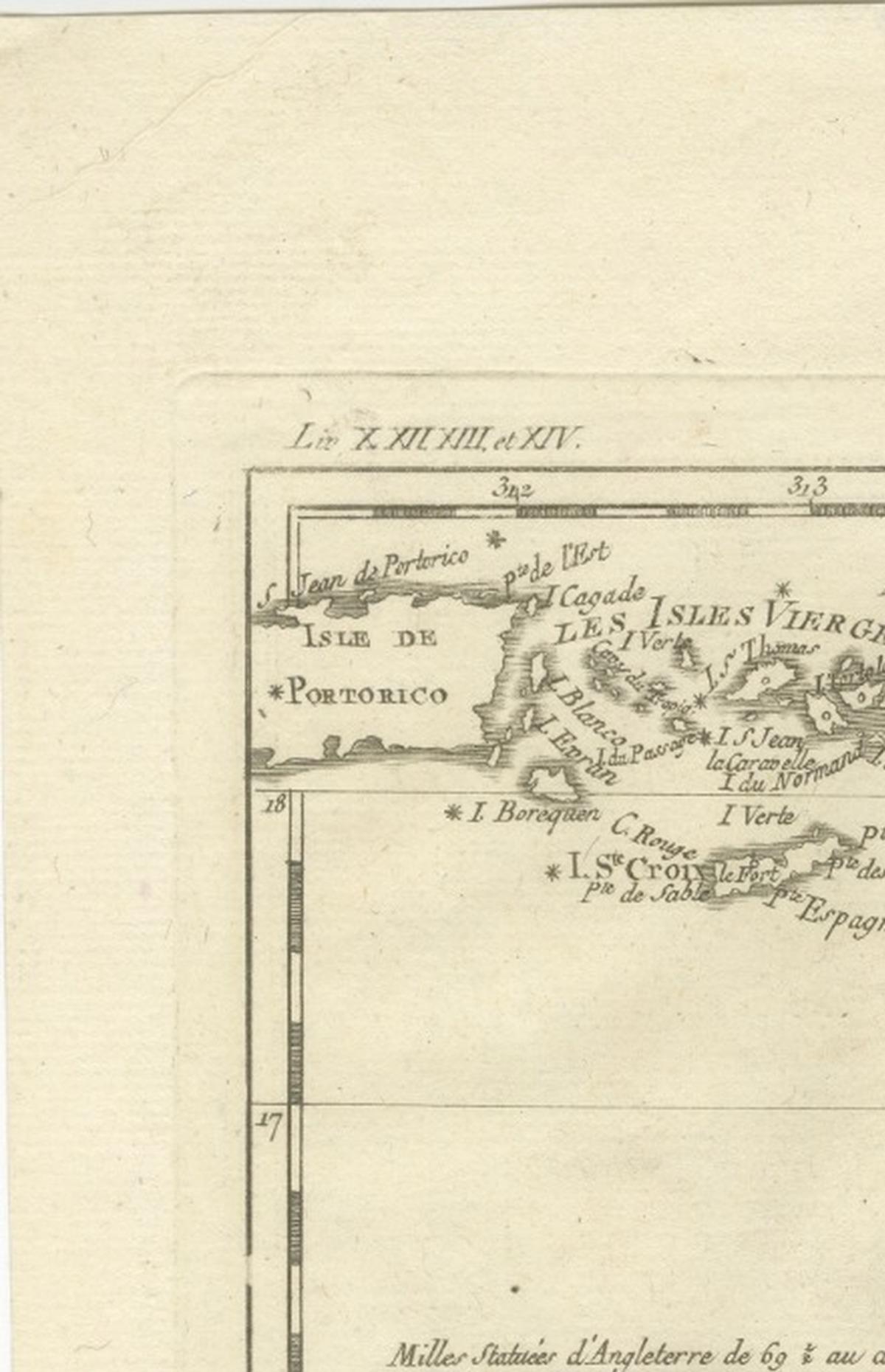
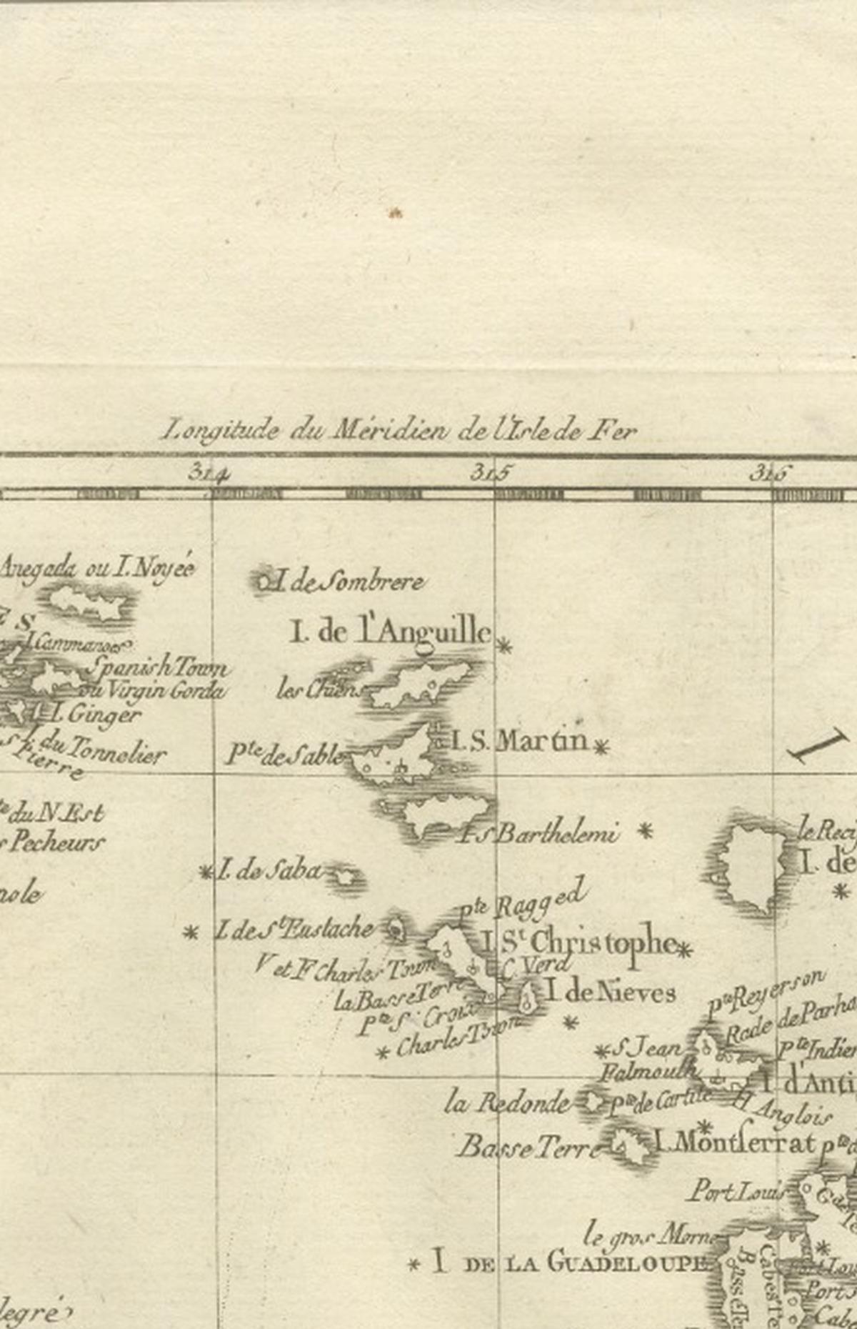
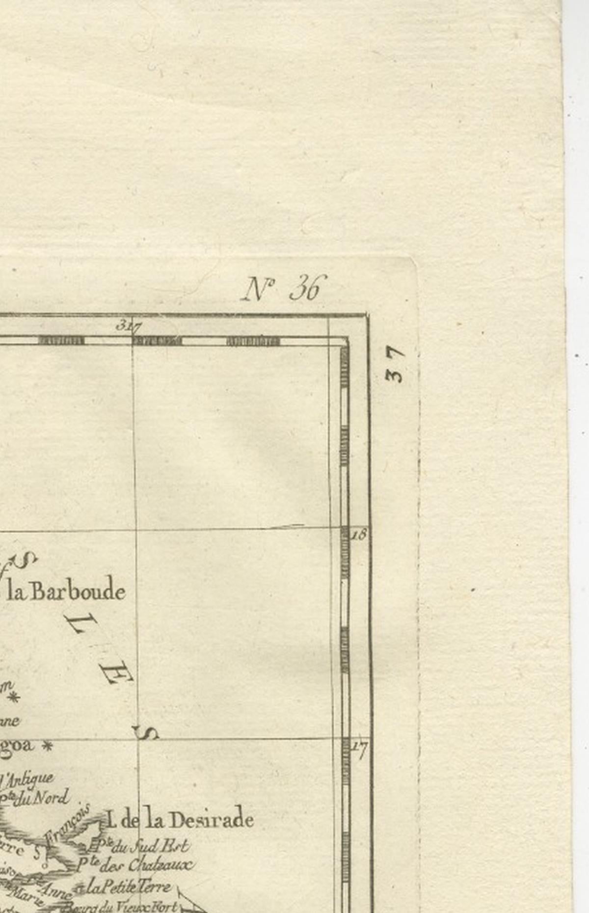
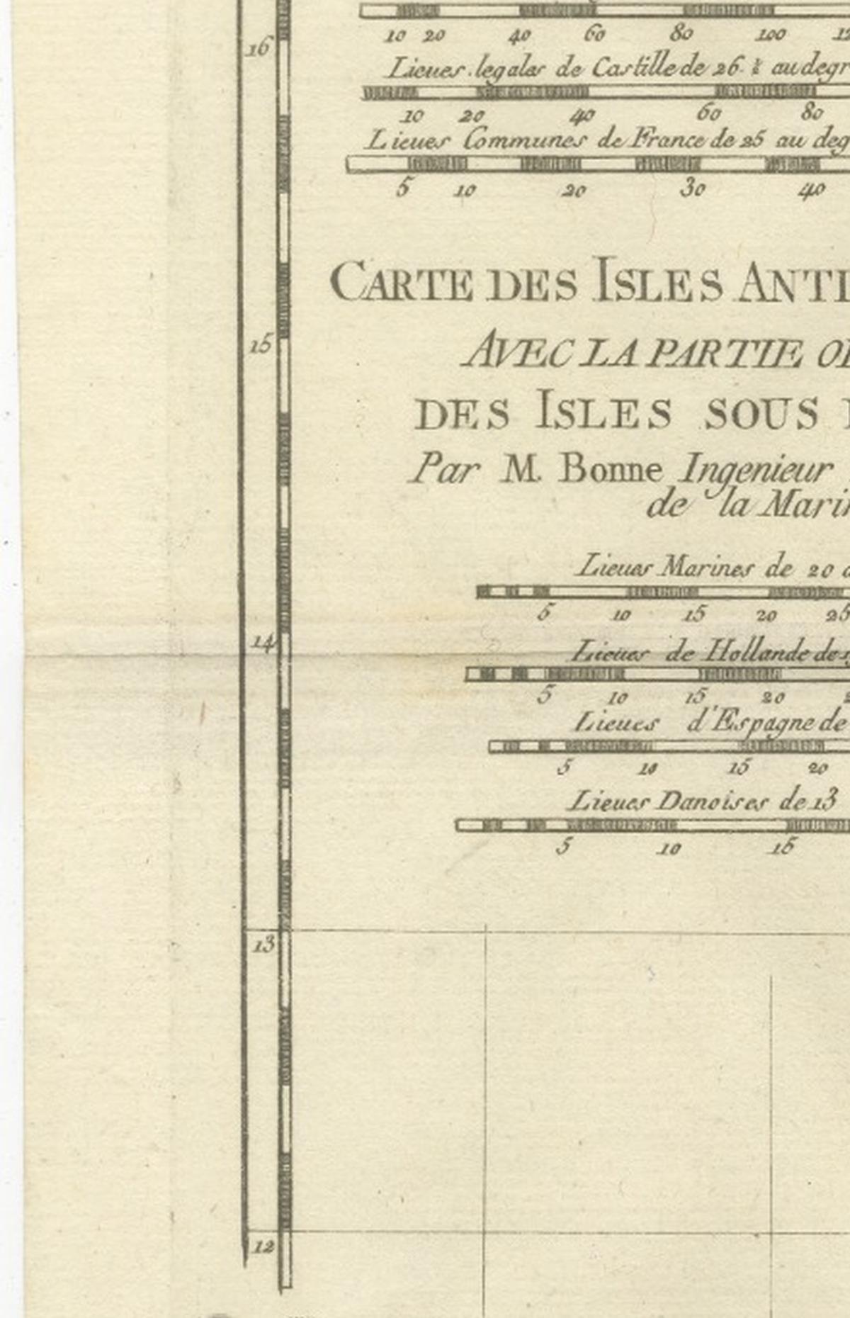
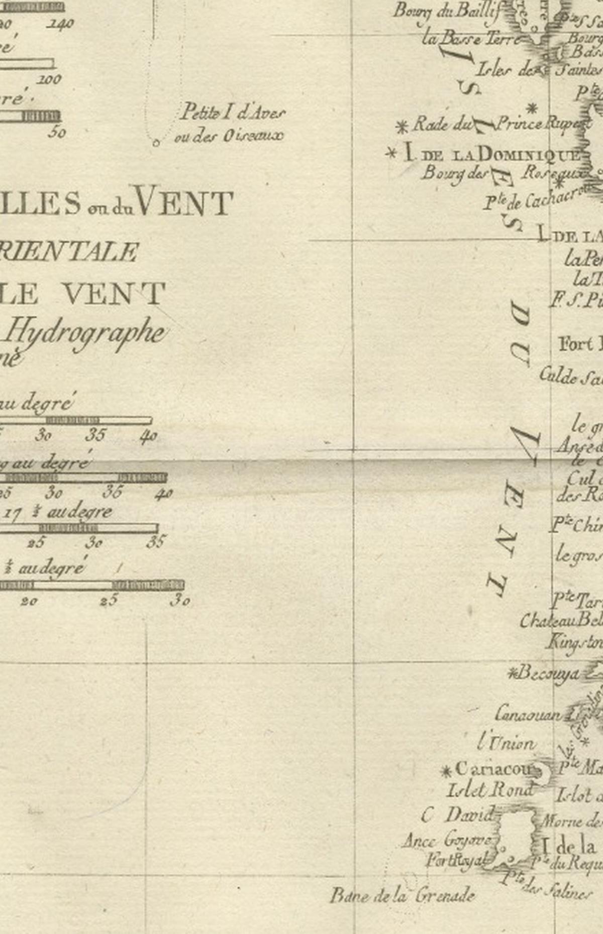
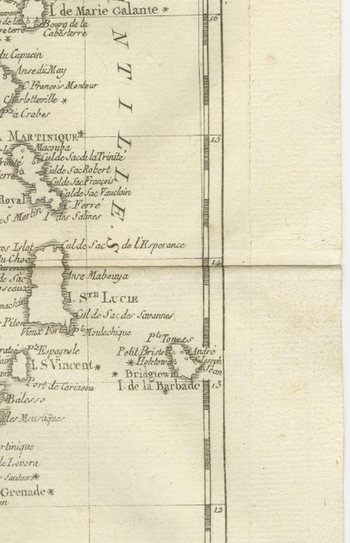
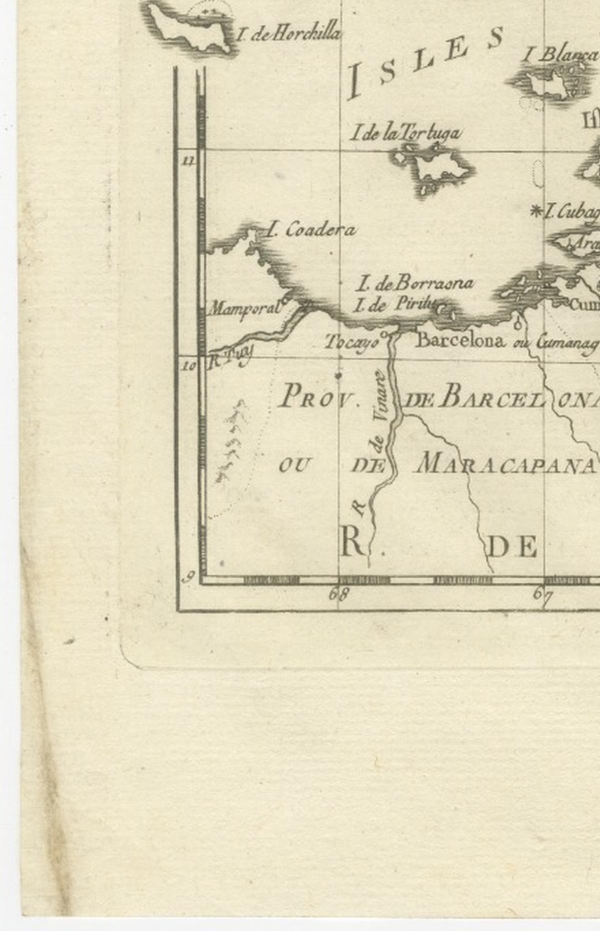
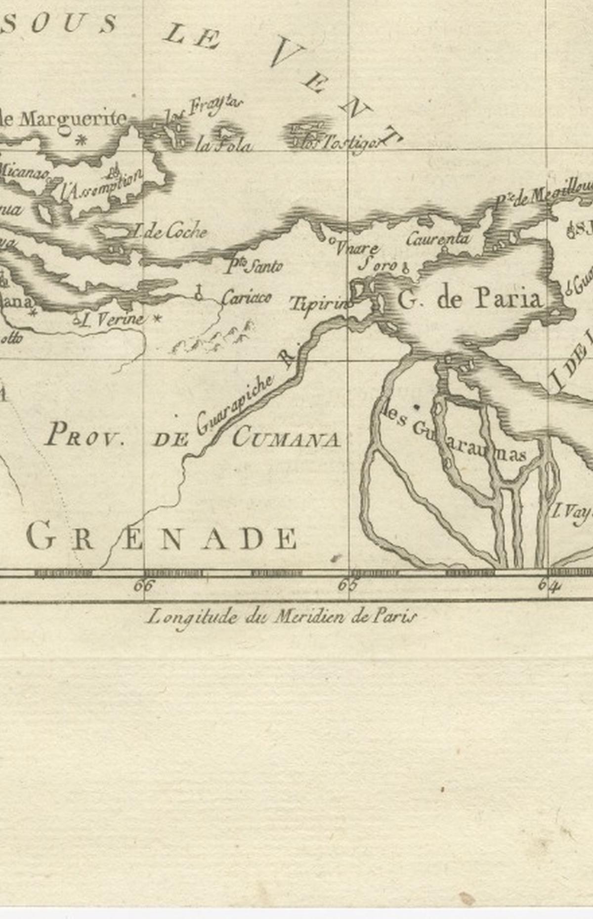
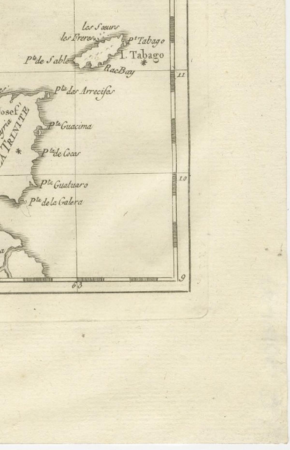
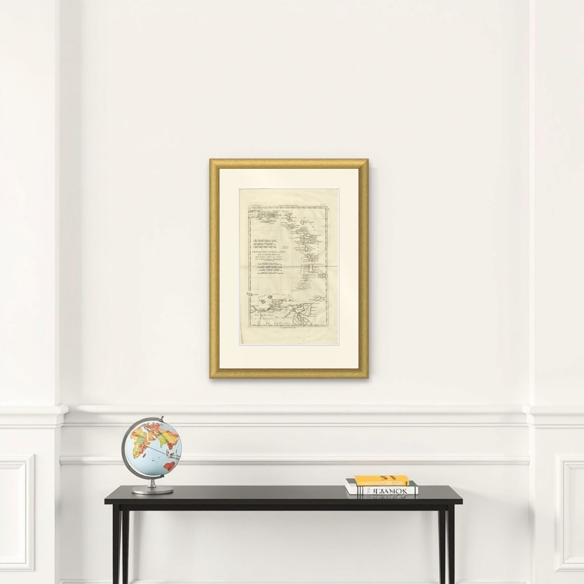
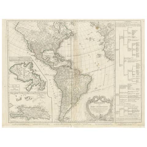
The Lesser Antilles, a copper engraving by Rigobert Bonne, circa 1780, titled "Carte des Isles Antilles ou du Vent, avec la Partie Orientale des Isles sous le Vent," credited "Par M. Bonne, Ingénieur Hydrographe de la Marine." The sheet is printed in black without color, with the plate number in the upper right corner.
The chain of the Windward Islands curves down the right side of the sheet, with the Virgin Islands and Puerto Rico at the top left and the island chain running south through Guadeloupe, Martinique, Saint Lucia, Saint Vincent, Barbados and Grenada toward Tobago. The Leeward Islands ("Isles sous le Vent") along the Venezuelan coast appear below, and the sheet ends on the coast of northern South America, with the provinces of Barcelona and Cumaná lettered above the Gulf of Paria and Trinidad at the right. Harbors, bays and capes are named on each island. Four sets of scale bars (in English miles, Spanish leagues, marine leagues and French leagues) fill the blank sea at the left, around the title.
Bonne was hydrographer to the French navy at the Dépôt de la Marine in Paris, succeeding Jacques-Nicolas Bellin. The map shows French, British, Spanish and Dutch islands together on one sheet, as they stood in the years around 1780.