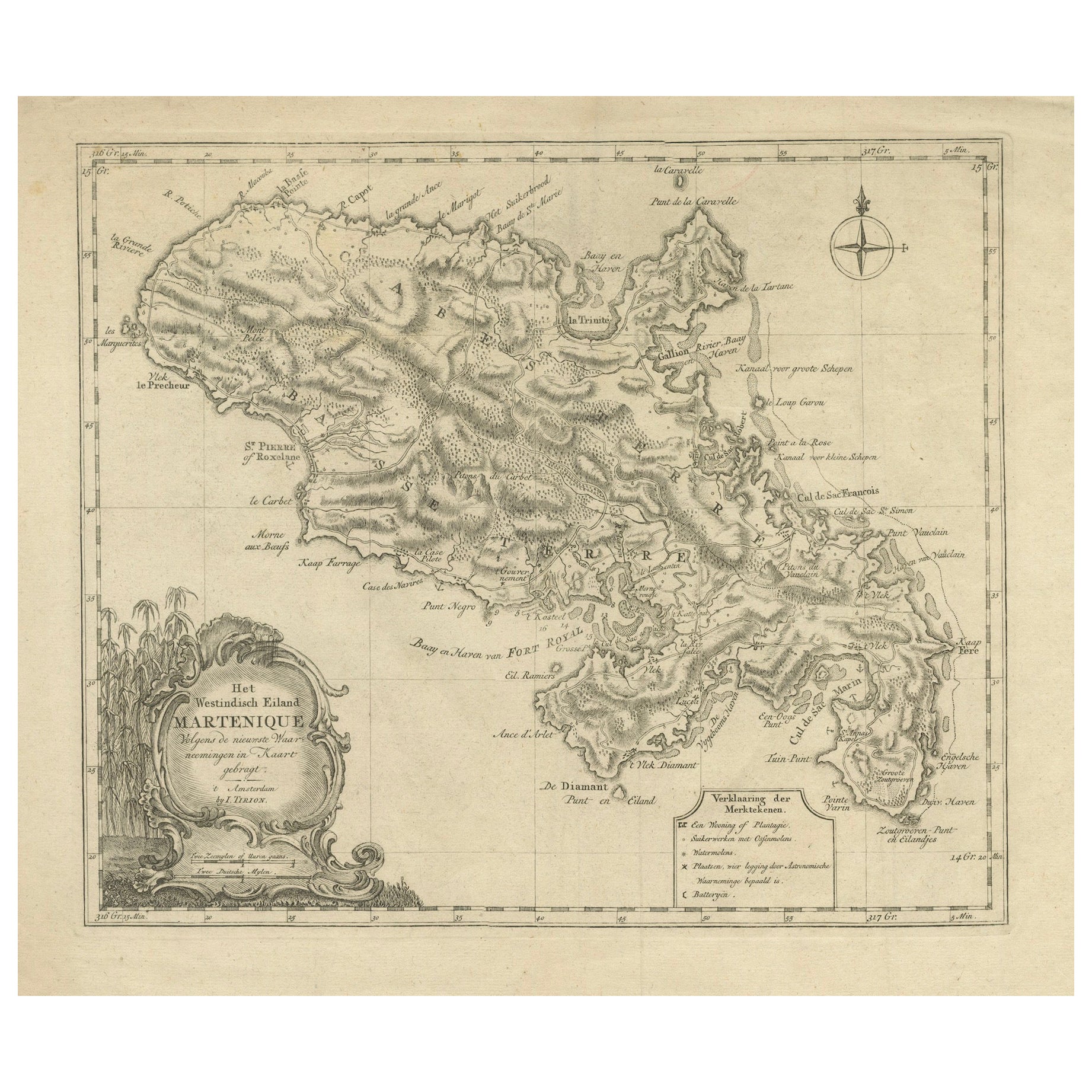
18th Century Original Dutch Map of Martinique in The West Indies by Isaak Tirion
€ 440
Original antique · The actual sheet photographed · Certificate of authenticity on request · Sold unframed · Worldwide shipping from € 15 (rates)
Sheet size
41 × 49 cm (16.1 × 19.3 in)
Reference
BG-13618-2
What the condition grades mean
Excellent
Bright and clean, with no faults worth mentioning.
Very good
Only light signs of age, such as faint toning.
Good
Normal signs of age for a sheet of this period: toning, some foxing, small marks or neat old repairs.
Fair
Clear faults such as staining, tears or repairs, priced to match.
Every fault we see is written in the condition note, and the whole sheet is shown uncropped in the photos.
Condition
Good, given age. General age-related toning and/or occasional minor defects from handling. Creasing around the borders, not disturbing the image. Please study scans carefully.
About this sheet
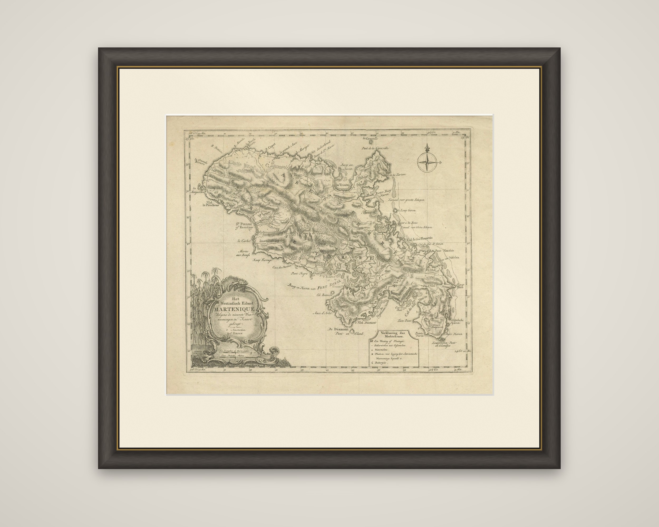
Martinique, in a Dutch map by Isaak Tirion of Amsterdam, titled "Het Westindisch Eiland Martenique, volgens de nieuwste waarneemingen in kaart gebragt", with the imprint "t'Amsterdam by I. Tirion" in the cartouche. The sheet is an original eighteenth-century copper engraving.
The island is drawn in detail, with its hills and mountain ridges shown in dense hachures and the coast fringed with small bays. Place names are lettered in Dutch and French around the shore, including Fort Royal at the head of its large bay (the "Baay en Haven van Fort Royal"), St. Pierre on the northwest coast, La Trinité on the Atlantic side and Le Diamant at the southern end. The channels used by ships are marked as "Canaal voor groote Schepen" and "Canaal voor kleine Schepen". A compass rose stands in the upper right, and a boxed key at the lower right, the "Verklaaring der Merktekens", explains the signs for plantations, sugar works, water mills and batteries.
The title cartouche at the lower left is a rococo frame of scrolls with sugar cane growing beside it, a fitting emblem for an island whose plantations supplied much of France's sugar. Tirion's atlases and his smaller Dutch editions of colonial maps gave the Dutch public an up-to-date picture of the French and British West Indies.