About this sheet
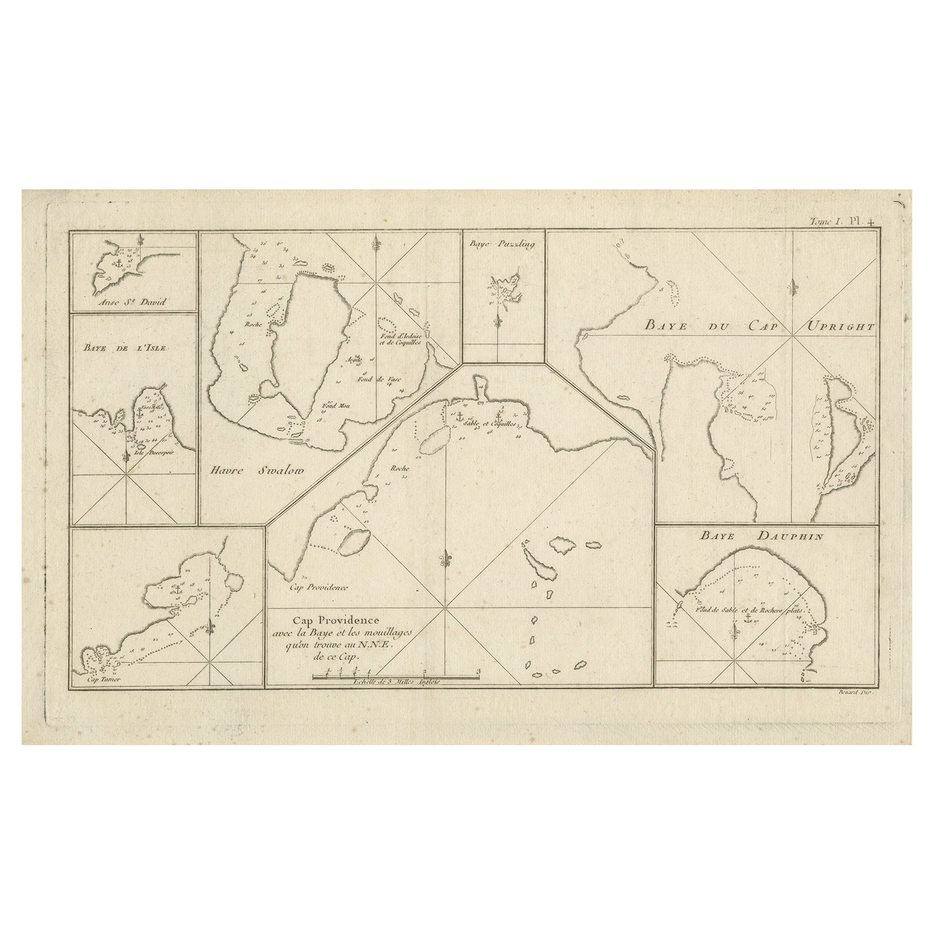
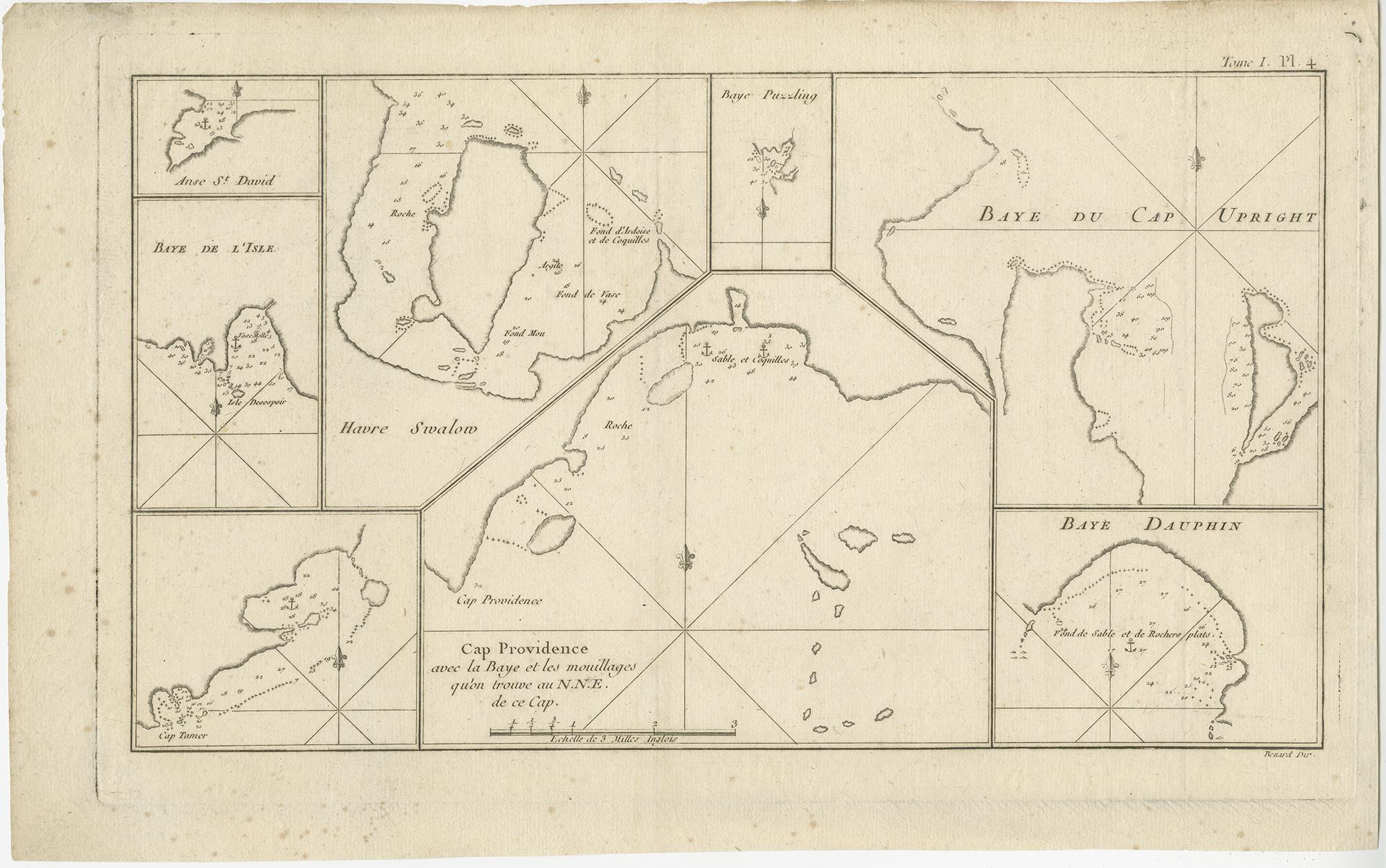
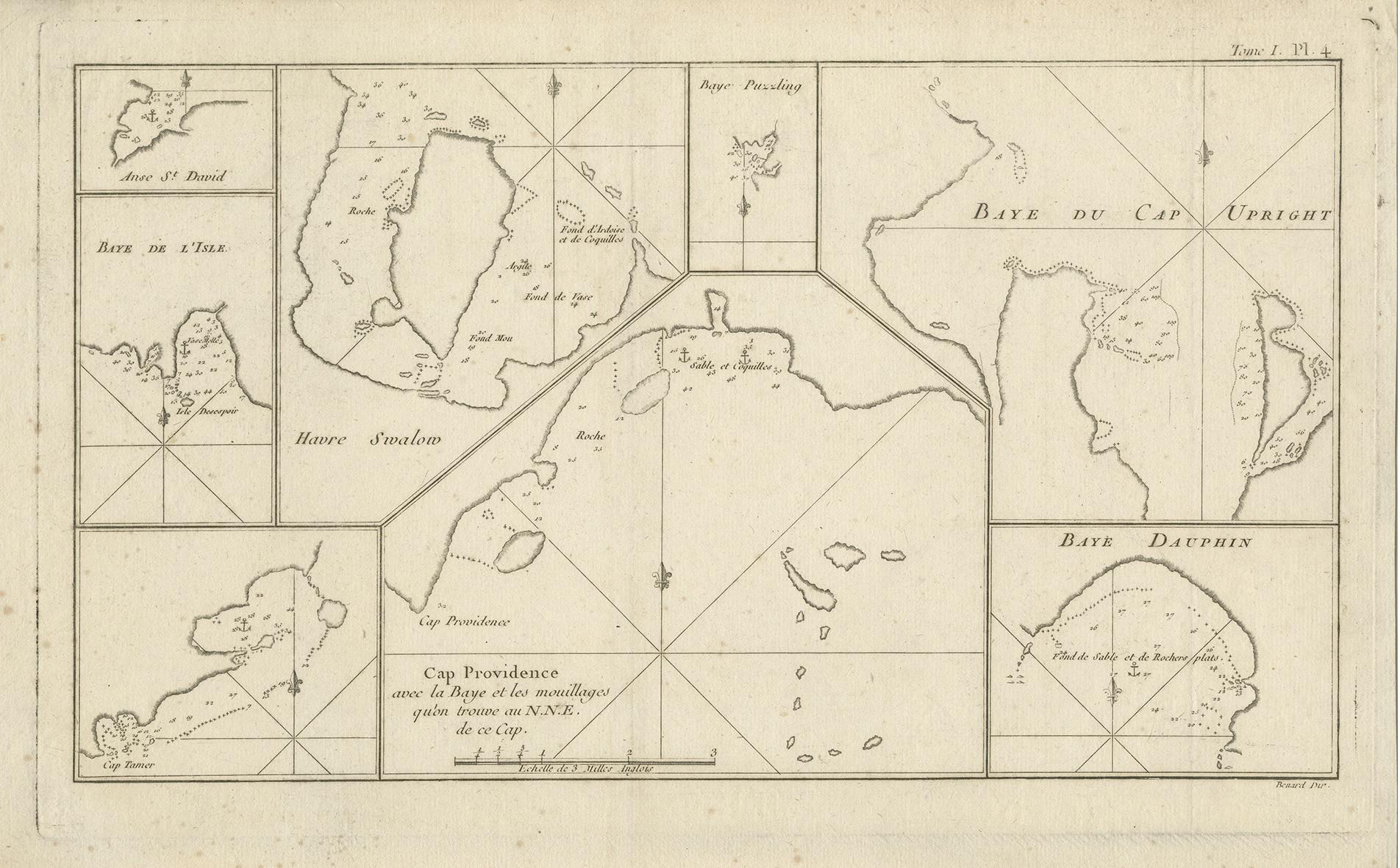
Antique Map of Cape Providence & St. David’s Cove – Strait of Magellan, 1774
Antique engraved nautical map depicting a series of detailed coastal charts along the shores of southern Patagonia, presented as eight separate maps on a single sheet. The charts include Cape Providence, St. David’s Cove, the Bay of the Island, Swallow’s Haven, Puzzling Bay, Baye du Cap Upright, and Dauphin’s Bay, all located in or near the Strait of Magellan.
Each chart focuses on specific anchorages and coastal features, engraved with shorelines, soundings, compass lines, and navigational markers. This multi-chart format reflects the practical needs of eighteenth-century maritime exploration, providing sailors with precise local knowledge of harbors and landing places in one of the most hazardous and strategically important passages in the world.
Cape Providence and its surrounding bays were frequently surveyed during early voyages through the Strait of Magellan, as the region offered both shelter and danger to ships navigating between the Atlantic and Pacific Oceans. The inclusion of smaller bays such as Swallow’s Haven and Puzzling Bay demonstrates the emphasis placed on identifying safe anchorages and recognizable coastal landmarks.
This map originates from the French edition of “An Account of the Voyages Undertaken by the Order of His Present Majesty for Making Discoveries in the Southern Hemisphere,” edited by John Hawkesworth and published circa 1774. Hawkesworth’s work brought together the discoveries of major British expeditions, including those of Byron, Wallis, and Cook, and remains a cornerstone of eighteenth-century exploration literature and cartography.
The sheet is firmly rooted in the context of South American and Patagonian exploration and bears no relation to European locations sharing similar names. Its combination of multiple localized charts on one sheet makes it a particularly appealing example of Cook-era hydrographic mapping.
An important and visually engaging map for collectors of early exploration, nautical charts, and the cartography of Patagonia and the Strait of Magellan.
Condition
Good original condition with light age-related toning and minor handling wear consistent with eighteenth-century engraved maps. Central fold as issued. No later coloring or restoration observed.
Framing tips
This sheet benefits from a wide ivory or off-white mat to allow each individual chart to breathe visually. A dark walnut or ebonized frame complements the engraved lines and gives the map a strong, museum-quality presentation. Museum glass is recommended.
Technique: Engraving
Maker: Published by John Hawkesworth, London / Paris, circa 1774