maps-prints.com
✦
Black Friday Sale
Friday 20 to Monday 30 November: up to 30% off original antique maps and prints
The terms
- Up to 30% off selected original antique maps and prints. Every piece is an original, printed in its own time; none is a reproduction.
- The sale runs from Friday 20 November to Monday 30 November. Sale prices shown here apply from Friday 20 November; until then pieces are sold at their regular price.
- Free FedEx shipping on qualifying orders placed on our own websites: USA, Canada, UK and Europe over $500 / €450; rest of the world over $750 / €675. Smaller orders pay our normal shipping rate.
- Orders placed from 15 to 30 November ship from 1 December, in time for Christmas. Our shipping partner is InXpress.
- Each piece is unique, so the sale is while stock lasts.
Collection:AllAmericanSea chartsMilitaryNatural historyFashionArchitectureBotanicalSacredEast Indies
Sale prices apply from Friday 20 November. Save the pieces you like with the heart and come back on Friday.
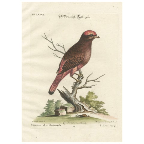 The Red Bird of Surinam by J.M. Seligmann, Hand-Colored Engraving, 18th Century
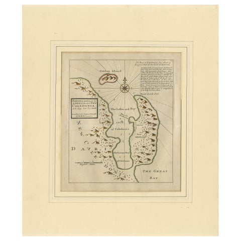 Rare 1699 Map of the Failed Scottish Colony of Caledonia in Panama
 Antique Botanical Print – Exotic Orchid Odontoglossum Wattianum, c.1888
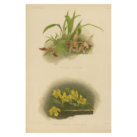 Victorian Botanical Orchid Print – Two Exotic Varieties, c.1888
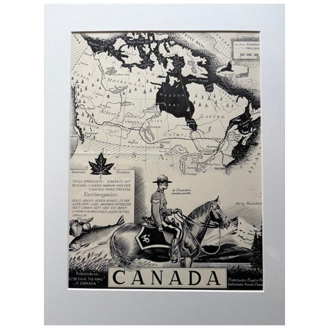 Original 1948 Map of Canada by Charles Burki – Art Deco Mountie Illustration
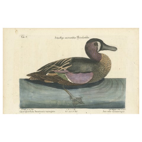 Hand-Colored Engraving of the American Variegated Teal by Seligmann, ca.1770
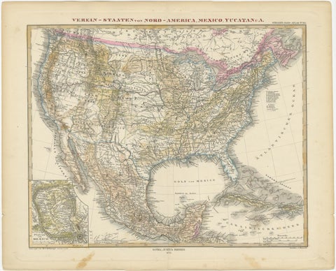 Antique Map with Hand Coloring of the United States and the Caribbean
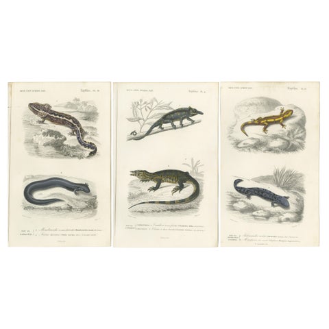 Set of 3 Antique Prints of a Chameleon and Other Reptiles
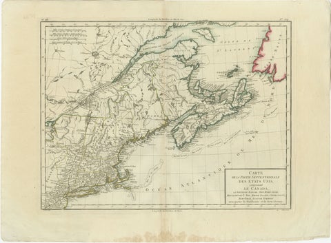 Antique Map of the Northeastern United States and Canada by Tardieu, 1802
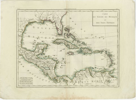 Antique Map of the Gulf of Mexico and Caribbean Islands by Tardieu, 1802
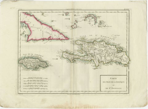 Antique Map of Jamaica and Hispaniola (Saint-Domingue and Santo Domingo), 1802
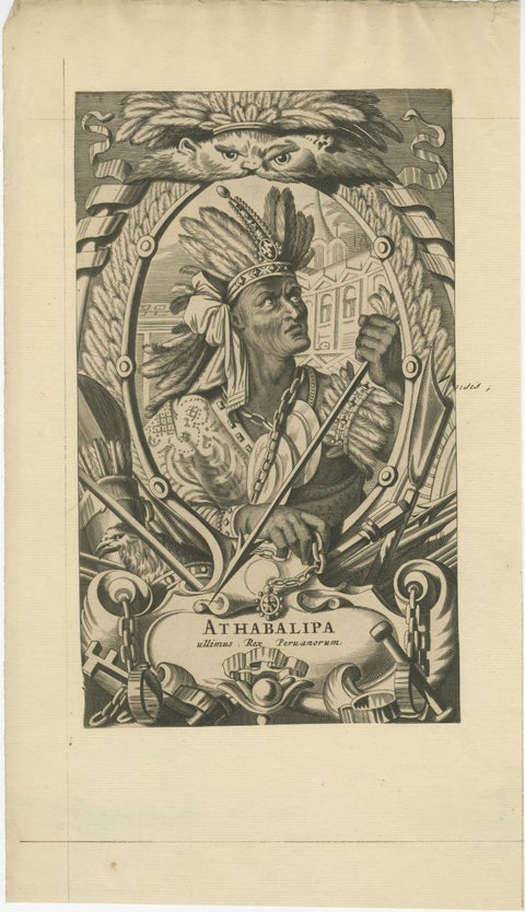 Atahualpa – Last Inca Emperor of Peru – Baroque Engraving c.1700
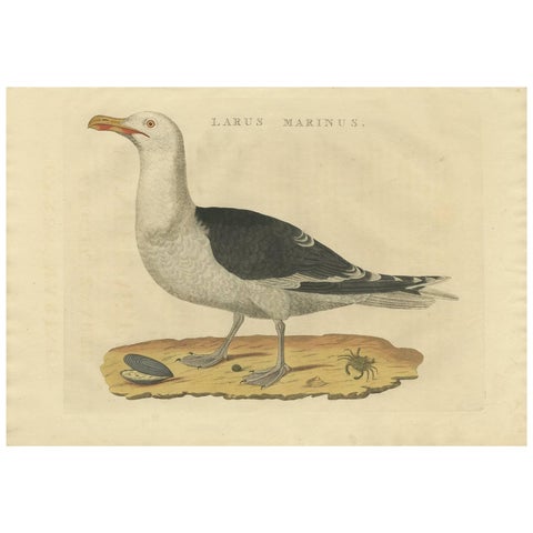 Antique Bird Print of the Great Black-Backed Gull by Sepp & Nozeman, 1829
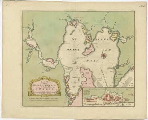 Antique Map of the Bahia Todos Santos 'Brazil' by Tirion, circa 1750
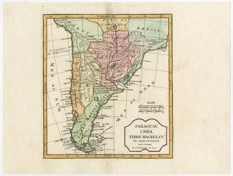 Decorative Antique Map of the Southern Part of South America, 1806
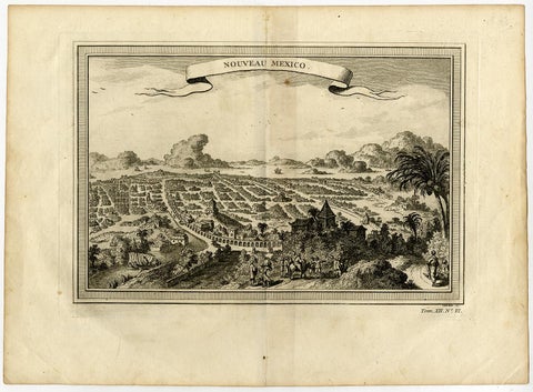 Copper Engraving with a Panoramic View of Mexico City, 1754
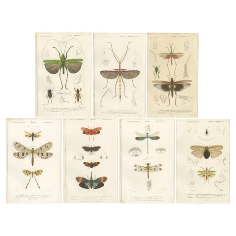 Set of 7 Antique Prints of a Grasshopper and other Insects
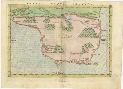 Original Antique Map of Brasil, Published in the 16th Century, 1561
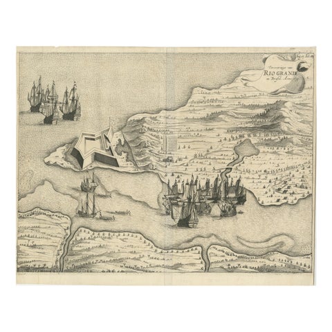 Dutch Conquest of Rio Grande, Brazil (1633) Under Prince Frederick Hendrick
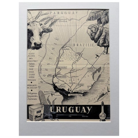 Original 1948 Map of Uruguay by Charles Burki – Art Deco Design
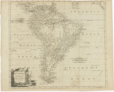 Rare Map of South America of Chili, La Plata, Paraguay, Brazil, Peru, c.1775
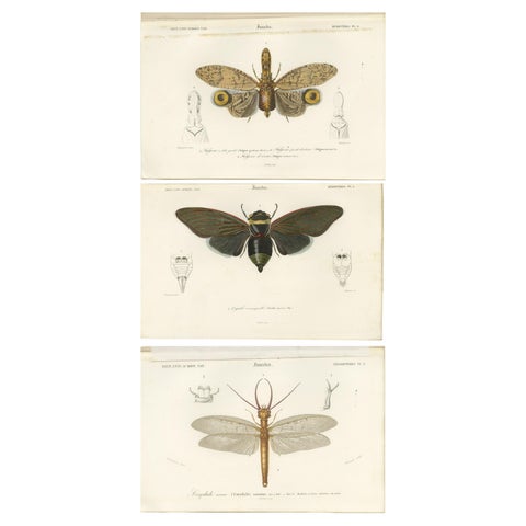 Set of 3 Antique Prints of a Lantern Fly, Cicada and the Eastern Dobsonfly
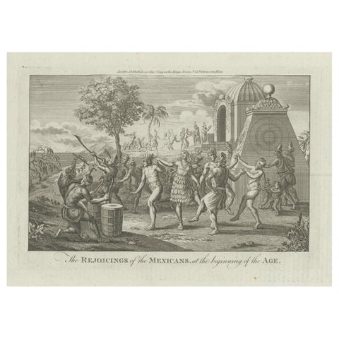 Celebration and Ritual: Engraving of Mexican Festivities in the Age of Discovery
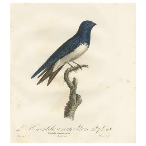 Large Antique Bird Print of a White Bellied Caribbean Martin, circa 1807
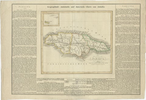 Detailed Antique Map of Jamaica - Published in Weimar, 1825
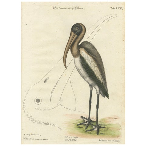 Antique Hand-Colored Engraving of the American Pelican, 19th Century
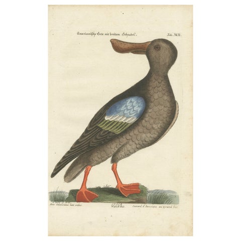 Hand-Colored Engraving of the American Duck with Broad Bill by Seligmann, c.1770
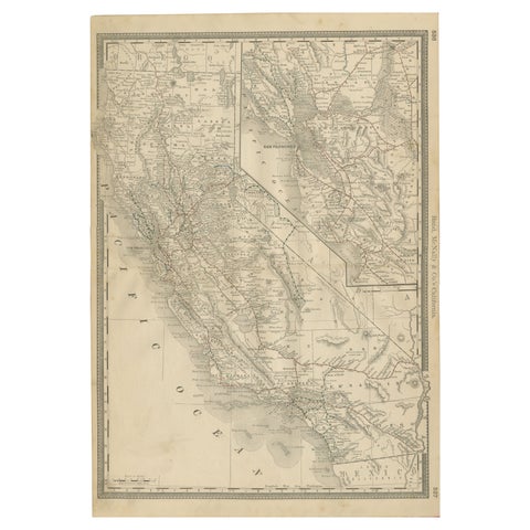 1888 California Map – The Golden State’s Railroads, Cities & Counties
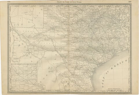 Texas Antique Map 1888 – Railroads, Counties & Frontier Settlements
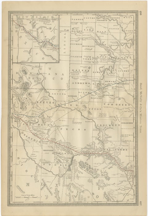 Western Texas Antique Map 1888 – Railroads, Counties & Frontier Towns
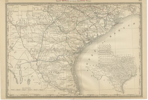 Antique Map 1888 – Southern Texas Railroads, Counties & Settlements
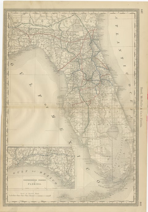 Florida 1888 Antique Map – Railroads, Settlements & Gulf Coast Detail
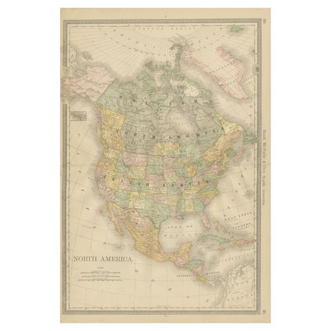 North America Antique Railroad Map c.1888 – U.S., Canada & Mexico
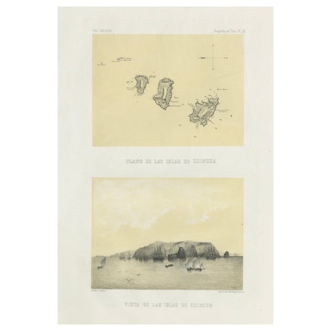 Chincha Islands Antique Lithograph 1865 – Map & Coastal Scene, Peru
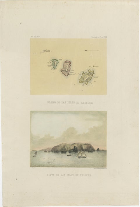 Hand-colored lithograph map and view of the Chincha Islands, Peru – 1865
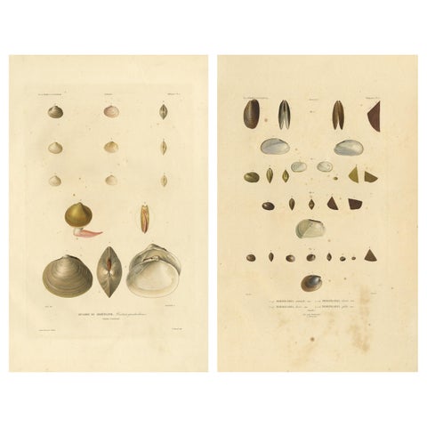 Antique Conchology Prints – Greenland Bivalves and Modiolaria Shells, 1842
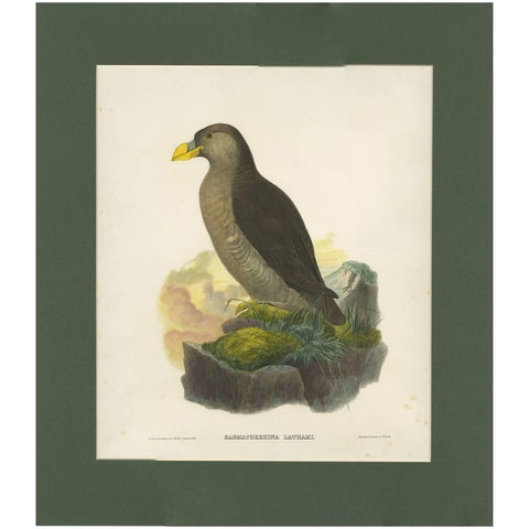 Antique Bird Print of a Latham's Guillemot Made after J. Wolf, 1868
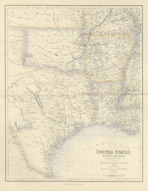 Antique Map of Texas and Louisiana with Indian Territory, circa 1860
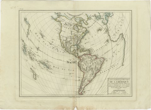 Antique Map of North and South America by Pierre Antoine Tardieu (1784-1869)
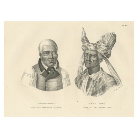 Portraits of Tammeamea I of Hawaii and Naba Leba of Solor by Brodtmann, 1836
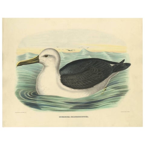 Antique Bird Print of a Yellow-Nosed Albatros Made After D.G. Elliot, 1869
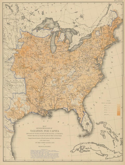 Pl. 35 Antique Chart of the US Taxation, 1874
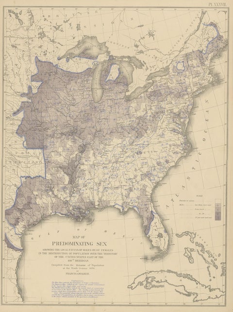 Antique Chart of the US Predominating Sex, 1874
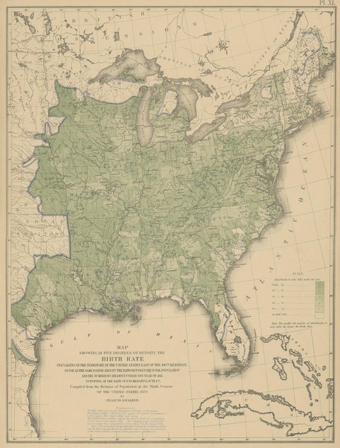 Pl. 40 Antique Chart of the US Birth Rate, 1874
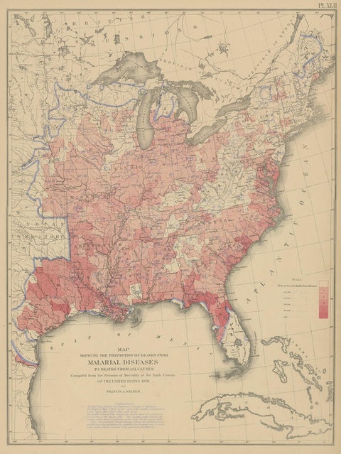 Antique Chart of the US Malarial Deaths, '1874'
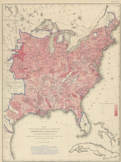 Pl. 45 Antique Chart of the US Inestinal Diseases Deaths, 1874
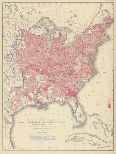 Antique Chart of the US Enteric, Cerebro-Spinal, Typhus Deaths, '1874'
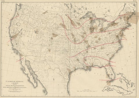 Pl. 9 Antique Map of the Air Movement of the United States by Walker '1874'
Sharing the sale? Download the Black Friday banners.