Maps & PrintsBartele Gallery · Langweer
Home / Antique Maps / America

America · 18th century

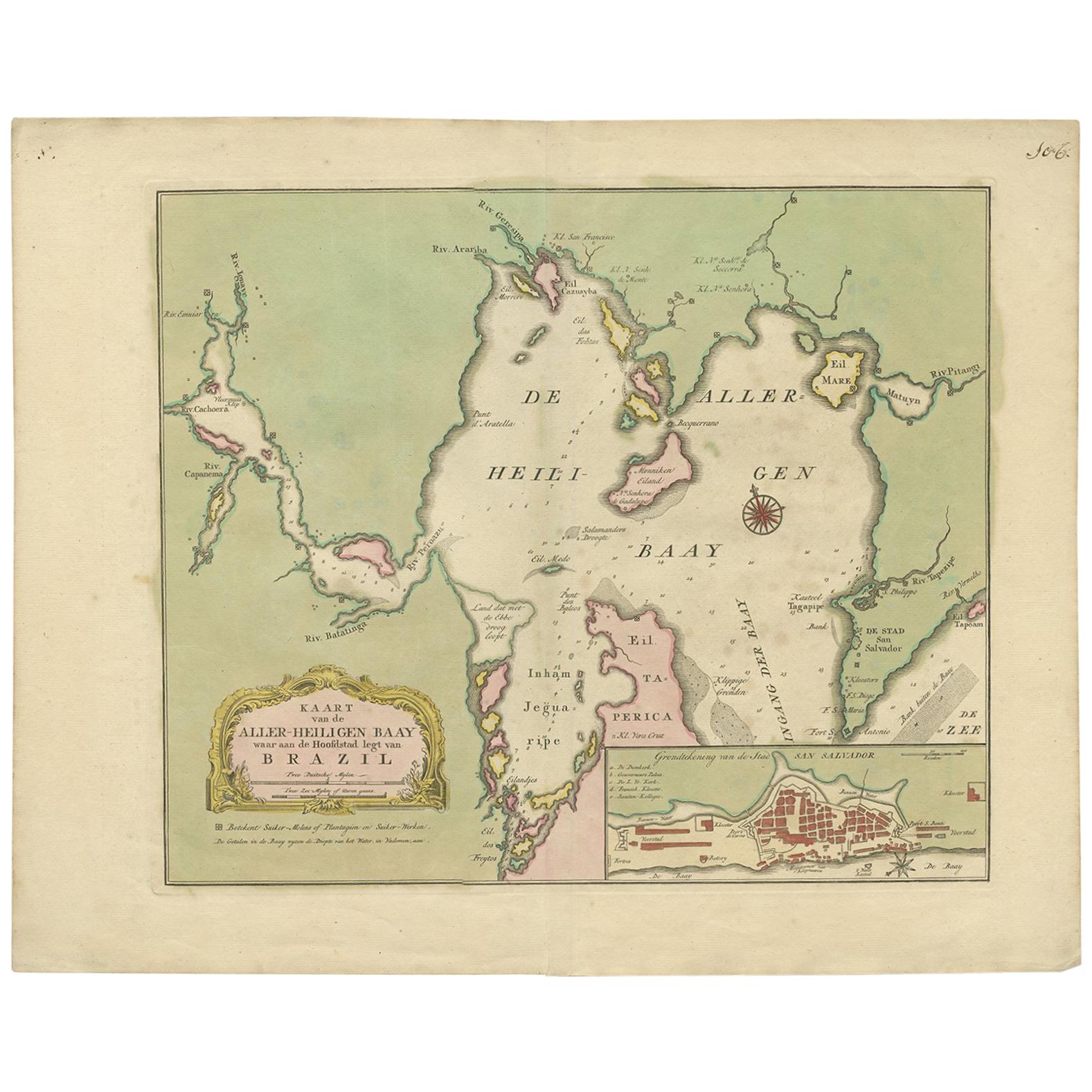
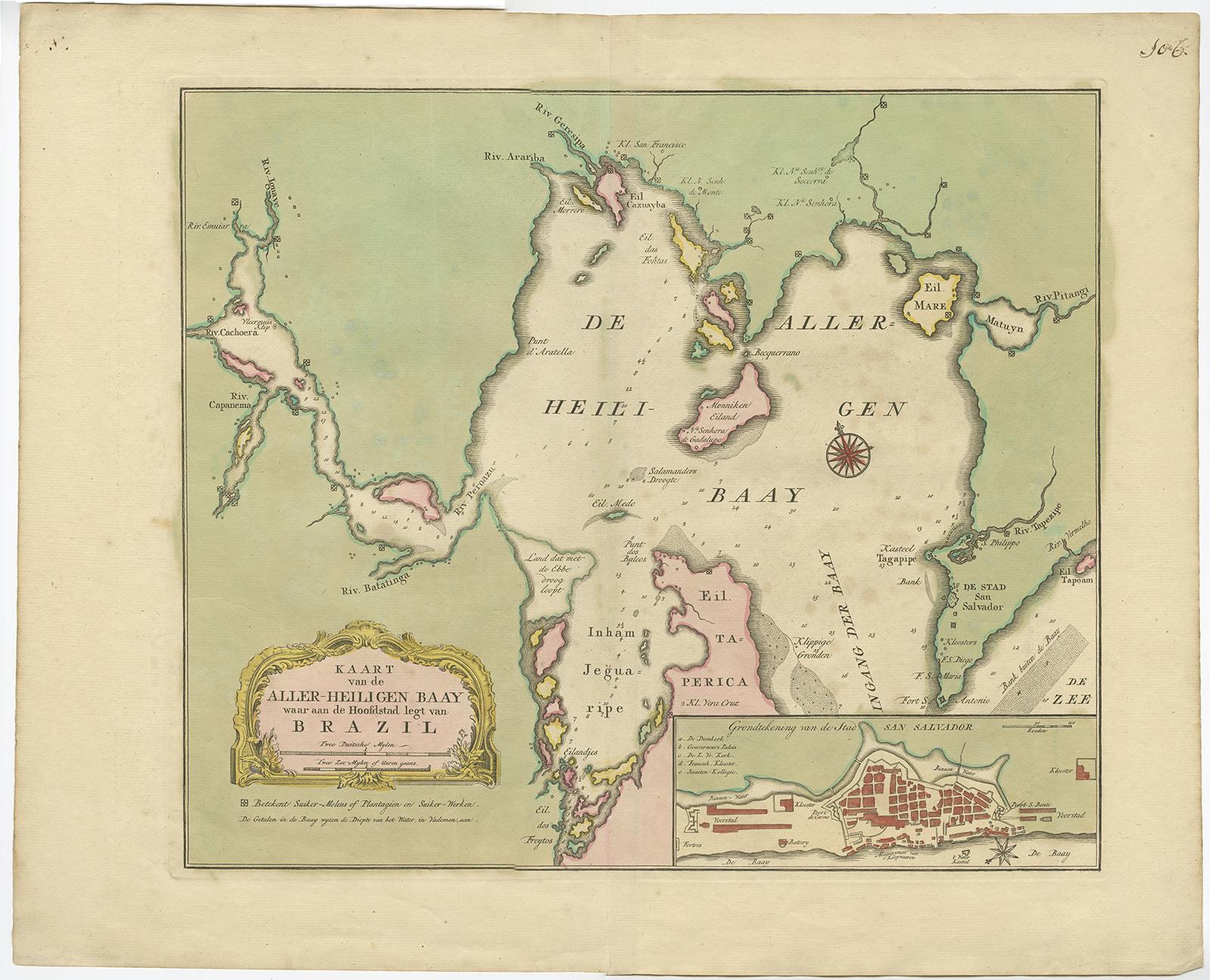
Antique Map of the Bahia Todos Santos 'Brazil' by Tirion, circa 1750

€ 550

One of a kind: this is the sheet in the photographs. Ships from Langweer, the Netherlands.

Date
1750
Sheet size
42 × 52 cm (16.5 × 20.5 in)
Condition
Good
Reference
BG-00642

Condition

Great original (contemporary) hand coloring, small tear on folding line. Please study image carefully.
About this sheet

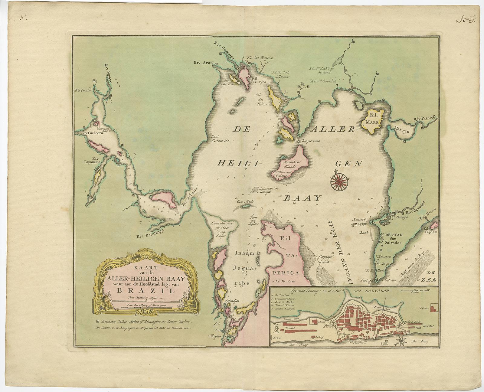
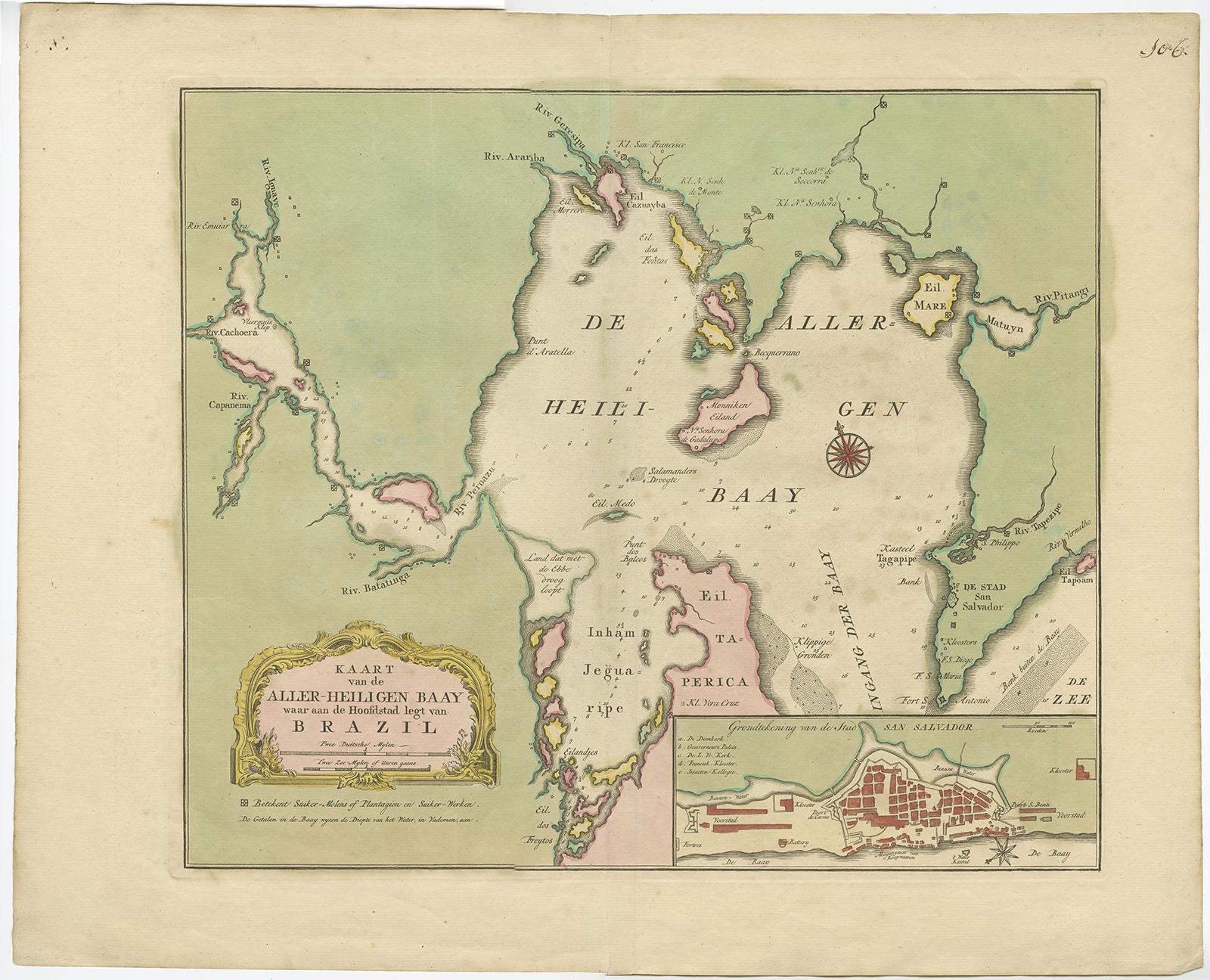
Antique map titled 'Kaart Van De Aller-Heiligen Baay Waar aan de Hoofdstad legt van Brazil.', Detailed map of the Bahia Todos Santos in Brazil, with a large inset plan of San Salvador.

More from America

Ask about this sheet

Antique Map of the Bahia Todos Santos 'Brazil' by Tirion, circa 1750
1750 · Ref. BG-00642 · € 550
We reply by email, usually within one working day.