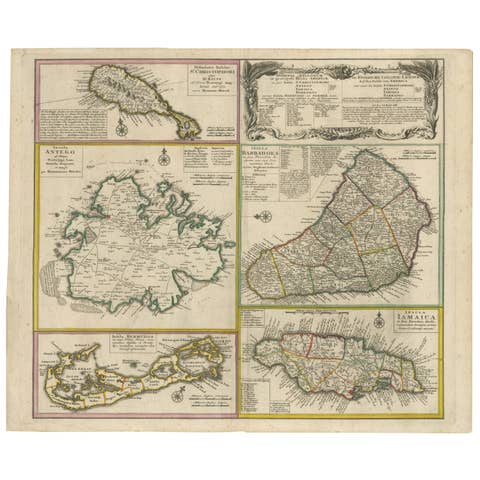
Antique Map with Hand Coloring of the United States and the Caribbean
€ 560
Original antique · The actual sheet photographed · Certificate of authenticity on request · Sold unframed · Worldwide shipping from € 15 (rates)
Sheet size
38.3 × 47.5 cm (15.1 × 18.7 in)
Condition
Good
Reference
BG-13190-5
What the condition grades mean
Excellent
Bright and clean, with no faults worth mentioning.
Very good
Only light signs of age, such as faint toning.
Good
Normal signs of age for a sheet of this period: toning, some foxing, small marks or neat old repairs.
Fair
Clear faults such as staining, tears or repairs, priced to match.
Every fault we see is written in the condition note, and the whole sheet is shown uncropped in the photos.
Condition
Wear consistent with age and use. General age-related toning. Original folding line. Shows some wear and foxing, blank verso. Few small defects in margins. Please review the images for further condition details.
About this sheet
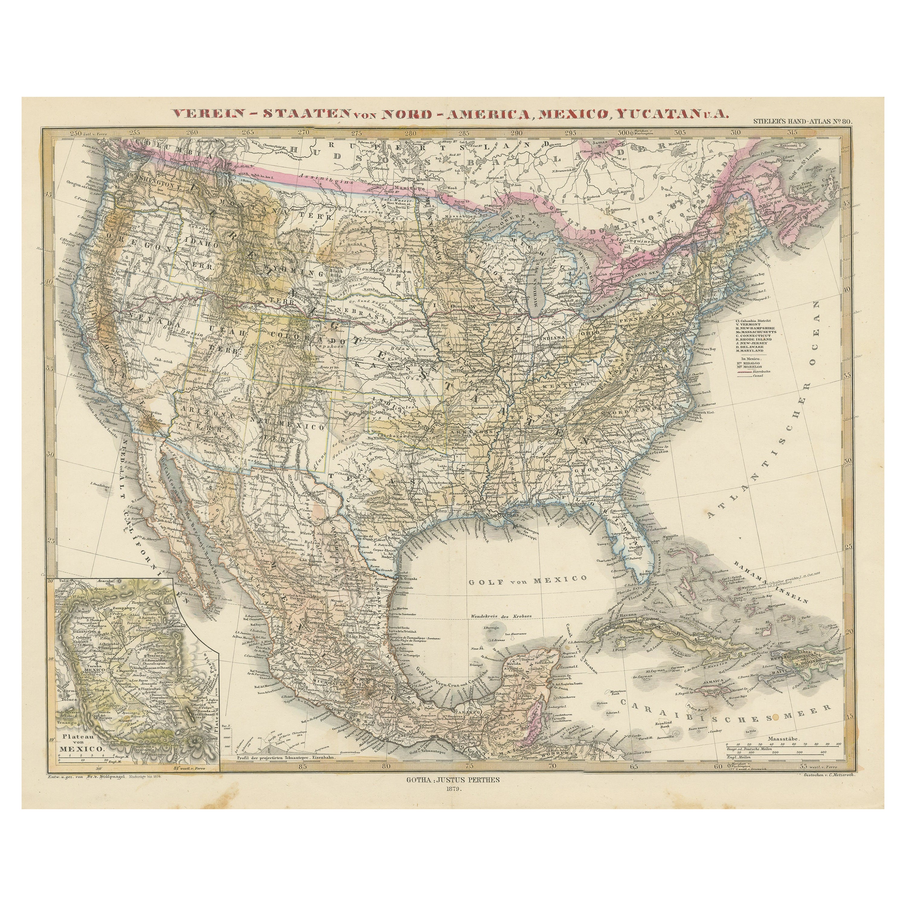
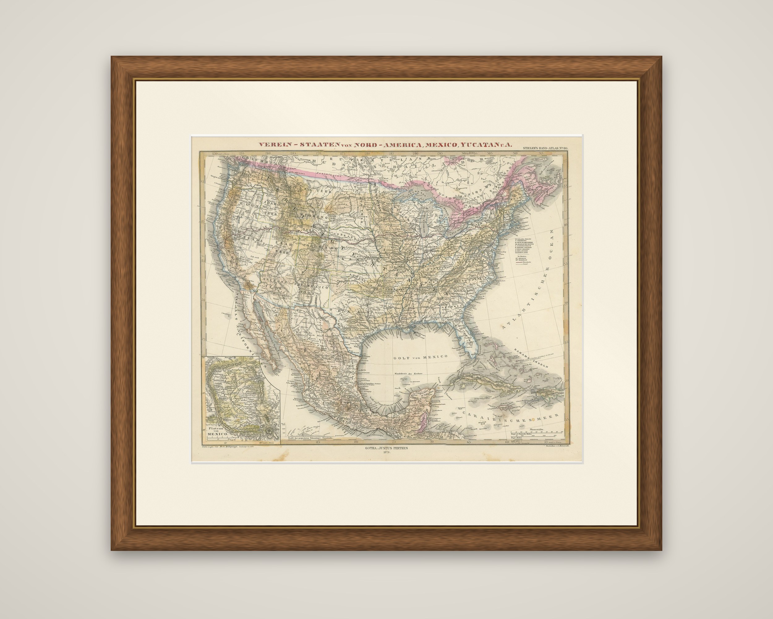
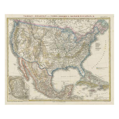
The United States, Mexico and the Caribbean in one sheet from Stieler's Hand-Atlas, published by Justus Perthes of Gotha, circa 1879. The title across the top reads "Verein-Staaten von Nord-America, Mexico, Yucatan u.a.", and the imprint "Gotha: Justus Perthes" appears at the foot. The engraved sheet carries hand-applied outline color, with the Canadian border in pink.
The map shows the entire United States from the Pacific to the Atlantic, with railroads, rivers, state and territorial boundaries and relief by hachures. It continues south across the Gulf of Mexico ("Golf von Mexico") to cover Mexico, the Yucatan peninsula and the northern edge of Central America, and east to Cuba, the Bahamas and the other Antilles, lettered "Bahama-Inseln" and "Caraibisches Meer". An inset at lower left, titled "Plateau von Mexico", enlarges the country around Mexico City.
For a collector of American cartography, the sheet is a compact European view of the whole United States around 1879, with the western territories still in place and the surrounding Spanish-speaking lands drawn in the same scale.