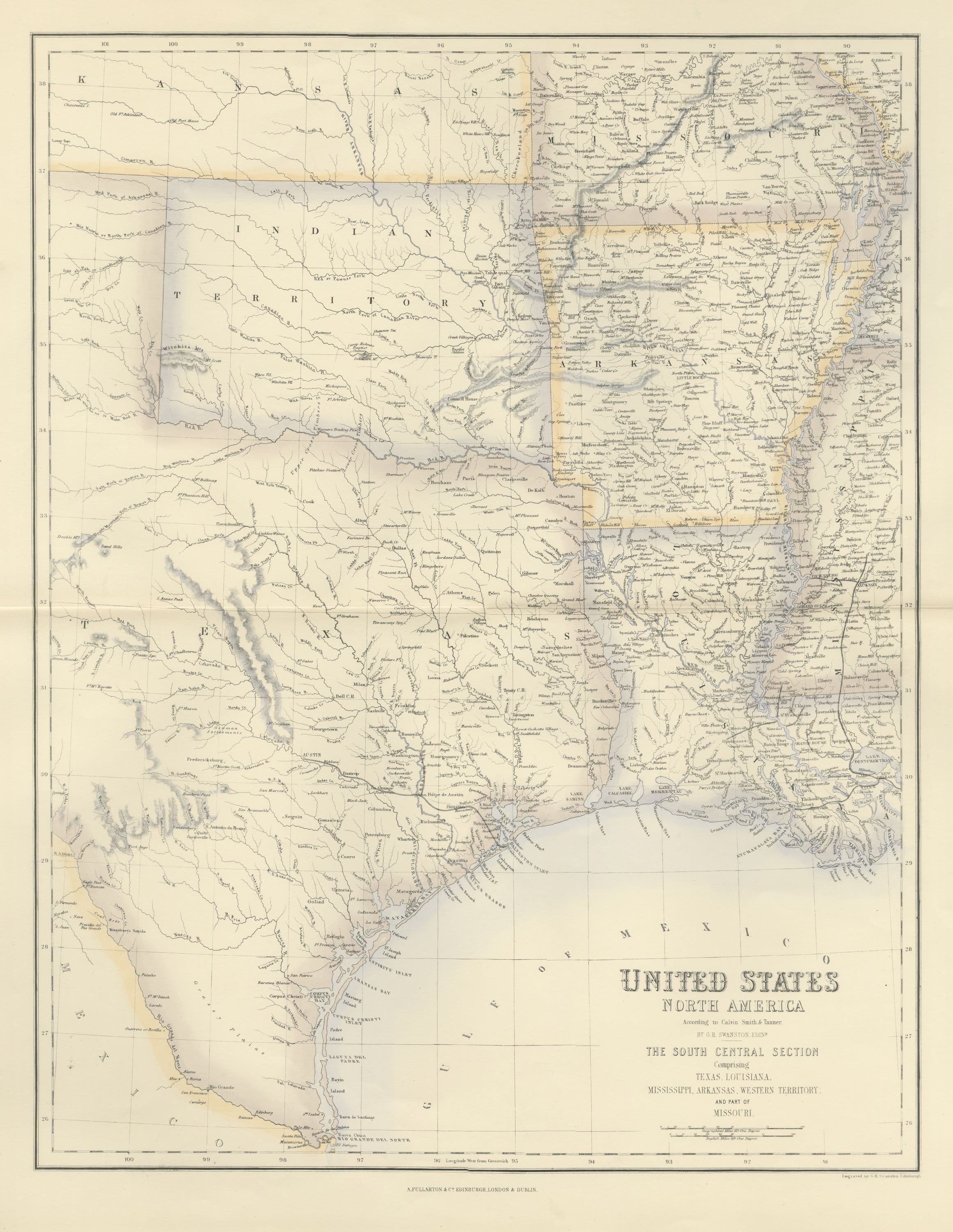
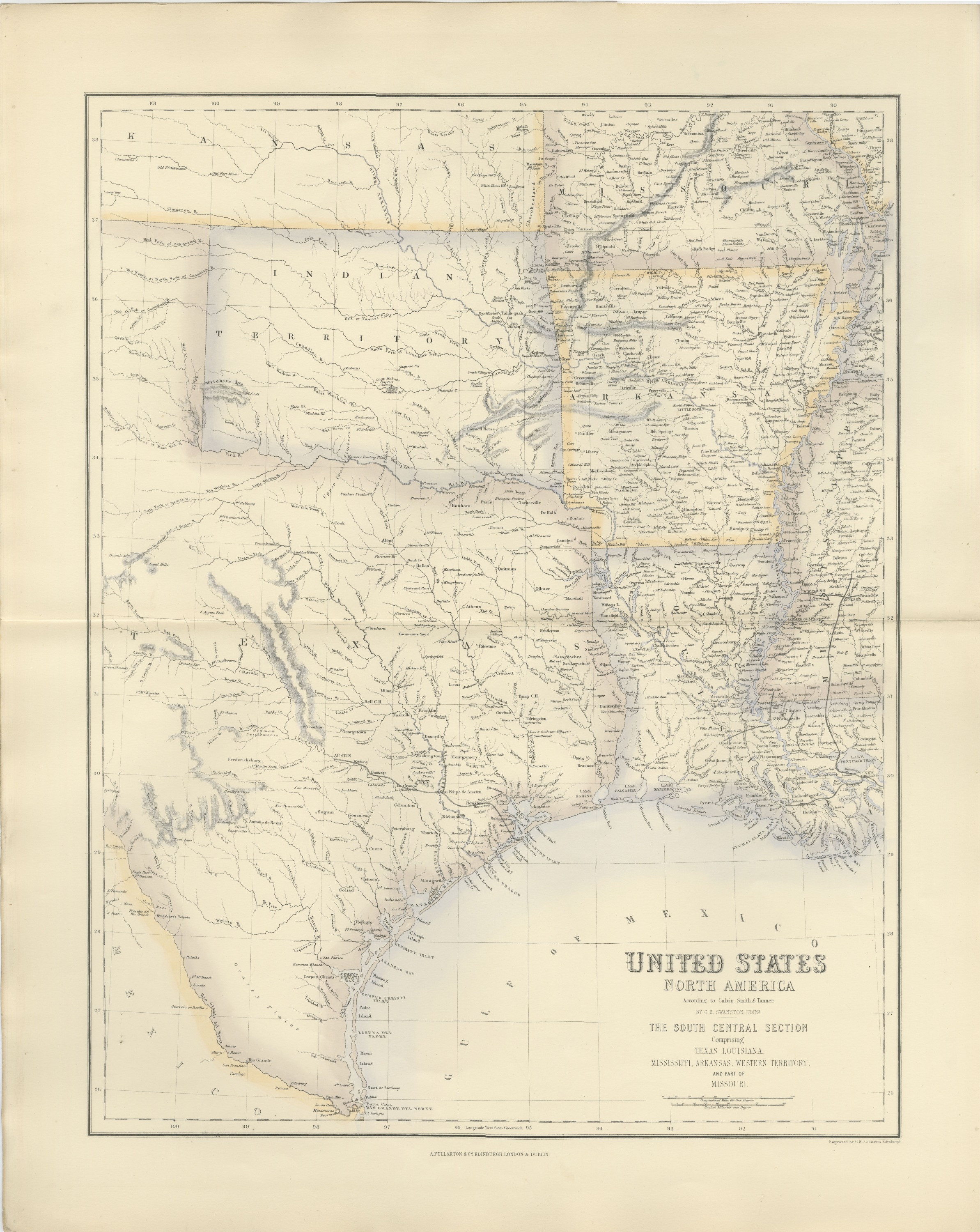
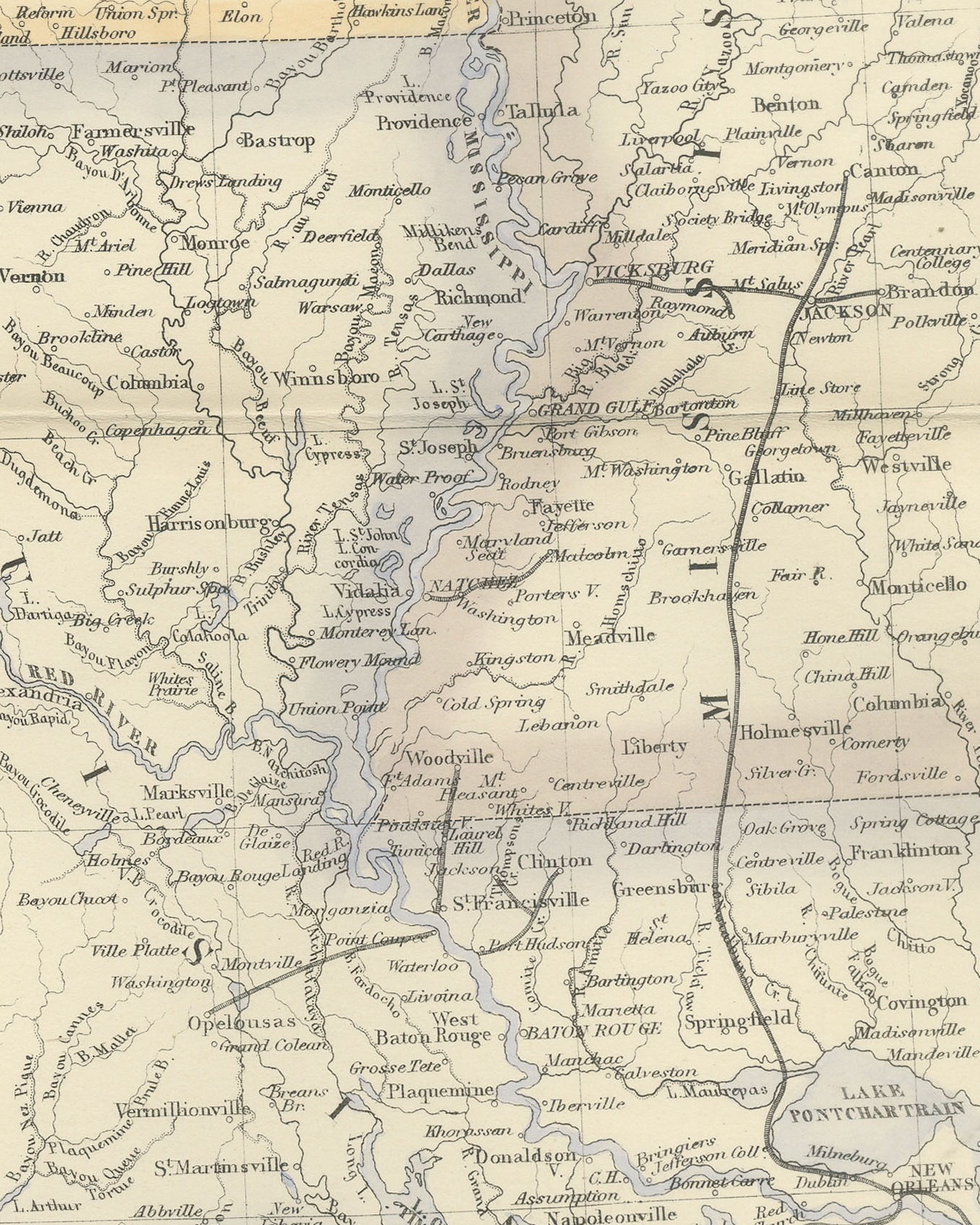
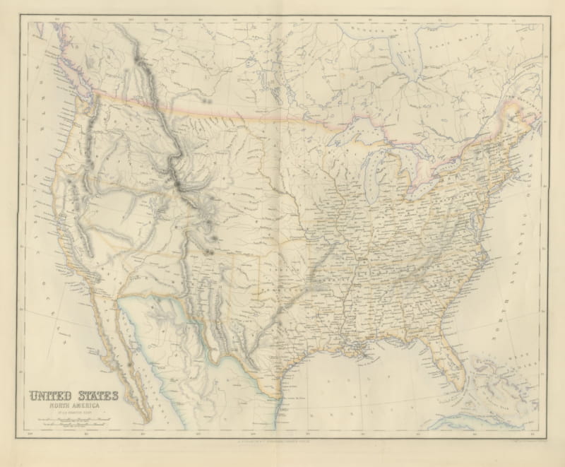
Antique Map of Texas and Louisiana with Indian Territory, circa 1860
€ 625
Original antique · The actual sheet photographed · Certificate of authenticity on request · Sold unframed · Worldwide shipping from € 15 (rates)
Date
circa 1860
Mapmaker / artist
Engraved by G. H. Swanston
Publisher
A. Fullarton and Co.
Technique
Engraving
Coloring
Hand colored
Condition
Good
Reference
BG-14396-12
What the condition grades mean
Excellent
Bright and clean, with no faults worth mentioning.
Very good
Only light signs of age, such as faint toning.
Good
Normal signs of age for a sheet of this period: toning, some foxing, small marks or neat old repairs.
Fair
Clear faults such as staining, tears or repairs, priced to match.
Every fault we see is written in the condition note, and the whole sheet is shown uncropped in the photos.
Condition
Even age toning. Handling soiling along the bottom and top edges. Scattered light foxing in the margin. Complete sheet, all four corners present. Several larger brown marks. Original center fold as issued.
About this sheet
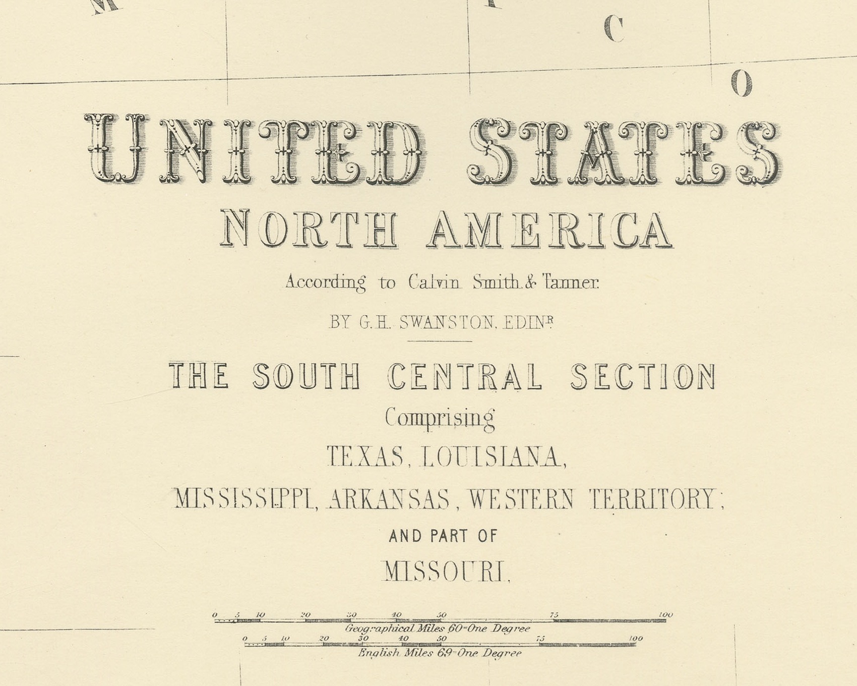
This is an original antique engraved map, colored by hand, from Fullarton's Companion Atlas to the Gazetteer of the World. The engraved title reads "UNITED STATES NORTH AMERICA", with the heading "THE SOUTH CENTRAL SECTION Comprising TEXAS, LOUISIANA, MISSISSIPPI, ARKANSAS, WESTERN TERRITORY; AND PART OF MISSOURI." The map covers eastern and central Texas from about 101 degrees west across Louisiana and Arkansas to Jackson in the state of Mississippi, and from Kansas at the top down to the mouth of the Rio Grande on the Gulf of Mexico. Boundaries are washed in color.
Along the Texas coast are "GALVESTON BAY", "MATAGORDA BAY", "CORPUS CHRISTI BAY", "LAGUNA DEL PADRE" and "RIO GRANDE DEL NORTE", with "Palo Alto" and "Resaca de la Palma" named near Brownsville and Matamoros. Inland are "AUSTIN", "S. Antonio de Bexar", "German Settlements" and "Grassy plains". Above Texas, "INDIAN TERRITORY" is lettered with the "Witchita Mts", and "KANSAS" runs across the top. Just south of the "Red R." are the "Upper Cross Timbers" and "Lower Cross Timbers". To the east are "VICKSBURG", "NATCHEZ", "BATON ROUGE" and "LAKE PONTCHARTRAIN". Two scale bars read "Geographical Miles 60 = One Degree" and "English Miles 69 = One Degree".
The title credits "According to Calvin Smith & Tanner" and "BY G.H. SWANSTON, EDINR." Below the bottom border at the lower right is the engraver's line "Engraved by G.H. Swanston Edinburgh", and the imprint in the center reads "A. FULLARTON & Co. EDINBURGH, LONDON & DUBLIN."
The Companion Atlas to the Gazetteer of the World was published by A. Fullarton and Co. of London, Edinburgh and Dublin and issued to subscribers in parts. The original printed wrapper of Part 7 survives with these maps; it bills forty-three maps, names G. H. Swanston as engraver and is marked "Colored Copy". Texas was admitted to the Union in 1845, and the battles of Palo Alto and Resaca de la Palma, both lettered near Brownsville, were fought in May 1846.
Condition: Even age toning. Handling soiling along the bottom and top edges. Scattered light foxing in the margin. Complete sheet, all four corners present. Several larger brown marks. Original center fold as issued.
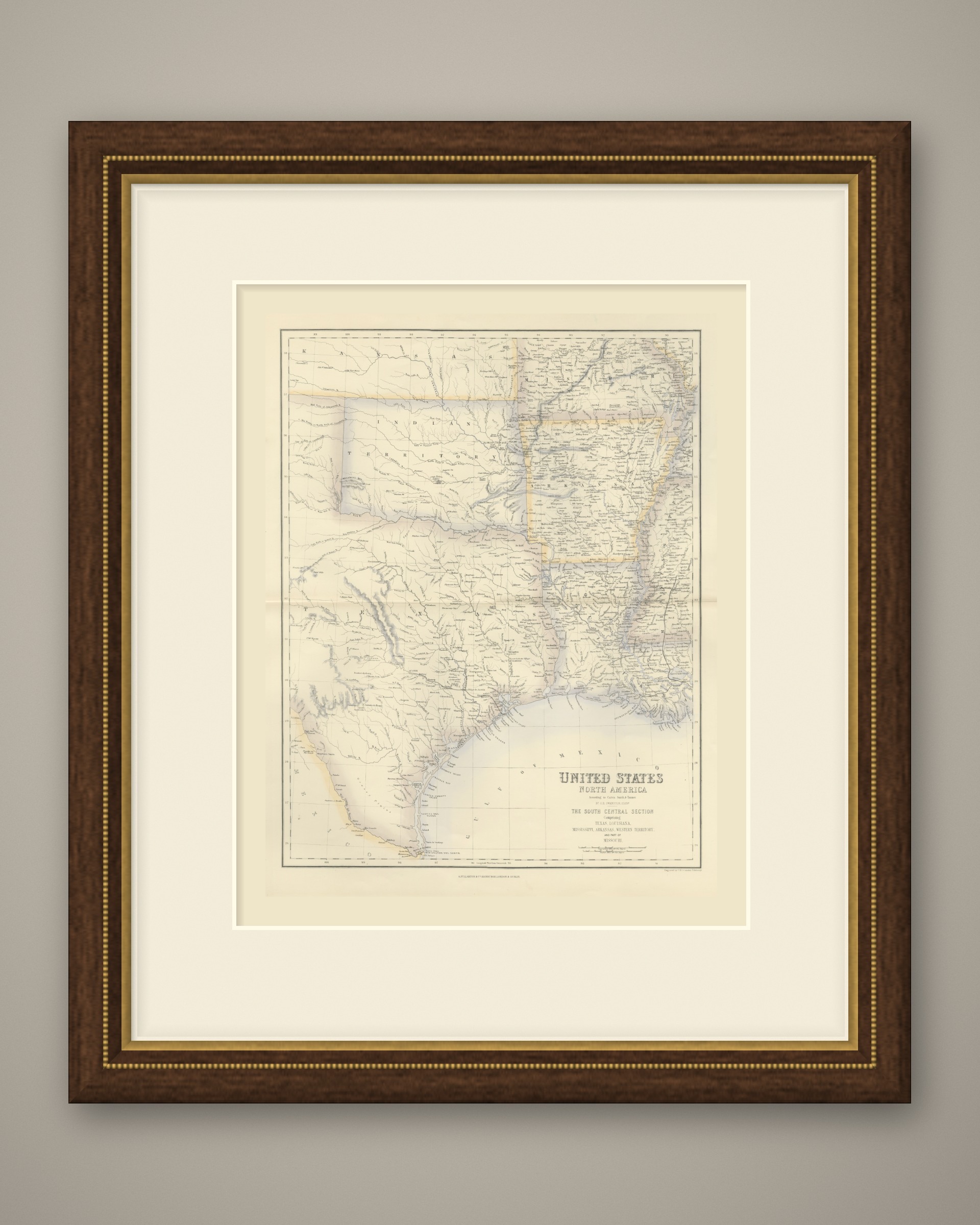
This is an original antique map, not a modern reproduction. This item is sold unframed. Any framed or interior images are shown for presentation and inspiration only, unless the listing explicitly states that the item is sold framed.