Detailed Antique Map of Jamaica - Published in Weimar, 1825
€ 540
Original antique · The actual sheet photographed · Certificate of authenticity on request · Sold unframed · Worldwide shipping from € 15 (rates)
Date
1825
Sheet size
62 × 43 cm (24.4 × 16.9 in)
Reference
BG-13744-3
What the condition grades mean
Excellent
Bright and clean, with no faults worth mentioning.
Very good
Only light signs of age, such as faint toning.
Good
Normal signs of age for a sheet of this period: toning, some foxing, small marks or neat old repairs.
Fair
Clear faults such as staining, tears or repairs, priced to match.
Every fault we see is written in the condition note, and the whole sheet is shown uncropped in the photos.
Condition
Good, given age. Fold as published. General strong age-related toning and/or minor defects from handling, mainly around the edges. Please study scan carefully.
About this sheet
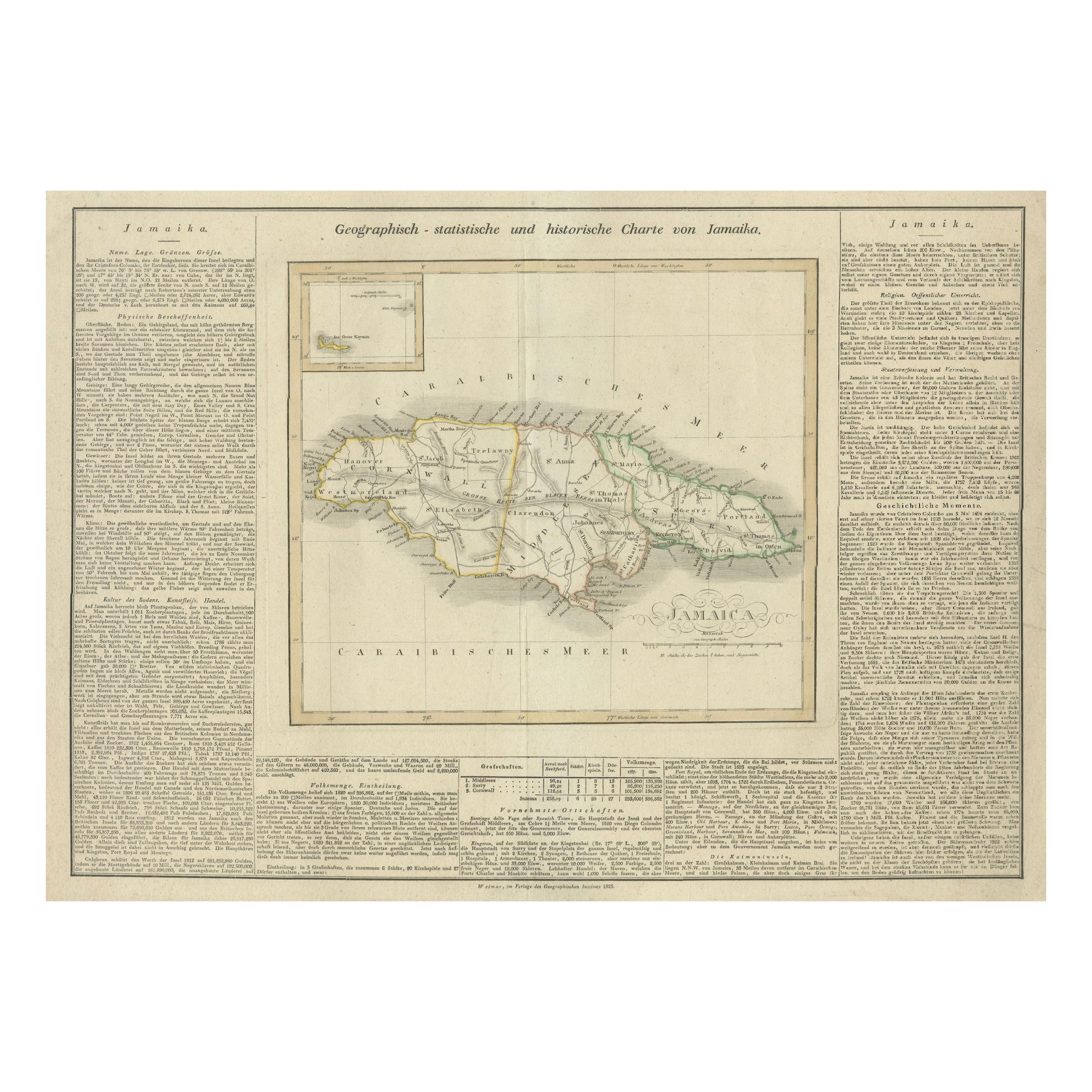
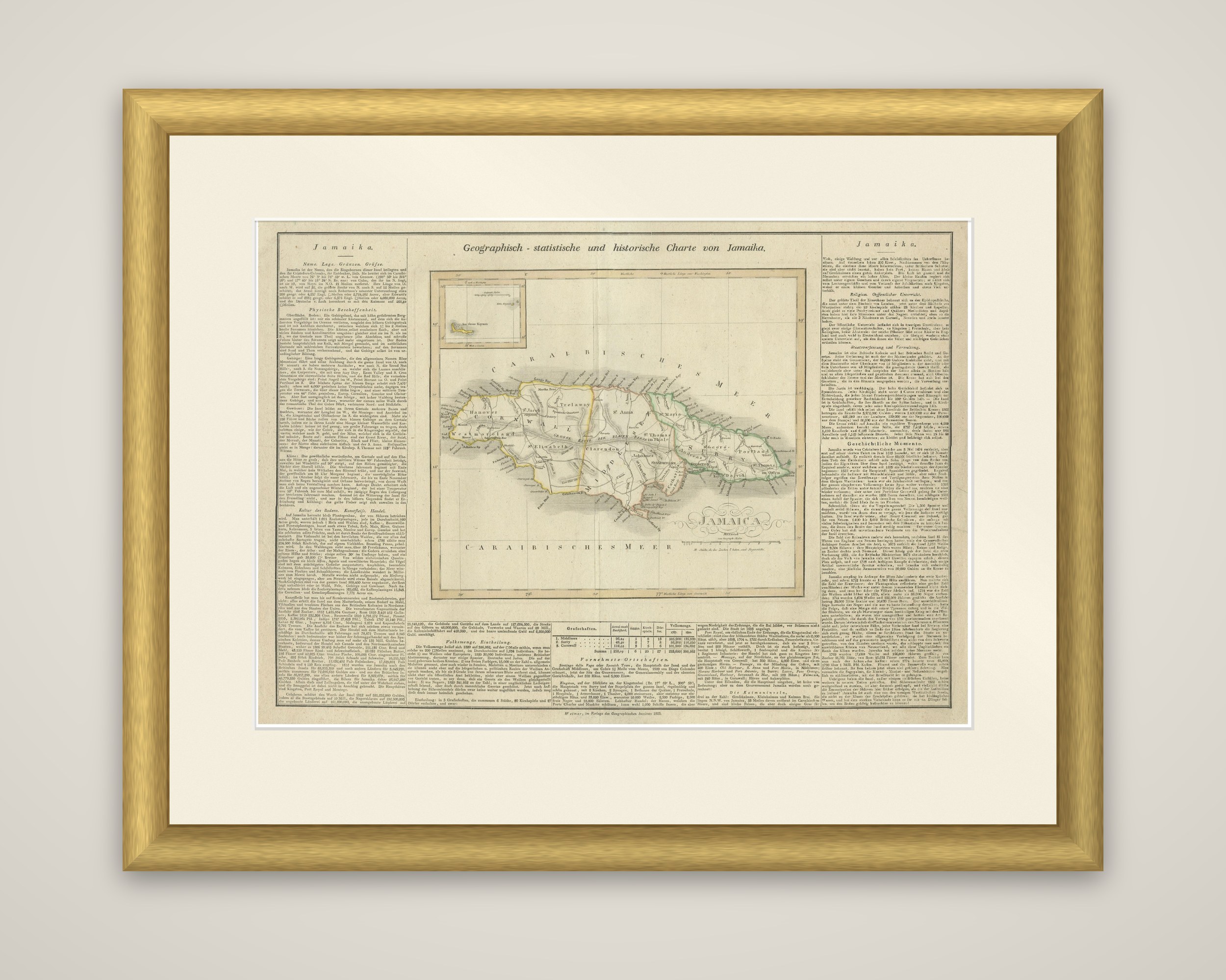
Jamaica in a German atlas edition, a map engraved and published in Weimar in 1825, with outline color. The sheet is titled "Geographisch-statistische und historische Charte von Jamaika" and comes from an atlas that appeared in six editions in English, French and German between 1822 and 1827; this is a German issue.
The island sits at the center under the Caribbean Sea, "Carabischesmeer" in the German lettering, with its parishes outlined in separate colors and its towns, roads and coastal names engraved in a fine hand. A small inset sits at the upper left, and a decorative title block for "Jamaica" is placed on the map itself. Latitude and longitude are marked around the neat border.
What sets the sheet apart is its text. Two broad columns of printed German run down both sides of the map under the heading "Jamaika", and a table of statistics and further text stretch below it. The columns deal with the island's position, climate, soil, towns, government and history, so that the sheet works as a short geography of Jamaica as well as a map.