maps-prints.com
✦
Black Friday Sale
Friday 20 to Monday 30 November: up to 30% off original antique maps and prints
The terms
- Up to 30% off selected original antique maps and prints. Every piece is an original, printed in its own time; none is a reproduction.
- The sale runs from Friday 20 November to Monday 30 November. Sale prices shown here apply from Friday 20 November; until then pieces are sold at their regular price.
- Free FedEx shipping on qualifying orders placed on our own websites: USA, Canada, UK and Europe over $500 / €450; rest of the world over $750 / €675. Smaller orders pay our normal shipping rate.
- Orders placed from 15 to 30 November ship from 1 December, in time for Christmas. Our shipping partner is InXpress.
- Each piece is unique, so the sale is while stock lasts.
Collection:AllAmericanSea chartsMilitaryNatural historyFashionArchitectureBotanicalSacredEast Indies
Sale prices apply from Friday 20 November. Save the pieces you like with the heart and come back on Friday.
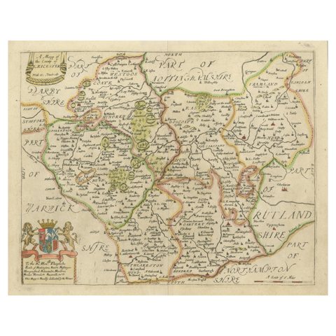 Leicestershire – Antique Map of Leicester by Richard Blome, Britannia 1673
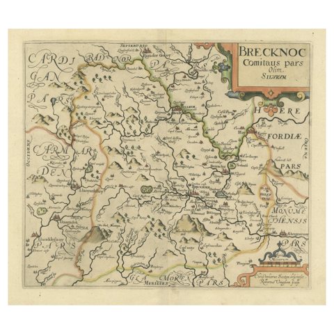 Original Antique Map of Brecknockshire, Wales, circa 1640
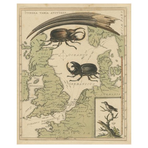 Interesting Map of Great Britain and Northern Europe with various Illustrations
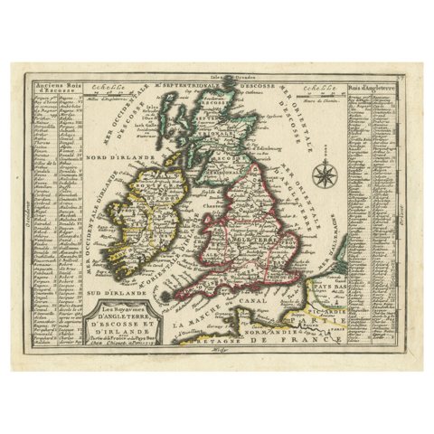 Map of the British Isles with Historical Kings, 1719
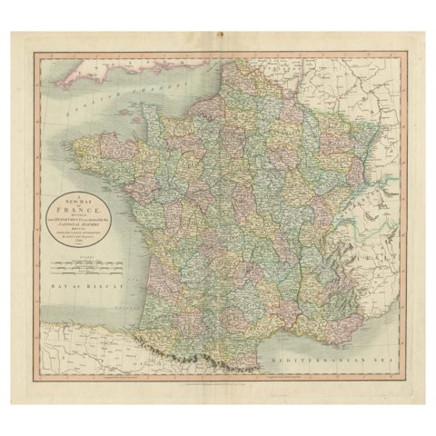 Antique Map of France Divided into Departments, with Original Hand Coloring
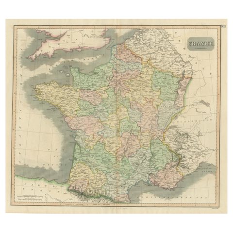 Large Antique Map of France with Original Hand Coloring
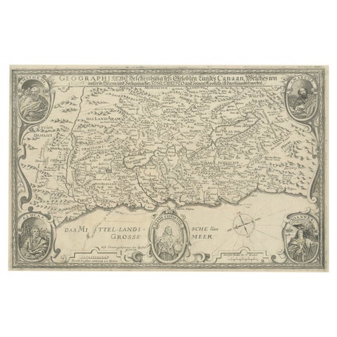 Scare Map of Canaan, with Portraits of the Apostles of Matheaus and Others
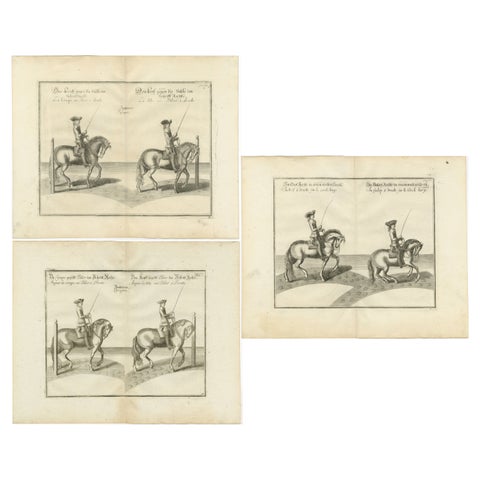 Set of 3 Antique Horse Riding Prints
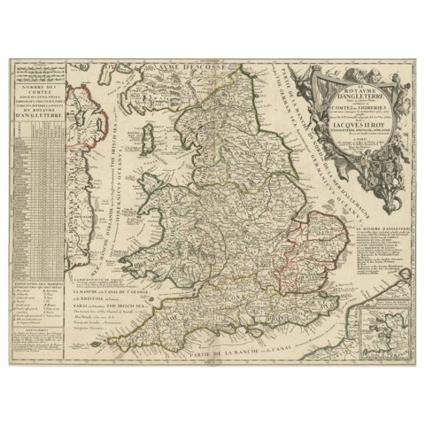 Original Antique Map of England and Wales with Large Cartouche
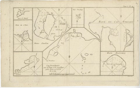 Antique Map of Cape Providence & St. David’s Cove – Strait of Magellan, 1774
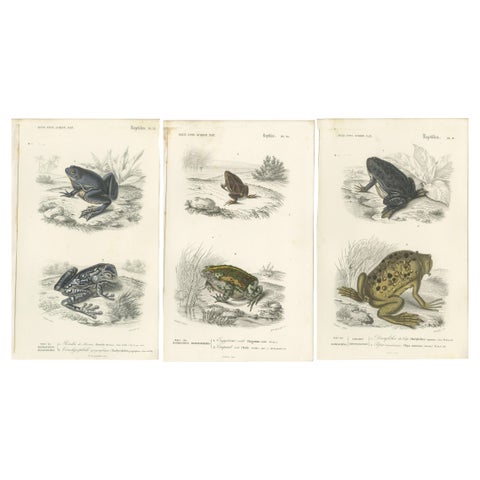 Set of 3 Antique Prints of Frogs and Toads
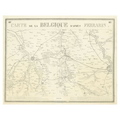 Antique Map of the Region near Cologne, Germany
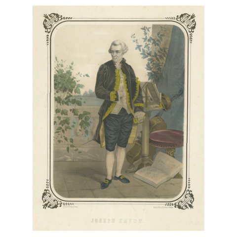 Antique Portrait of Franz Joseph Haydn
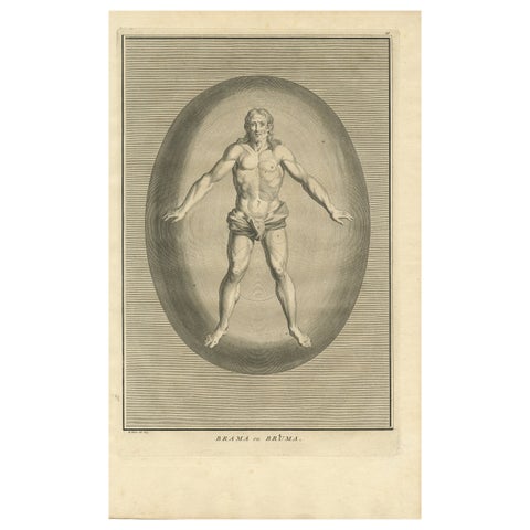 Antique Engraving of Brahma, the Hindu Creator God, 1723
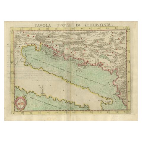 Antique Map of the Balkans with Coat of Arms
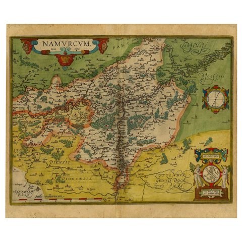 Antique Map of the Namen or Namur Region in Wallonia, Belgium
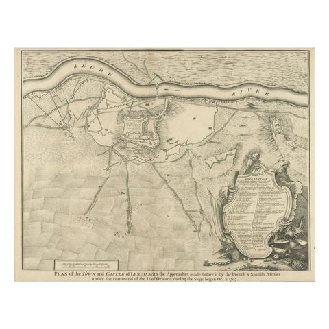 Antique Plan of the Fortifications of Lleida, Spain
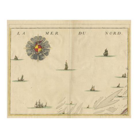 Antique Map of the North Sea and Dunkirk
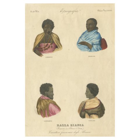 Antique Print of Natives from Ethiopia
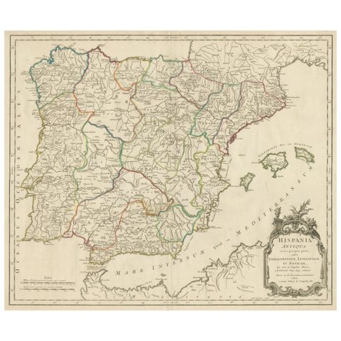 Large Antique Map of Ancient Spain and Portugal, Published in circa 1760
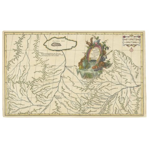 Original Antique Engrving of Chinese Tartary in the 18th Century, 1737
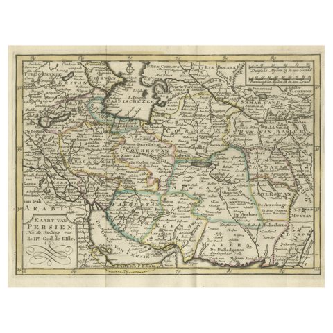 Authentic Old Map of Persia with Original Border Coloring, 1745
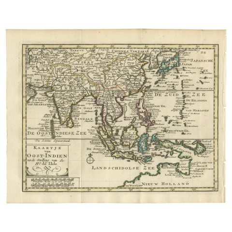 Authentic Old Map of Southeast Asia with Original Border Coloring, 1745
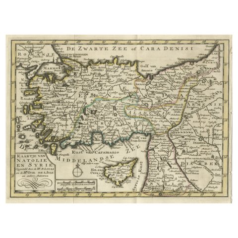 Old Map of Anatolia, part of modern-day Turkey, Armenia and Syria, 1745
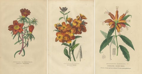 Floral Elegance: A Collection of Hand-Colored Engravings from 1845
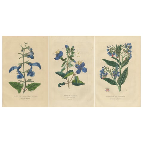 Flora's Chromatic Splendor: Hand-Colored Engravings of 1845
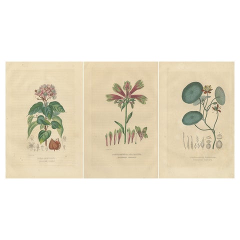 Heritage Blossoms: A Trio of 1845 Hand-Colored Botanical Engravings
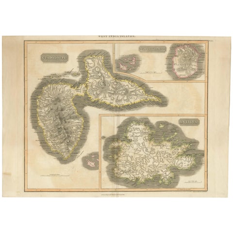 Large Antique Map of Guadeloupe and Antigua with Adjacent Isles, 19th Century
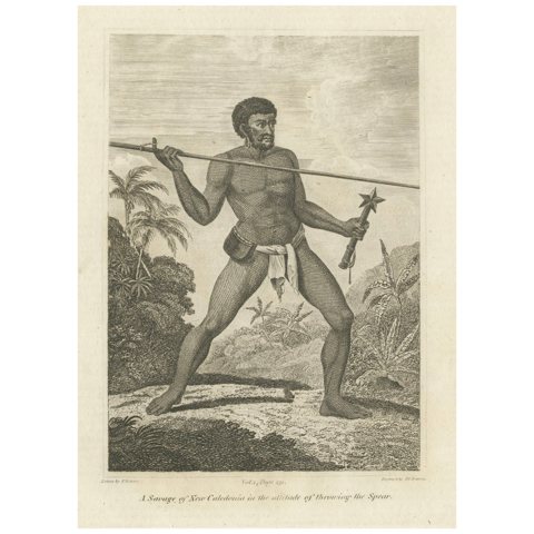 Vigilance in the Tropics: The Spear-Thrower of New Caledonia, 1801
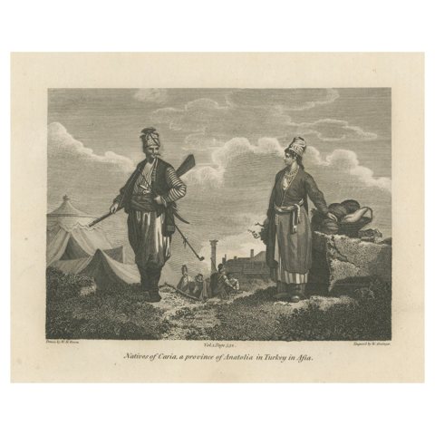 Natives Of Caria, A Province Of Anatolia In Turkey In Asia, 1801
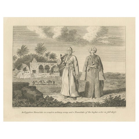 Mamluk Elegance: Military and Ceremonial Attire in Egypt, 1801
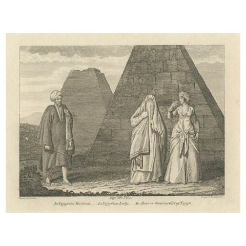 Society of the Nile: Mamluk, Lady, and Almee in Egypt, 1801
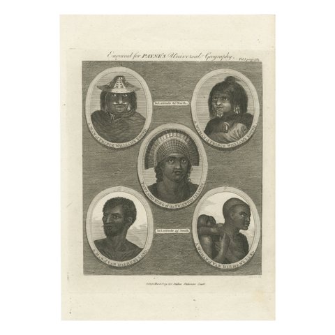 Portraits of the World: Engraved Illustrations for Payne's Universal Geography
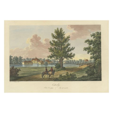 Gentle Repose at Österby: An 1824 Aquatint by Ulrik Thersner
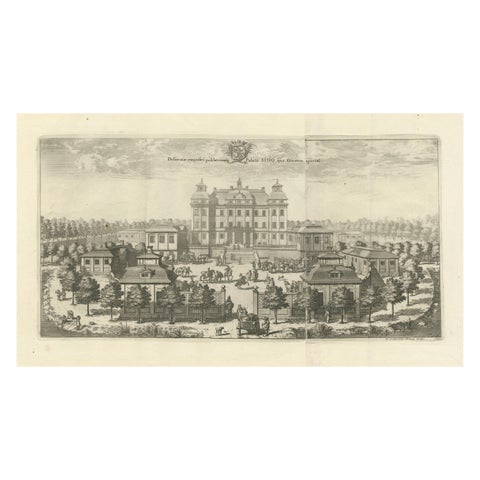 Baroque Opulence: The Eastern View of SIQVO Palace in Swidde's 1696 Engraving
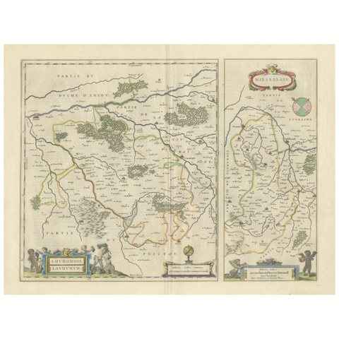 Loudun and Mirebeau: A Cartographic Masterpiece of 17th Century France by Blaeu
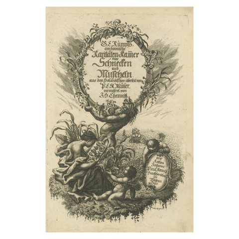 Rare German Frontispiece of Rumphius Cabinet of Curiosities, 1765
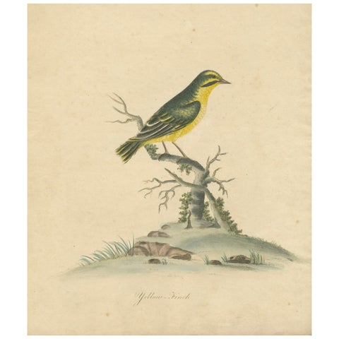 Late 18th-century Hand-Colored Copperplate Engraving of the Yellow Finch, 1794
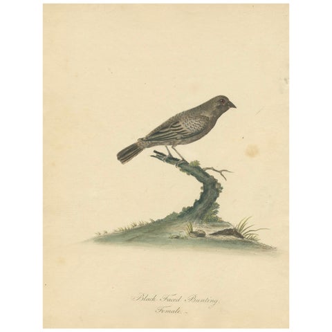 Old Original Engraving of the Female The Black-faced Bunting, 1794
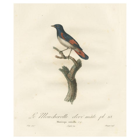 1807 American Redstart Illustration - 'Le Moucherolle doré mâle' Old Bird Print
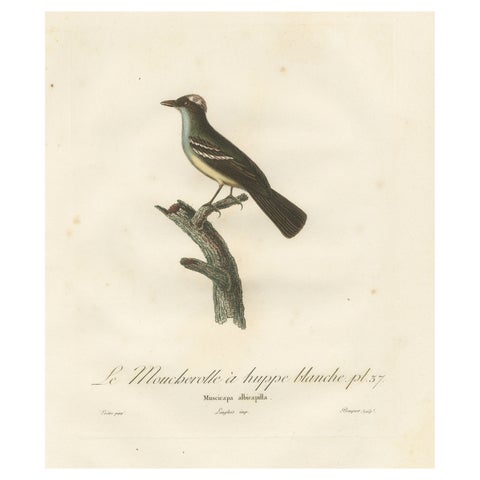 White-Crested Flycatcher - 'Le Moucherolle à huppe blanche' Ornithological Art
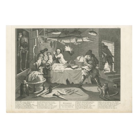 Hudibras Confronts Sidrophel and Whacum, Engraving by Cook after Hogarth, 1802
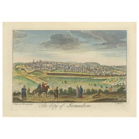 A General View of Jerusalem in the Early Part of the 18th Century" (circa 1752)
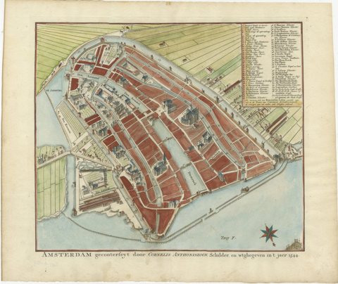 Handcoloured Engraved Map of Amsterdam, Published in ca.1760
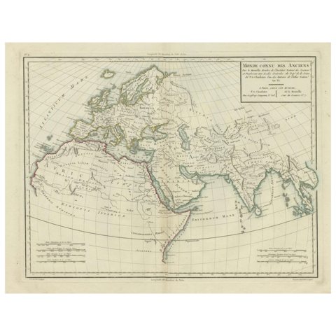 Ancient World Map: Europe, Africa & Asia - 1802 Tardieu Atlas
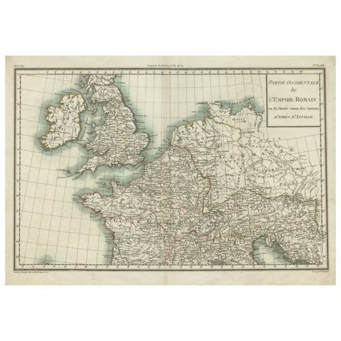 Western Roman Empire Map: British Isles & Gaul - 1802 Tardieu Atlas
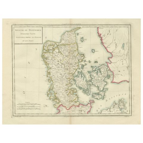 Map of Denmark Proper & Jutland: Early 19th Century from the 1802 Tardieu Atlas
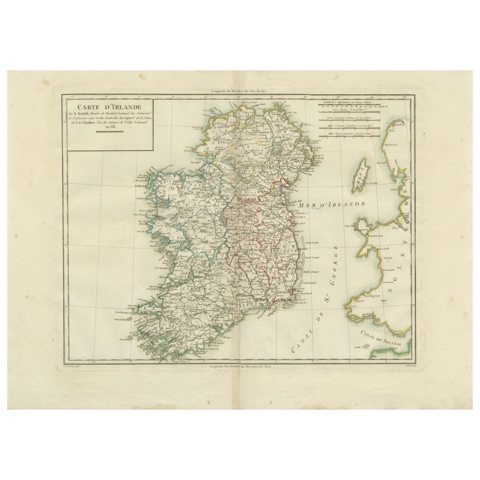 Map of Ireland: Early 19th Century - from the 1802 Tardieu Atlas
Sharing the sale? Download the Black Friday banners.