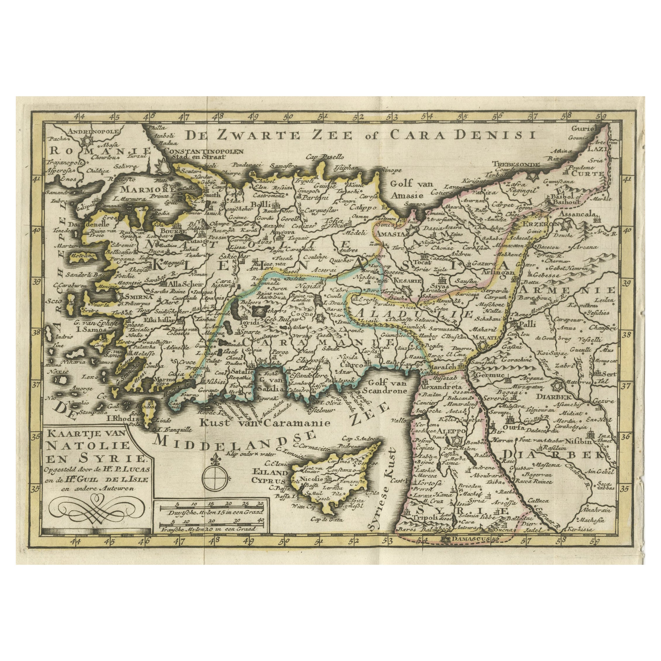
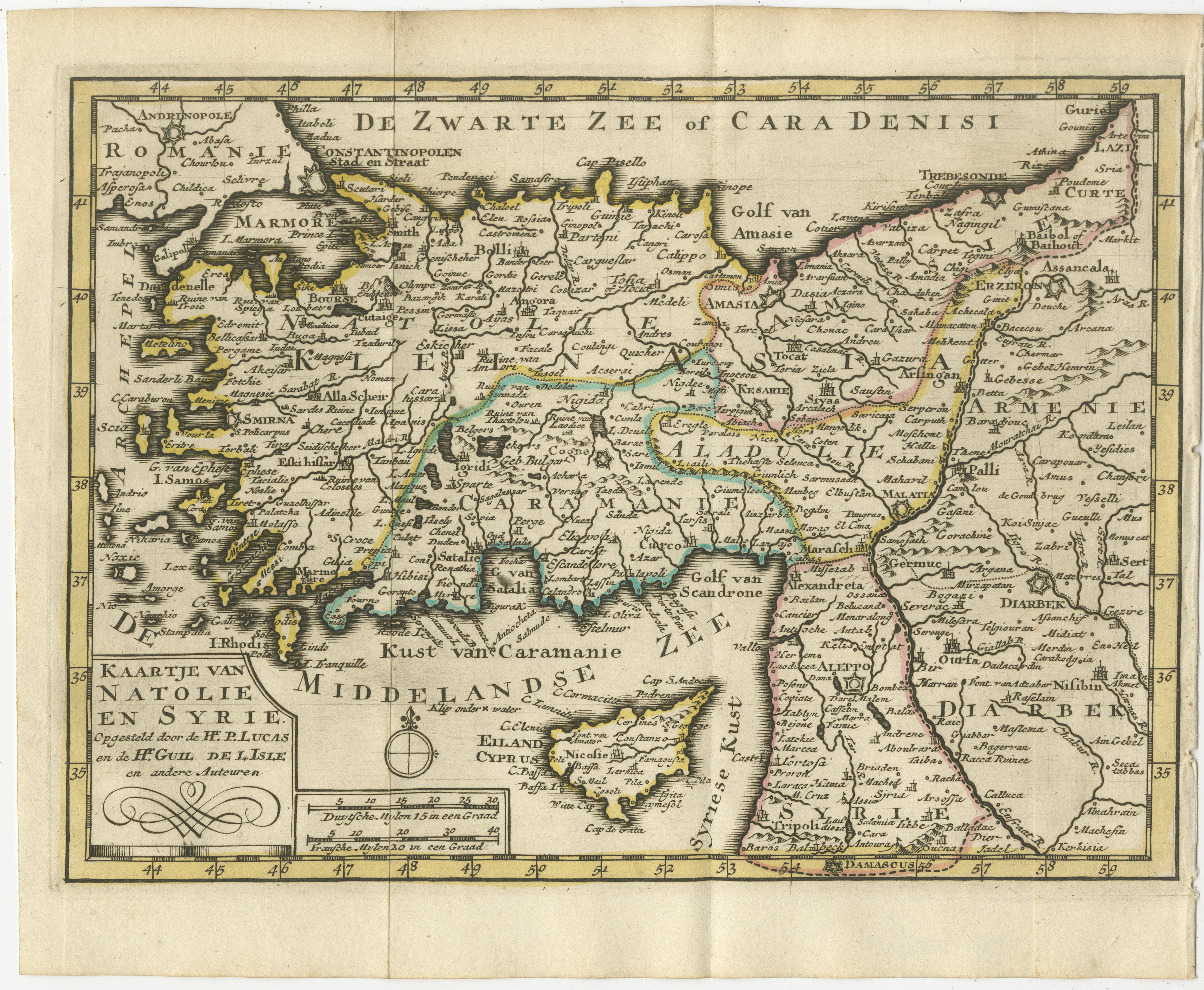
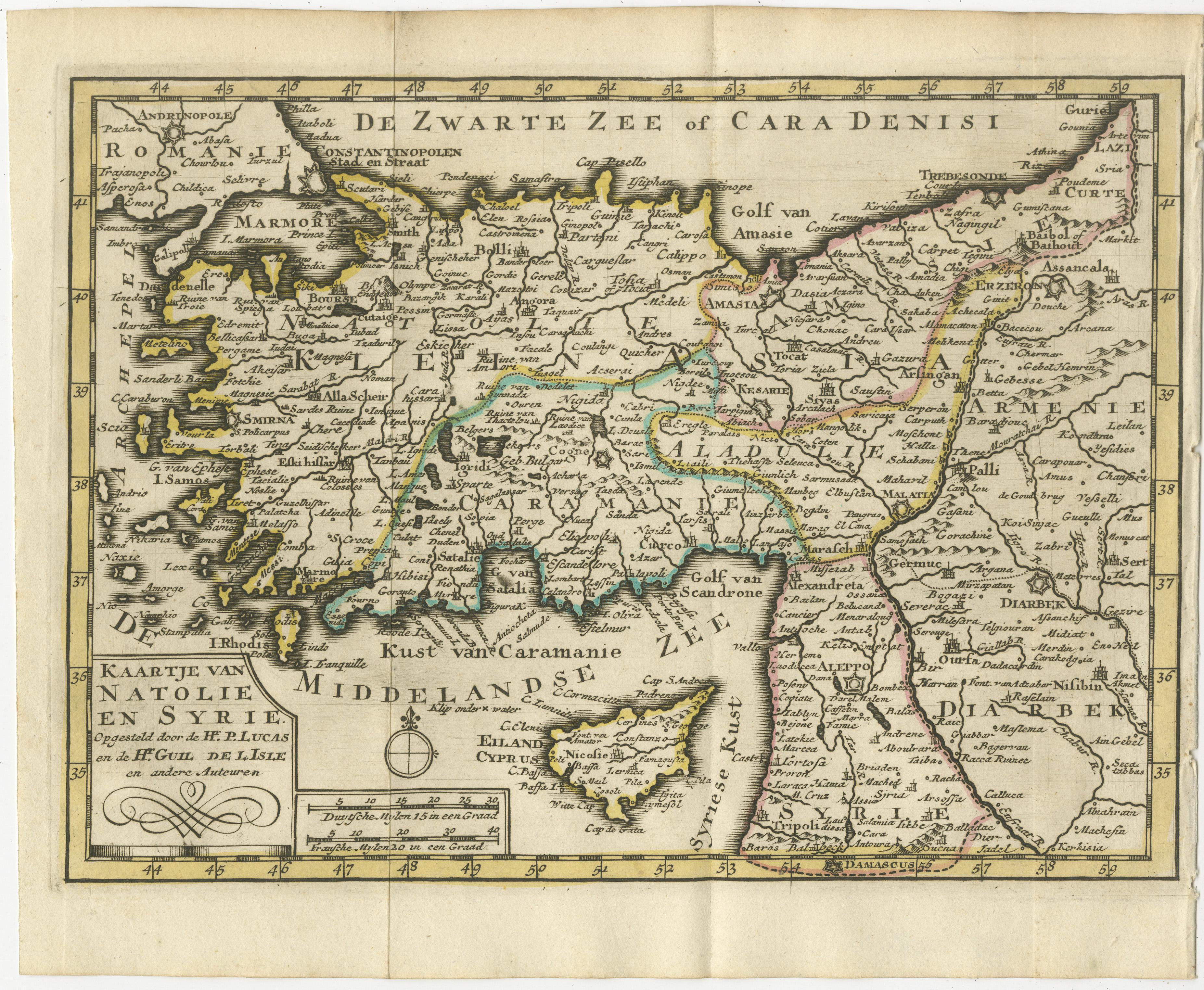
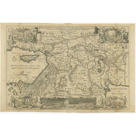
Old Map of Anatolia, part of modern-day Turkey, Armenia and Syria, 1745
€ 440
One of a kind: this is the sheet in the photographs. Ships from Langweer, the Netherlands.
Date
1745
Sheet size
17 × 24 cm (6.7 × 9.4 in)
Condition
Good
Reference
BG-11488-1
Condition
Very Good. Three folding lines. Tight margin on the right but image is not disturbed. Original Borderline coloring. Study the image carefully.
About this sheet
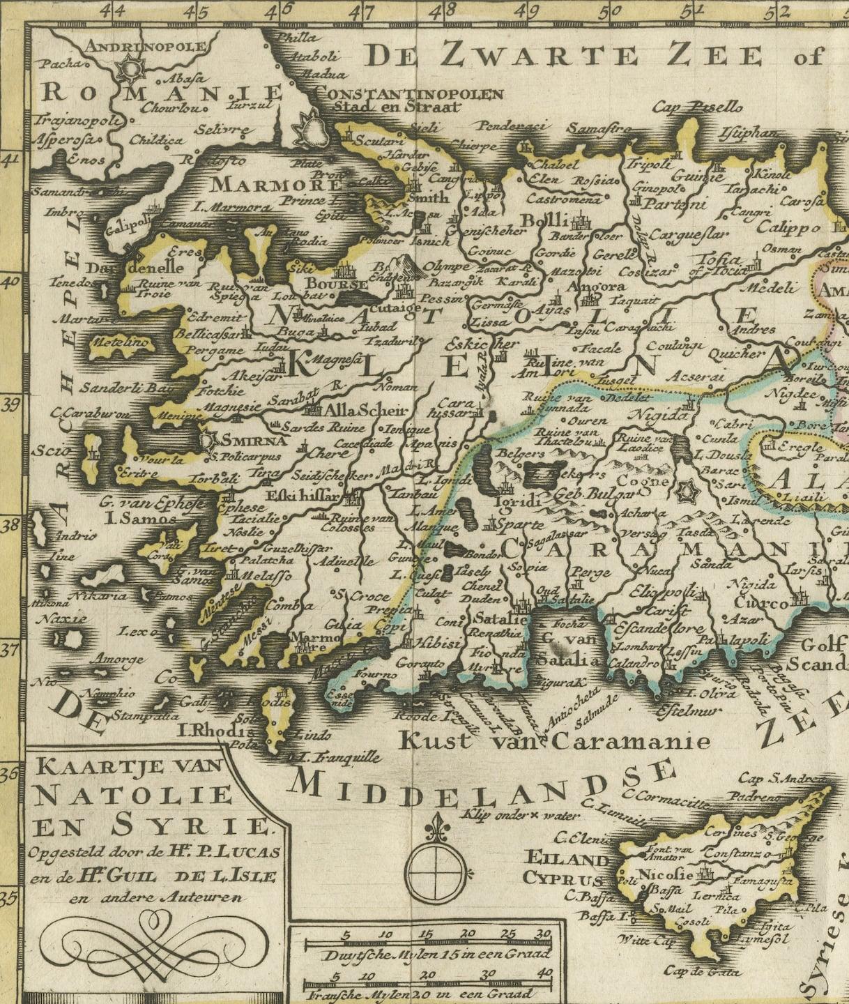
The title "Kaartje van Natolie en Syrie opgesteld door de Hr. Lucas en de Hr. Guil de L'Isle en andere auteuren" translates to "Map of Anatolia and Syria compiled by Mr. Lucas and Mr. Guillaume de L'Isle and other authors" in English.
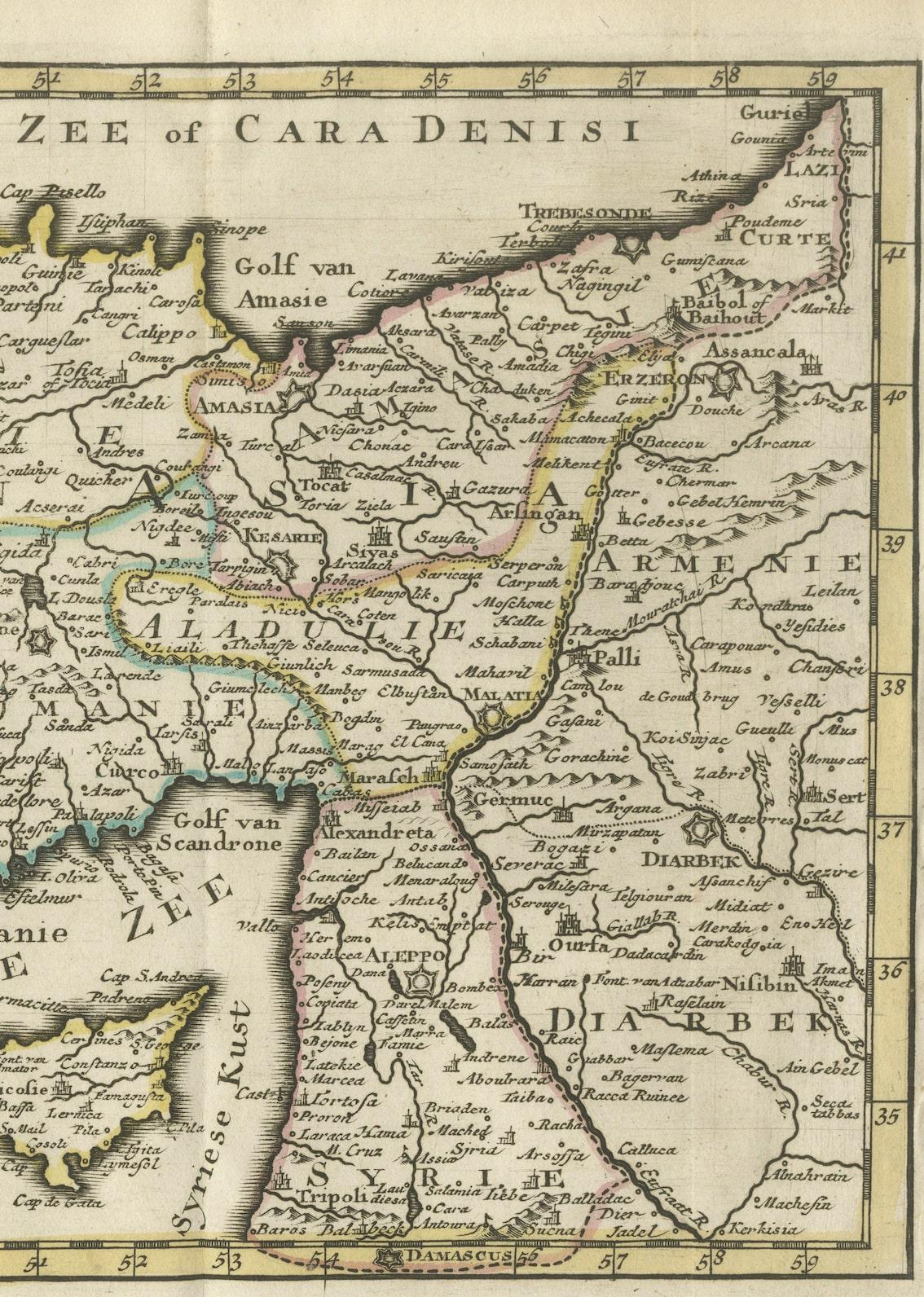
This title indicates a map that depicts the regions of Anatolia (part of modern-day Turkey) and Syria, created through the collaboration of Mr. Lucas, Mr. Guillaume de L'Isle, and possibly additional authors or contributors. It suggests a map designed to display the geographical features, cities, rivers, and other significant landmarks within Anatolia and Syria based on the collective work and expertise of these cartographers and other contributors.
Published by Jacob Keizer and by Jan de Lat Creator: Keizer, Jacob, active 1706-1750