Maps & PrintsBartele Gallery · Langweer
Home / Antique Maps / Europe / Europe as a Whole

Europe as a Whole

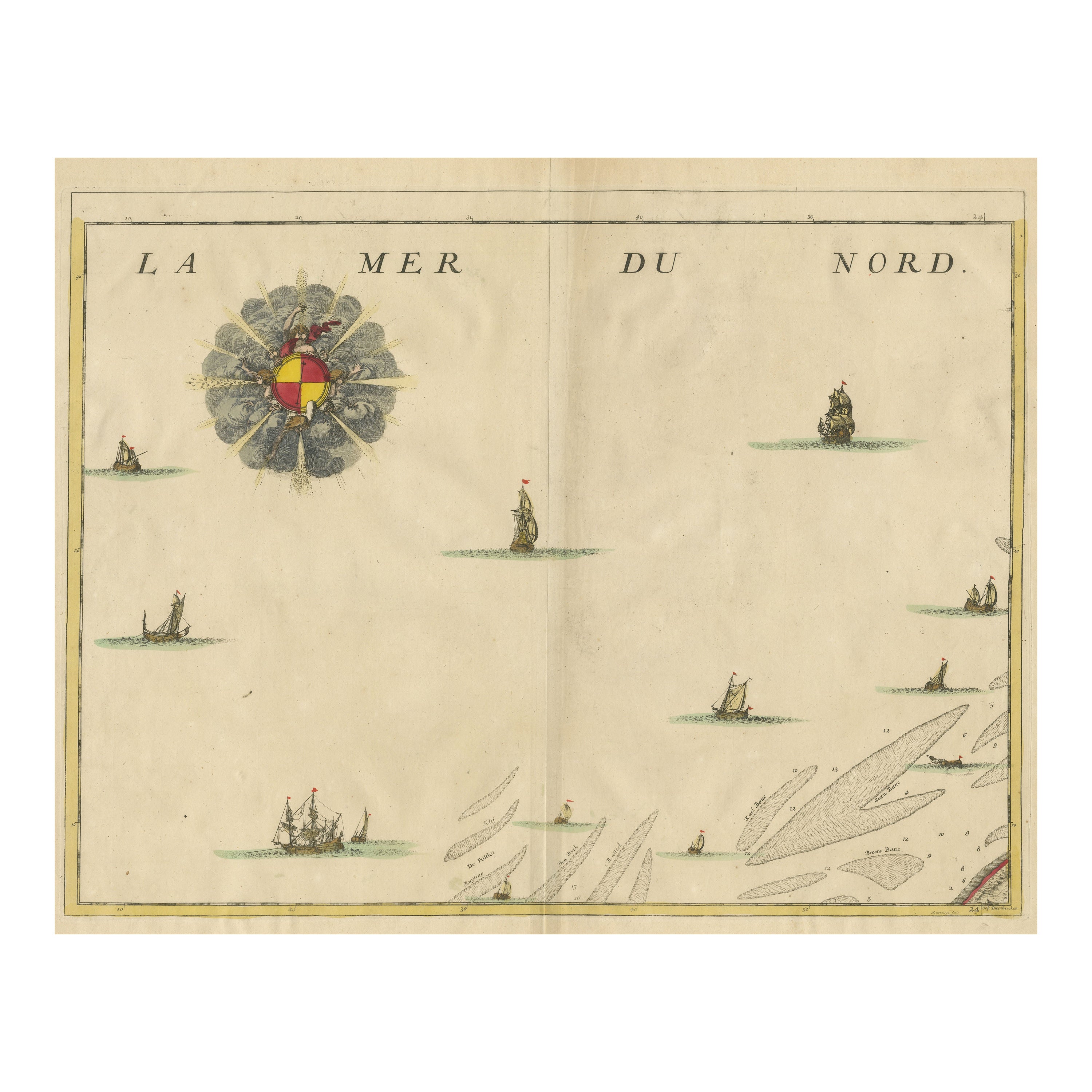

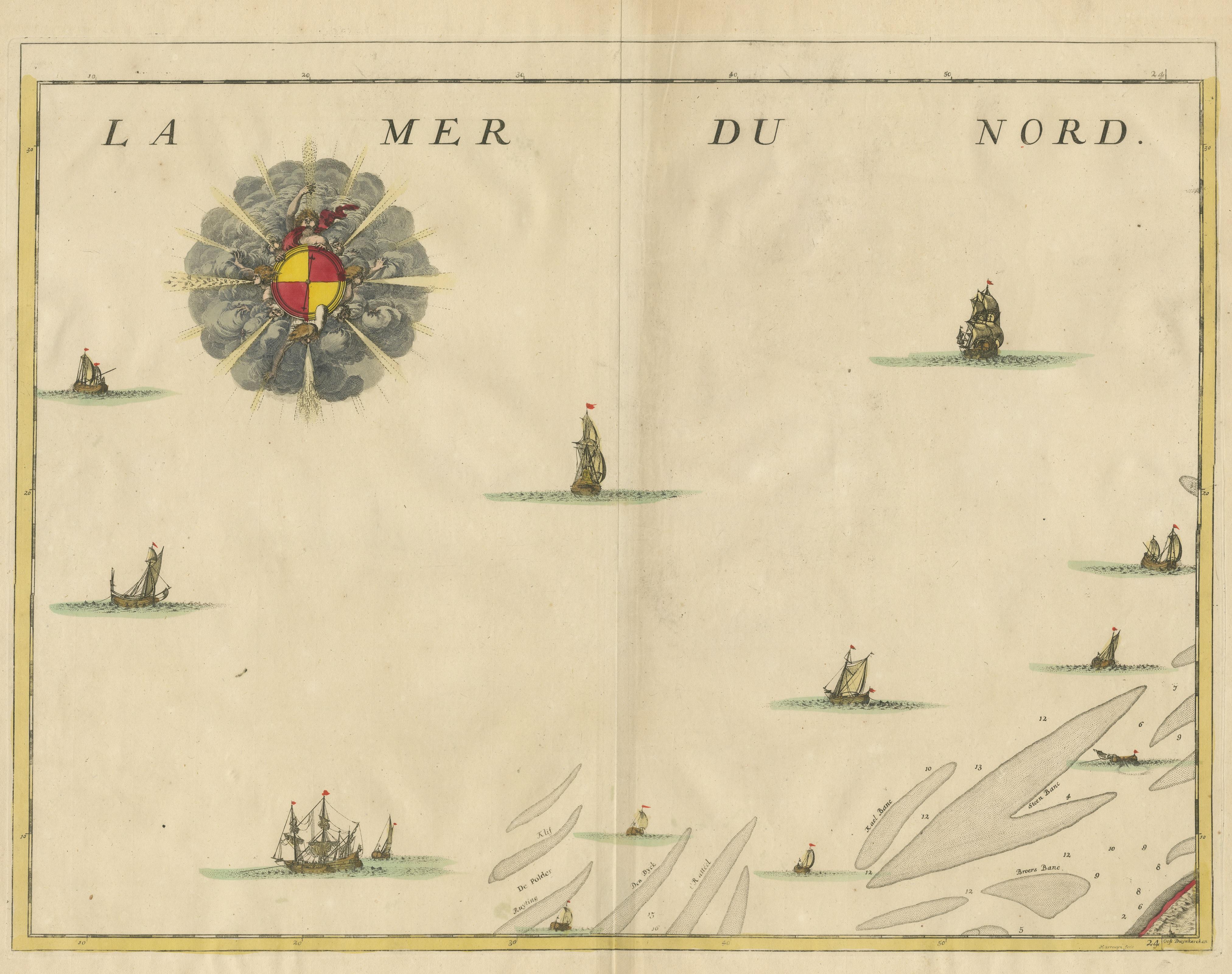
Antique Map of the North Sea and Dunkirk

€ 440

One of a kind: this is the sheet in the photographs. Ships from Langweer, the Netherlands.

Sheet size
53.2 × 61.3 cm (20.9 × 24.1 in)
Condition
Good
Reference
BG-13530-1

Condition

General age-related toning. Original folding line, with small split. Minor wear and soiling. Blank verso. Please study image carefully.
About this sheet

Untitled map of the North Sea, top left a large compass rose, bottom right Dunkirk (Duinkerke / Dunkerque), France. Part of a bundled collection of plans of battles and cities renowned in the Spanish succession war. Engraved by J. Harrewijn, published 1712.

More from Europe as a Whole

Ask about this sheet

Antique Map of the North Sea and Dunkirk
Ref. BG-13530-1 · € 440
We reply by email, usually within one working day.