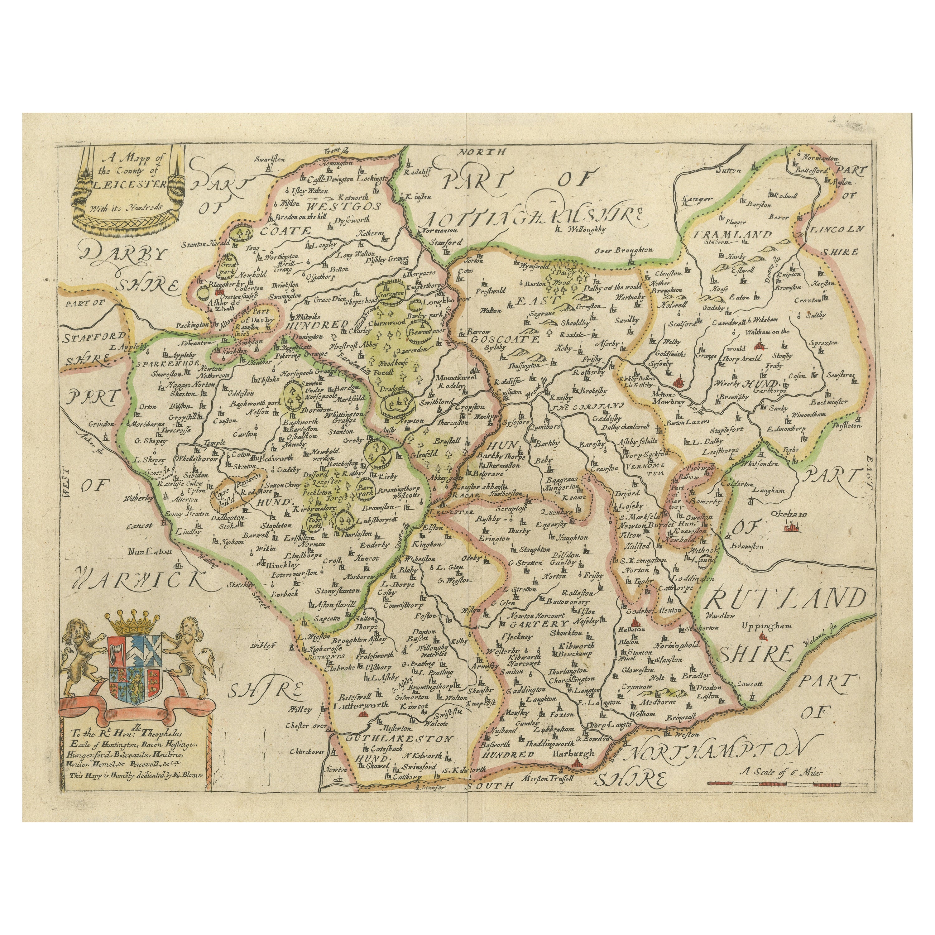
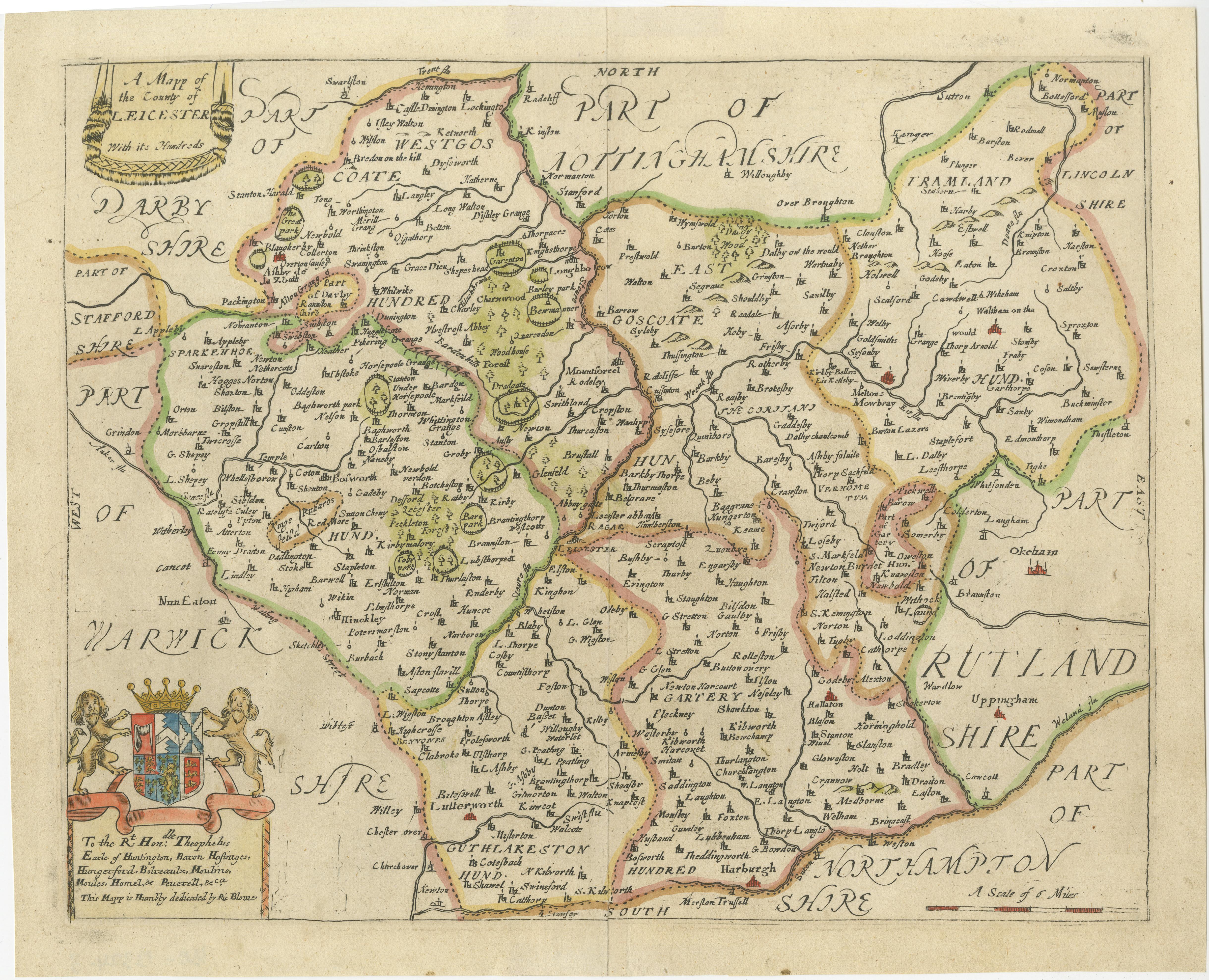
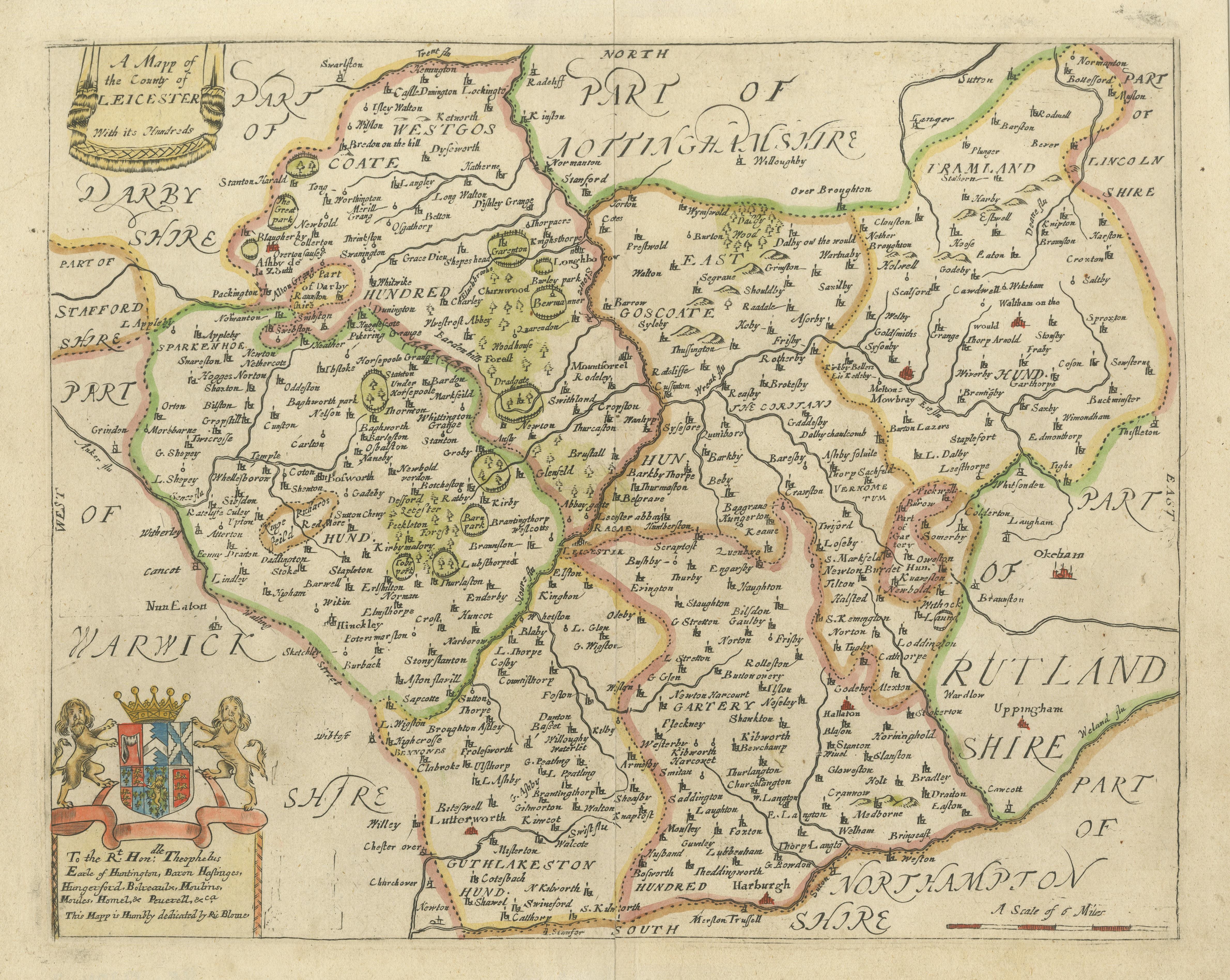
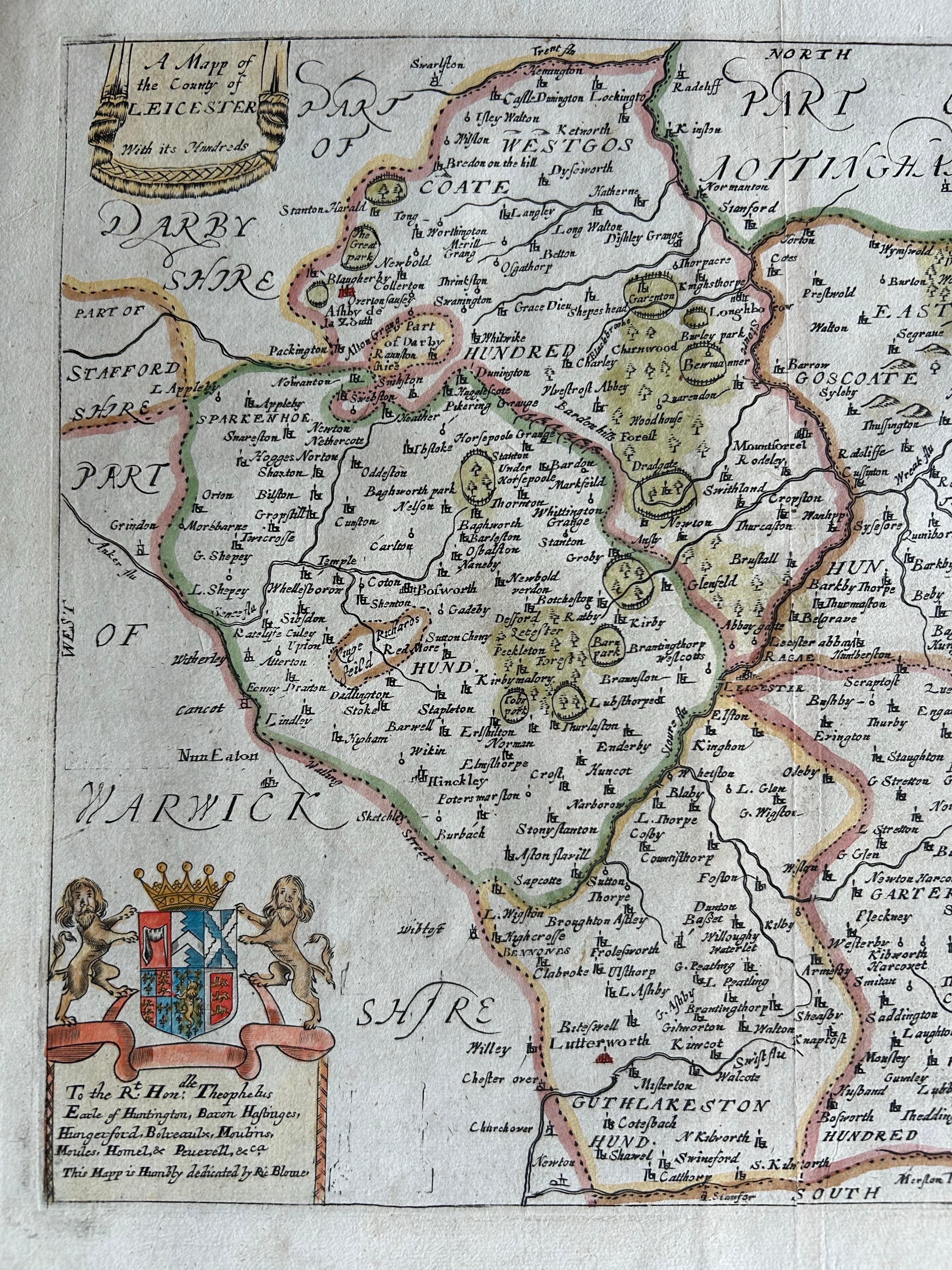
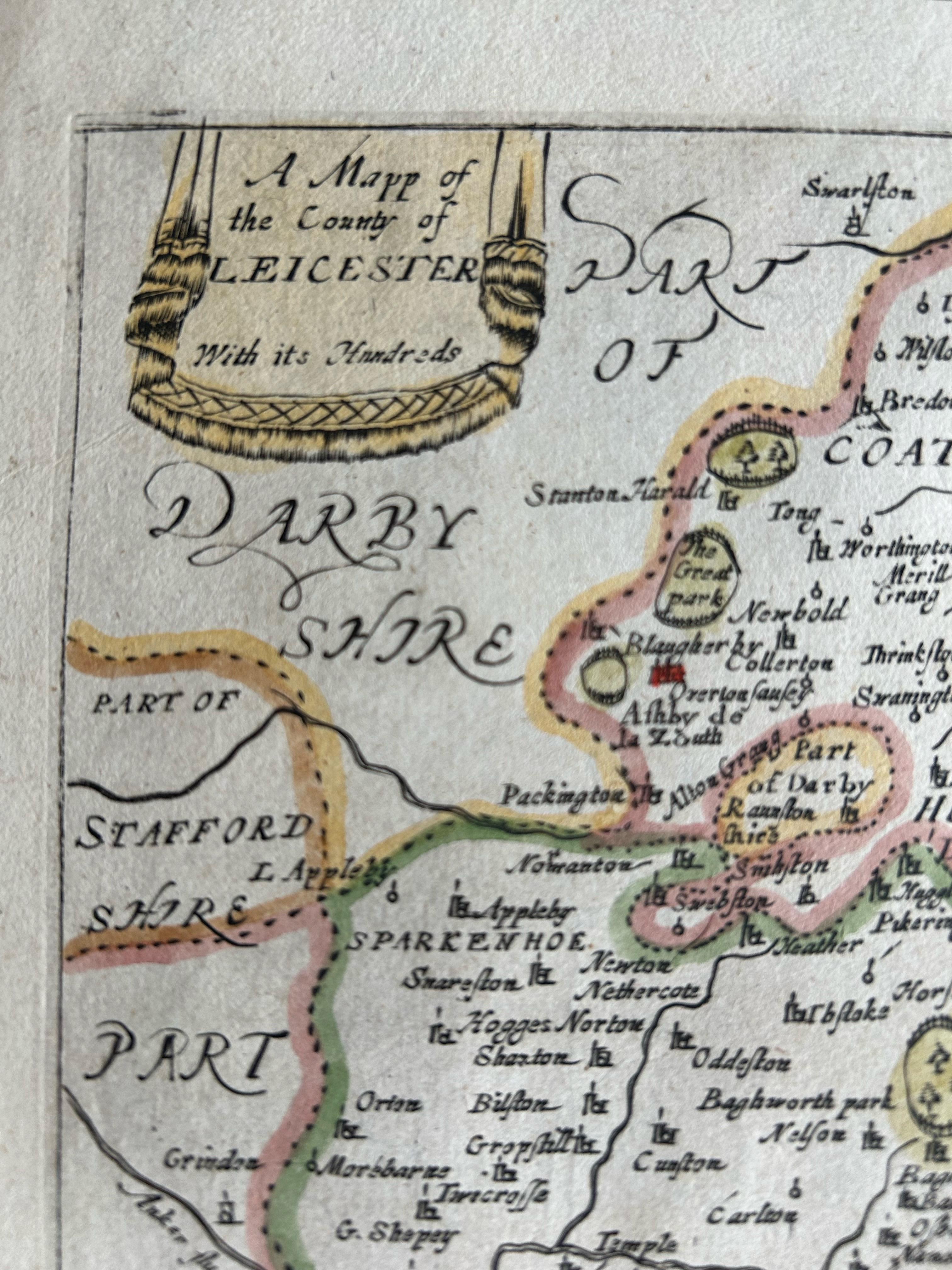
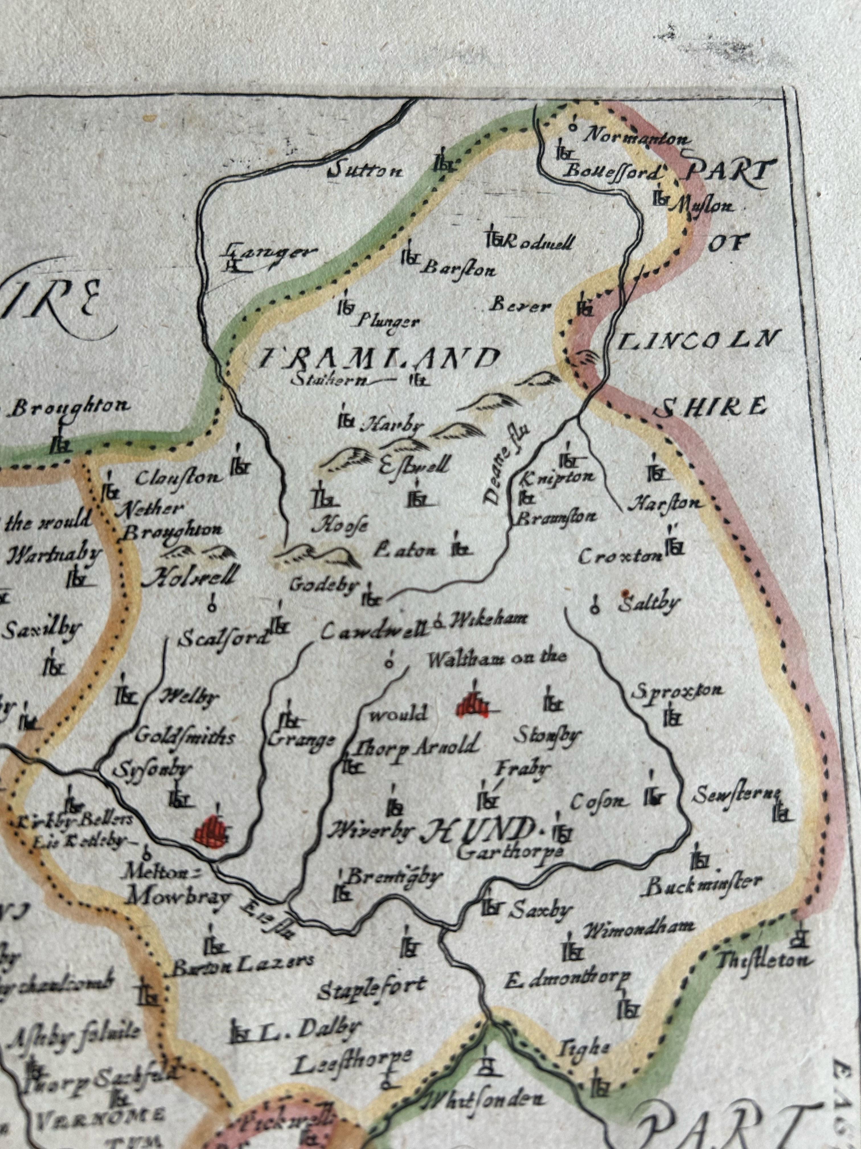
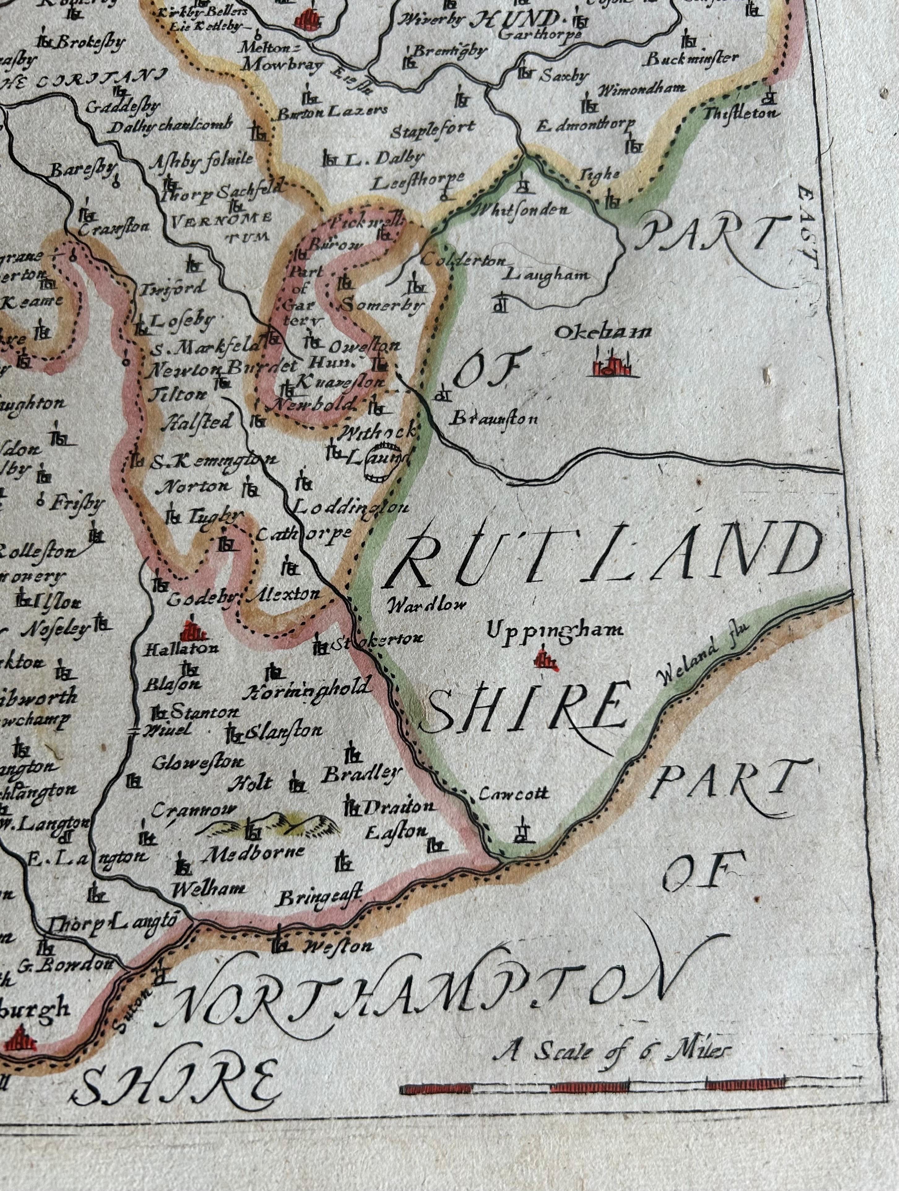
Leicestershire – Antique Map of Leicester by Richard Blome, Britannia 1673
€ 440
One of a kind: this is the sheet in the photographs. Ships from Langweer, the Netherlands.
Date
1673
Sheet size
27.4 × 34 cm (10.8 × 13.4 in)
Condition
Good
Reference
BG-13324-3
Condition
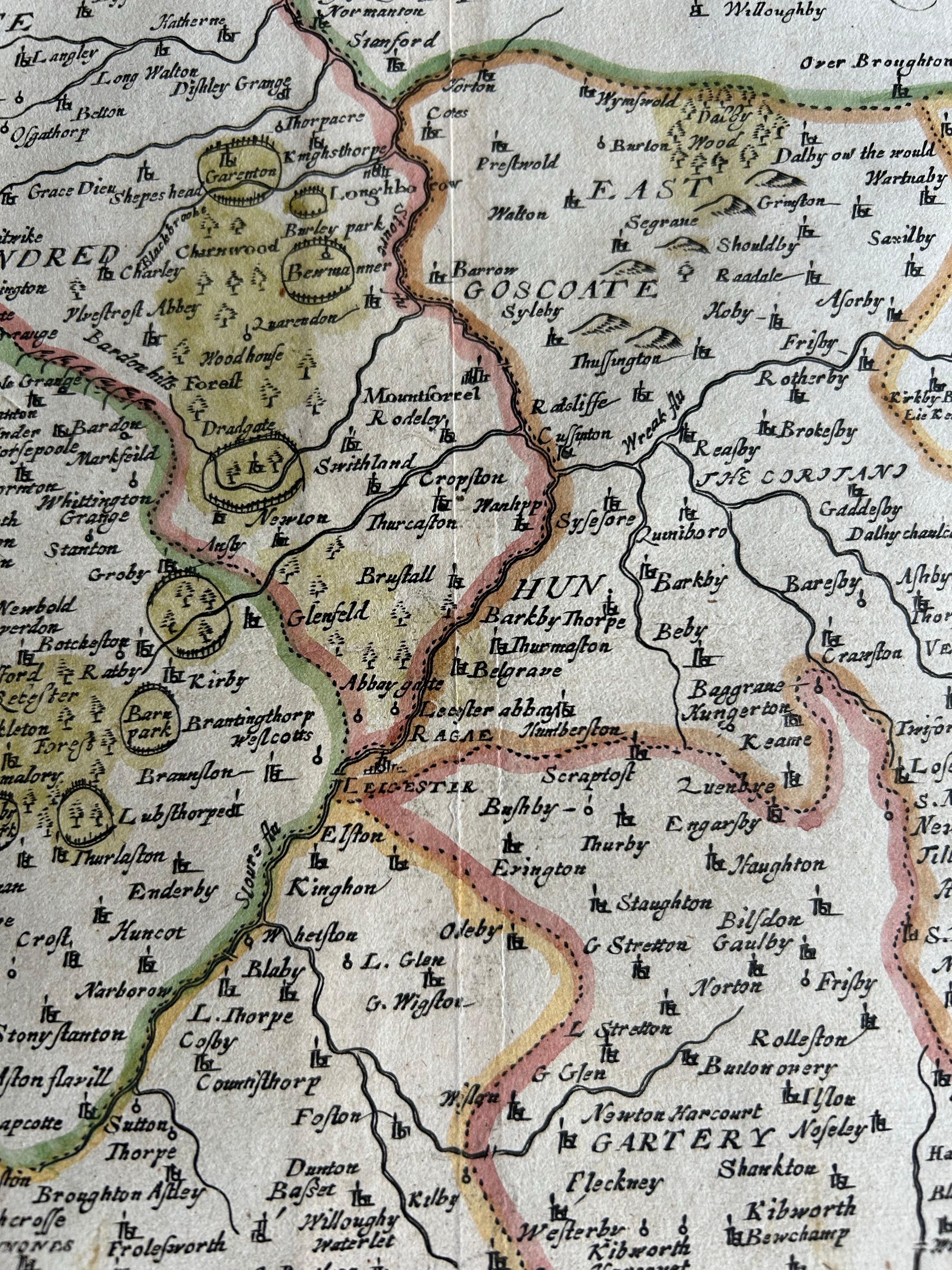
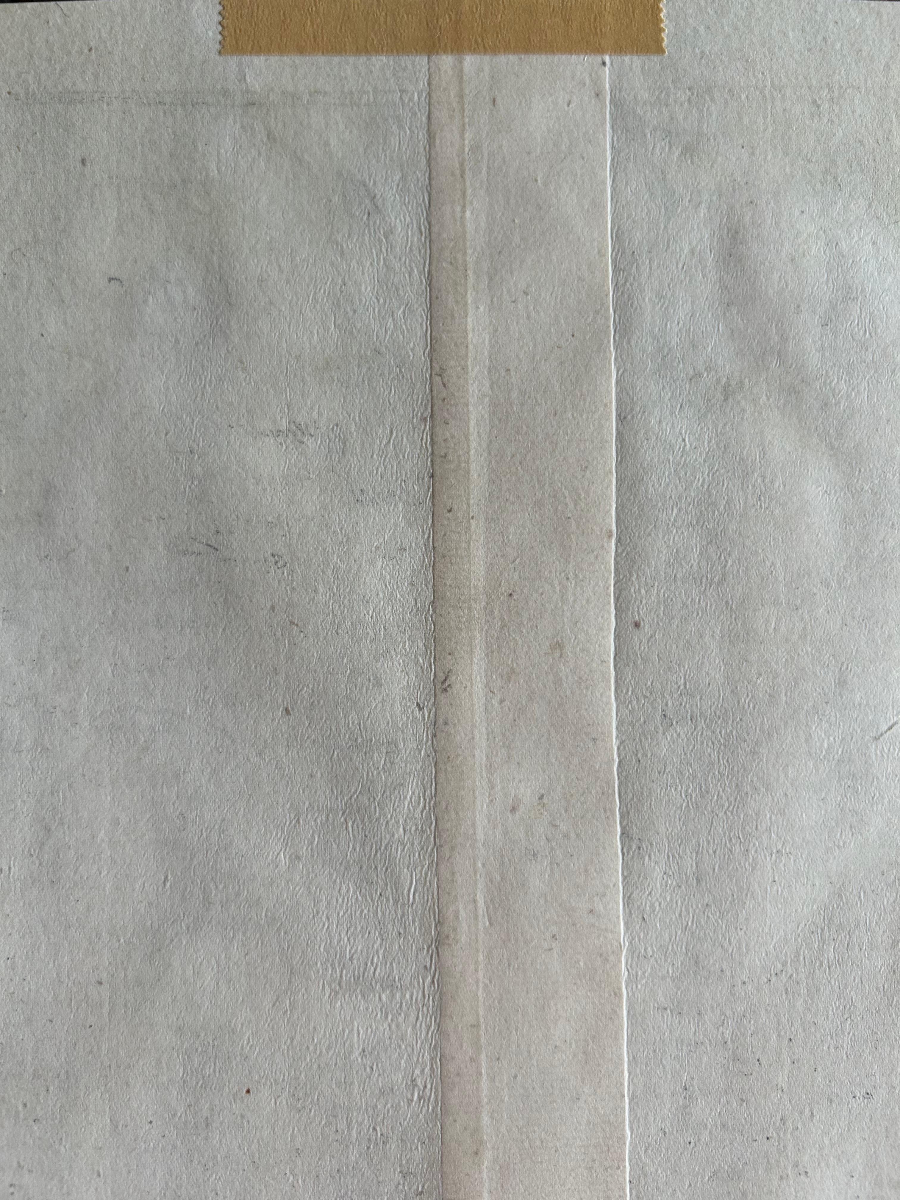
Very good condition with clear impressions and attractive hand-coloring. Some light age toning and a few minor spots in the margins. No tears, two small tapes on the back of the paper, which are not visible from the front.
About this sheet
Leicestershire – Antique Map of Leicester by Richard Blome, Britannia 1673
This original antique map titled A Mapp of the Country of Leicester presents a detailed and decorative depiction of Leicestershire, England. Published in 1673 by Richard Blome, one of the leading cartographers of Restoration England, this map is from his important work Britannia: or, a Geographical Description of the Kingdoms of England, Scotland, and Ireland. Blome’s Britannia aimed to provide a comprehensive and visually engaging description of the British Isles at a time of increasing interest in national identity and regional geography.
The map is delicately hand-colored and features county boundaries, towns, forests, rivers, and roads. Prominent settlements such as Leicester, Loughborough, and Market Harborough are marked, and the surrounding counties—Warwickshire, Northamptonshire, Derbyshire, and others—are outlined. A large decorative cartouche bearing the royal coat of arms is positioned in the lower left corner, reinforcing the official and celebratory nature of Blome’s work.
Blome was known for commissioning his maps using a subscription model, and while he borrowed liberally from earlier cartographers like Saxton and Speed, his editions are prized for their unique aesthetic, typically engraved by Wenceslaus Hollar or Francis Lamb, with richly symbolic flourishes.
Maps from Britannia such as this one are valued for their historical content and as examples of 17th-century English cartography, blending geographic accuracy with ornate Baroque design.
Condition report: Very good condition with clear impressions and attractive hand-coloring. Some light age toning and a few minor spots in the margins. No tears, two small tapes on the back of the paper, which are not visible from the front.
Framing tips: A period-style black or dark oak frame with an ivory or pale tan mat would complement the muted hand-coloring and engraved detailing. A gilt fillet could add an elegant historical touch.