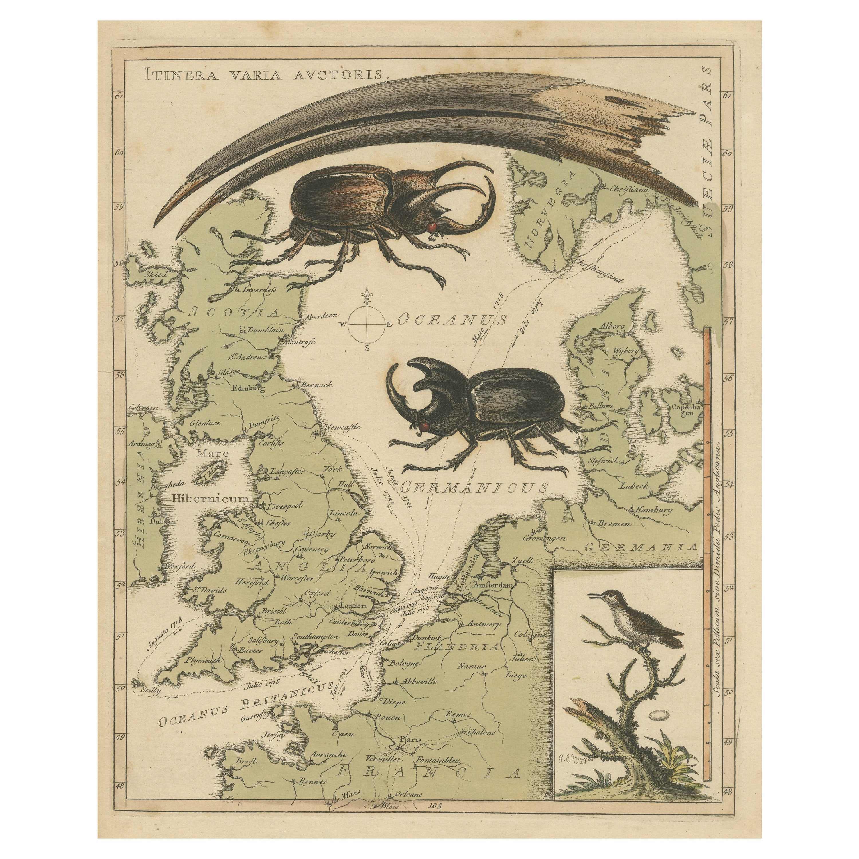
Interesting Map of Great Britain and Northern Europe with various Illustrations
€ 440
Original antique · The actual sheet photographed · Certificate of authenticity on request · Sold unframed · Worldwide shipping from € 15 (rates)
Sheet size
28.5 × 22.6 cm (11.2 × 8.9 in)
Condition
Good
Reference
BG-13396-27
What the condition grades mean
Excellent
Bright and clean, with no faults worth mentioning.
Very good
Only light signs of age, such as faint toning.
Good
Normal signs of age for a sheet of this period: toning, some foxing, small marks or neat old repairs.
Fair
Clear faults such as staining, tears or repairs, priced to match.
Every fault we see is written in the condition note, and the whole sheet is shown uncropped in the photos.
Condition
Original/contemporary hand coloring. Minor wear and soiling. Blank verso, with two small pieces on top. Please review the images for further condition details.
About this sheet
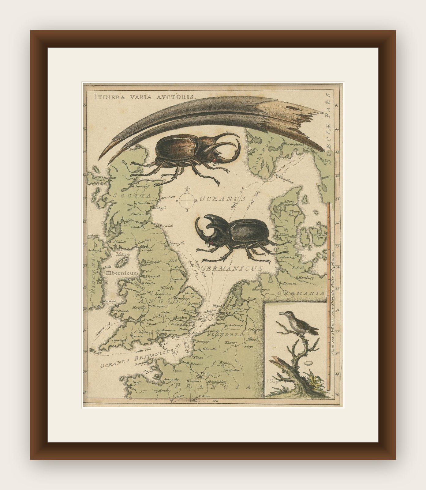
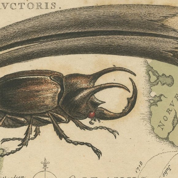
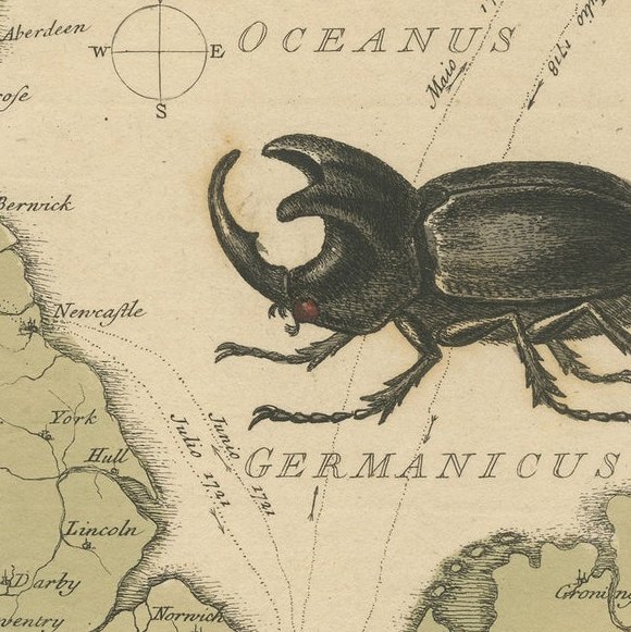
Antique map titled 'Itinera Varia Auctoris'. Very interesting map of Great Britain and Northern Europe. The map shows Edwards' journeys between 1716-1730 to study his beloved birds and other natural creatures, including Holland in 1716 and again in 1730, Norway in 1718, and France from 1719-1721. The North Sea is filled with illustrations of a beak of the Egyptian Ibis, life size male and female stag beetles from Borneo and in lower right the Least Hummingbird of Jamaica.
This fascinating map was drawn by artist, naturalist, and ornithologist George Edwards (1694-1773) and was published in his A Natural History of Uncommon Birds (1743-51), a four-volume work featuring more than 200 stunning bird engravings based on Edwards' original drawings. Edwards' publication was immediately popular, and was subsequently republished in several editions. The map shows Edwards' journeys between 1716-1730 to study his beloved birds and other natural creatures, including Holland in 1716 and again in 1730, Norway in 1718, and France from 1719-21.