About this sheet
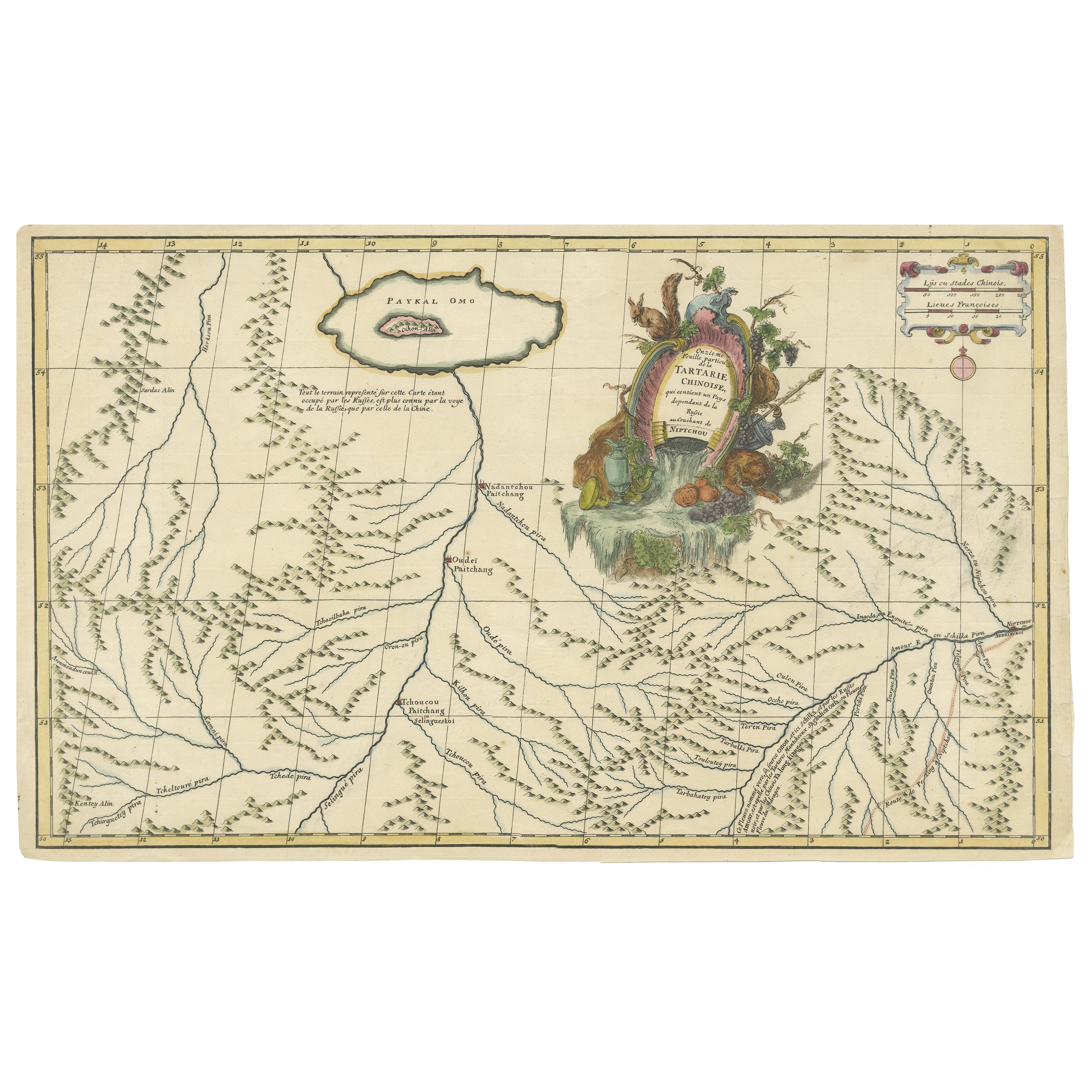
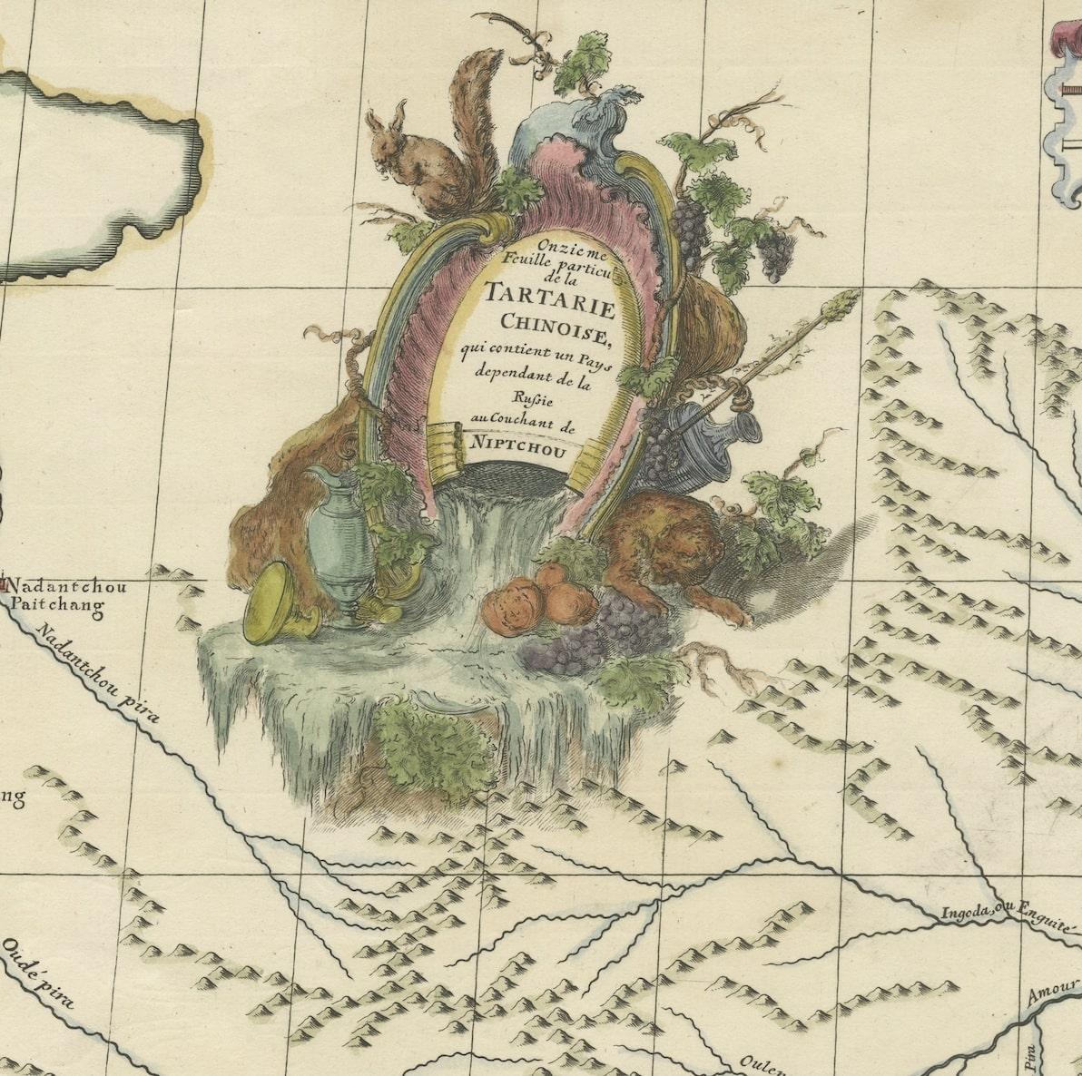
The antique map titled " Ozieme feuille particuls de la Tartarie Chinoise, qui contient un pays dependant de la russie aucouchant de NIPTCHOU " translates to "Sixth sheet of parts of Chinese Tartary, which includes a country dependent on Russia to the west of NIPTCHOU. " This map, originating from the 18th century, is a part of a series delineating sections of the Chinese Tartary region.
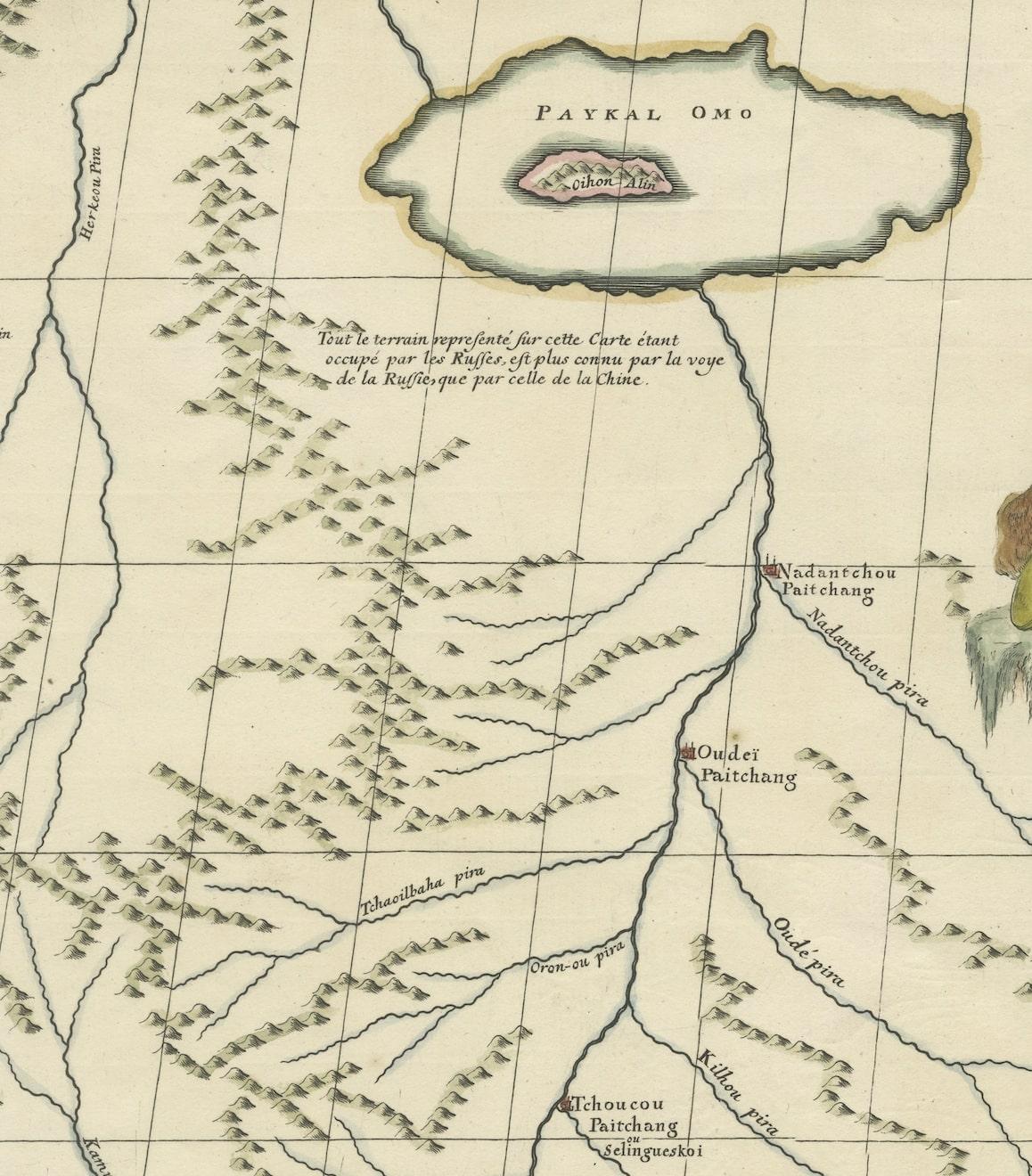
It specifically highlights a territory within Chinese Tartary, situated to the west of NIPTCHOU, likely referencing the Nizhny Novgorod region in Russia. These maps aimed to provide geographic insights into regions within Chinese Tartary, detailing boundaries, cities, rivers, and topographical features.
As a historical artifact, this map contributes to the understanding of territorial demarcations and geographic knowledge prevalent during the 18th century. The map's details and cartographic accuracy offer valuable insights into the region's landscape and the geopolitical relationships between China and Russia at that time.
Source; Map of the Chinese Tartary. Relief shown pictorially.
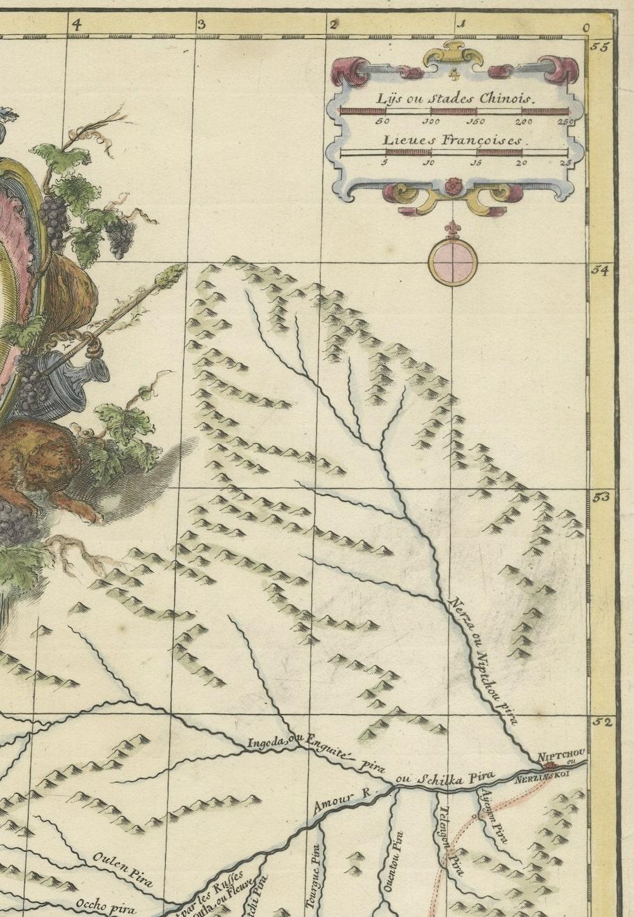
D'Anville's map showcases the northern region adjacent to Mongolia, emphasizing rivers, sparse settlements, and the road linking Niptchou (or Nerzinskoi) to Beijing. The map's eastern portion marks the road's beginning, and a decorative cartouche adds ornamental detail.
An anonymous French source from 1765 describes Nerzinskoi as a fortified city-state under the Grand Duke of Muscovy, positioned in Siberia and serving as the provincial capital of the Nerz dows. Inhabited by pagans, it boasts a robust garrison and enjoys the Czar's protective patronage.
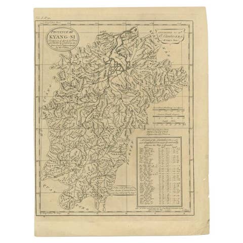
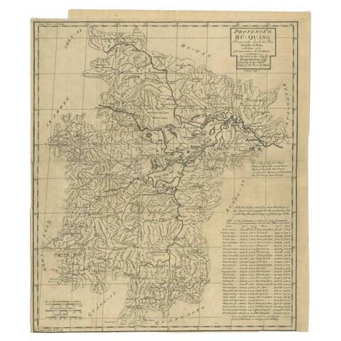
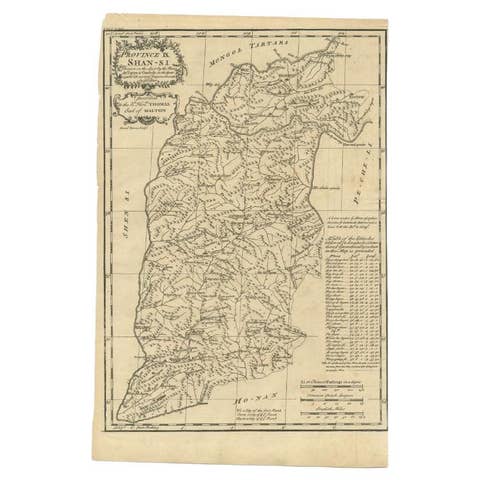
New atlas of China, Chinese Tartary and Tibet. drawn up by Jean Baptiste Bourguignon d’ Anville. The first edition of "the principal cartographic authority on China during the 18th century ". It was the second major atlas of China produced in Europe following the Martini/ Blaeu Novus Atlas Sinensis 1655. Atlas composed of general & special maps of these countries, as well as the map of the Kingdom of Korea. Includes engraved title page, with index “Liste et ordre des cartes comprises dans cet atlas ”,12 pages of descriptive text by a Swedish officer and 42 engraved maps, with decorative cartouches and compass roses. Some maps bound out of sequence, some folded and some outline hand color. Descriptive text on some maps. Includes a general map of Tibet together with 9 regional maps and 12 maps of Chinese Tartary. Maps 3, 11, 12 show Great Wall of China. Map 18 shows Japan. Maps show topography, vegetation, waterways, ports, roads. Some maps include notes. Relief shown pictorially. D'Anville's maps also appeared in du Halde's 1732 "Description geographique historique... de l'Empire de la Chine et de la Tartarie Chinoise." Based on Jesuit sources, D' Anville's maps remained the definitive European rendering of China's provinces until the end of the 19th century. "The Kangxi Emperor employed Jesuit brothers (1708–18) to produce maps of the provinces of China using a combination of Western and Chinese survey methods. The maps were completed by 1721. They were sent back to Europe and became the basis for maps of China produced by Jean Baptiste Bourguignon d’ Anville in 1735. The main changes from traditional Chinese mapping were to use latitude and longitude as primary coordinates, map them using a spherical projection, and use astronomical measurements of latitude and longitude to establish baselines. Changes in latitude and longitude were found using traditional metric survey and relationships between distance north–south and latitude and distance east–west and longitude to convert to degrees.