Maps & PrintsBartele Gallery · Langweer
Home / Antique Maps / Europe / Western Europe

Antique Maps of Western Europe

690 original sheets

The Netherlands & Belgium 692France 580Germany 285United Kingdom & Ireland 369
Parthian Empire Map, Arsacid Persia & Bactria, Wilkinson London 1817
1817 · € 349
Hannibal’s Campaign Map, Spain to Italy via Alps, Wilkinson London 1817
1817 · € 390
Roman Empire Map, Europe Mediterranean & Near East, Wilkinson London 1817
1817 · € 590
Roman Britain Map, Britannia Romana, Ancient England Wales Wilkinson 1817
1817 · € 399
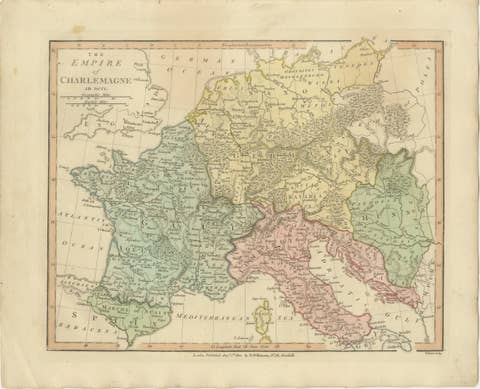
Charlemagne’s Empire Map, Carolingian Europe France Germany Italy 1817
1817 · € 349
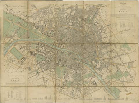
Antique Map Paris, SDUK Plan, Linen Backed, Hand Colored c.1855
1855 · € 990
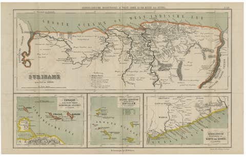
Suriname, Curaçao & Dutch Guinea – Jacob Kuyper Colonial Atlas Map, 1882
1882 · € 390
Antique Map of British North America, Canada and Hudson Bay, 1860
1860 · € 370
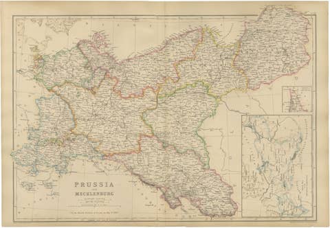
Original Antique Map of Prussia and Mecklenburg, Germany c.1860
1860 · € 440
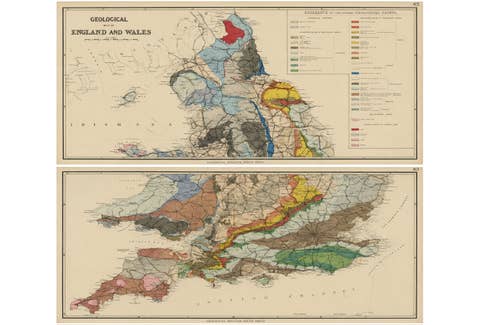
Antique Geological Map of England & Wales, Hand-Colored, c.1880
1880 · € 1 150
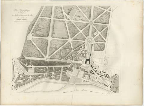
Plan of the Château and Gardens of Saint-Cloud by Baltard, Paris, 1803
1803 · € 425
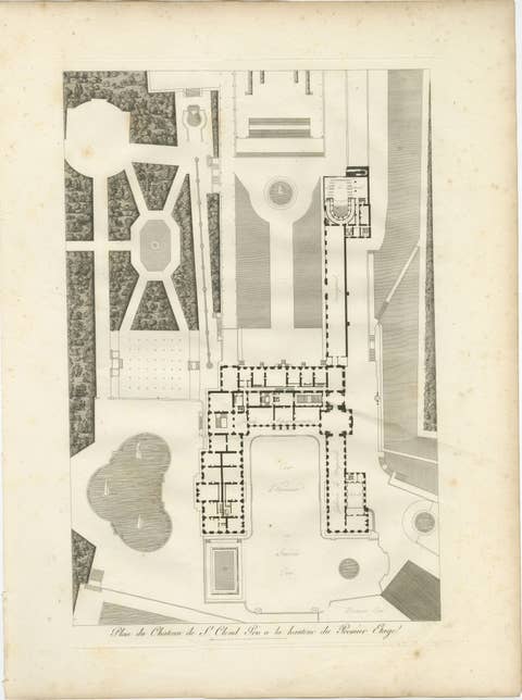
Plan of the Château de Saint-Cloud First Floor by Baltard, Paris, 1803
1803 · € 525
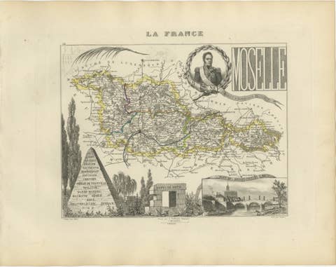
Antique Decorative Map of Moselle, France by Vuillemin, circa 1850
1850 · € 250
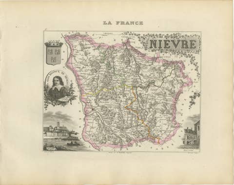
Antique Decorative Map of Nièvre, France by Vuillemin, circa 1850
1850 · € 280
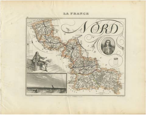
Antique Decorative Map of Nord, France by Vuillemin, circa 1850
1850 · € 220
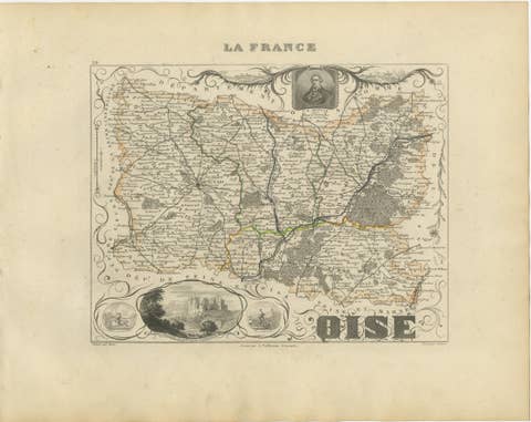
Antique Decorative Map of Oise, France by Vuillemin, circa 1850
1850 · € 220
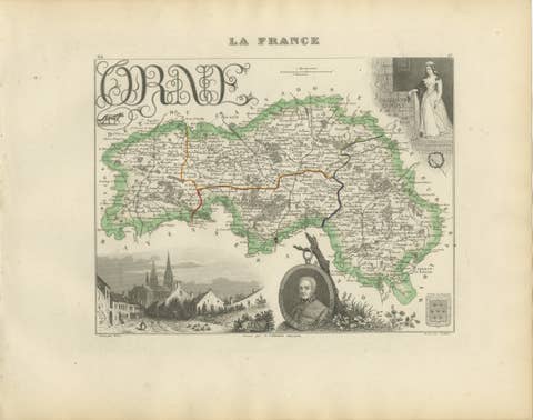
Antique Decorative Map of Orne, Normandy by Vuillemin, circa 1850
1850 · € 290
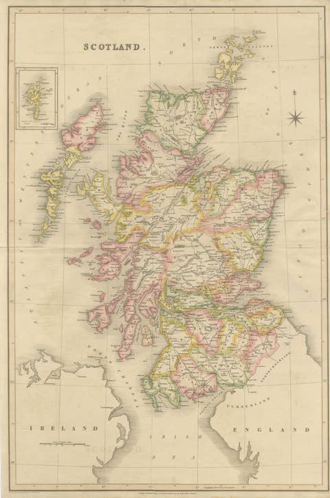
Antique Map of Scotland by T. L. Murray with Original Color, 1830
1830 · € 495

Your favorites

Saved in this browser. Email the list to yourself to keep it on any device.

We use your email to send this list and, only if you tick the box and confirm, for occasional new arrivals. Every email has an unsubscribe link. Bartele Gallery, the Netherlands.

Powered by SiteKeys