About this sheet
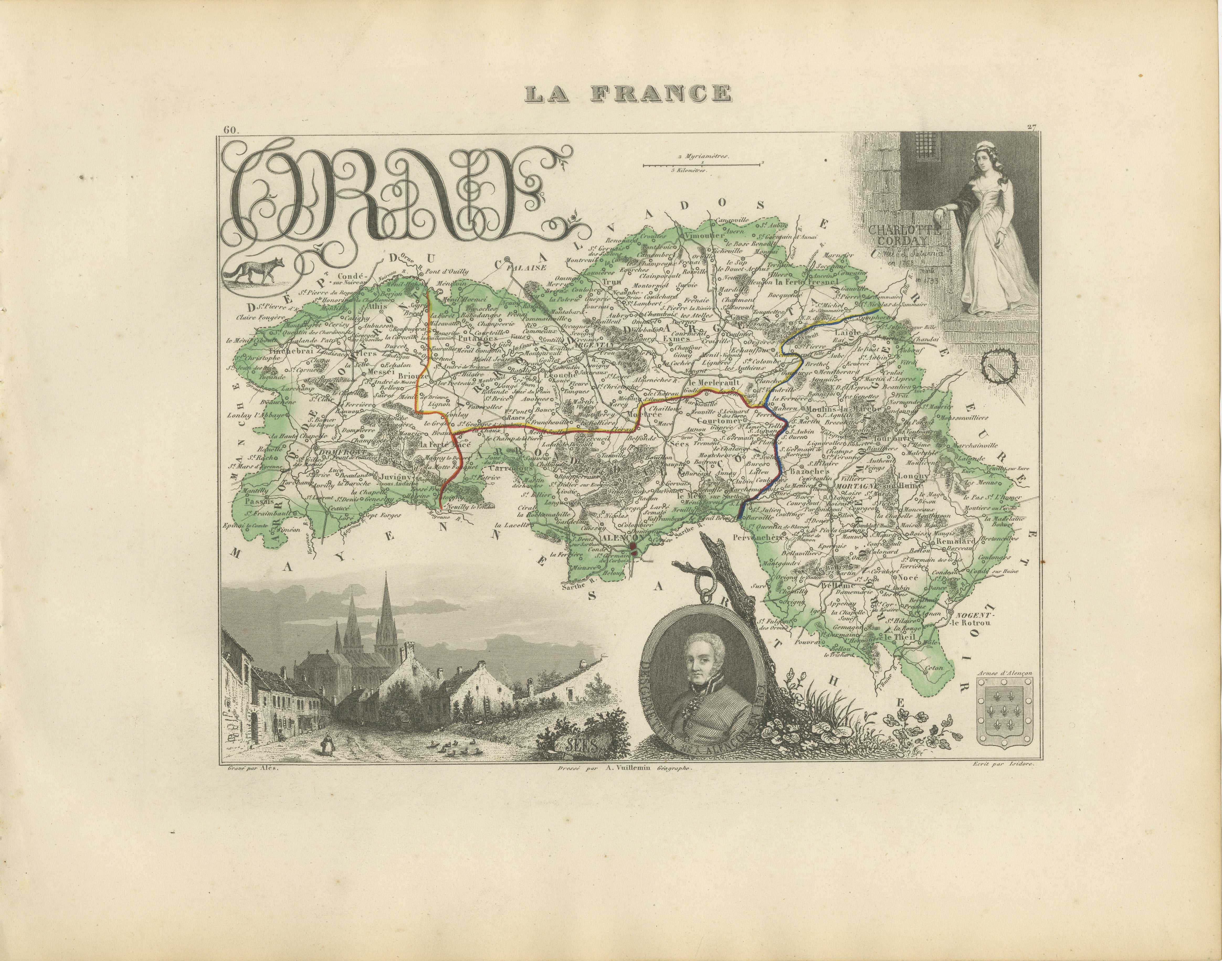
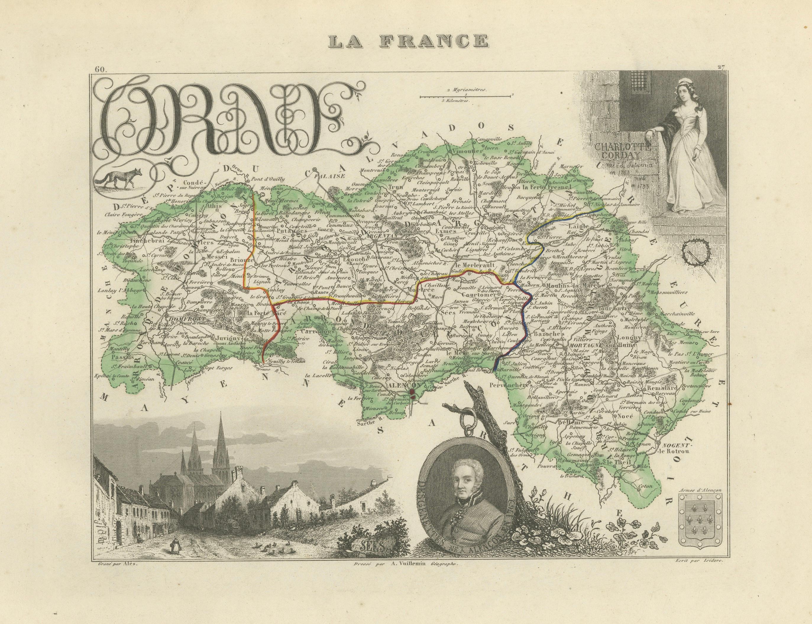
Original antique map of the French department of Orne, published in Paris around 1850 by the French cartographer Alexandre Vuillemin.
The map was issued as part of Vuillemin’s celebrated decorative atlas La France Illustrée, admired for combining detailed regional cartography with historical portraits, heraldic devices and picturesque architectural views.
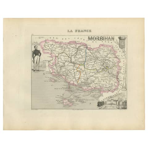
Numbered 60, the map depicts the towns, villages, roads, rivers and administrative boundaries of Orne. The department and its internal divisions are distinguished by attractive original hand colouring.
Notable locations shown include Alençon, Argentan, Sées, Mortagne-au-Perche, Domfront, Flers, La Ferté-Macé, Bagnoles, Bellême, L’Aigle, Vimoutiers, Gacé, Trun, Carrouges, Écouché, Tinchebray, Briouze, Tourouvre, Rémalard and Longny-au-Perche.
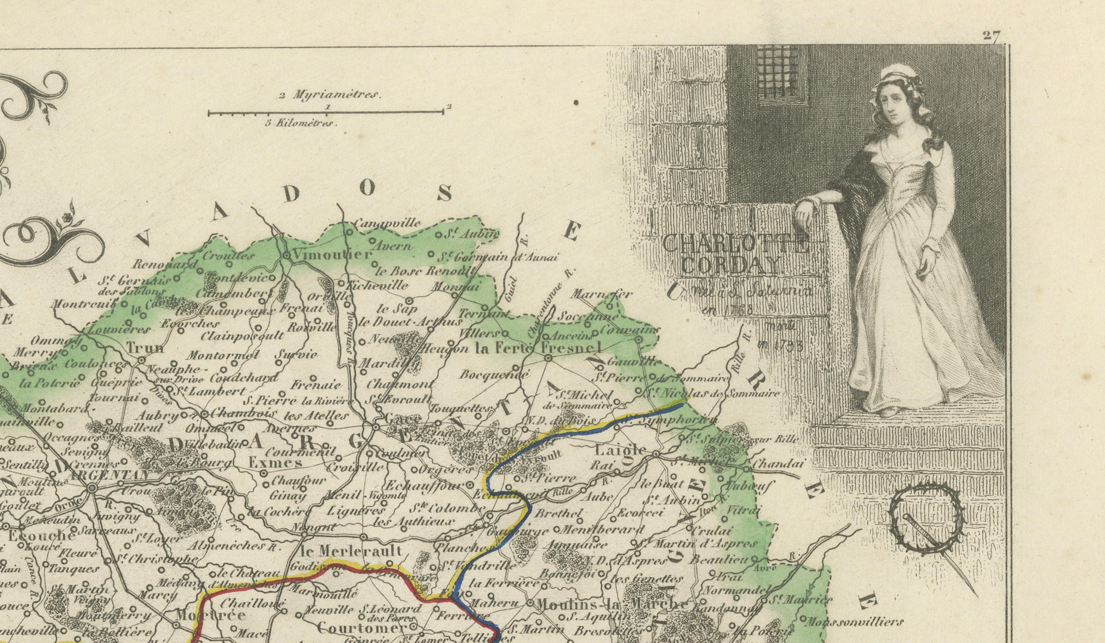
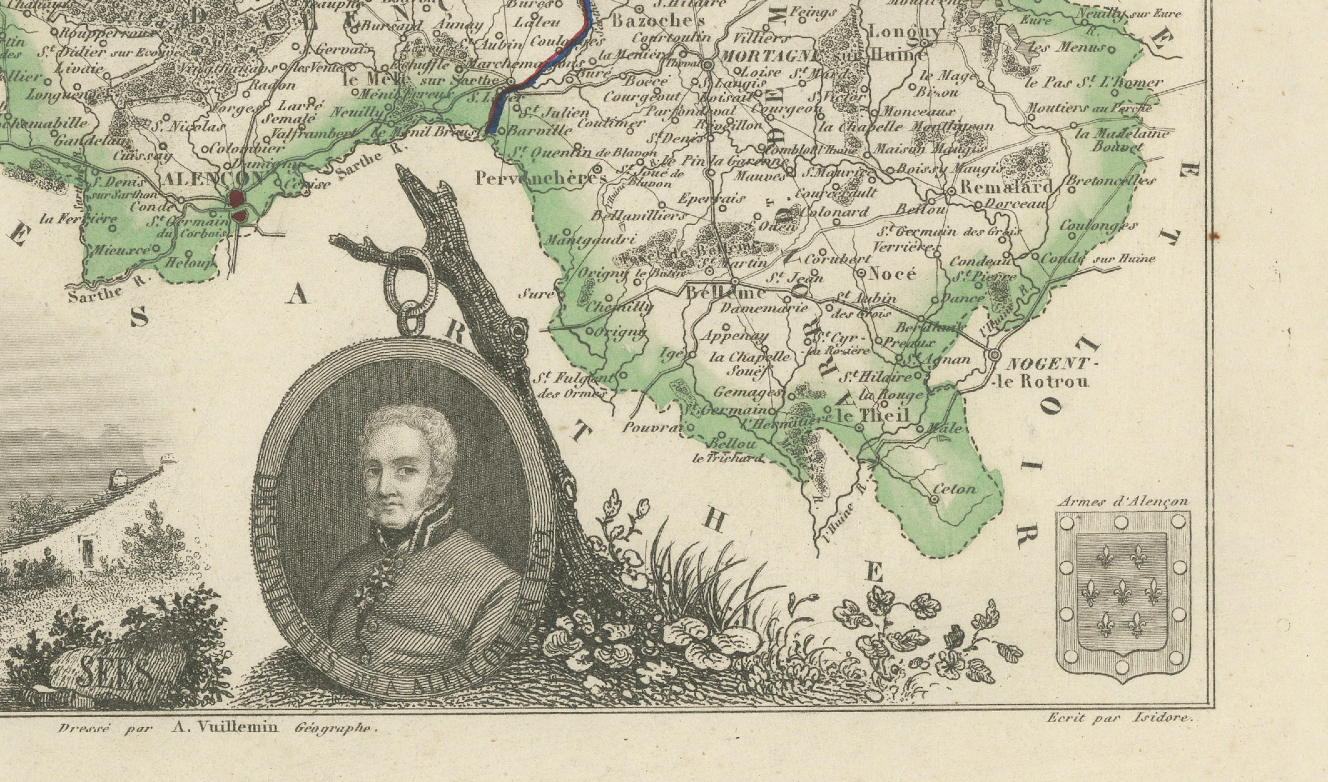
The decorative composition includes a portrait of Charlotte Corday, a portrait of the French military physician René-Nicolas Dufriche Desgenettes, a detailed view of Sées and the historic arms of Alençon. These subjects are specifically associated with known versions of Vuillemin’s decorative Orne map.
Charlotte Corday was born in the Orne region in 1768 and became one of the best-known figures of the French Revolution. The depicted Desgenettes served as chief physician during Napoleon’s Egyptian campaign and published his medical history of the Army of the Orient in 1802.
Orne lies within Normandy and is renowned for its rural landscapes, stud farms, historic market towns and regional gastronomy. The village of Camembert in Orne gave its name to the internationally celebrated Camembert cheese. The southern Domfrontais area is especially associated with Domfront poiré and Calvados Domfrontais, produced from Normandy’s traditional pear and apple orchards.
An attractive historical map for collectors of French cartography, Normandy, the French Revolution, Napoleonic history, equestrian culture and nineteenth-century decorative engravings.
This is an original antique engraving and not a modern reproduction. It is offered unframed. Any framed images are shown for presentation and interior inspiration only.
Technique: Engraving with original hand colouring
Maker: Alexandre Vuillemin
Place of Publication: Paris, France
Date: Circa 1850
Source: La France Illustrée
Department: Orne, number 60
Region: Normandy, France
Condition:
Good antique condition with general age-related toning, scattered foxing, minor stains and handling marks. The original hand-coloured areas remain attractive and clearly visible. Wear is consistent with age and use. Please examine the images carefully as they form an important part of the condition description.
Keywords:
Alexandre Vuillemin, antique Orne map, Orne France map, Normandy antique map, Normandie map, historic Normandy, antique Alençon map, Alençon France, Argentan map, Sées map, Sées Cathedral, Mortagne-au-Perche map, Domfront map, Domfront-en-Poiraie, Flers Normandy, La Ferté-Macé, Bagnoles-de-l’Orne, Bagnoles spa, Bellême map, L’Aigle map, Vimoutiers map, Gacé map, Trun Normandy, Carrouges map, Château de Carrouges, Écouché map, Tinchebray map, Briouze map, Tourouvre map, Rémalard map, Longny-au-Perche, Perche region, Parc naturel régional du Perche, Normandie-Maine Regional Park, Suisse Normande, French departmental map, La France Illustrée, decorative French map, nineteenth-century cartography, antique French engraving, original hand colouring, Charlotte Corday, French Revolution, René-Nicolas Desgenettes, Napoleonic physician, Napoleon Egypt campaign, view of Sées, arms of Alençon, Haras du Pin, Le Pin National Stud, Normandy horse country, French equestrian art, Camembert village, Camembert de Normandie, Normandy cheese, Pont-l’Évêque cheese, Livarot cheese, Neufchâtel cheese, Domfront poiré, Poiré Domfront AOP, Calvados Domfrontais, Normandy cider, Pommeau de Normandie, apple brandy, pear orchards, Boudin noir de Mortagne, Normandy gastronomy, French regional food, Normandy wall art, French country decor, château interior, library decor, office wall art, Francophile gift, original antique map